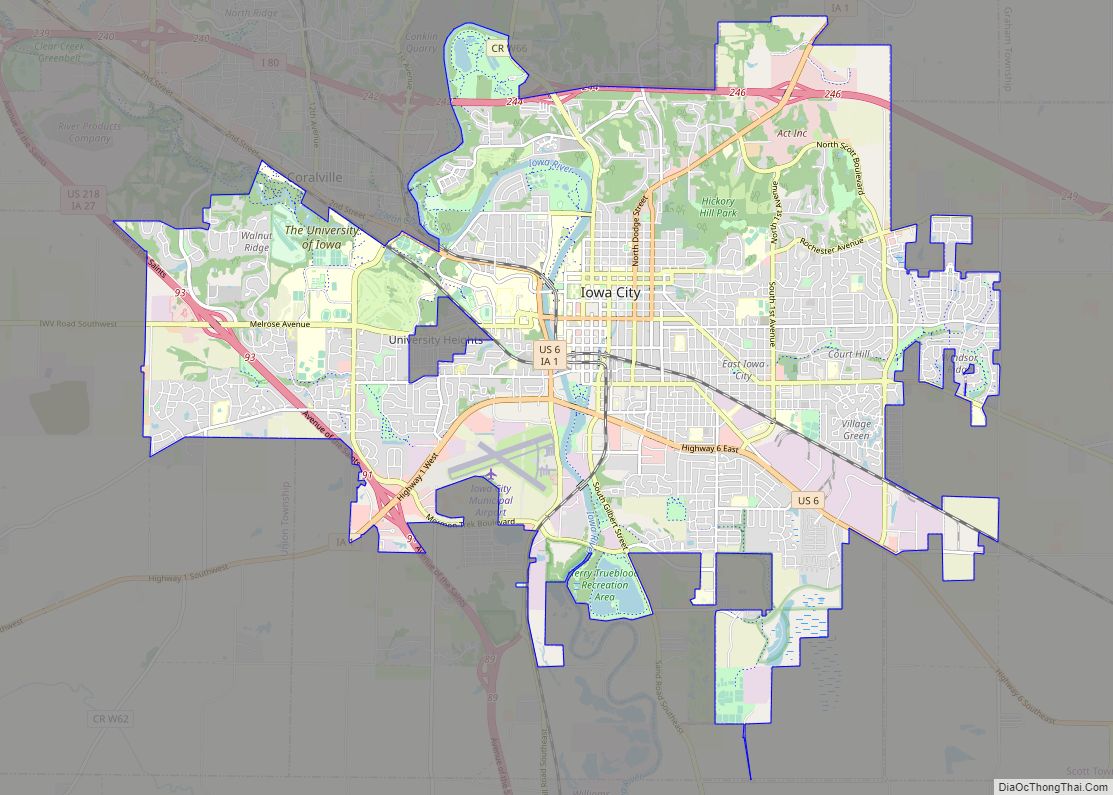
University Heights is a city in Johnson County, Iowa, United States. It is part of the Iowa City, Iowa Metropolitan Statistical Area. The population was 1,228 at the time of the 2020 census. It is an enclave surrounded by Iowa City, located near the campus of the University of Iowa. University Heights is very close to Kinnick Stadium.
According to The Gazette (Cedar Rapids), University Heights has a reputation among area motorists as a speed trap.
| Name: | University Heights city |
|---|---|
| LSAD Code: | 25 |
| LSAD Description: | city (suffix) |
| State: | Iowa |
| County: | Johnson County |
| Incorporated: | 1935 |
| Elevation: | 764 ft (233 m) |
| Total Area: | 0.23 sq mi (0.60 km²) |
| Land Area: | 0.23 sq mi (0.60 km²) |
| Water Area: | 0.00 sq mi (0.00 km²) |
| Total Population: | 1,228 |
| Population Density: | 5,339.13/sq mi (2,046.67/km²) |
| ZIP code: | 52246 |
| Area code: | 319 |
| FIPS code: | 1979770 |
| GNISfeature ID: | 0462482 |
| Website: | http://www.university-heights.org/ |
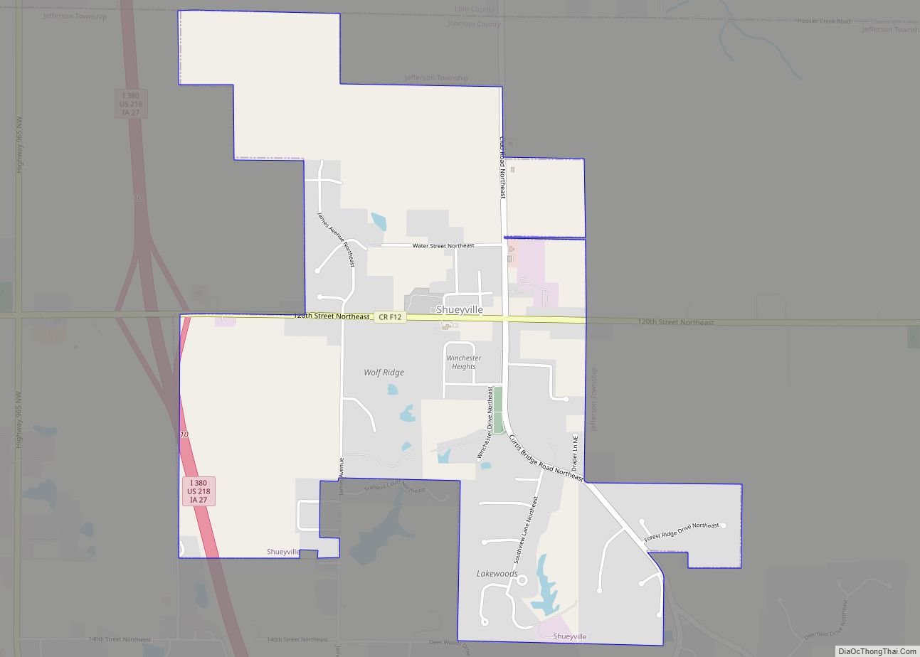
Online Interactive Map
Click on ![]() to view map in "full screen" mode.
to view map in "full screen" mode.
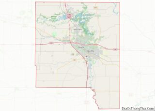
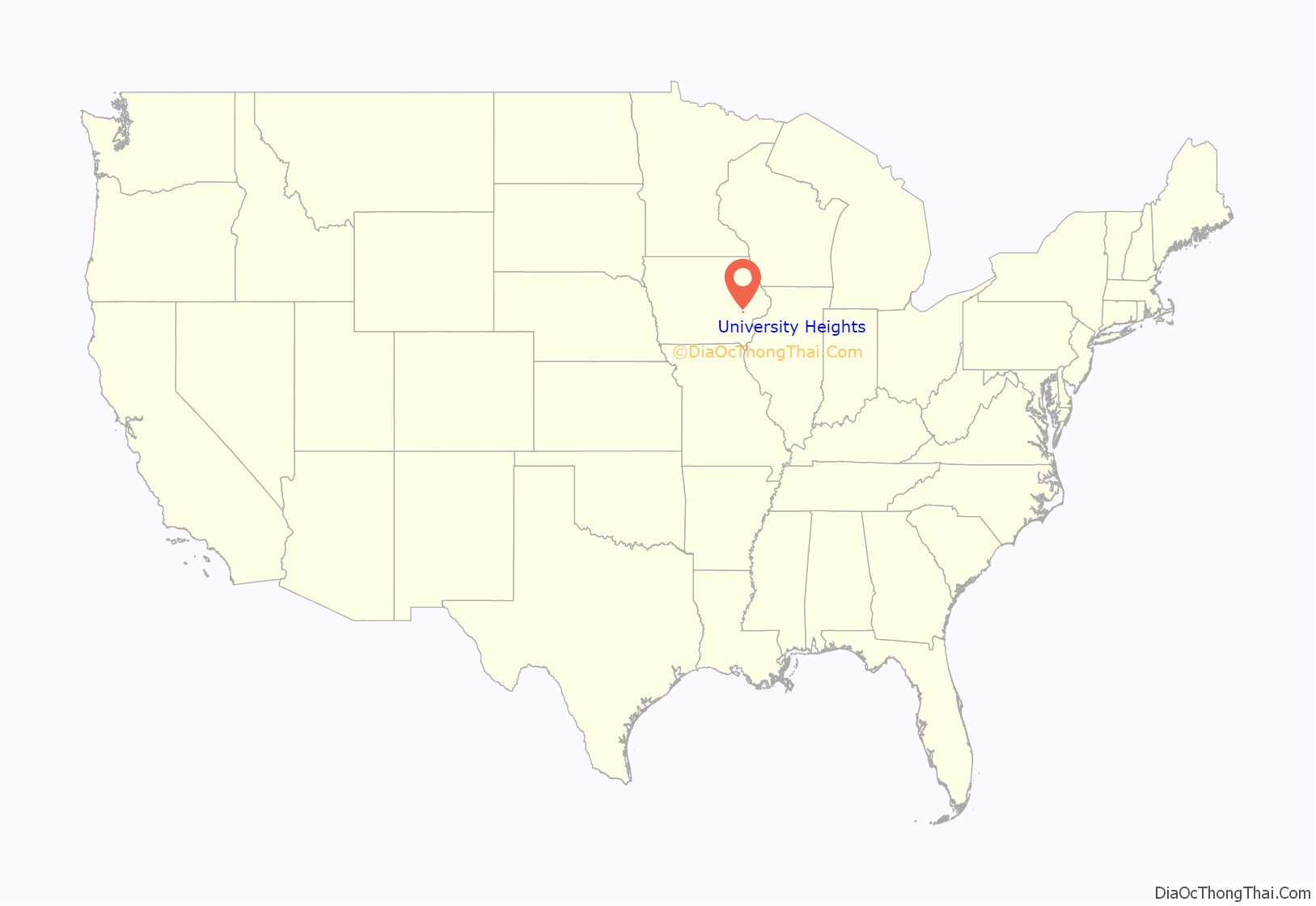
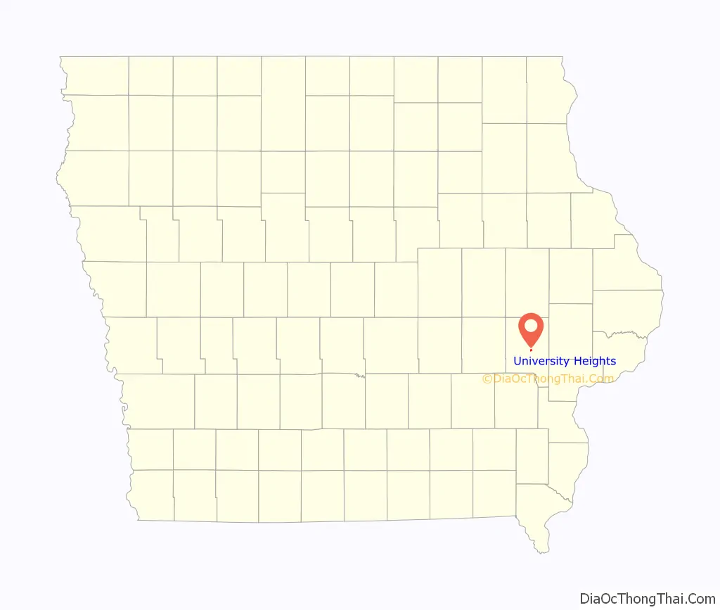
University Heights location map. Where is University Heights city?
History
At the turn of the 20th century, the area of present-day University Heights was known as West Lucas Township and consisted of several small farms and properties. At that time, the University of Iowa and Iowa City at large had not yet expanded westward past the Iowa River.
In the early 1920s, brothers Lee and George Koser began purchasing and developing the land that became the city of University Heights, anticipating the westward expansion of the University and the city. With the construction of the University’s General Hospital in 1928 and Kinnick Stadium in 1929, those predictions came true. By 1933, the City of Iowa City began annexing land on the west side of the river and in 1935, the city of University Heights was incorporated. By the 1960s, most of the remaining lots west of Sunset St. were developed and the land surrounding University Heights had been annexed by Iowa City, limiting future growth.
All 241 lots in the original subdivisions of University Heights were set up with restrictive covenants stating that the lots were “for the sole use and benefit of the Caucasian Race and no lot or parcel shall be sold, owned, or used or occupied by the people of any other race, except when used in the capacity of a servant or helper”. For 218 of the lots, Lee, Reka, George, and Tessie Koser were responsible for the language, while for the remaining 23, L.R. and Elizabeth Leamer were responsible. These racially restrictive covenants were legally enforceable until the Shelley vs. Kraemer US Supreme Court decision in 1948.
University Heights Road Map
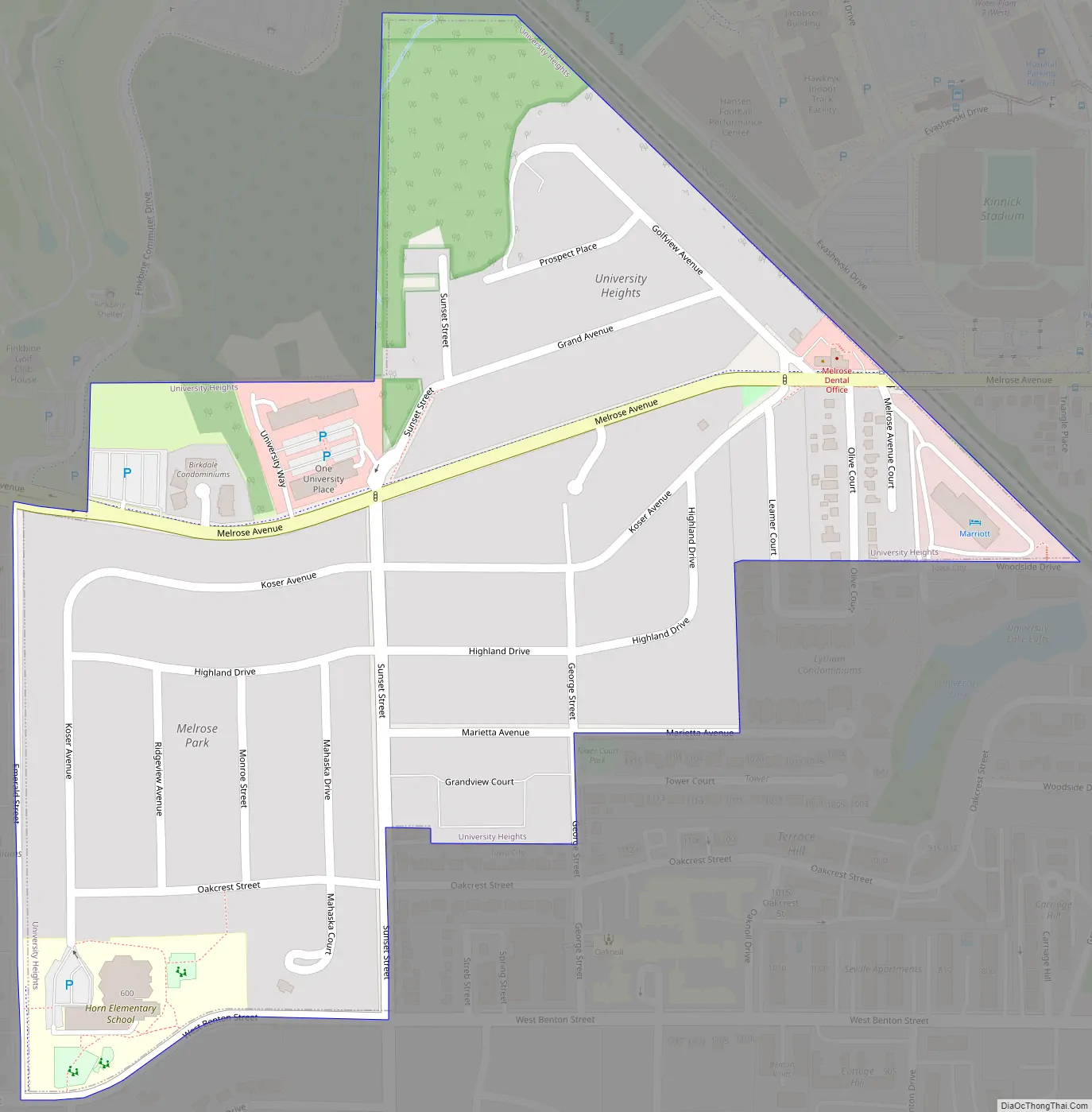
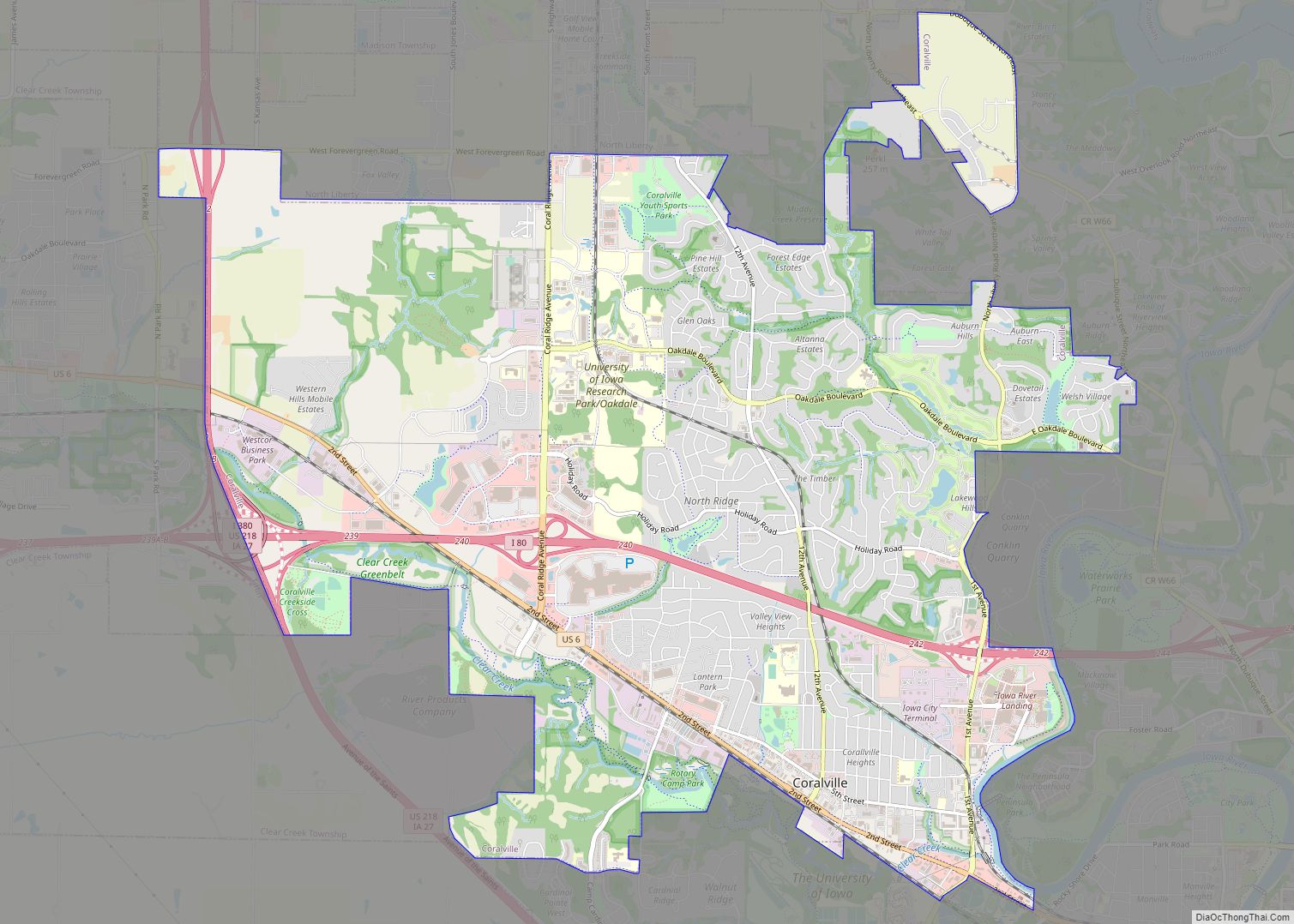
University Heights city Satellite Map
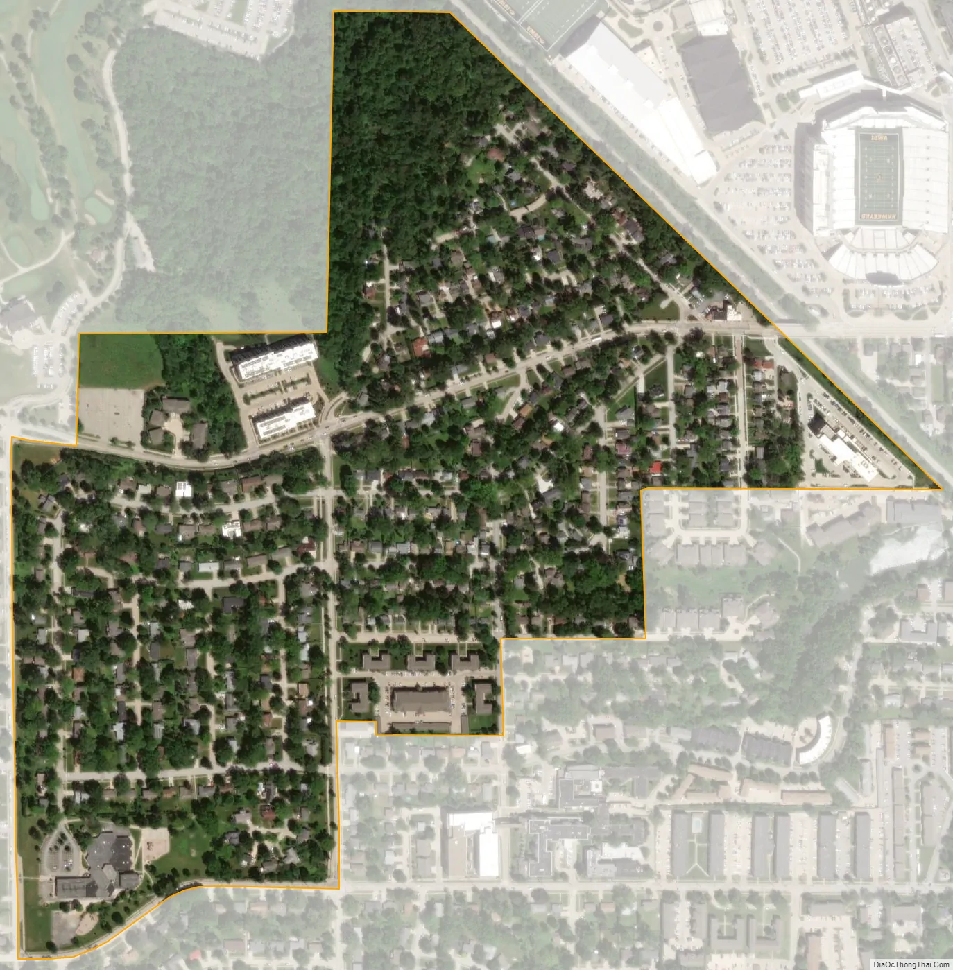
Geography
University Heights is located at 41°39′13″N 91°33′29″W / 41.65361°N 91.55806°W / 41.65361; -91.55806 (41.653666, -91.558167).
According to the United States Census Bureau, the city has a total area of 0.27 square miles (0.70 km), all land.
See also
Map of Iowa State and its subdivision:- Adair
- Adams
- Allamakee
- Appanoose
- Audubon
- Benton
- Black Hawk
- Boone
- Bremer
- Buchanan
- Buena Vista
- Butler
- Calhoun
- Carroll
- Cass
- Cedar
- Cerro Gordo
- Cherokee
- Chickasaw
- Clarke
- Clay
- Clayton
- Clinton
- Crawford
- Dallas
- Davis
- Decatur
- Delaware
- Des Moines
- Dickinson
- Dubuque
- Emmet
- Fayette
- Floyd
- Franklin
- Fremont
- Greene
- Grundy
- Guthrie
- Hamilton
- Hancock
- Hardin
- Harrison
- Henry
- Howard
- Humboldt
- Ida
- Iowa
- Jackson
- Jasper
- Jefferson
- Johnson
- Jones
- Keokuk
- Kossuth
- Lee
- Linn
- Louisa
- Lucas
- Lyon
- Madison
- Mahaska
- Marion
- Marshall
- Mills
- Mitchell
- Monona
- Monroe
- Montgomery
- Muscatine
- O'Brien
- Osceola
- Page
- Palo Alto
- Plymouth
- Pocahontas
- Polk
- Pottawattamie
- Poweshiek
- Ringgold
- Sac
- Scott
- Shelby
- Sioux
- Story
- Tama
- Taylor
- Union
- Van Buren
- Wapello
- Warren
- Washington
- Wayne
- Webster
- Winnebago
- Winneshiek
- Woodbury
- Worth
- Wright
- Alabama
- Alaska
- Arizona
- Arkansas
- California
- Colorado
- Connecticut
- Delaware
- District of Columbia
- Florida
- Georgia
- Hawaii
- Idaho
- Illinois
- Indiana
- Iowa
- Kansas
- Kentucky
- Louisiana
- Maine
- Maryland
- Massachusetts
- Michigan
- Minnesota
- Mississippi
- Missouri
- Montana
- Nebraska
- Nevada
- New Hampshire
- New Jersey
- New Mexico
- New York
- North Carolina
- North Dakota
- Ohio
- Oklahoma
- Oregon
- Pennsylvania
- Rhode Island
- South Carolina
- South Dakota
- Tennessee
- Texas
- Utah
- Vermont
- Virginia
- Washington
- West Virginia
- Wisconsin
- Wyoming