Washta is a city in Cherokee County, Iowa, United States. The population was 209 at the time of the 2020 census. It is called “The Coldest Spot in Iowa”, recording a temperature of −47 °F (−44 °C) without wind chill on January 12, 1912.
Washta’s name dates back to 1868 when a local man named Whisman turned his farm into a trading post/mail stop for the freight train going from Correctionville, Iowa, to Cherokee, Iowa. He was asked to be the official postmaster for the area. When asked what the name of his town would be, he recalled an interesting encounter with two Native Americans the year before: While Whisman was out hunting, the two came upon him, removed his gun, looked at it, and handed it back while saying, Wash-tay, Wash-tay, meaning “good”. Changing the pronunciation slightly, Whisman decided he would call the town Washta.
| Name: | Washta city |
|---|---|
| LSAD Code: | 25 |
| LSAD Description: | city (suffix) |
| State: | Iowa |
| County: | Cherokee County |
| Elevation: | 1,148 ft (350 m) |
| Total Area: | 1.01 sq mi (2.62 km²) |
| Land Area: | 1.01 sq mi (2.62 km²) |
| Water Area: | 0.00 sq mi (0.00 km²) |
| Total Population: | 209 |
| Population Density: | 206.93/sq mi (79.86/km²) |
| ZIP code: | 51061 |
| Area code: | 712 |
| FIPS code: | 1982380 |
| GNISfeature ID: | 0462723 |
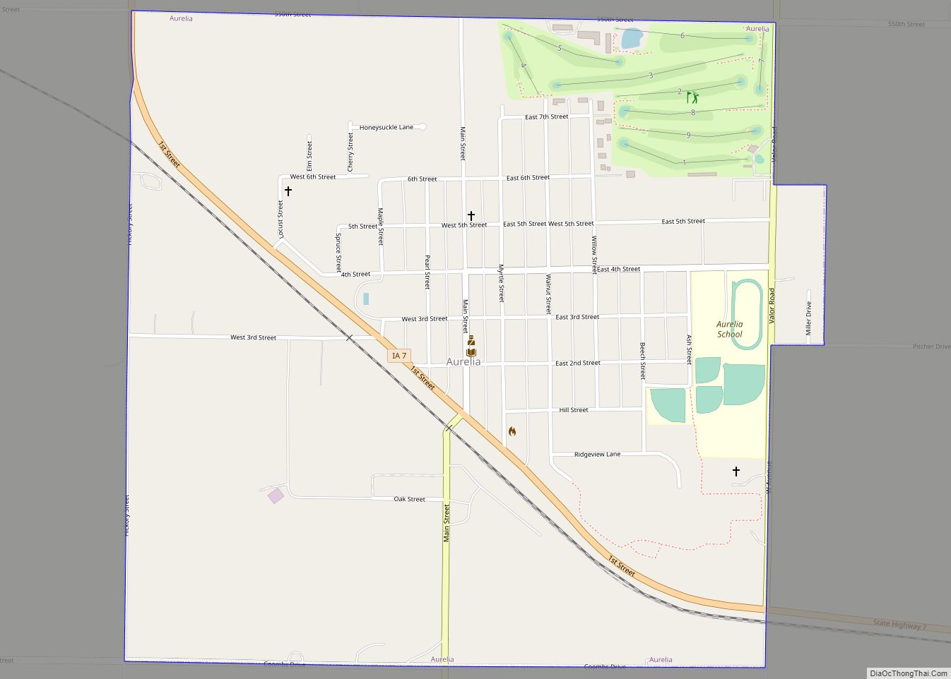
Online Interactive Map
Click on ![]() to view map in "full screen" mode.
to view map in "full screen" mode.
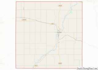
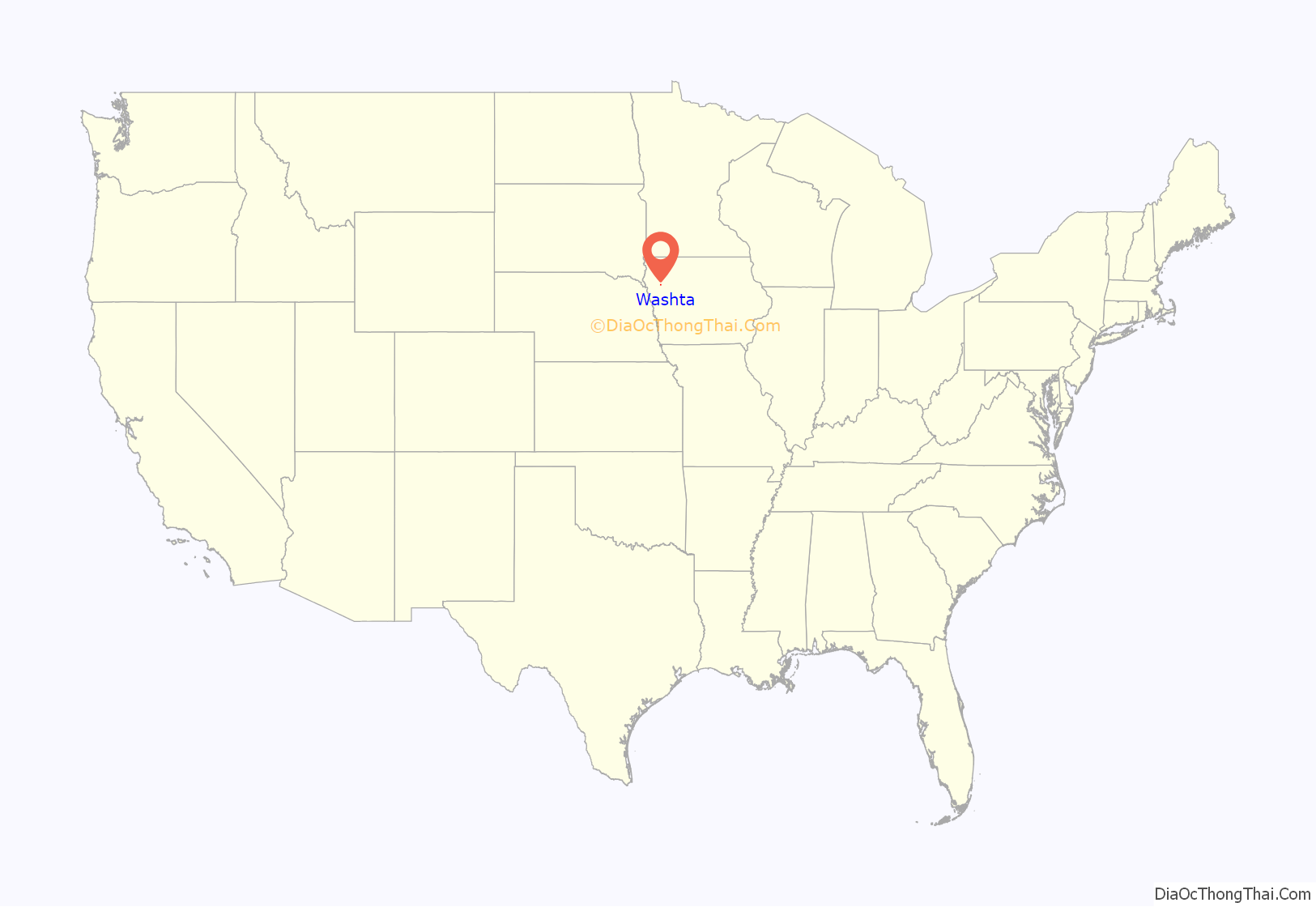
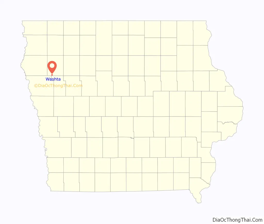
Washta location map. Where is Washta city?
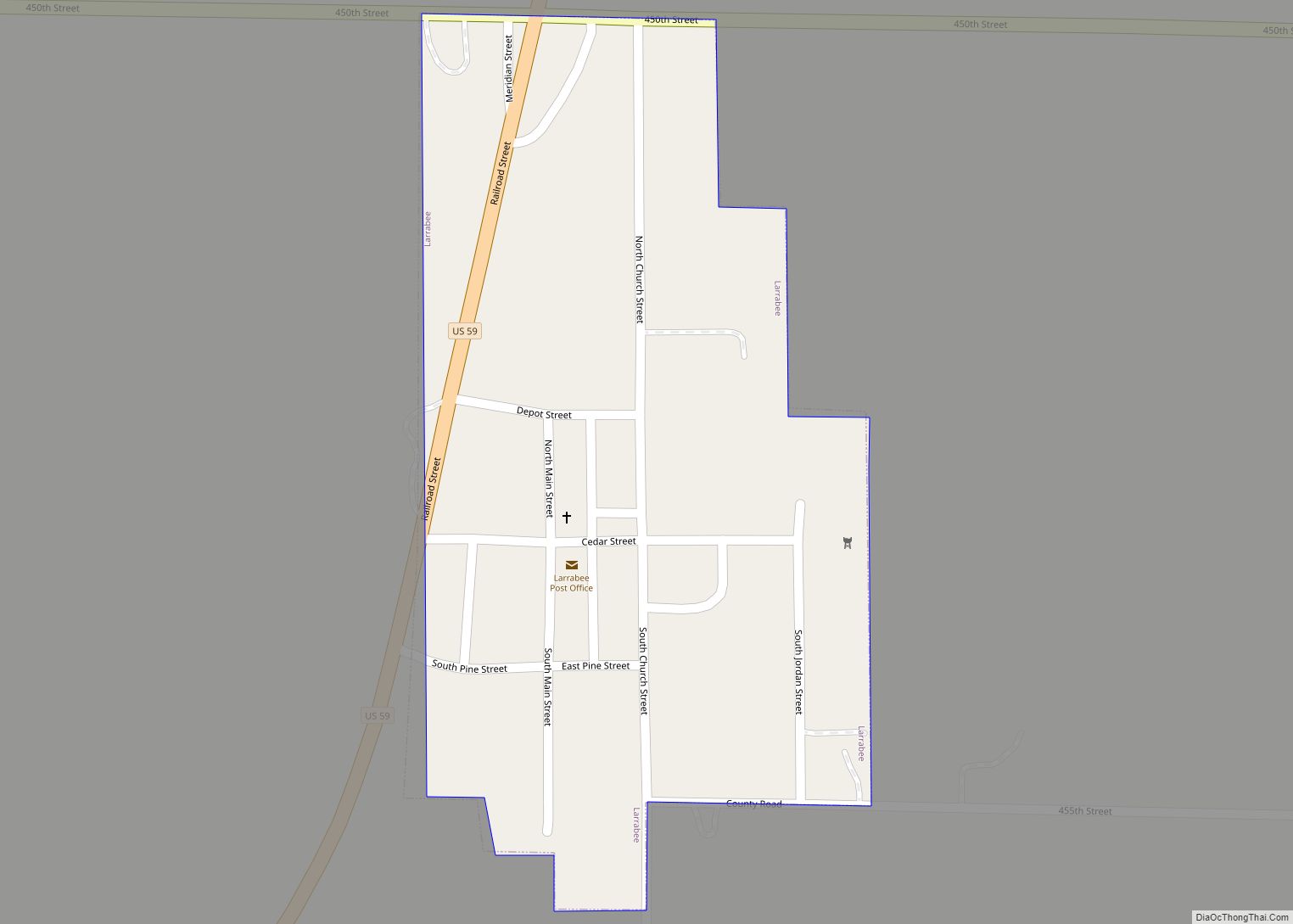
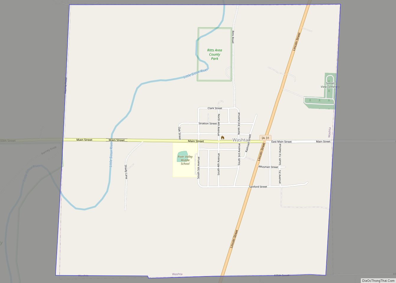
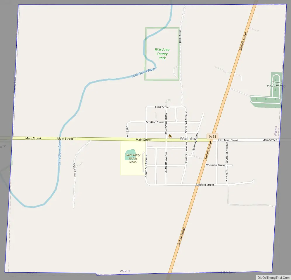
Washta Road Map
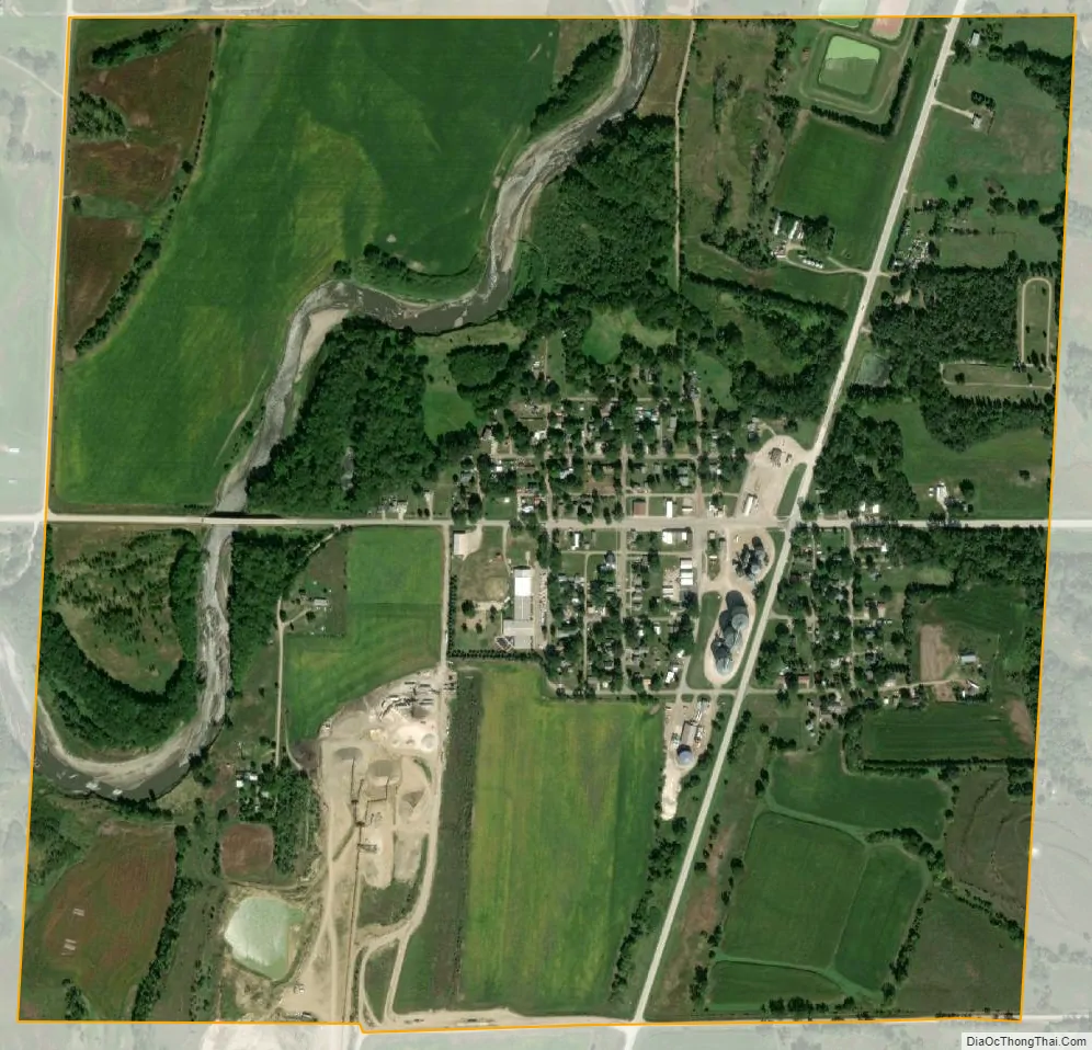
Washta city Satellite Map
Geography
Washta is located at 42°34′33″N 95°43′5″W / 42.57583°N 95.71806°W / 42.57583; -95.71806 (42.575896, -95.718051). It is situated near the Little Sioux River.
According to the United States Census Bureau, the city has a total area of 1.04 square miles (2.69 km), all land.
See also
Map of Iowa State and its subdivision:- Adair
- Adams
- Allamakee
- Appanoose
- Audubon
- Benton
- Black Hawk
- Boone
- Bremer
- Buchanan
- Buena Vista
- Butler
- Calhoun
- Carroll
- Cass
- Cedar
- Cerro Gordo
- Cherokee
- Chickasaw
- Clarke
- Clay
- Clayton
- Clinton
- Crawford
- Dallas
- Davis
- Decatur
- Delaware
- Des Moines
- Dickinson
- Dubuque
- Emmet
- Fayette
- Floyd
- Franklin
- Fremont
- Greene
- Grundy
- Guthrie
- Hamilton
- Hancock
- Hardin
- Harrison
- Henry
- Howard
- Humboldt
- Ida
- Iowa
- Jackson
- Jasper
- Jefferson
- Johnson
- Jones
- Keokuk
- Kossuth
- Lee
- Linn
- Louisa
- Lucas
- Lyon
- Madison
- Mahaska
- Marion
- Marshall
- Mills
- Mitchell
- Monona
- Monroe
- Montgomery
- Muscatine
- O'Brien
- Osceola
- Page
- Palo Alto
- Plymouth
- Pocahontas
- Polk
- Pottawattamie
- Poweshiek
- Ringgold
- Sac
- Scott
- Shelby
- Sioux
- Story
- Tama
- Taylor
- Union
- Van Buren
- Wapello
- Warren
- Washington
- Wayne
- Webster
- Winnebago
- Winneshiek
- Woodbury
- Worth
- Wright
- Alabama
- Alaska
- Arizona
- Arkansas
- California
- Colorado
- Connecticut
- Delaware
- District of Columbia
- Florida
- Georgia
- Hawaii
- Idaho
- Illinois
- Indiana
- Iowa
- Kansas
- Kentucky
- Louisiana
- Maine
- Maryland
- Massachusetts
- Michigan
- Minnesota
- Mississippi
- Missouri
- Montana
- Nebraska
- Nevada
- New Hampshire
- New Jersey
- New Mexico
- New York
- North Carolina
- North Dakota
- Ohio
- Oklahoma
- Oregon
- Pennsylvania
- Rhode Island
- South Carolina
- South Dakota
- Tennessee
- Texas
- Utah
- Vermont
- Virginia
- Washington
- West Virginia
- Wisconsin
- Wyoming