Waterville is a city in Paint Creek Township, Allamakee County, Iowa, United States. The population was 109 at the time of the 2020 census.
| Name: | Waterville city |
|---|---|
| LSAD Code: | 25 |
| LSAD Description: | city (suffix) |
| State: | Iowa |
| County: | Allamakee County |
| Elevation: | 883 ft (269 m) |
| Total Area: | 0.35 sq mi (0.91 km²) |
| Land Area: | 0.35 sq mi (0.91 km²) |
| Water Area: | 0.00 sq mi (0.00 km²) |
| Total Population: | 109 |
| Population Density: | 310.54/sq mi (120.02/km²) |
| ZIP code: | 52170 |
| Area code: | 563 |
| FIPS code: | 1982470 |
| GNISfeature ID: | 0462734 |
| Website: | www.watervilleiowa.com |
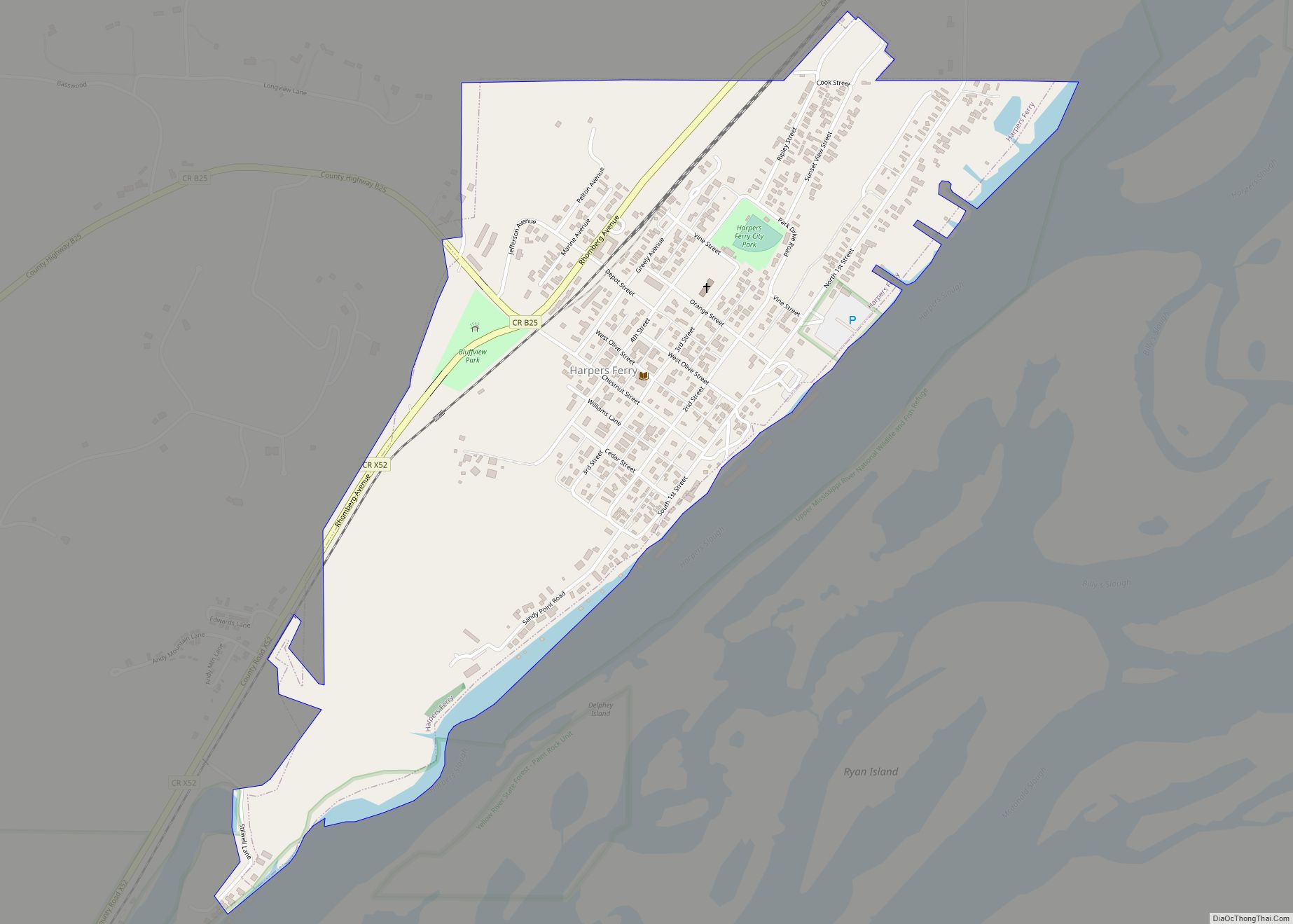
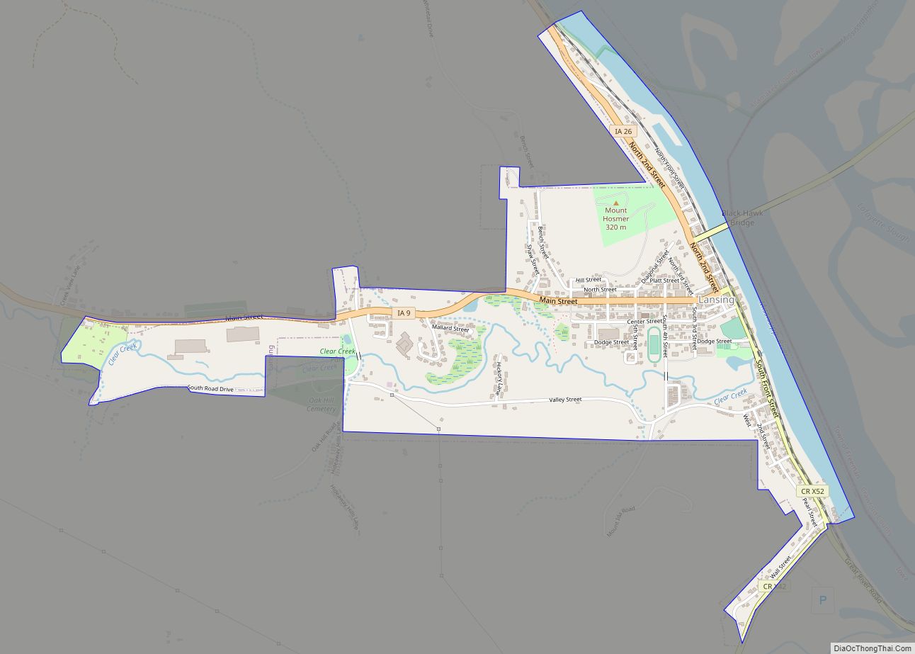
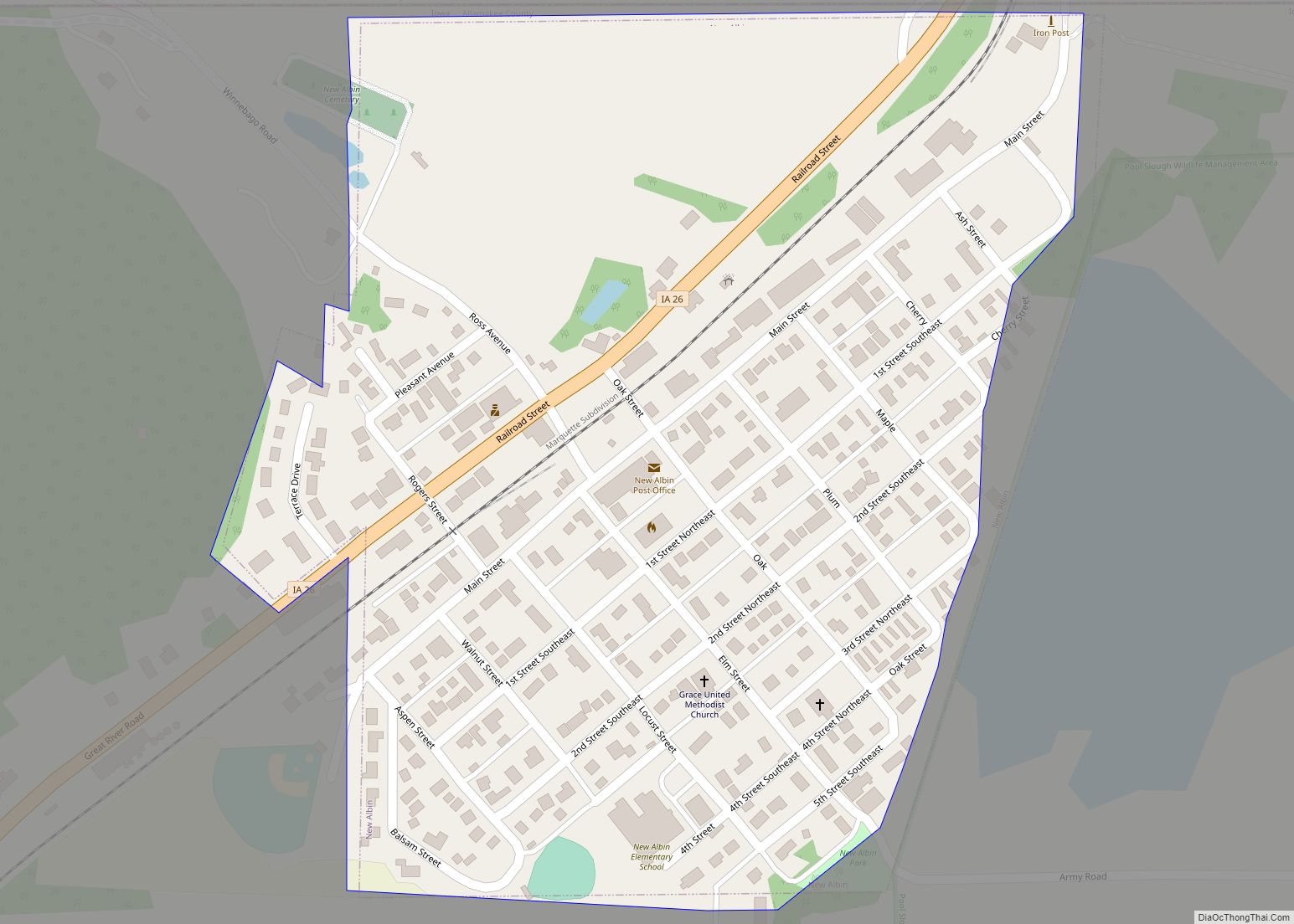
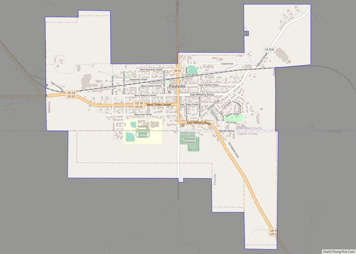
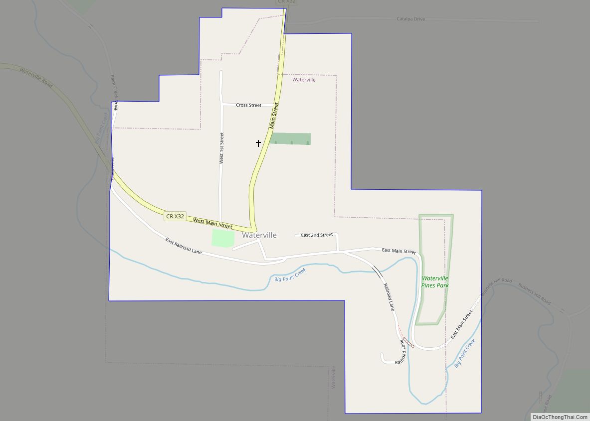
Online Interactive Map
Click on ![]() to view map in "full screen" mode.
to view map in "full screen" mode.
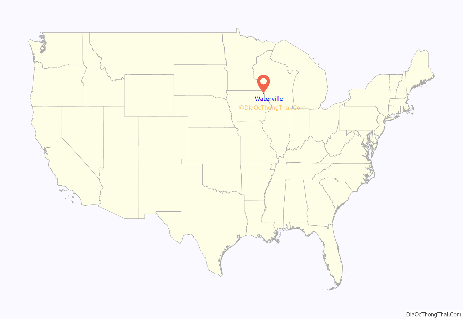
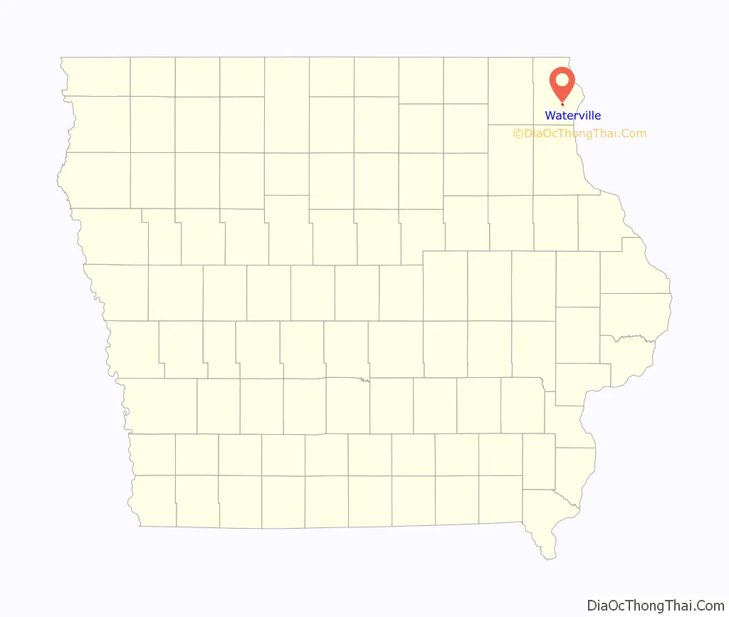
Waterville location map. Where is Waterville city?
History
The first settlement in the neighborhood of what would become Waterville was in 1850. In 1854, Nathaniel Beebe erected the Waterville Mill. In 1855, Col. J. Spooner opened a store, and in 1856, James Beebe built a hotel. The Waukon and Mississippi Railroad was completed through town in 1877, at which point, Waterville became the only station between Waukon and Waukon Junction.
Waterville was incorporated as a city in 1912.
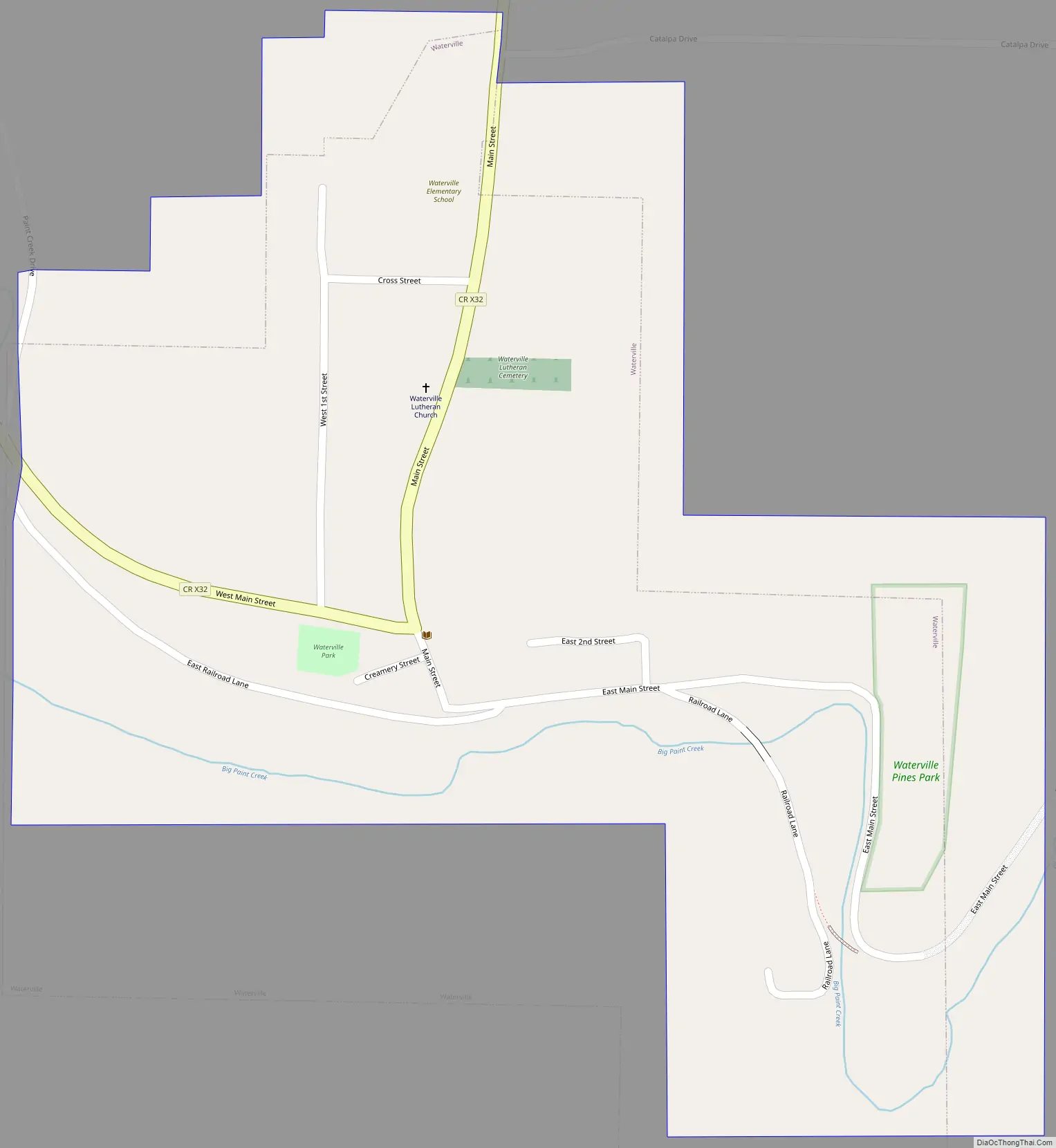
Waterville Road Map
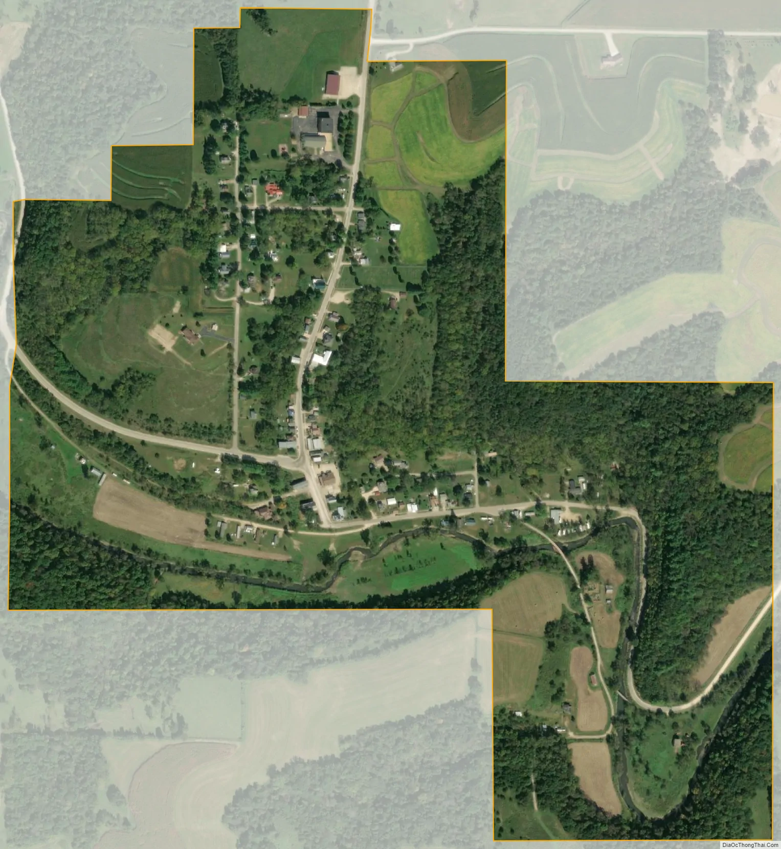
Waterville city Satellite Map
Geography
Waterville is located at 43°12′29″N 91°17′42″W / 43.20806°N 91.29500°W / 43.20806; -91.29500 (43.208051, -91.294965). The village is 14 miles from Waukon and 9 miles from the Mississippi River, on the north bank of Paint Creek. At Waterville, the Paint Creek canyon is 150 feet deep, bounded by almost vertical cliffs of Oneota Dolomite.
According to the United States Census Bureau, the city has a total area of 0.43 square miles (1.11 km), all land.
See also
Map of Iowa State and its subdivision:- Adair
- Adams
- Allamakee
- Appanoose
- Audubon
- Benton
- Black Hawk
- Boone
- Bremer
- Buchanan
- Buena Vista
- Butler
- Calhoun
- Carroll
- Cass
- Cedar
- Cerro Gordo
- Cherokee
- Chickasaw
- Clarke
- Clay
- Clayton
- Clinton
- Crawford
- Dallas
- Davis
- Decatur
- Delaware
- Des Moines
- Dickinson
- Dubuque
- Emmet
- Fayette
- Floyd
- Franklin
- Fremont
- Greene
- Grundy
- Guthrie
- Hamilton
- Hancock
- Hardin
- Harrison
- Henry
- Howard
- Humboldt
- Ida
- Iowa
- Jackson
- Jasper
- Jefferson
- Johnson
- Jones
- Keokuk
- Kossuth
- Lee
- Linn
- Louisa
- Lucas
- Lyon
- Madison
- Mahaska
- Marion
- Marshall
- Mills
- Mitchell
- Monona
- Monroe
- Montgomery
- Muscatine
- O'Brien
- Osceola
- Page
- Palo Alto
- Plymouth
- Pocahontas
- Polk
- Pottawattamie
- Poweshiek
- Ringgold
- Sac
- Scott
- Shelby
- Sioux
- Story
- Tama
- Taylor
- Union
- Van Buren
- Wapello
- Warren
- Washington
- Wayne
- Webster
- Winnebago
- Winneshiek
- Woodbury
- Worth
- Wright
- Alabama
- Alaska
- Arizona
- Arkansas
- California
- Colorado
- Connecticut
- Delaware
- District of Columbia
- Florida
- Georgia
- Hawaii
- Idaho
- Illinois
- Indiana
- Iowa
- Kansas
- Kentucky
- Louisiana
- Maine
- Maryland
- Massachusetts
- Michigan
- Minnesota
- Mississippi
- Missouri
- Montana
- Nebraska
- Nevada
- New Hampshire
- New Jersey
- New Mexico
- New York
- North Carolina
- North Dakota
- Ohio
- Oklahoma
- Oregon
- Pennsylvania
- Rhode Island
- South Carolina
- South Dakota
- Tennessee
- Texas
- Utah
- Vermont
- Virginia
- Washington
- West Virginia
- Wisconsin
- Wyoming