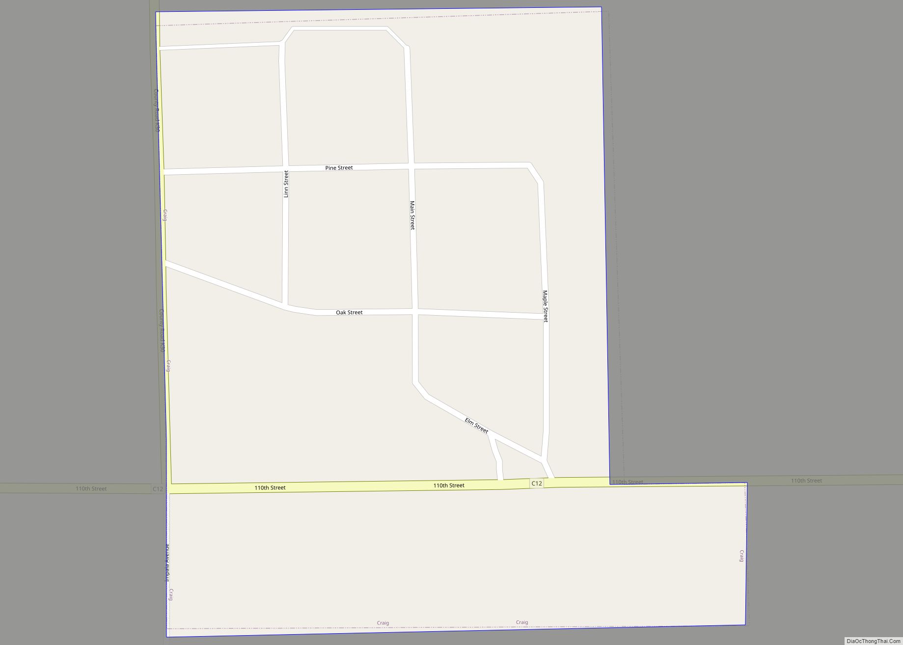
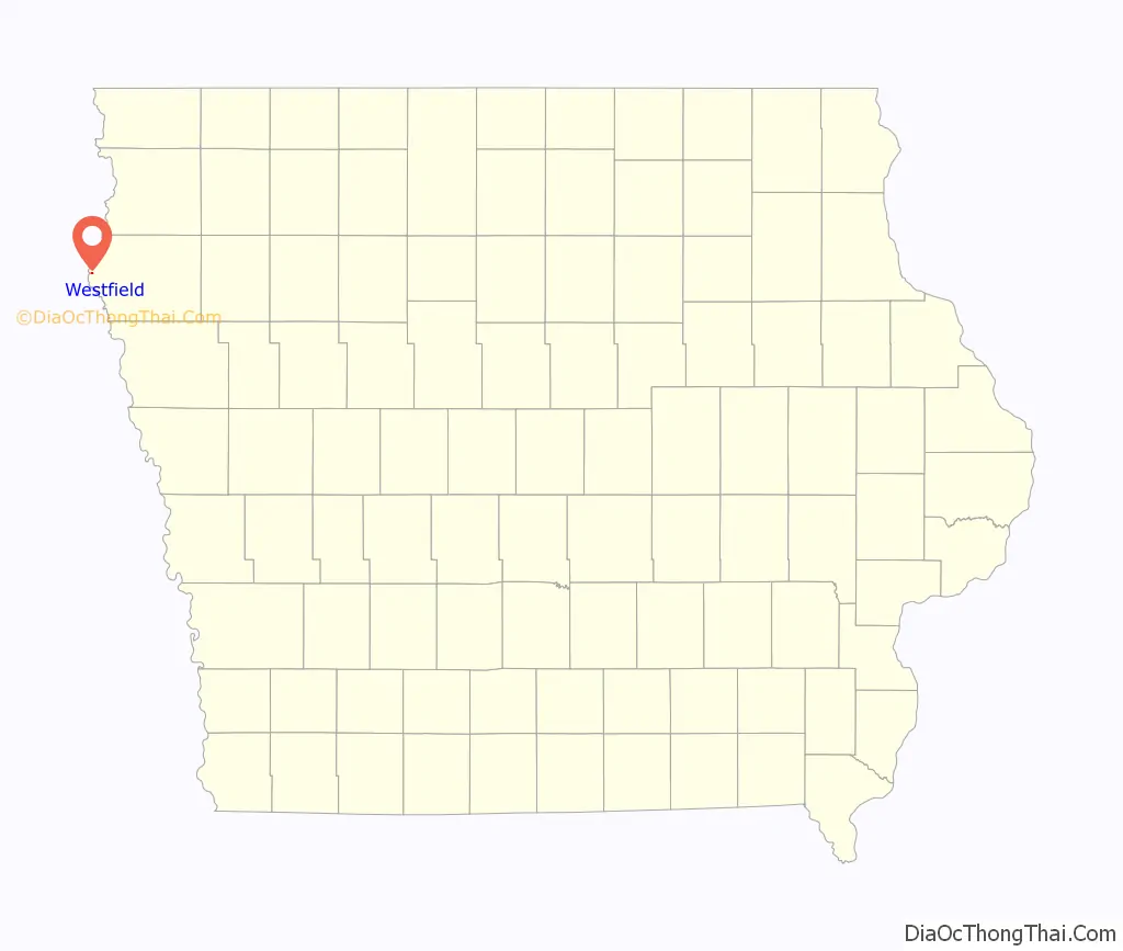
Westfield is a city in Plymouth County, Iowa, United States. The population was 123 at the time of the 2020 census. It is the westernmost point in Iowa, this being due to a bend in the Big Sioux River. The nearby Broken Kettle wildlife refuge is one of the few places in Iowa where prairie rattlesnakes are commonly found.
Westfield is the purported home town of the central character, Jack Smurch, in James Thurber’s 1931 short story “The Greatest Man in the World.” In the story, the fictional Smurch flies a second-hand, single-motored monoplane in July 1937 all the way around the world, without stopping.
| Name: | Westfield city |
|---|---|
| LSAD Code: | 25 |
| LSAD Description: | city (suffix) |
| State: | Iowa |
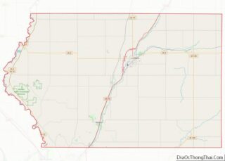
| County: | Plymouth County |
| Elevation: | 1,132 ft (345 m) |
| Total Area: | 0.13 sq mi (0.34 km²) |
| Land Area: | 0.13 sq mi (0.34 km²) |
| Water Area: | 0.00 sq mi (0.00 km²) |
| Total Population: | 123 |
| Population Density: | 931.82/sq mi (358.90/km²) |
| ZIP code: | 51062 |
| Area code: | 712 |
| FIPS code: | 1984090 |
| GNISfeature ID: | 0462935 |
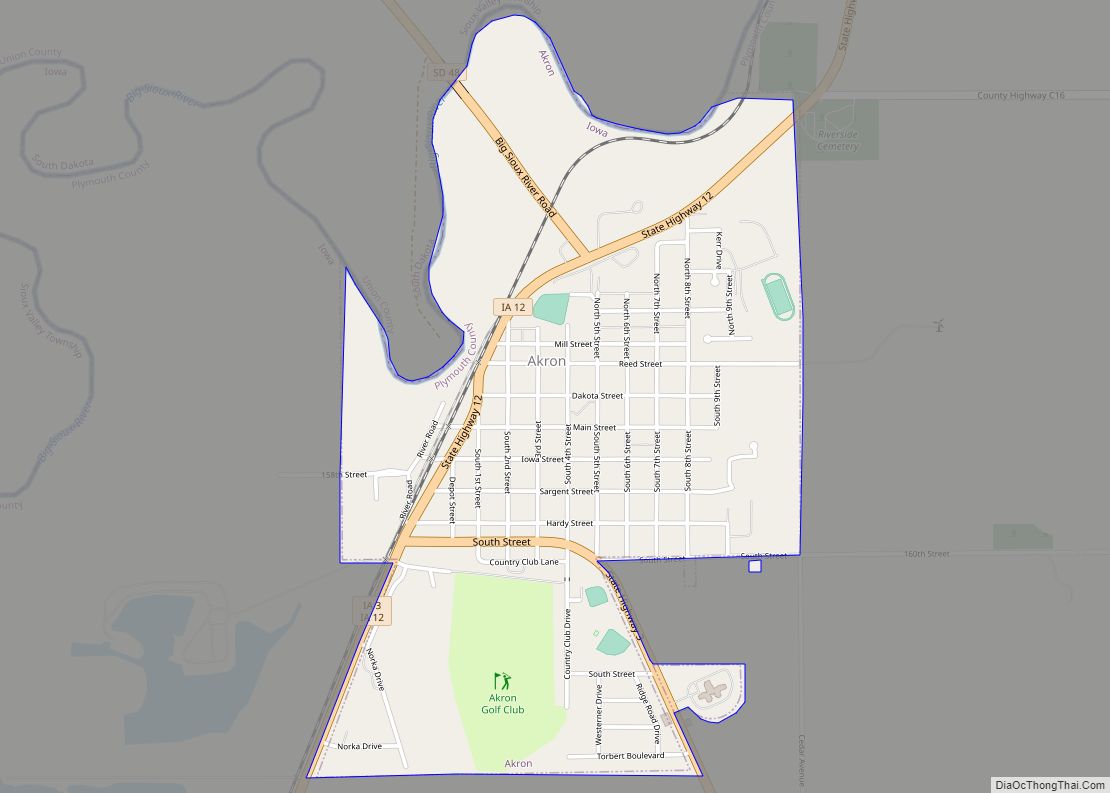
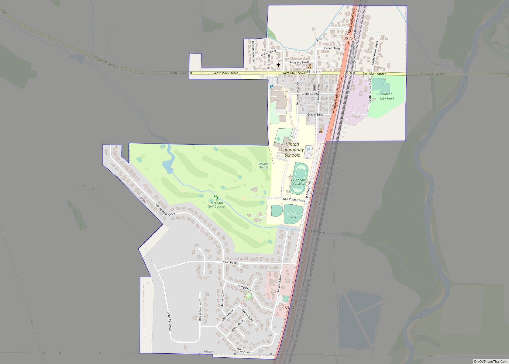
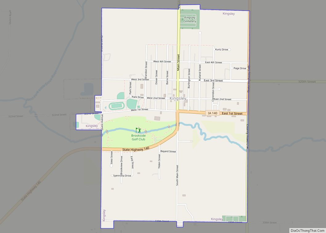
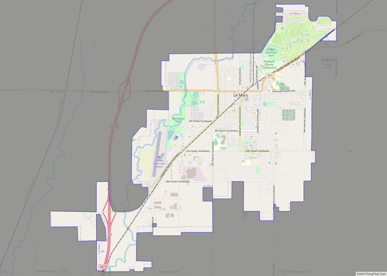
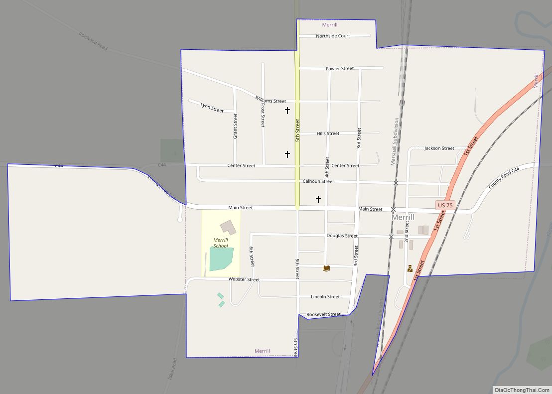
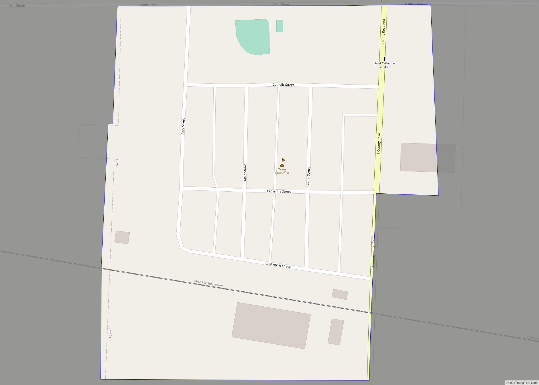
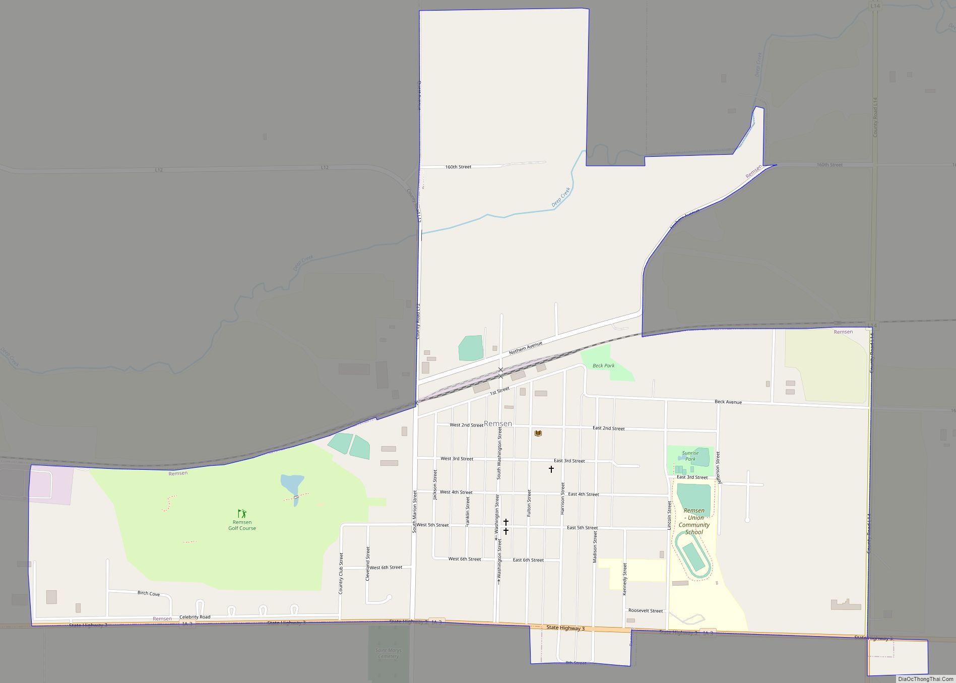
Online Interactive Map
Click on ![]() to view map in "full screen" mode.
to view map in "full screen" mode.
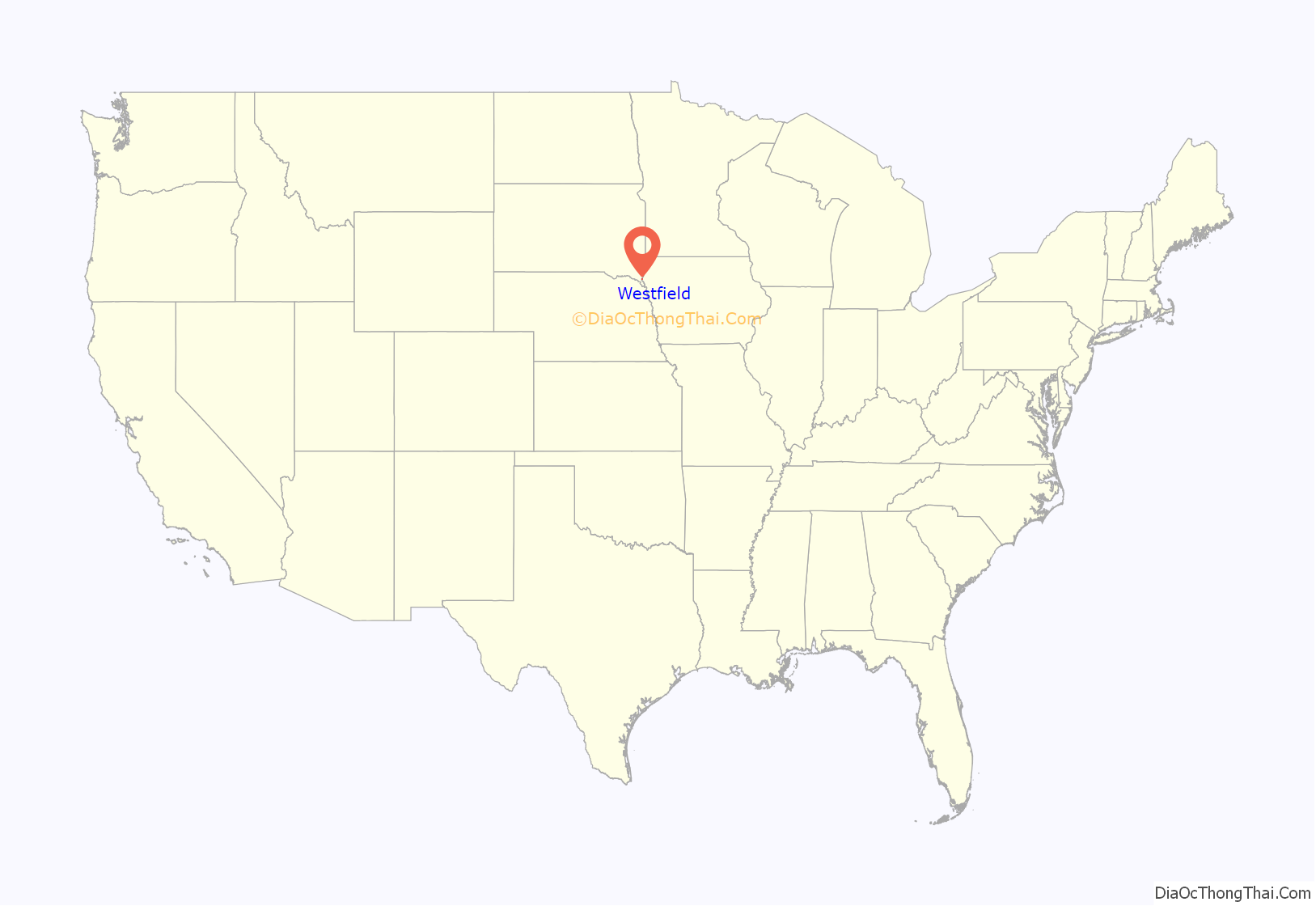
Westfield location map. Where is Westfield city?
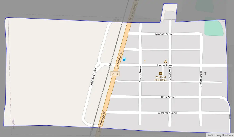
Westfield Road Map
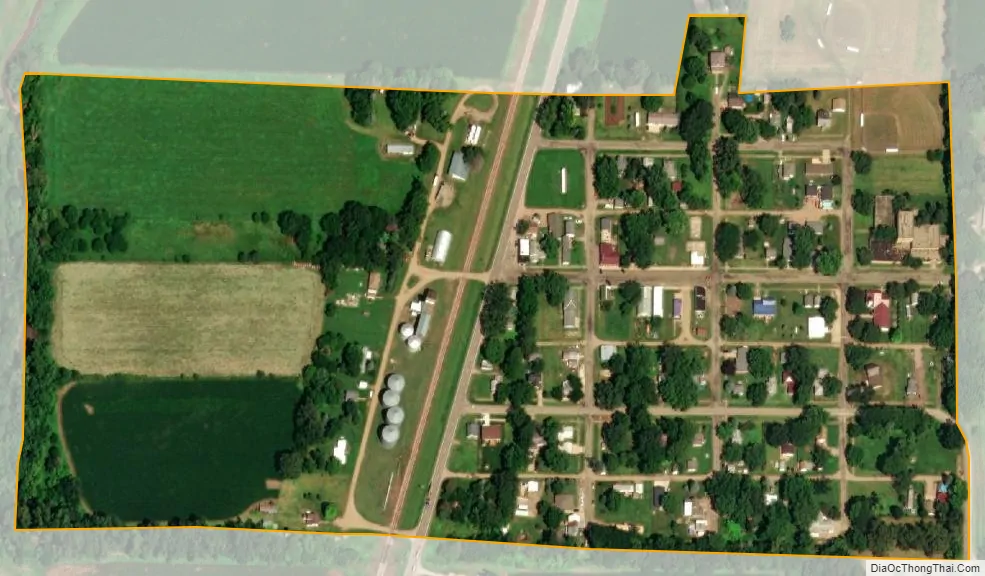
Westfield city Satellite Map
Geography
Westfield is located at 42°45′21″N 96°36′15″W / 42.75583°N 96.60417°W / 42.75583; -96.60417 (42.755884, -96.604050).
According to the United States Census Bureau, the city has a total area of 0.13 square miles (0.34 km), all land.
See also
Map of Iowa State and its subdivision:- Adair
- Adams
- Allamakee
- Appanoose
- Audubon
- Benton
- Black Hawk
- Boone
- Bremer
- Buchanan
- Buena Vista
- Butler
- Calhoun
- Carroll
- Cass
- Cedar
- Cerro Gordo
- Cherokee
- Chickasaw
- Clarke
- Clay
- Clayton
- Clinton
- Crawford
- Dallas
- Davis
- Decatur
- Delaware
- Des Moines
- Dickinson
- Dubuque
- Emmet
- Fayette
- Floyd
- Franklin
- Fremont
- Greene
- Grundy
- Guthrie
- Hamilton
- Hancock
- Hardin
- Harrison
- Henry
- Howard
- Humboldt
- Ida
- Iowa
- Jackson
- Jasper
- Jefferson
- Johnson
- Jones
- Keokuk
- Kossuth
- Lee
- Linn
- Louisa
- Lucas
- Lyon
- Madison
- Mahaska
- Marion
- Marshall
- Mills
- Mitchell
- Monona
- Monroe
- Montgomery
- Muscatine
- O'Brien
- Osceola
- Page
- Palo Alto
- Plymouth
- Pocahontas
- Polk
- Pottawattamie
- Poweshiek
- Ringgold
- Sac
- Scott
- Shelby
- Sioux
- Story
- Tama
- Taylor
- Union
- Van Buren
- Wapello
- Warren
- Washington
- Wayne
- Webster
- Winnebago
- Winneshiek
- Woodbury
- Worth
- Wright
- Alabama
- Alaska
- Arizona
- Arkansas
- California
- Colorado
- Connecticut
- Delaware
- District of Columbia
- Florida
- Georgia
- Hawaii
- Idaho
- Illinois
- Indiana
- Iowa
- Kansas
- Kentucky
- Louisiana
- Maine
- Maryland
- Massachusetts
- Michigan
- Minnesota
- Mississippi
- Missouri
- Montana
- Nebraska
- Nevada
- New Hampshire
- New Jersey
- New Mexico
- New York
- North Carolina
- North Dakota
- Ohio
- Oklahoma
- Oregon
- Pennsylvania
- Rhode Island
- South Carolina
- South Dakota
- Tennessee
- Texas
- Utah
- Vermont
- Virginia
- Washington
- West Virginia
- Wisconsin
- Wyoming