Wilton (formerly Wilton Junction) is a city in Cedar and Muscatine counties in the U.S. state of Iowa. The population was 2,924 at the time of the 2020 census. The Muscatine County portion of Wilton is part of the Muscatine Micropolitan Statistical Area.
| Name: | Wilton city |
|---|---|
| LSAD Code: | 25 |
| LSAD Description: | city (suffix) |
| State: | Iowa |
| County: | Cedar County, Muscatine County |
| Founded: | 1855 |
| Elevation: | 679 ft (207 m) |
| Total Area: | 2.06 sq mi (5.33 km²) |
| Land Area: | 2.06 sq mi (5.32 km²) |
| Water Area: | 0.00 sq mi (0.01 km²) |
| Total Population: | 2,924 |
| Population Density: | 1,422.87/sq mi (549.49/km²) |
| ZIP code: | 52778 |
| Area code: | 563 |
| FIPS code: | 1986070 |
| GNISfeature ID: | 0465185 |
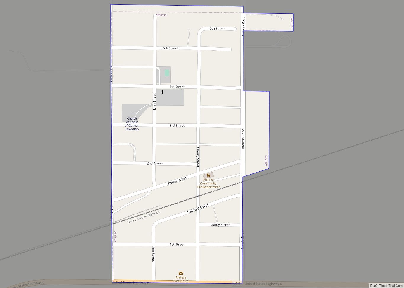
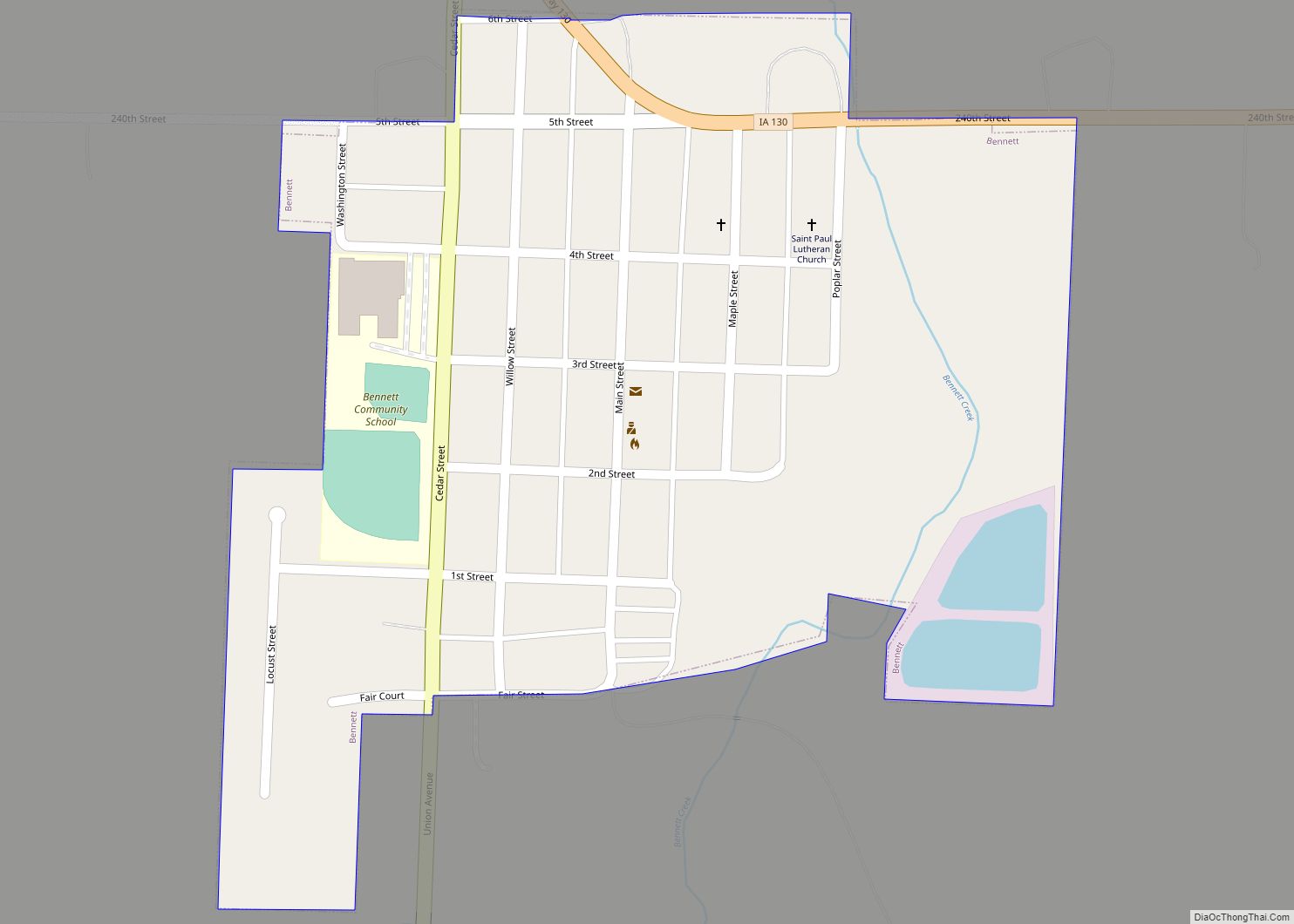
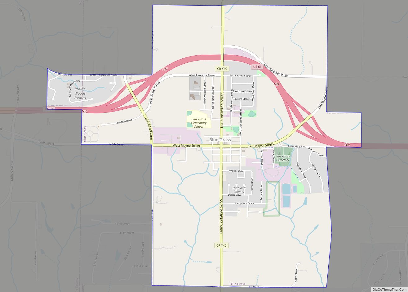
Online Interactive Map
Click on ![]() to view map in "full screen" mode.
to view map in "full screen" mode.
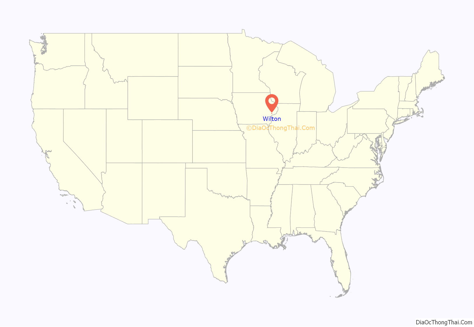
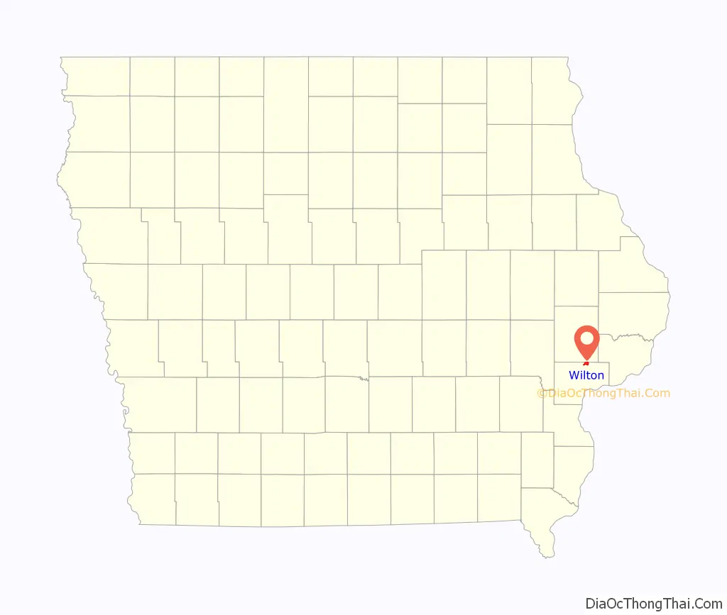
Wilton location map. Where is Wilton city?
History
The first settler to build a home in the area that was to be known as Wilton in the new state of Iowa (1846) was Mr. Christian Marolf who came in July 1849, and erected of a small log house opposite the German Lutheran church. When he built his home Mr. Marolf could only see one the home of Mr. Stearns just west of town on the south side of the Moscow road. Mr. Marolf was soon followed by Mr. Ben Maurer in 1850 whose land now comprises North Wilton and Peter Marolf in 1851, which is now known as Marolf’s addition. North Wilton is at present (1947) not within the corporate limits of Wilton. The city was once home to the Wilton German English College from 1894 to 1905. The campus of the college was later turned into City Park, and some of the college’s buildings remain to this day.
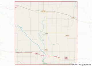
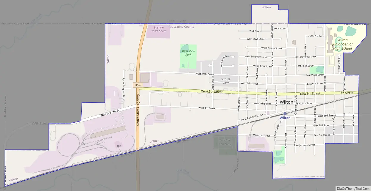
Wilton Road Map
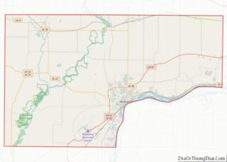
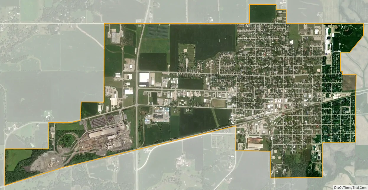
Wilton city Satellite Map
Geography
Wilton is at 41°35′22″N 91°1′3″W / 41.58944°N 91.01750°W / 41.58944; -91.01750 (41.589350, -91.017487).
According to the United States Census Bureau, the city has a total area of 1.95 square miles (5.05 km), all land. The city sits at an elevation of 679 feet.
See also
Map of Iowa State and its subdivision:- Adair
- Adams
- Allamakee
- Appanoose
- Audubon
- Benton
- Black Hawk
- Boone
- Bremer
- Buchanan
- Buena Vista
- Butler
- Calhoun
- Carroll
- Cass
- Cedar
- Cerro Gordo
- Cherokee
- Chickasaw
- Clarke
- Clay
- Clayton
- Clinton
- Crawford
- Dallas
- Davis
- Decatur
- Delaware
- Des Moines
- Dickinson
- Dubuque
- Emmet
- Fayette
- Floyd
- Franklin
- Fremont
- Greene
- Grundy
- Guthrie
- Hamilton
- Hancock
- Hardin
- Harrison
- Henry
- Howard
- Humboldt
- Ida
- Iowa
- Jackson
- Jasper
- Jefferson
- Johnson
- Jones
- Keokuk
- Kossuth
- Lee
- Linn
- Louisa
- Lucas
- Lyon
- Madison
- Mahaska
- Marion
- Marshall
- Mills
- Mitchell
- Monona
- Monroe
- Montgomery
- Muscatine
- O'Brien
- Osceola
- Page
- Palo Alto
- Plymouth
- Pocahontas
- Polk
- Pottawattamie
- Poweshiek
- Ringgold
- Sac
- Scott
- Shelby
- Sioux
- Story
- Tama
- Taylor
- Union
- Van Buren
- Wapello
- Warren
- Washington
- Wayne
- Webster
- Winnebago
- Winneshiek
- Woodbury
- Worth
- Wright
- Alabama
- Alaska
- Arizona
- Arkansas
- California
- Colorado
- Connecticut
- Delaware
- District of Columbia
- Florida
- Georgia
- Hawaii
- Idaho
- Illinois
- Indiana
- Iowa
- Kansas
- Kentucky
- Louisiana
- Maine
- Maryland
- Massachusetts
- Michigan
- Minnesota
- Mississippi
- Missouri
- Montana
- Nebraska
- Nevada
- New Hampshire
- New Jersey
- New Mexico
- New York
- North Carolina
- North Dakota
- Ohio
- Oklahoma
- Oregon
- Pennsylvania
- Rhode Island
- South Carolina
- South Dakota
- Tennessee
- Texas
- Utah
- Vermont
- Virginia
- Washington
- West Virginia
- Wisconsin
- Wyoming