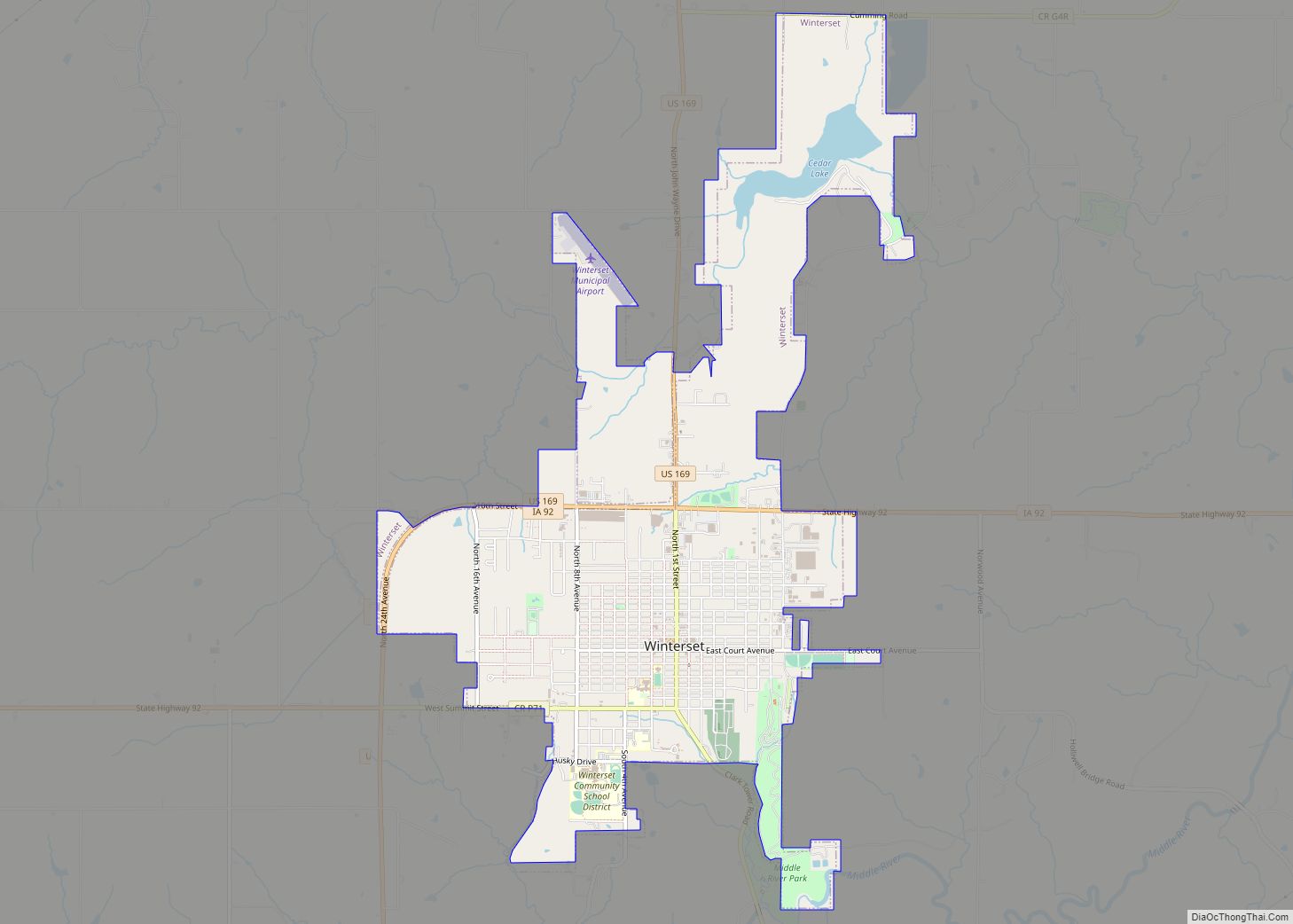
Winterset is a city in and the county seat of Madison County, Iowa. The population was 5,353 at the time of the 2020 census.
Winterset is part of the Des Moines metropolitan area. It is the birthplace of actor John Wayne.
| Name: | Winterset city |
|---|---|
| LSAD Code: | 25 |
| LSAD Description: | city (suffix) |
| State: | Iowa |
| County: | Madison County |
| Elevation: | 1,080 ft (330 m) |
| Total Area: | 4.78 sq mi (12.38 km²) |
| Land Area: | 4.64 sq mi (12.02 km²) |
| Water Area: | 0.14 sq mi (0.36 km²) |
| Total Population: | 5,353 |
| Population Density: | 1,153.17/sq mi (445.20/km²) |
| ZIP code: | 50273 |
| Area code: | 515 |
| FIPS code: | 1986520 |
| GNISfeature ID: | 0463138 |
| Website: | cityofwinterset.org |
Online Interactive Map
Click on ![]() to view map in "full screen" mode.
to view map in "full screen" mode.
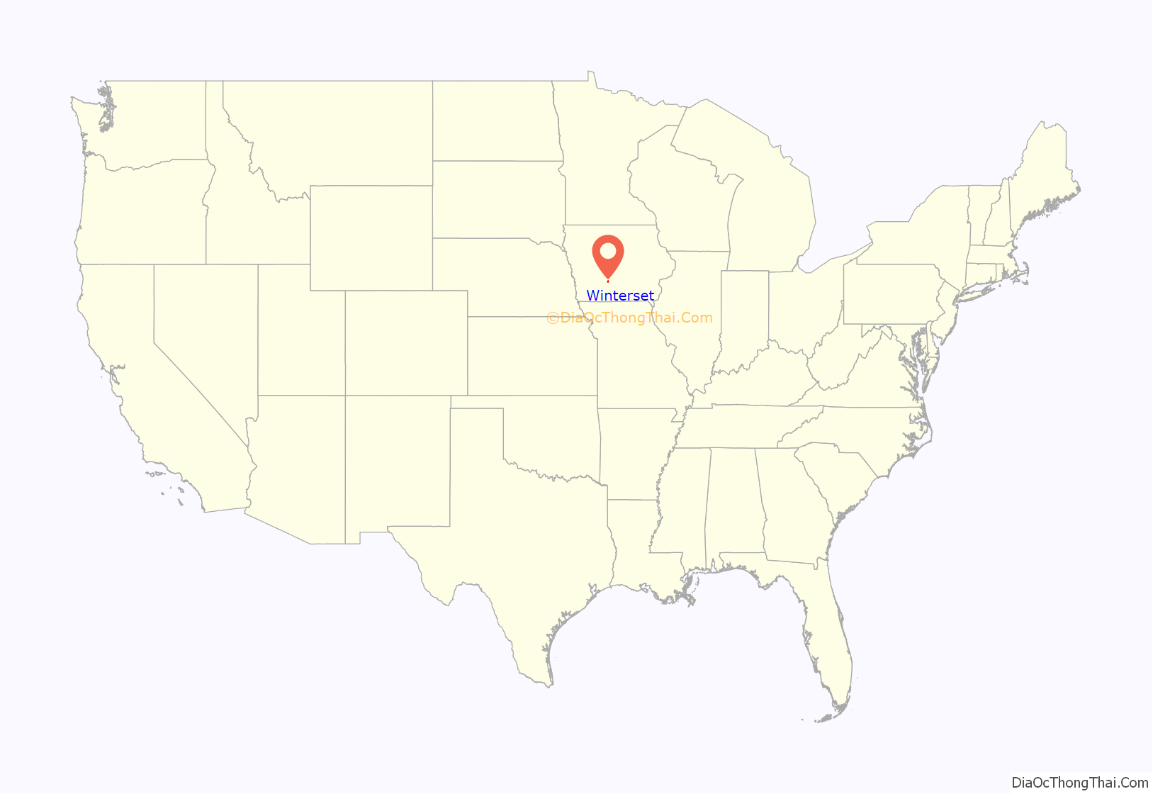
Winterset location map. Where is Winterset city?
History
Winterset was platted during a cool spell in the summer of 1849. The name was originally to be “Summerset”, but the unseasonable coldness made the commissioners reverse this to “Winterset”.
On March 5, 2022, a low-end EF4 tornado struck the areas just outside the city, killing six people.
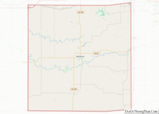
Winterset Road Map
Winterset city Satellite Map
Geography
Winterset is located in central Madison County at the intersection of US Route 169 and Iowa State Highway 92. Middle River flows past the south side of the city. It is approximately 30 miles southwest of the state capital of Des Moines.
According to the United States Census Bureau, the city has a total area of 4.72 square miles (12.22 km), of which, 4.58 square miles (11.86 km) is land and 0.14 square miles (0.36 km) is water.
See also
Map of Iowa State and its subdivision:- Adair
- Adams
- Allamakee
- Appanoose
- Audubon
- Benton
- Black Hawk
- Boone
- Bremer
- Buchanan
- Buena Vista
- Butler
- Calhoun
- Carroll
- Cass
- Cedar
- Cerro Gordo
- Cherokee
- Chickasaw
- Clarke
- Clay
- Clayton
- Clinton
- Crawford
- Dallas
- Davis
- Decatur
- Delaware
- Des Moines
- Dickinson
- Dubuque
- Emmet
- Fayette
- Floyd
- Franklin
- Fremont
- Greene
- Grundy
- Guthrie
- Hamilton
- Hancock
- Hardin
- Harrison
- Henry
- Howard
- Humboldt
- Ida
- Iowa
- Jackson
- Jasper
- Jefferson
- Johnson
- Jones
- Keokuk
- Kossuth
- Lee
- Linn
- Louisa
- Lucas
- Lyon
- Madison
- Mahaska
- Marion
- Marshall
- Mills
- Mitchell
- Monona
- Monroe
- Montgomery
- Muscatine
- O'Brien
- Osceola
- Page
- Palo Alto
- Plymouth
- Pocahontas
- Polk
- Pottawattamie
- Poweshiek
- Ringgold
- Sac
- Scott
- Shelby
- Sioux
- Story
- Tama
- Taylor
- Union
- Van Buren
- Wapello
- Warren
- Washington
- Wayne
- Webster
- Winnebago
- Winneshiek
- Woodbury
- Worth
- Wright
- Alabama
- Alaska
- Arizona
- Arkansas
- California
- Colorado
- Connecticut
- Delaware
- District of Columbia
- Florida
- Georgia
- Hawaii
- Idaho
- Illinois
- Indiana
- Iowa
- Kansas
- Kentucky
- Louisiana
- Maine
- Maryland
- Massachusetts
- Michigan
- Minnesota
- Mississippi
- Missouri
- Montana
- Nebraska
- Nevada
- New Hampshire
- New Jersey
- New Mexico
- New York
- North Carolina
- North Dakota
- Ohio
- Oklahoma
- Oregon
- Pennsylvania
- Rhode Island
- South Carolina
- South Dakota
- Tennessee
- Texas
- Utah
- Vermont
- Virginia
- Washington
- West Virginia
- Wisconsin
- Wyoming
