Dorrance is a city in Russell County, Kansas, United States. As of the 2020 census, the population of the city was 146.
| Name: | Dorrance city |
|---|---|
| LSAD Code: | 25 |
| LSAD Description: | city (suffix) |
| State: | Kansas |
| County: | Russell County |
| Founded: | 1860s |
| Incorporated: | 1910 |
| Elevation: | 1,732 ft (528 m) |
| Total Area: | 0.34 sq mi (0.88 km²) |
| Land Area: | 0.34 sq mi (0.88 km²) |
| Water Area: | 0.00 sq mi (0.00 km²) |
| Total Population: | 146 |
| Population Density: | 430/sq mi (170/km²) |
| ZIP code: | 67634 |
| Area code: | 785 |
| FIPS code: | 2018325 |
Online Interactive Map
Click on ![]() to view map in "full screen" mode.
to view map in "full screen" mode.
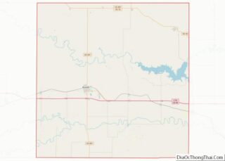
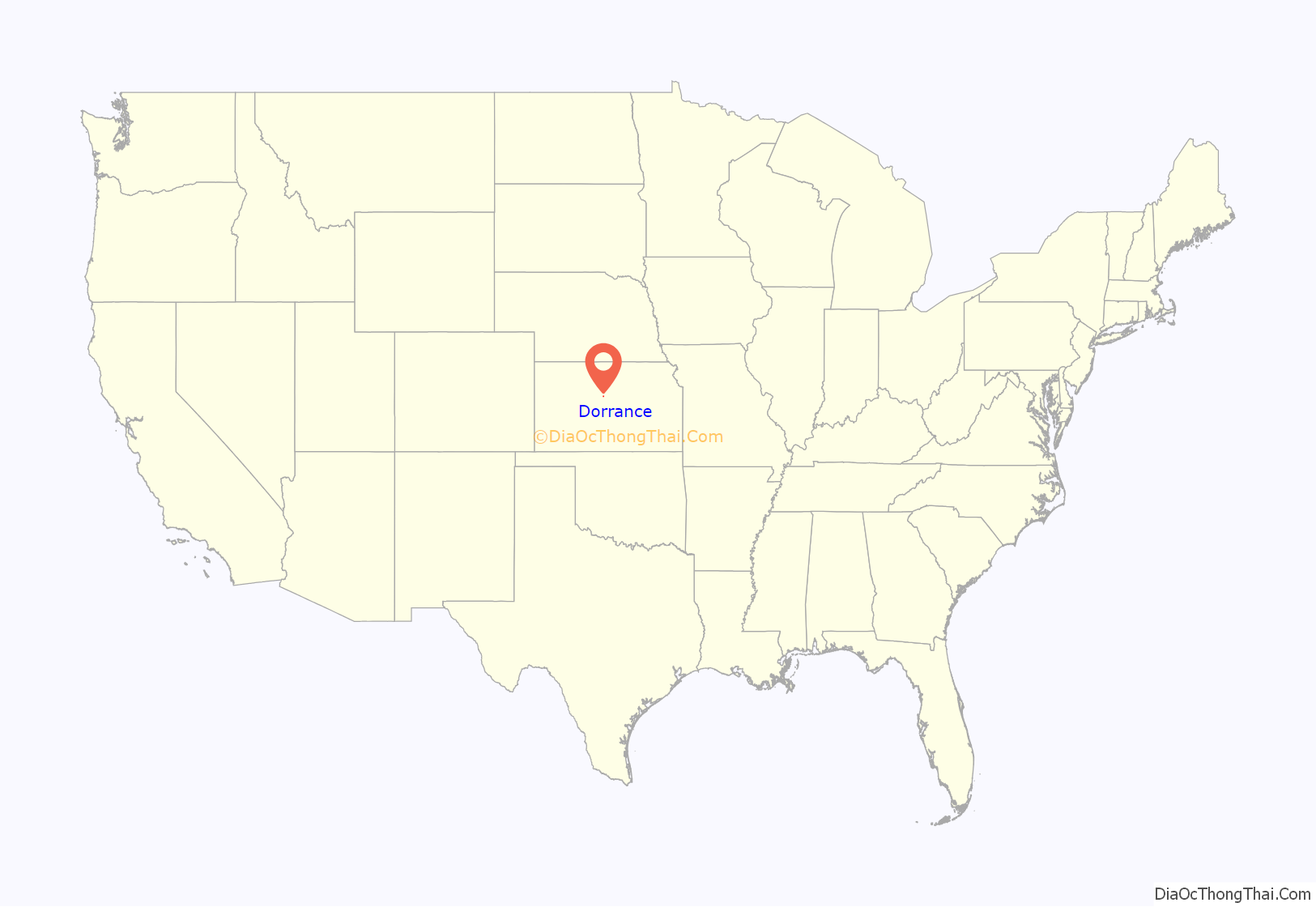
Dorrance location map. Where is Dorrance city?
History
The Kansas Pacific Railway reached the site of Dorrance in June 1867. German, English, and Irish settlers followed shortly thereafter, forming a small community by 1870. In early 1872, they were joined by a colony of settlers from Pennsylvania. A prairie fire destroyed much of the community’s business district in March 1879. The town of Dorrance was formally laid out in 1880, named for Oliver Dorrance, the railroad superintendent. The first post office opened in July 1883. Dorrance was incorporated in April 1910 and became a center of goods and services for eastern Russell County.
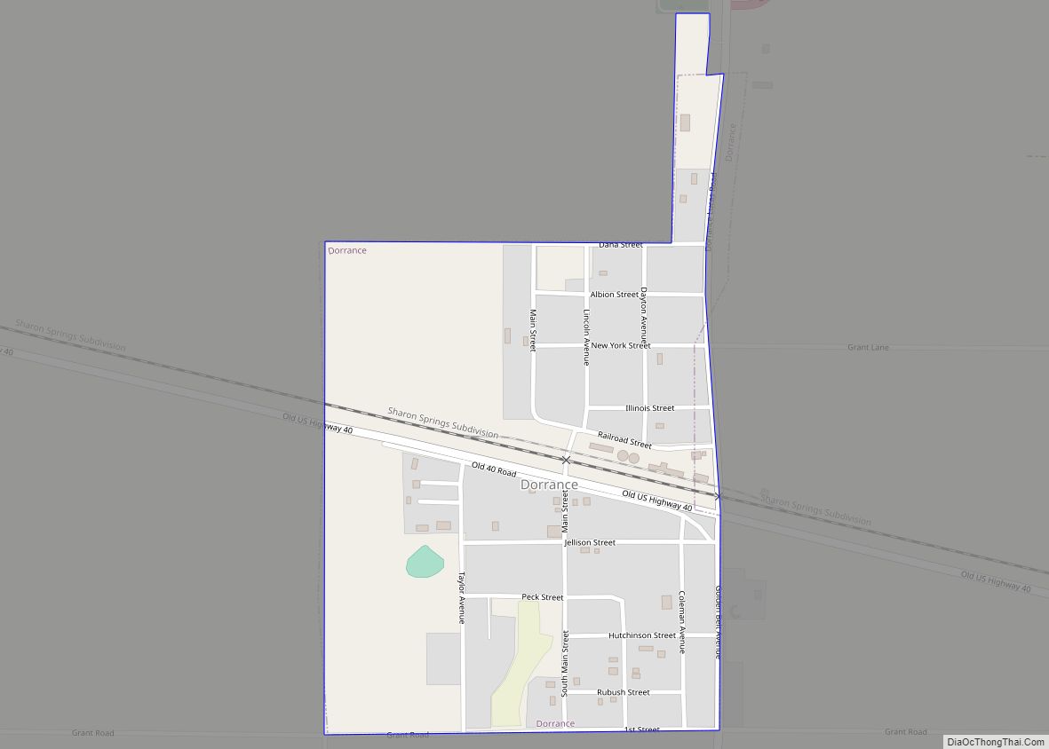
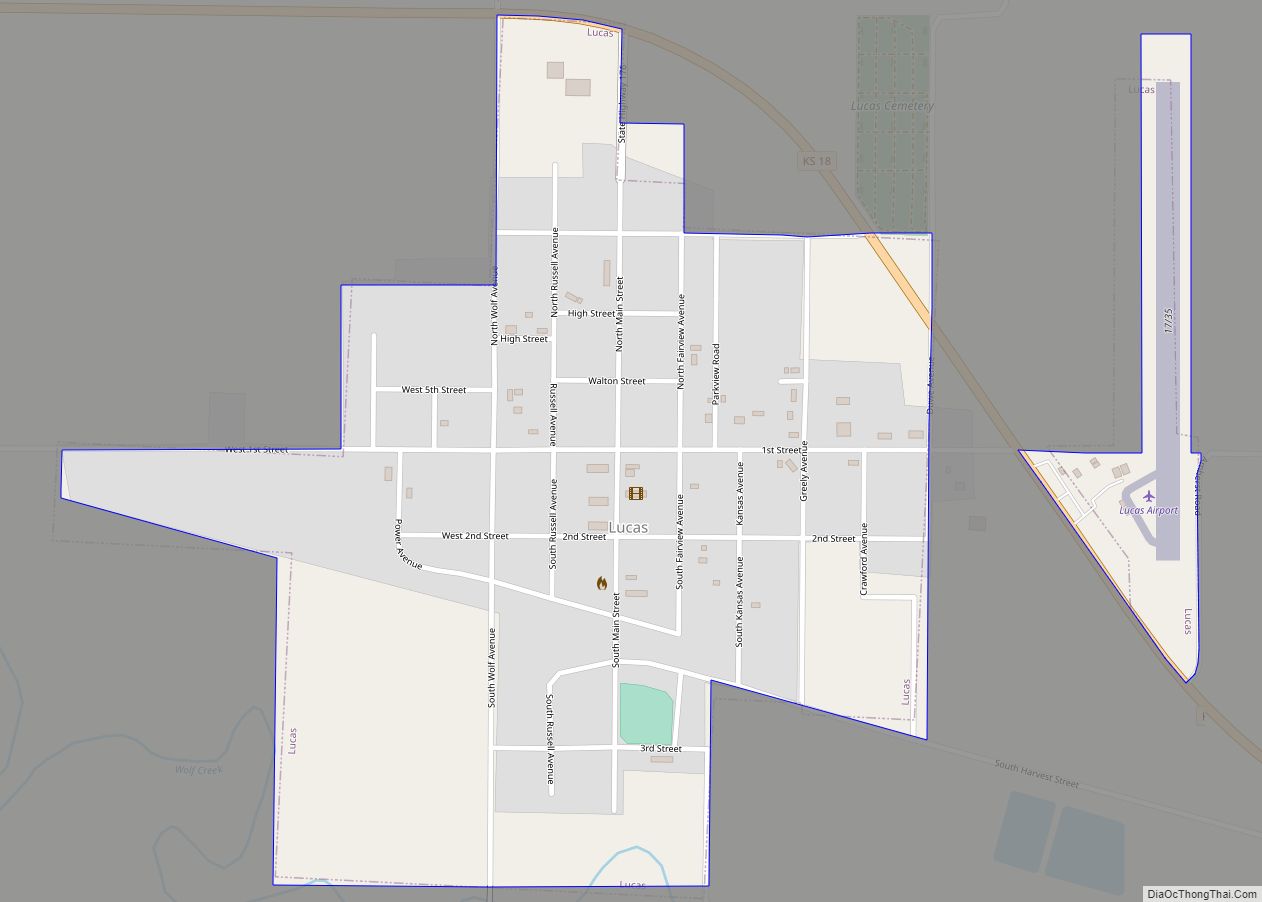
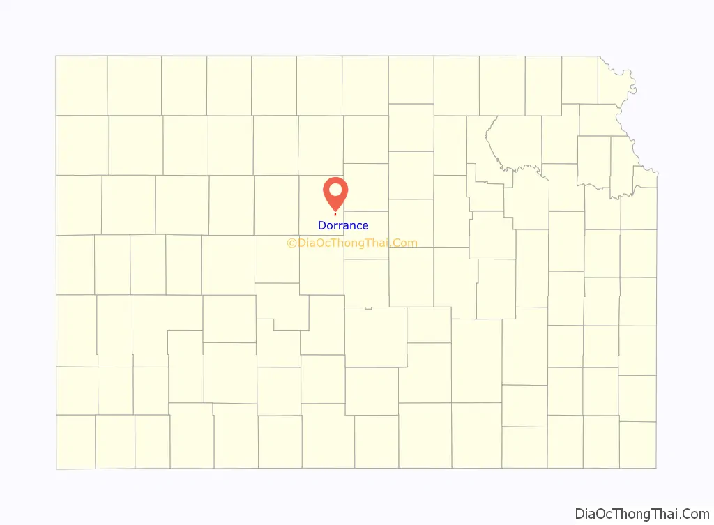
Dorrance Road Map
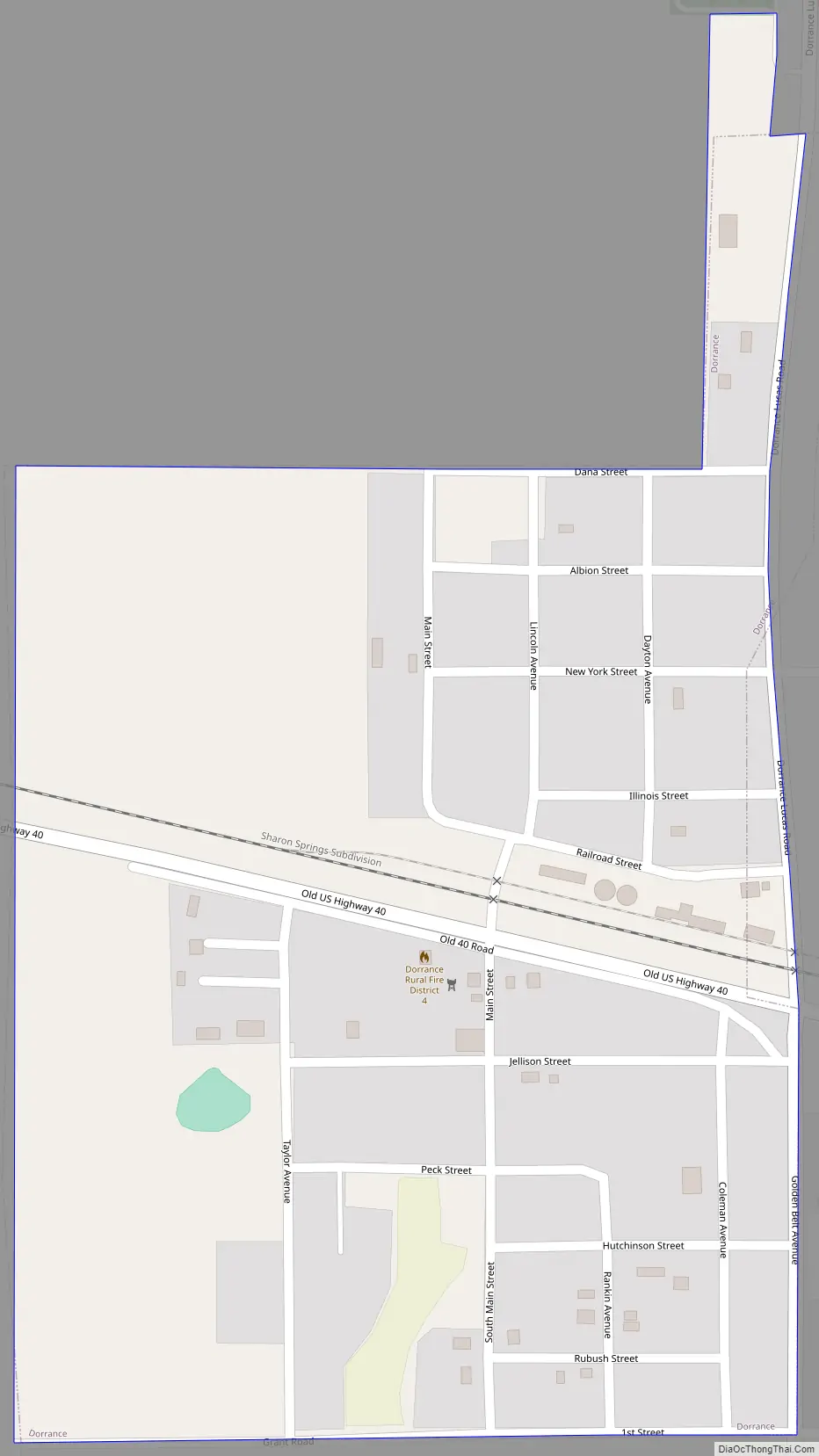
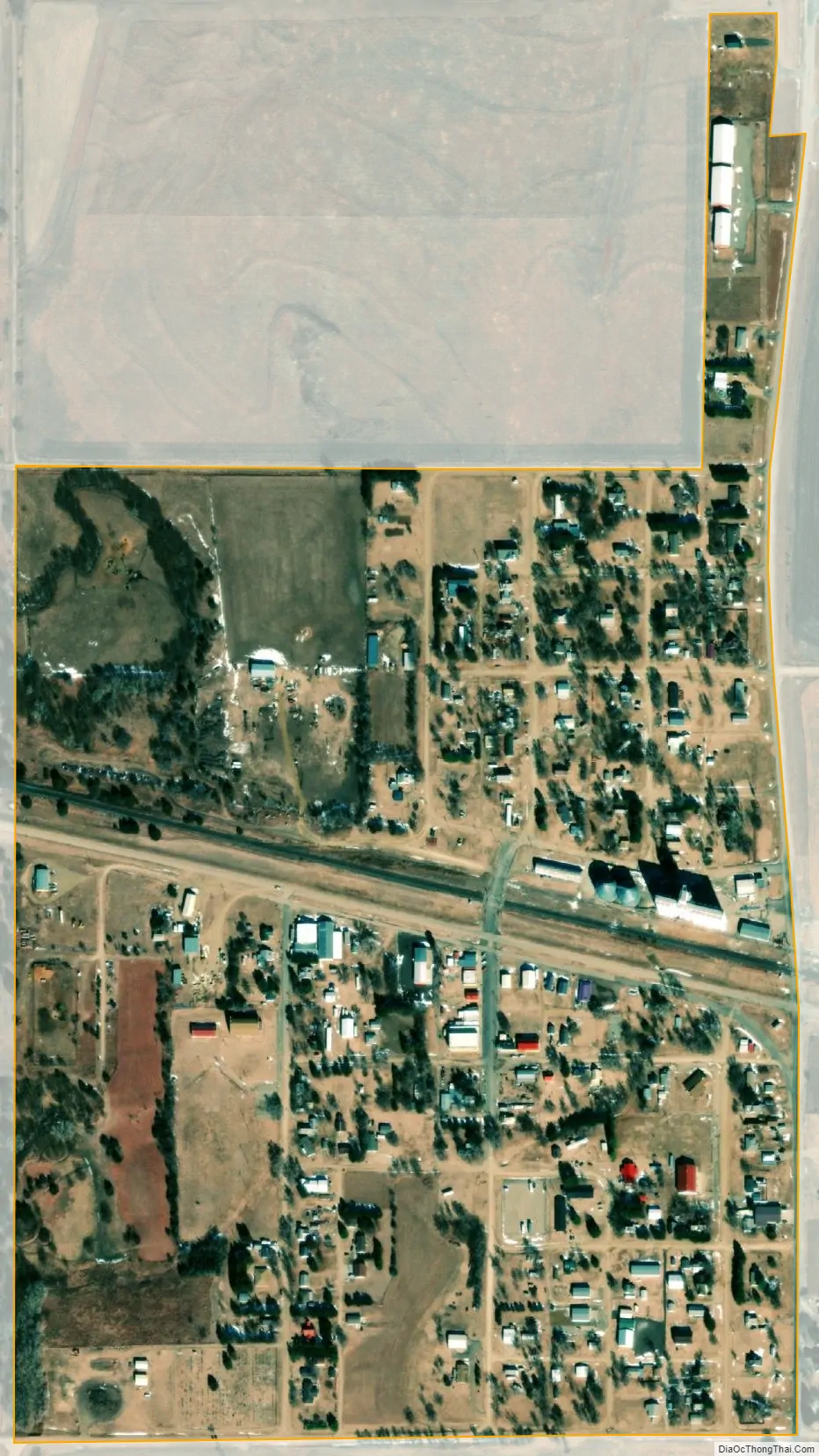
Dorrance city Satellite Map
Geography
Dorrance is located at 38°50′49″N 98°35′18″W / 38.84694°N 98.58833°W / 38.84694; -98.58833 (38.846977, -98.588338) at an elevation of 1,732 feet (528 m). The city is located in north-central Kansas 102 miles (164 km) northwest of Wichita and 214 miles (344 km) west of Kansas City. Located 1⁄2 mile (0.80 km) south of Interstate 70, it is roughly 15 miles (24 km) east-southeast of Russell, the county seat.
Dorrance lies in the Smoky Hills region of the Great Plains approximately 3 miles (4.8 km) north of the Smoky Hill River and 6 miles (9.7 km) south of Wilson Lake.
According to the United States Census Bureau, the city has a total area of 0.34 square miles (0.88 km), all of it land.
Climate
The climate in this area is characterized by hot, humid summers and generally mild to cool winters. According to the Köppen Climate Classification system, Dorrance has a humid subtropical climate, abbreviated “Cfa” on climate maps.
See also
Map of Kansas State and its subdivision:- Allen
- Anderson
- Atchison
- Barber
- Barton
- Bourbon
- Brown
- Butler
- Chase
- Chautauqua
- Cherokee
- Cheyenne
- Clark
- Clay
- Cloud
- Coffey
- Comanche
- Cowley
- Crawford
- Decatur
- Dickinson
- Doniphan
- Douglas
- Edwards
- Elk
- Ellis
- Ellsworth
- Finney
- Ford
- Franklin
- Geary
- Gove
- Graham
- Grant
- Gray
- Greeley
- Greenwood
- Hamilton
- Harper
- Harvey
- Haskell
- Hodgeman
- Jackson
- Jefferson
- Jewell
- Johnson
- Kearny
- Kingman
- Kiowa
- Labette
- Lane
- Leavenworth
- Lincoln
- Linn
- Logan
- Lyon
- Marion
- Marshall
- McPherson
- Meade
- Miami
- Mitchell
- Montgomery
- Morris
- Morton
- Nemaha
- Neosho
- Ness
- Norton
- Osage
- Osborne
- Ottawa
- Pawnee
- Phillips
- Pottawatomie
- Pratt
- Rawlins
- Reno
- Republic
- Rice
- Riley
- Rooks
- Rush
- Russell
- Saline
- Scott
- Sedgwick
- Seward
- Shawnee
- Sheridan
- Sherman
- Smith
- Stafford
- Stanton
- Stevens
- Sumner
- Thomas
- Trego
- Wabaunsee
- Wallace
- Washington
- Wichita
- Wilson
- Woodson
- Wyandotte
- Alabama
- Alaska
- Arizona
- Arkansas
- California
- Colorado
- Connecticut
- Delaware
- District of Columbia
- Florida
- Georgia
- Hawaii
- Idaho
- Illinois
- Indiana
- Iowa
- Kansas
- Kentucky
- Louisiana
- Maine
- Maryland
- Massachusetts
- Michigan
- Minnesota
- Mississippi
- Missouri
- Montana
- Nebraska
- Nevada
- New Hampshire
- New Jersey
- New Mexico
- New York
- North Carolina
- North Dakota
- Ohio
- Oklahoma
- Oregon
- Pennsylvania
- Rhode Island
- South Carolina
- South Dakota
- Tennessee
- Texas
- Utah
- Vermont
- Virginia
- Washington
- West Virginia
- Wisconsin
- Wyoming