Ellis is a city in Ellis County, Kansas, United States. As of the 2020 census, the population of the city was 1,958.
| Name: | Ellis city |
|---|---|
| LSAD Code: | 25 |
| LSAD Description: | city (suffix) |
| State: | Kansas |
| County: | Ellis County |
| Founded: | 1870 |
| Incorporated: | 1888 |
| Elevation: | 2,120 ft (650 m) |
| Total Area: | 1.66 sq mi (4.29 km²) |
| Land Area: | 1.66 sq mi (4.29 km²) |
| Water Area: | 0.00 sq mi (0.00 km²) |
| Total Population: | 1,958 |
| Population Density: | 1,200/sq mi (460/km²) |
| ZIP code: | 67637 |
| Area code: | 785 |
| FIPS code: | 2020450 |
| Website: | ellis.ks.us |
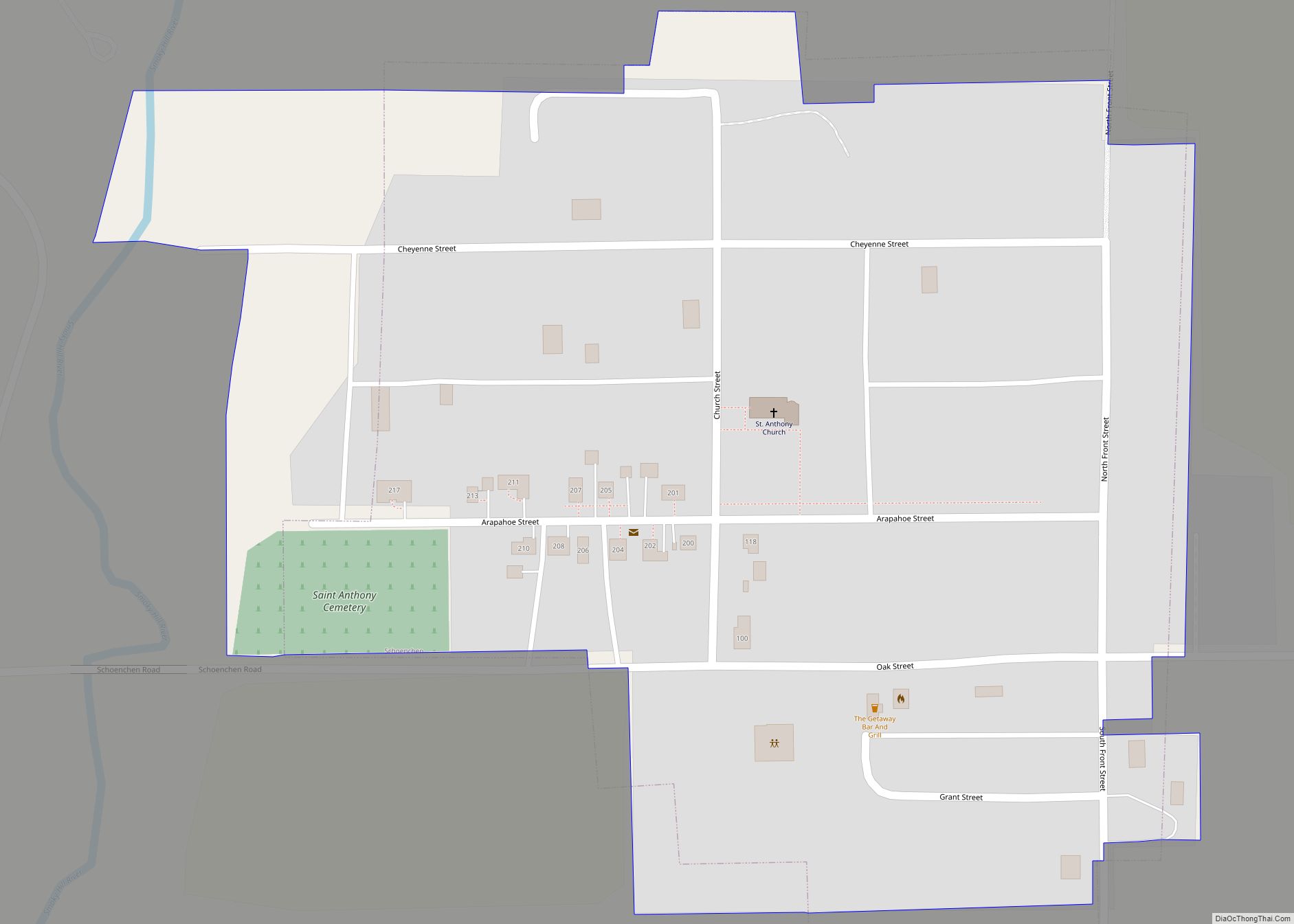
Online Interactive Map
Click on ![]() to view map in "full screen" mode.
to view map in "full screen" mode.
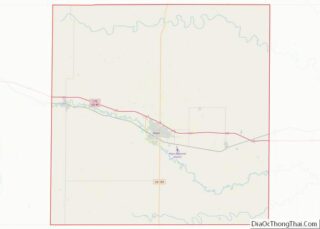
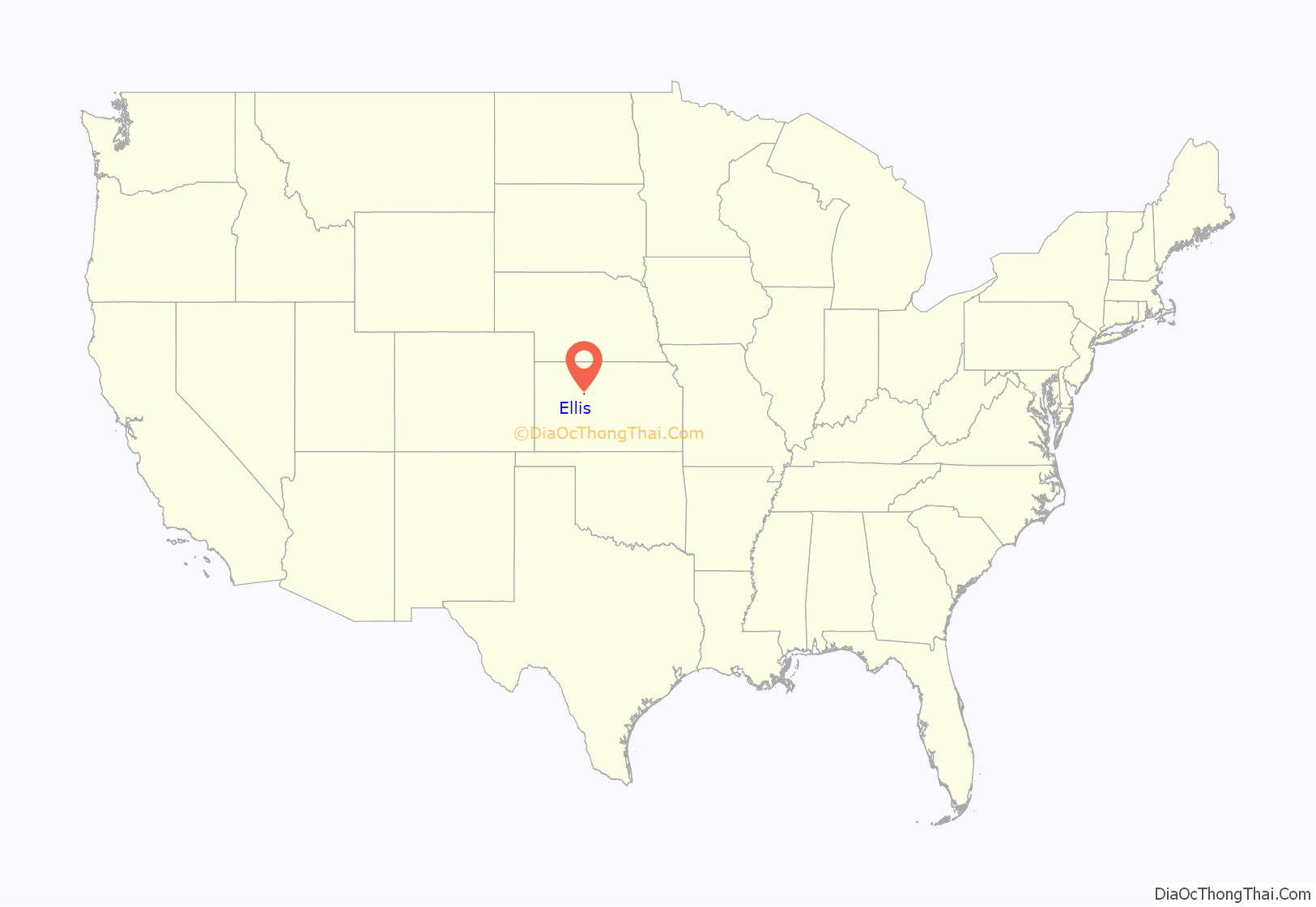
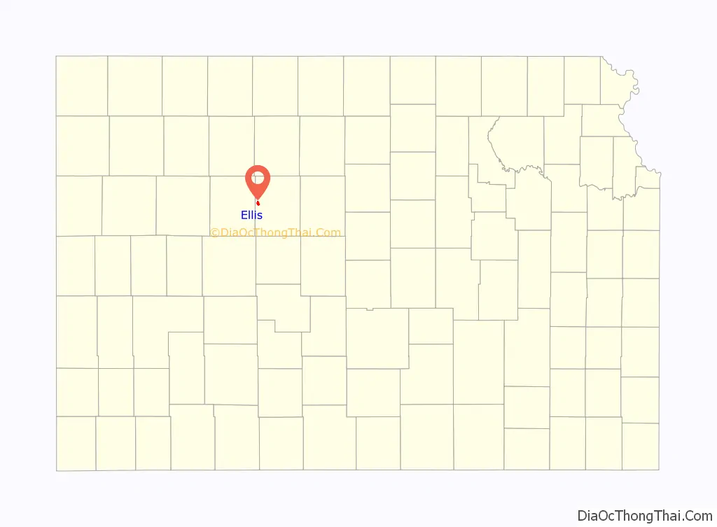
Ellis location map. Where is Ellis city?
History
The Kansas Pacific Railway built a water station at the site of present-day Ellis in 1867 and then purchased the site under the Homestead Act. Three years later, in 1870, the U.S. Post Office Department opened a post office at Ellis, marking the town’s foundation. Kansas Pacific laid out the town in 1873, establishing a depot, a hotel, and a few shops. That same year, settlers from Syracuse, New York, and later from Louisville, Kentucky, arrived to work for the railroad. The first church opened in Ellis in 1873, the first school in 1874. Starting in 1875 and for the rest of the 1870s, Ellis was a cowtown, serving as a shipping point for cattle herds from the south. Bukovina Germans began settling in the area in 1886. Ellis incorporated as a city in January 1888.
Long ago, Ellis (as well as Hays) was once a sundown town, where African Americans were not welcome after dark.
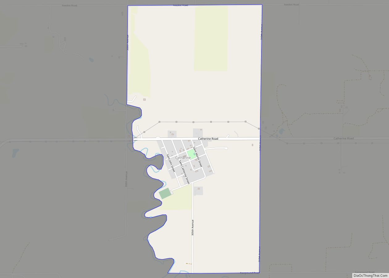
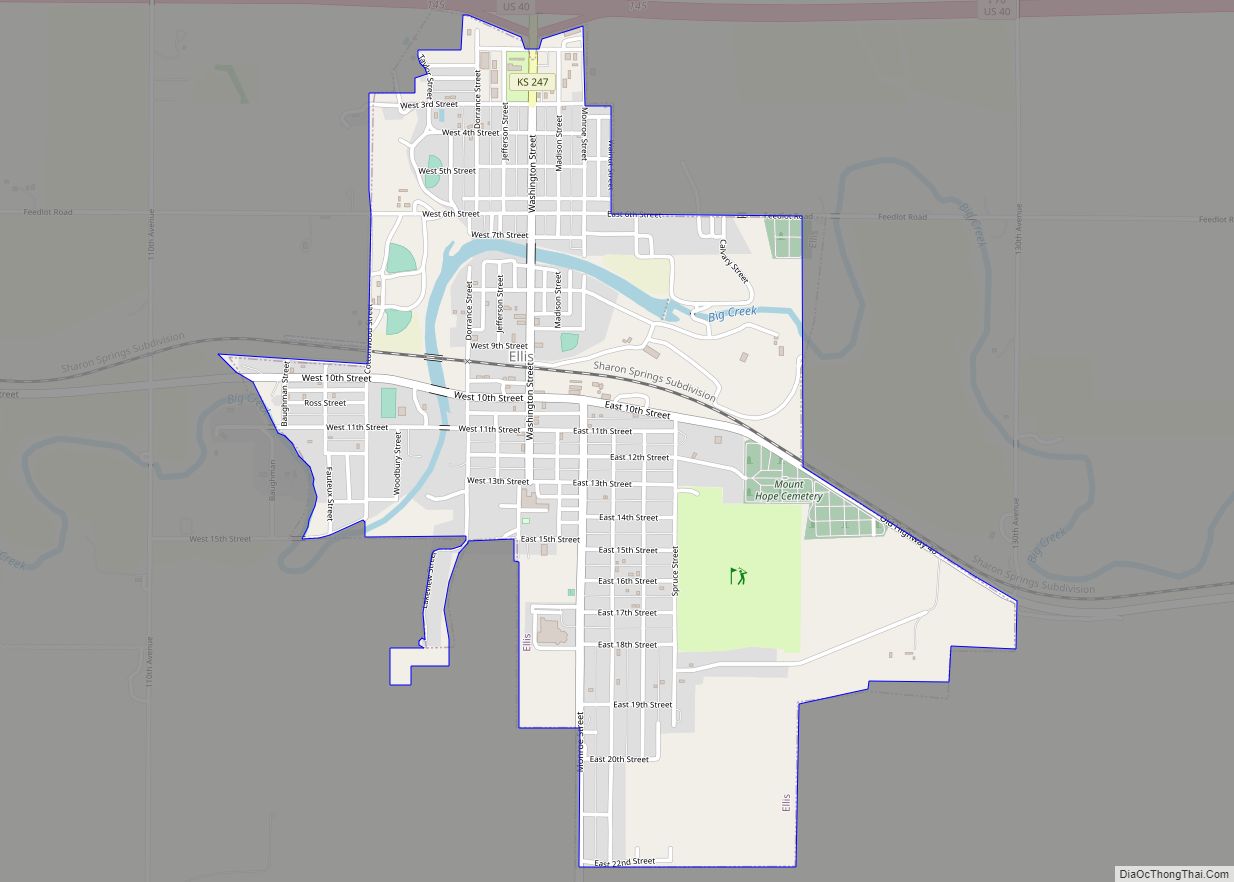
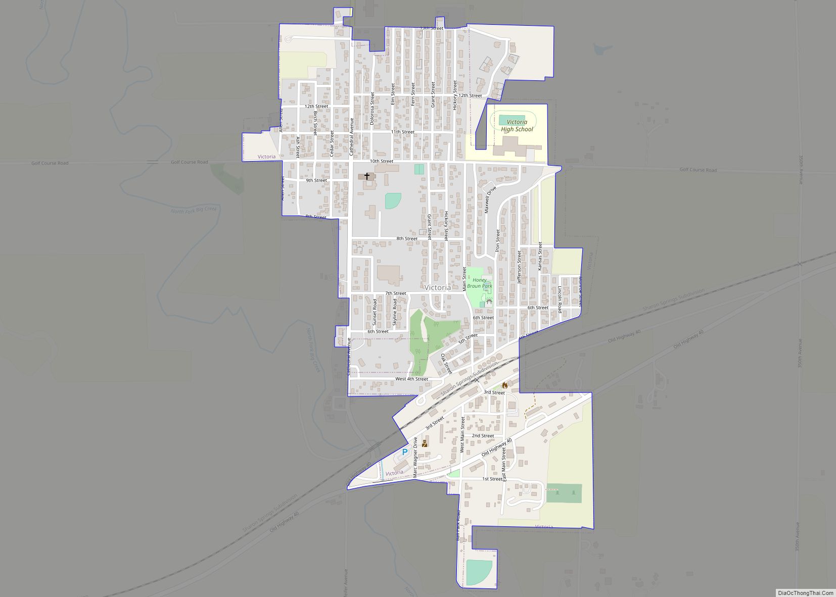
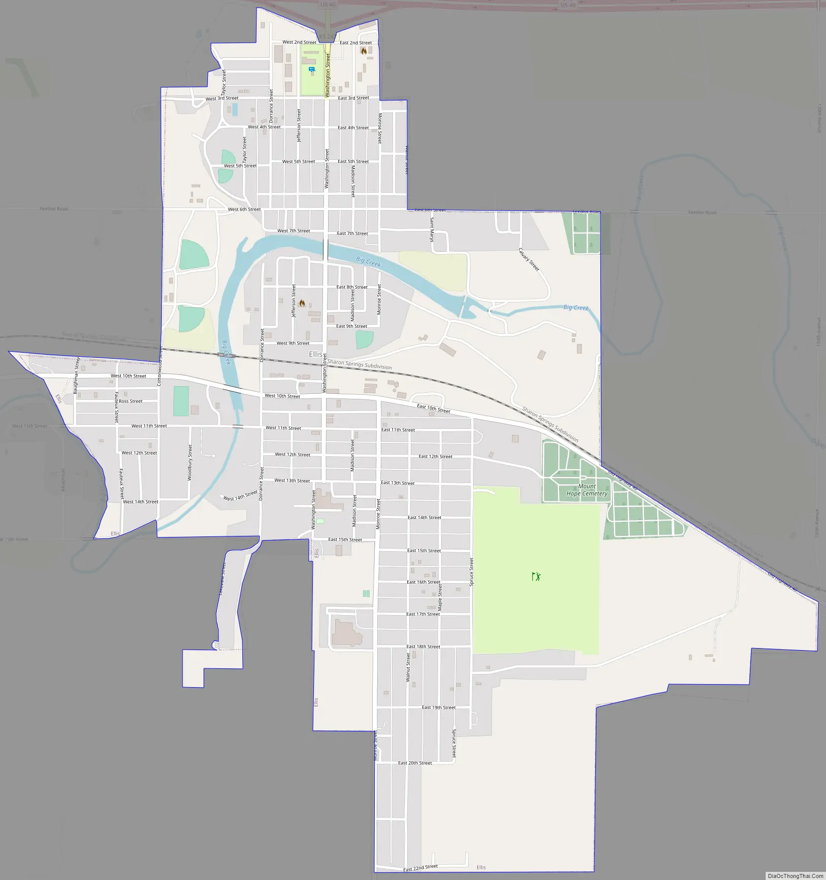
Ellis Road Map
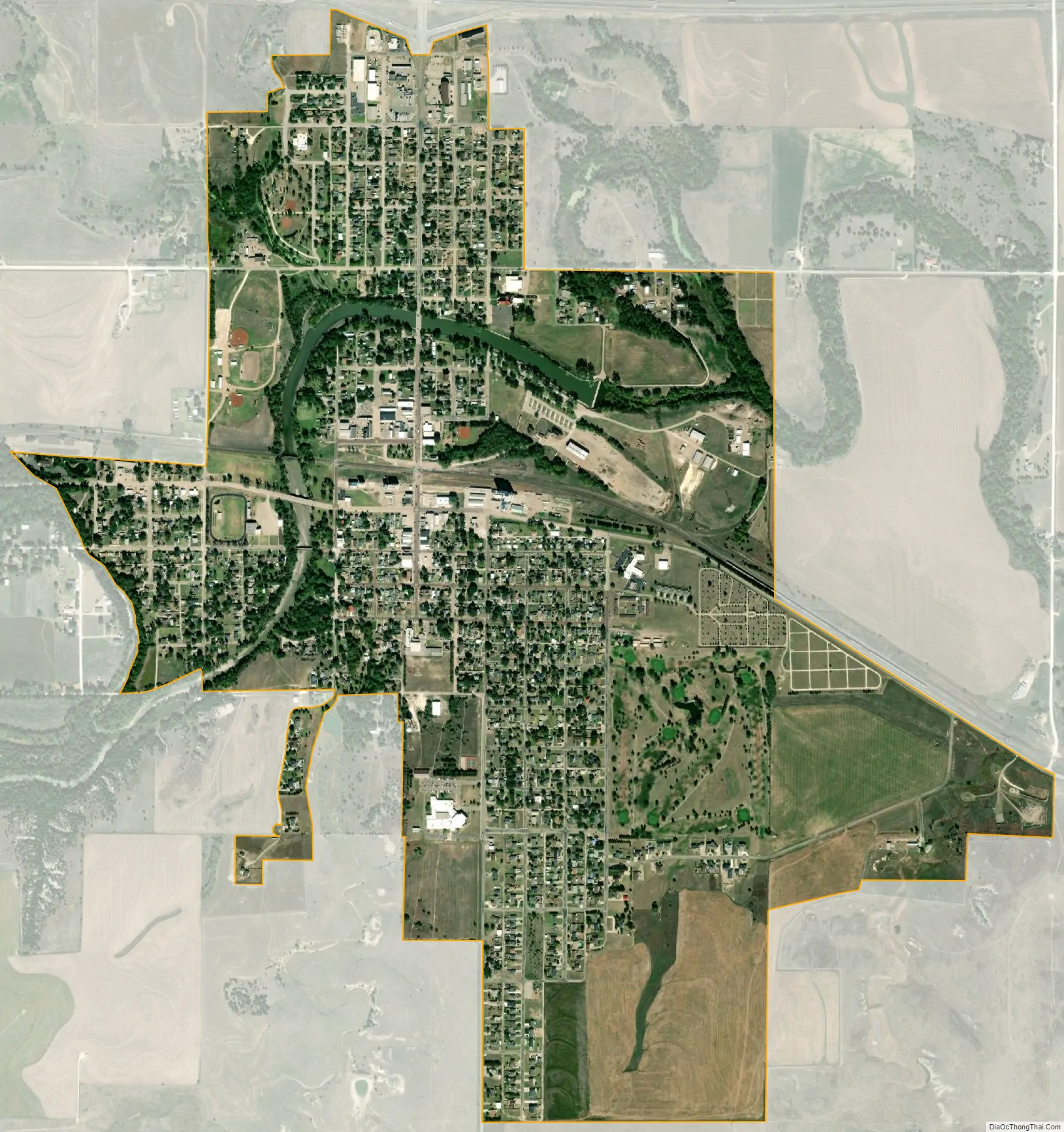
Ellis city Satellite Map
Geography
Ellis is located at 38°56′10″N 99°33′33″W / 38.93611°N 99.55917°W / 38.93611; -99.55917 (38.936211, -99.559269), at an elevation of 2,120 feet (646 m). Located in northwestern Kansas on Interstate 70, Ellis is 13 miles (21 km) west-northwest of Hays, the county seat. It is approximately 146 miles (235 km) northwest of Wichita and 260 miles (420 km) west of Kansas City.
Ellis lies on the western edge of the Smoky Hills region of the Great Plains. Big Creek, a tributary of the Smoky Hill River, runs east through the city and has been dammed to form a long, narrow reservoir, Big Creek Lake.
According to the United States Census Bureau, the city has a total area of 1.64 square miles (4.25 km), all land.
Climate
On average in Ellis, January is the coolest month, and July is both the warmest month and the wettest month. The hottest temperature recorded in Ellis was 110 °F (43 °C) in 2003; the coldest temperature recorded was -24 °F (-31 °C) in 1989.
See also
Map of Kansas State and its subdivision:- Allen
- Anderson
- Atchison
- Barber
- Barton
- Bourbon
- Brown
- Butler
- Chase
- Chautauqua
- Cherokee
- Cheyenne
- Clark
- Clay
- Cloud
- Coffey
- Comanche
- Cowley
- Crawford
- Decatur
- Dickinson
- Doniphan
- Douglas
- Edwards
- Elk
- Ellis
- Ellsworth
- Finney
- Ford
- Franklin
- Geary
- Gove
- Graham
- Grant
- Gray
- Greeley
- Greenwood
- Hamilton
- Harper
- Harvey
- Haskell
- Hodgeman
- Jackson
- Jefferson
- Jewell
- Johnson
- Kearny
- Kingman
- Kiowa
- Labette
- Lane
- Leavenworth
- Lincoln
- Linn
- Logan
- Lyon
- Marion
- Marshall
- McPherson
- Meade
- Miami
- Mitchell
- Montgomery
- Morris
- Morton
- Nemaha
- Neosho
- Ness
- Norton
- Osage
- Osborne
- Ottawa
- Pawnee
- Phillips
- Pottawatomie
- Pratt
- Rawlins
- Reno
- Republic
- Rice
- Riley
- Rooks
- Rush
- Russell
- Saline
- Scott
- Sedgwick
- Seward
- Shawnee
- Sheridan
- Sherman
- Smith
- Stafford
- Stanton
- Stevens
- Sumner
- Thomas
- Trego
- Wabaunsee
- Wallace
- Washington
- Wichita
- Wilson
- Woodson
- Wyandotte
- Alabama
- Alaska
- Arizona
- Arkansas
- California
- Colorado
- Connecticut
- Delaware
- District of Columbia
- Florida
- Georgia
- Hawaii
- Idaho
- Illinois
- Indiana
- Iowa
- Kansas
- Kentucky
- Louisiana
- Maine
- Maryland
- Massachusetts
- Michigan
- Minnesota
- Mississippi
- Missouri
- Montana
- Nebraska
- Nevada
- New Hampshire
- New Jersey
- New Mexico
- New York
- North Carolina
- North Dakota
- Ohio
- Oklahoma
- Oregon
- Pennsylvania
- Rhode Island
- South Carolina
- South Dakota
- Tennessee
- Texas
- Utah
- Vermont
- Virginia
- Washington
- West Virginia
- Wisconsin
- Wyoming