Elsmore is a city in Allen County, Kansas, United States. As of the 2020 census, the population of the city was 50. The name Elsmore is a corruption of Elsinore, where Shakespeare’s play Hamlet was set.
| Name: | Elsmore city |
|---|---|
| LSAD Code: | 25 |
| LSAD Description: | city (suffix) |
| State: | Kansas |
| County: | Allen County |
| Founded: | 1888 |
| Incorporated: | 1909 |
| Elevation: | 1,056 ft (322 m) |
| Total Area: | 0.15 sq mi (0.39 km²) |
| Land Area: | 0.15 sq mi (0.39 km²) |
| Water Area: | 0.00 sq mi (0.00 km²) |
| Total Population: | 50 |
| Population Density: | 330/sq mi (130/km²) |
| ZIP code: | 66732 |
| Area code: | 620 |
| FIPS code: | 2020875 |
| Website: | elsmorekansas.tripod.com |
Online Interactive Map
Click on ![]() to view map in "full screen" mode.
to view map in "full screen" mode.
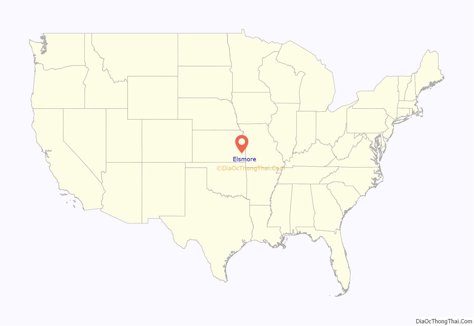
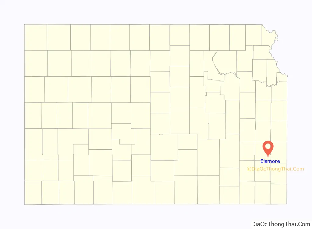
Elsmore location map. Where is Elsmore city?
History
The old town of Elsmore, which for several years was the center of attraction for the citizens of Elsmore Township, was located farther west, not far from Big Creek. On August 25, 1888, after the route of the Missouri, Kansas & Texas R.R. from Kansas City to Parsons had been definitely settled, N.L. Ard, J.L. Roberts, J.A. Nicholson, W.D. and H.W. Cox, and O.P. Mattson purchased 20 acres (81,000 m) where the present town of Elsmore stands, and platted the town. It soon became a popular trading center and shipping point for that section of the county, and in 1909 was incorporated. In 1910 it reported a population of 216 and had a money order post office (first opened in November 1866) with two rural delivery routes, a bank, several good stores, some small manufacturing enterprises, telegraph and express facilities.
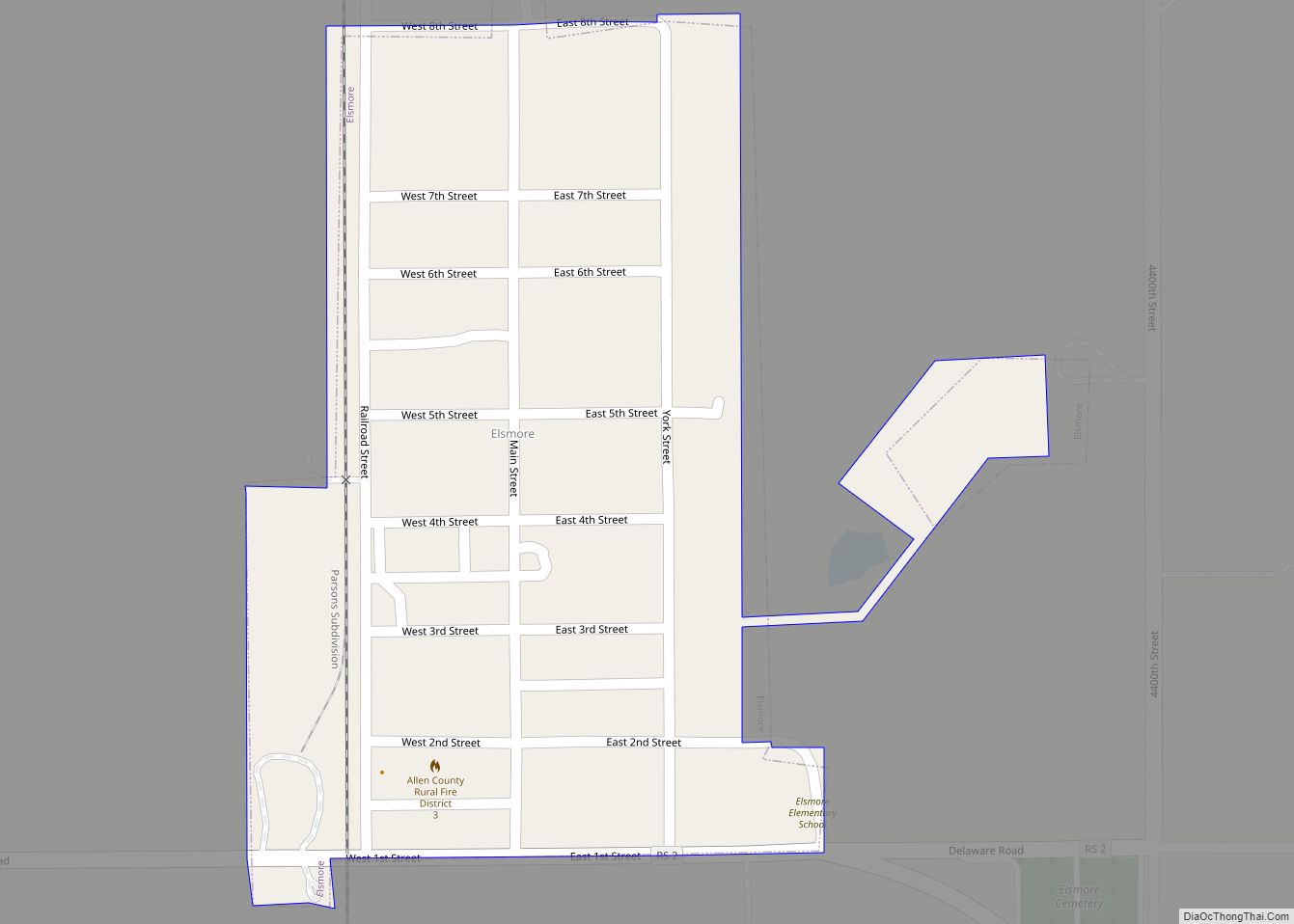
Elsmore Road Map
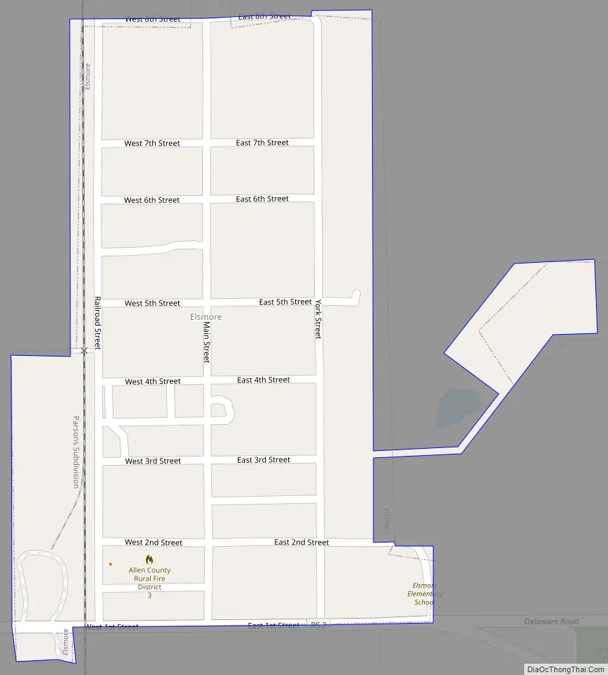
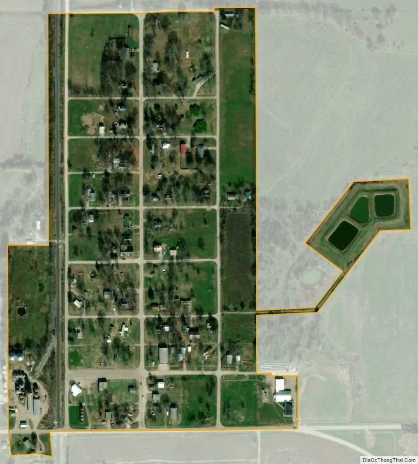
Elsmore city Satellite Map
Geography
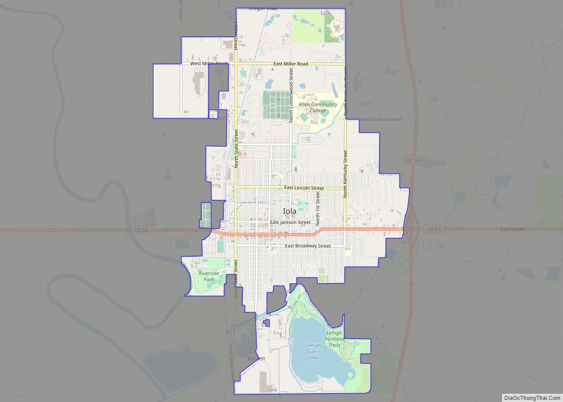
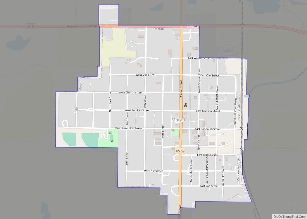
Elsmore is located at 37°47′39″N 95°8′58″W / 37.79417°N 95.14944°W / 37.79417; -95.14944 (37.794222, -95.149458), in Section 7, Township 26 south, Range 21 east. Elsmore is situated in the southeastern part of the county in Elsmore Township, some 15 miles (24 km) southeast of the city of Iola (the county seat). U.S. Route 59 passes west of the city, and K-203 is a short connector (less than a mile) between US-59 and the city. The small city of Savonburg lies about 3 miles (4.8 km) to the south, and the larger city of Moran is about nine miles (14 km) to the north (along US-59).
According to the United States Census Bureau, the city has a total area of 0.15 square miles (0.39 km), all of it land.
See also
Map of Kansas State and its subdivision:- Allen
- Anderson
- Atchison
- Barber
- Barton
- Bourbon
- Brown
- Butler
- Chase
- Chautauqua
- Cherokee
- Cheyenne
- Clark
- Clay
- Cloud
- Coffey
- Comanche
- Cowley
- Crawford
- Decatur
- Dickinson
- Doniphan
- Douglas
- Edwards
- Elk
- Ellis
- Ellsworth
- Finney
- Ford
- Franklin
- Geary
- Gove
- Graham
- Grant
- Gray
- Greeley
- Greenwood
- Hamilton
- Harper
- Harvey
- Haskell
- Hodgeman
- Jackson
- Jefferson
- Jewell
- Johnson
- Kearny
- Kingman
- Kiowa
- Labette
- Lane
- Leavenworth
- Lincoln
- Linn
- Logan
- Lyon
- Marion
- Marshall
- McPherson
- Meade
- Miami
- Mitchell
- Montgomery
- Morris
- Morton
- Nemaha
- Neosho
- Ness
- Norton
- Osage
- Osborne
- Ottawa
- Pawnee
- Phillips
- Pottawatomie
- Pratt
- Rawlins
- Reno
- Republic
- Rice
- Riley
- Rooks
- Rush
- Russell
- Saline
- Scott
- Sedgwick
- Seward
- Shawnee
- Sheridan
- Sherman
- Smith
- Stafford
- Stanton
- Stevens
- Sumner
- Thomas
- Trego
- Wabaunsee
- Wallace
- Washington
- Wichita
- Wilson
- Woodson
- Wyandotte
- Alabama
- Alaska
- Arizona
- Arkansas
- California
- Colorado
- Connecticut
- Delaware
- District of Columbia
- Florida
- Georgia
- Hawaii
- Idaho
- Illinois
- Indiana
- Iowa
- Kansas
- Kentucky
- Louisiana
- Maine
- Maryland
- Massachusetts
- Michigan
- Minnesota
- Mississippi
- Missouri
- Montana
- Nebraska
- Nevada
- New Hampshire
- New Jersey
- New Mexico
- New York
- North Carolina
- North Dakota
- Ohio
- Oklahoma
- Oregon
- Pennsylvania
- Rhode Island
- South Carolina
- South Dakota
- Tennessee
- Texas
- Utah
- Vermont
- Virginia
- Washington
- West Virginia
- Wisconsin
- Wyoming