Gorham is a city in Russell County, Kansas, United States. As of the 2020 census, the population of the city was 376.
| Name: | Gorham city |
|---|---|
| LSAD Code: | 25 |
| LSAD Description: | city (suffix) |
| State: | Kansas |
| County: | Russell County |
| Founded: | 1886 |
| Incorporated: | 1941 |
| Elevation: | 1,916 ft (584 m) |
| Total Area: | 0.24 sq mi (0.62 km²) |
| Land Area: | 0.24 sq mi (0.62 km²) |
| Water Area: | 0.00 sq mi (0.00 km²) |
| Total Population: | 376 |
| Population Density: | 1,600/sq mi (610/km²) |
| ZIP code: | 67640 |
| Area code: | 785 |
| FIPS code: | 2027000 |
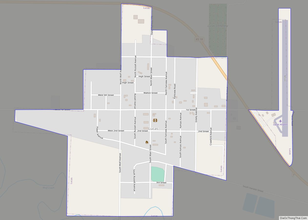
Online Interactive Map
Click on ![]() to view map in "full screen" mode.
to view map in "full screen" mode.
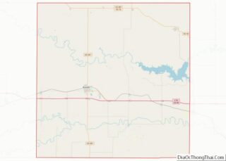
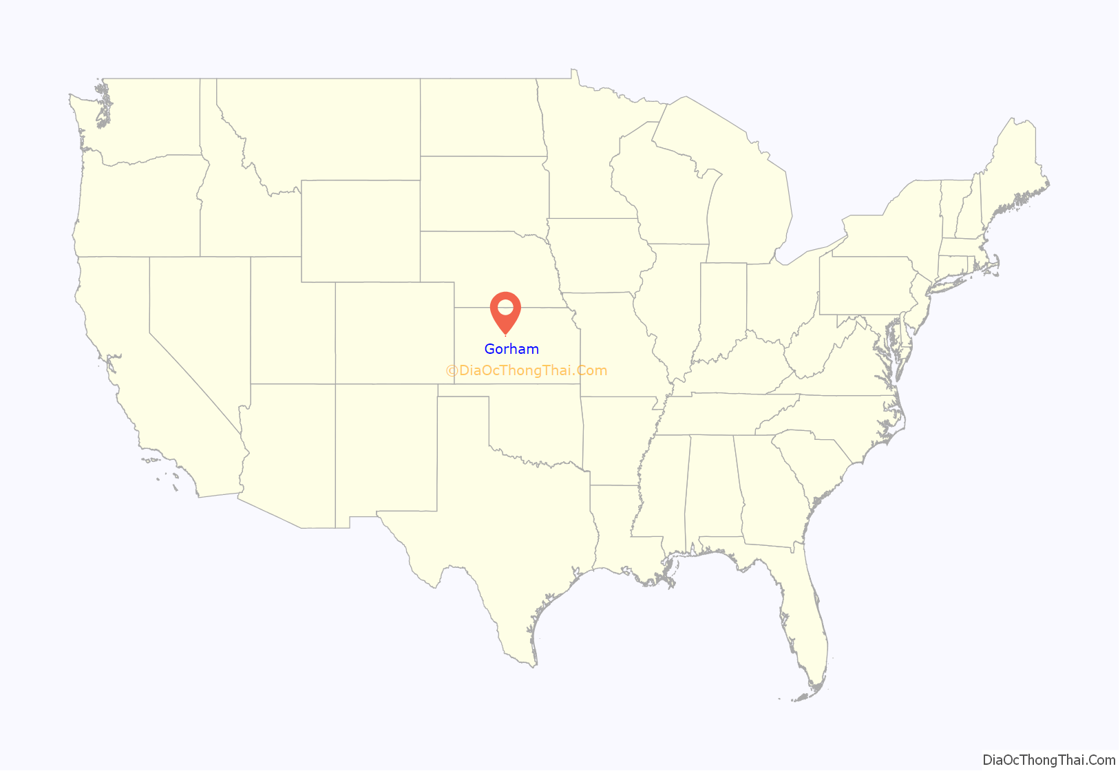
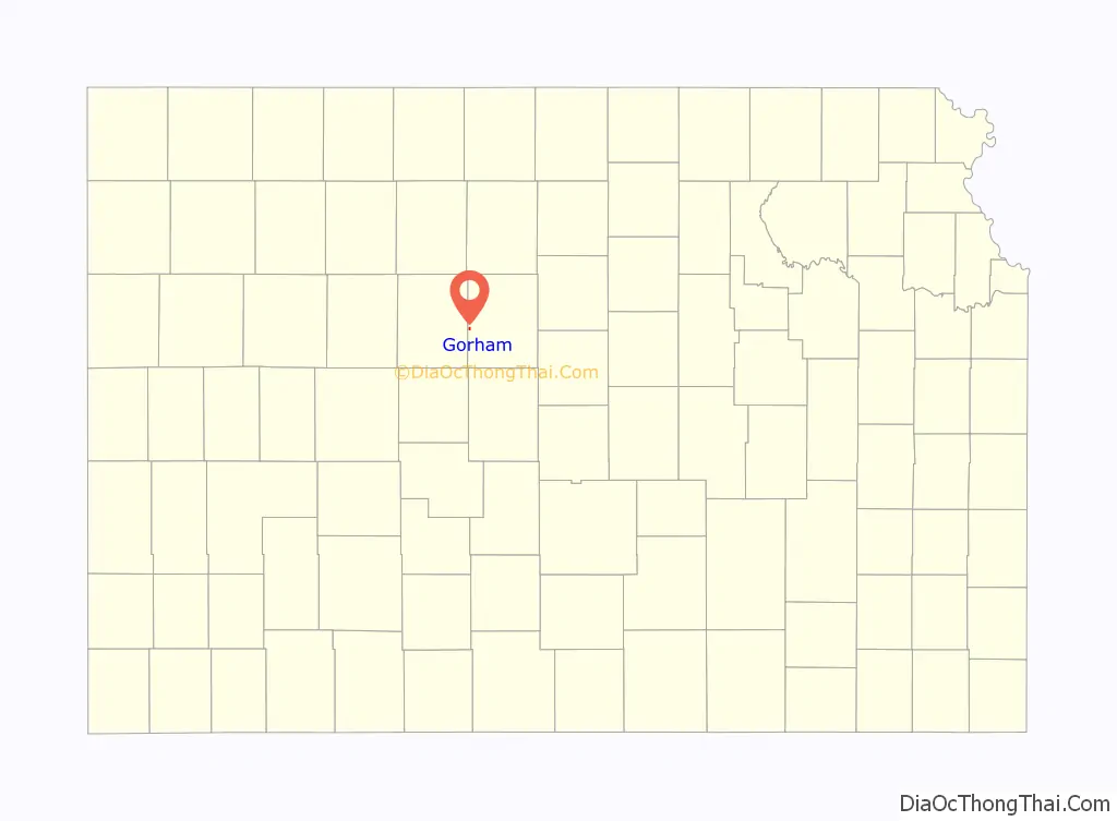
Gorham location map. Where is Gorham city?
History
Beaten to the settlement of Wilson, Kansas by Bohemian colonists, Pennsylvania Dutch settlers from Philadelphia and Lancaster, Pennsylvania established a community on the Kansas Pacific Railway at the future site of Gorham in April 1872. Elijah Dodge Gorham, a settler from Illinois, gave the town its name when he platted it in 1879. Seeking to create a local trading center, he formally established the town in July 1886, gave land for a Catholic Church and cemetery, and started several businesses including a general store, grain elevator, post office, lumberyard, and a coal yard. Additional grain elevators and a stockyard subsequently opened, establishing Gorham as a farming community.
The discovery of oil deposits in Russell County transformed the local economy in the 1920s. Companies including Texaco, Stanolind, and Sohio started operations in the area, stimulating Gorham’s growth. A brick school building was built in 1922 followed by a second building in 1930 and another in 1949. Gorham incorporated as a city in 1941. By 1944, it had a diverse business community, two oil field production companies, and public schools. From the 1950s to the early 1980s, the city expanded further through the development of residential additions.
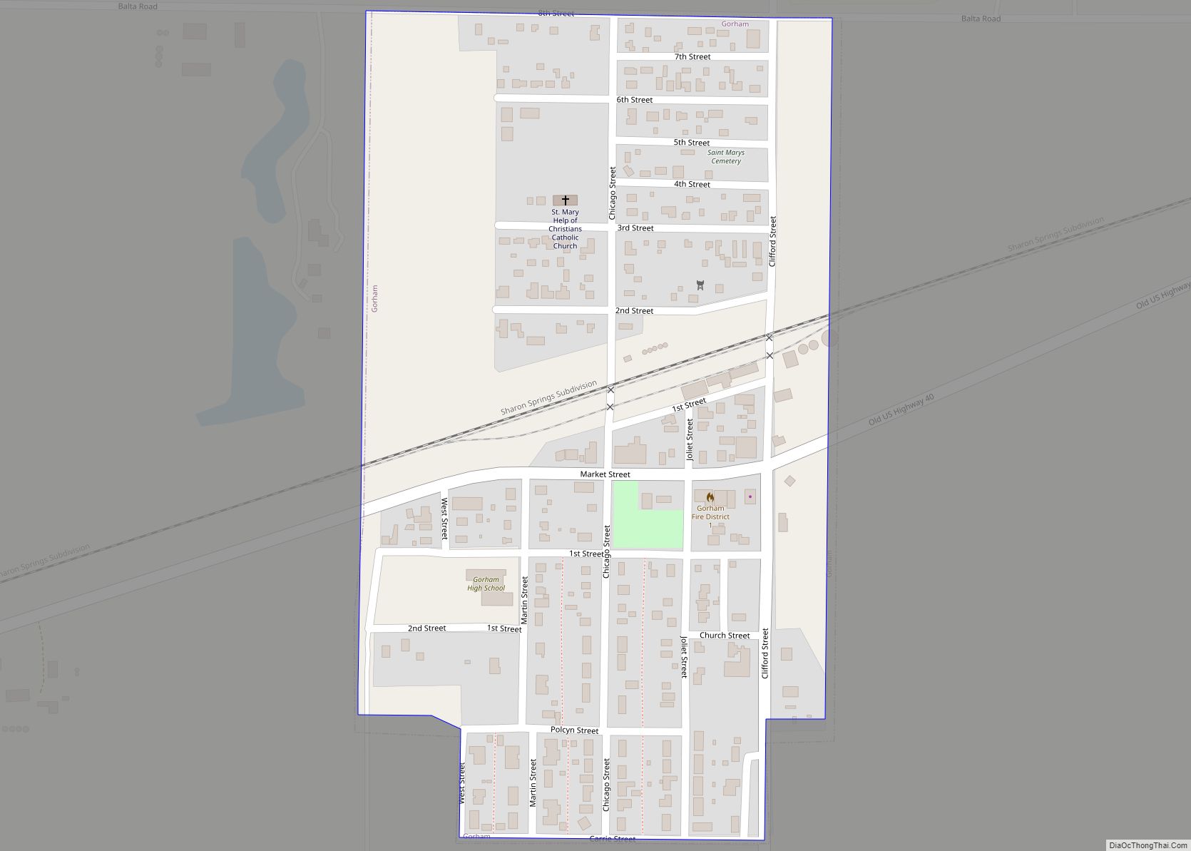
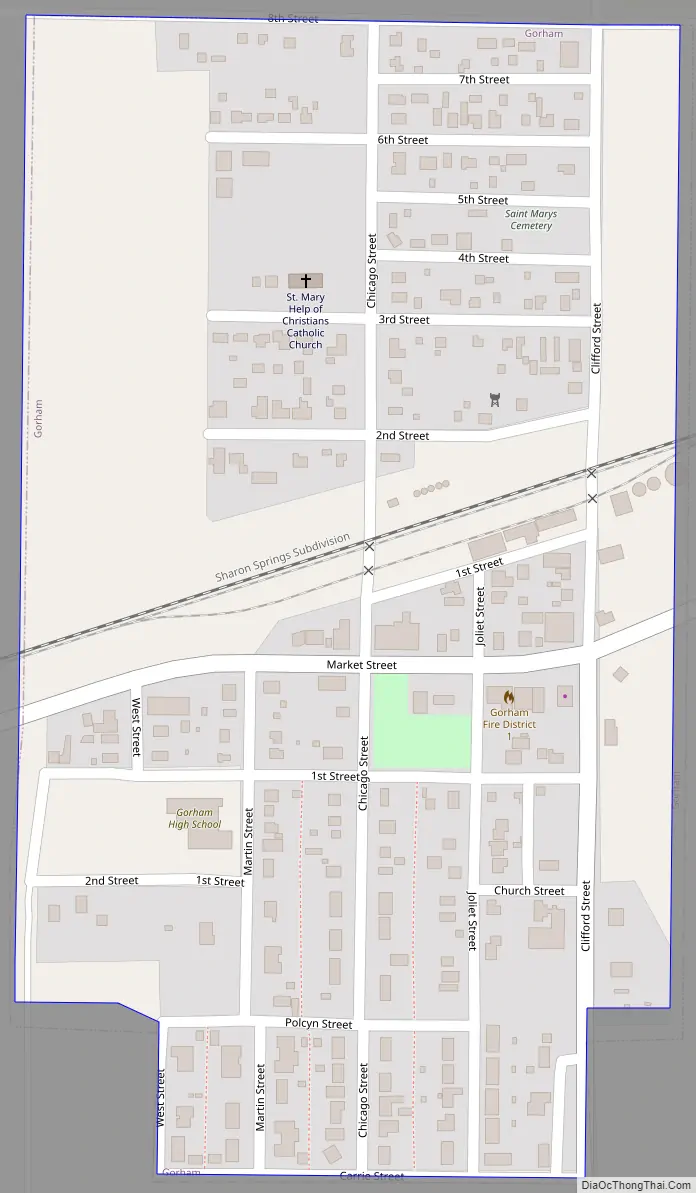
Gorham Road Map
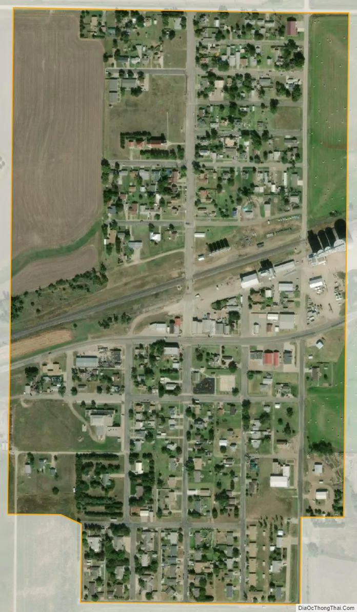
Gorham city Satellite Map
Geography
Gorham is located at 38°52′49″N 99°01′22″W / 38.880366°N 99.022682°W / 38.880366; -99.022682 (38.880366, -99.022682) at an elevation of 1,916 feet (584 m). The city is located in north-central Kansas approximately 121 miles (195 km) northwest of Wichita and 237 miles (381 km) west of Kansas City. Located 1.2 miles (1.9 km) north of Interstate 70, it is roughly 9 miles (14 km) west of Russell, the county seat.
Gorham lies in the Smoky Hills region of the Great Plains approximately 9 miles (14 km) north of the Smoky Hill River and 11 miles (18 km) south of the Saline River.
According to the United States Census Bureau, the city has a total area of 0.24 square miles (0.62 km), all of it land.
See also
Map of Kansas State and its subdivision:- Allen
- Anderson
- Atchison
- Barber
- Barton
- Bourbon
- Brown
- Butler
- Chase
- Chautauqua
- Cherokee
- Cheyenne
- Clark
- Clay
- Cloud
- Coffey
- Comanche
- Cowley
- Crawford
- Decatur
- Dickinson
- Doniphan
- Douglas
- Edwards
- Elk
- Ellis
- Ellsworth
- Finney
- Ford
- Franklin
- Geary
- Gove
- Graham
- Grant
- Gray
- Greeley
- Greenwood
- Hamilton
- Harper
- Harvey
- Haskell
- Hodgeman
- Jackson
- Jefferson
- Jewell
- Johnson
- Kearny
- Kingman
- Kiowa
- Labette
- Lane
- Leavenworth
- Lincoln
- Linn
- Logan
- Lyon
- Marion
- Marshall
- McPherson
- Meade
- Miami
- Mitchell
- Montgomery
- Morris
- Morton
- Nemaha
- Neosho
- Ness
- Norton
- Osage
- Osborne
- Ottawa
- Pawnee
- Phillips
- Pottawatomie
- Pratt
- Rawlins
- Reno
- Republic
- Rice
- Riley
- Rooks
- Rush
- Russell
- Saline
- Scott
- Sedgwick
- Seward
- Shawnee
- Sheridan
- Sherman
- Smith
- Stafford
- Stanton
- Stevens
- Sumner
- Thomas
- Trego
- Wabaunsee
- Wallace
- Washington
- Wichita
- Wilson
- Woodson
- Wyandotte
- Alabama
- Alaska
- Arizona
- Arkansas
- California
- Colorado
- Connecticut
- Delaware
- District of Columbia
- Florida
- Georgia
- Hawaii
- Idaho
- Illinois
- Indiana
- Iowa
- Kansas
- Kentucky
- Louisiana
- Maine
- Maryland
- Massachusetts
- Michigan
- Minnesota
- Mississippi
- Missouri
- Montana
- Nebraska
- Nevada
- New Hampshire
- New Jersey
- New Mexico
- New York
- North Carolina
- North Dakota
- Ohio
- Oklahoma
- Oregon
- Pennsylvania
- Rhode Island
- South Carolina
- South Dakota
- Tennessee
- Texas
- Utah
- Vermont
- Virginia
- Washington
- West Virginia
- Wisconsin
- Wyoming