Chetopa is a city in Labette County, Kansas, United States. As of the 2020 census, the population of the city was 929. Chetopa was named for Chief Chetopah, an Osage Indian chief. Later, the community name was shortened.
| Name: | Chetopa city |
|---|---|
| LSAD Code: | 25 |
| LSAD Description: | city (suffix) |
| State: | Kansas |
| County: | Labette County |
| Incorporated: | 1857 |
| Elevation: | 824 ft (251 m) |
| Total Area: | 1.44 sq mi (3.74 km²) |
| Land Area: | 1.36 sq mi (3.53 km²) |
| Water Area: | 0.08 sq mi (0.20 km²) |
| Total Population: | 929 |
| Population Density: | 650/sq mi (250/km²) |
| ZIP code: | 67336 |
| Area code: | 620 |
| FIPS code: | 2012950 |
| Website: | chetopa.org |
Online Interactive Map
Click on ![]() to view map in "full screen" mode.
to view map in "full screen" mode.
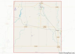
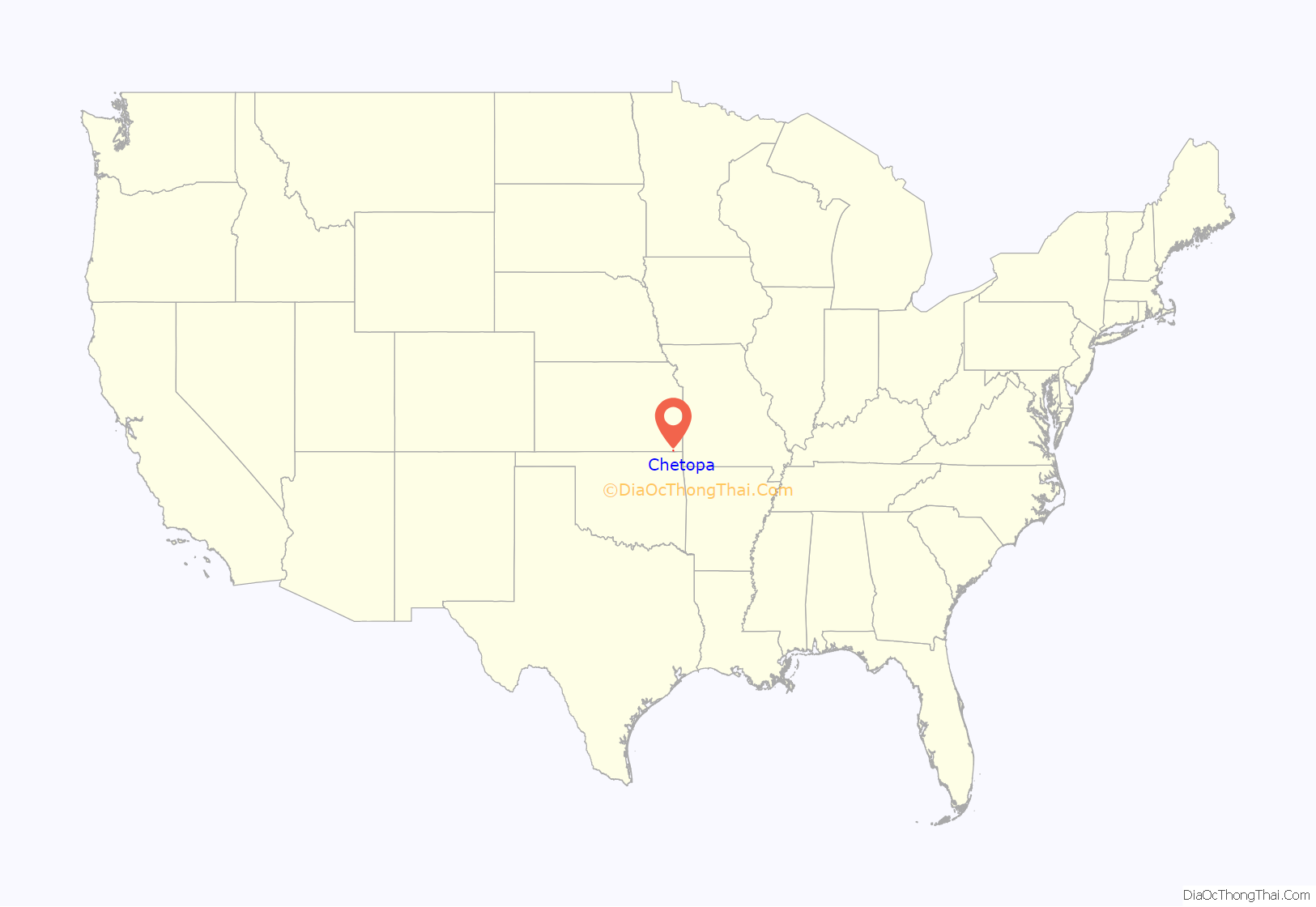
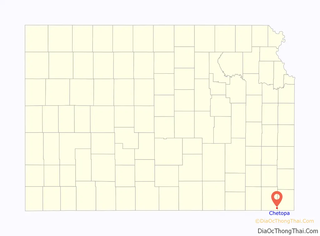
Chetopa location map. Where is Chetopa city?
History
The community began as an Osage village, named after its Chief Chetopah, whose name in the Osage language signifies “four lodges,” was an advocate of peace, the leading chief of the Little Osage tribe, and one of the chief counselors of the Osage Nation.
In 1847 a trading post to exchange goods with the Osage Nation was established here by Larkin McGhee. By the time of McGhee’s arrival there were three other Euro-American families plus two families with a Euro-American husband and a Cherokee wife at Chetopa. There were also many Osage there.
Chetopa was the site of a September 18, 1861 battle between the 6th Kansas Cavalry under the direction of James G. Blunt and pro-slavery raiders led by John Allan Mathews, whose wife was an Osage and was culturally identified with the Osages.
The first post office in Chetopa was established in April 1867. In 1880, Postmaster J.M. Cavaness petitioned the removal of the ending “h” in the original spelling to become Chetopa.
Chetopa was the destination of the Nevada and Minden Railway, completed in 1886. The town attracted that line, which ran southwest from Nevada, Missouri through Pittsburg, Kansas, when it donated land for right-of-way and year/depot purposes. Much of the trackage has since been abandoned.
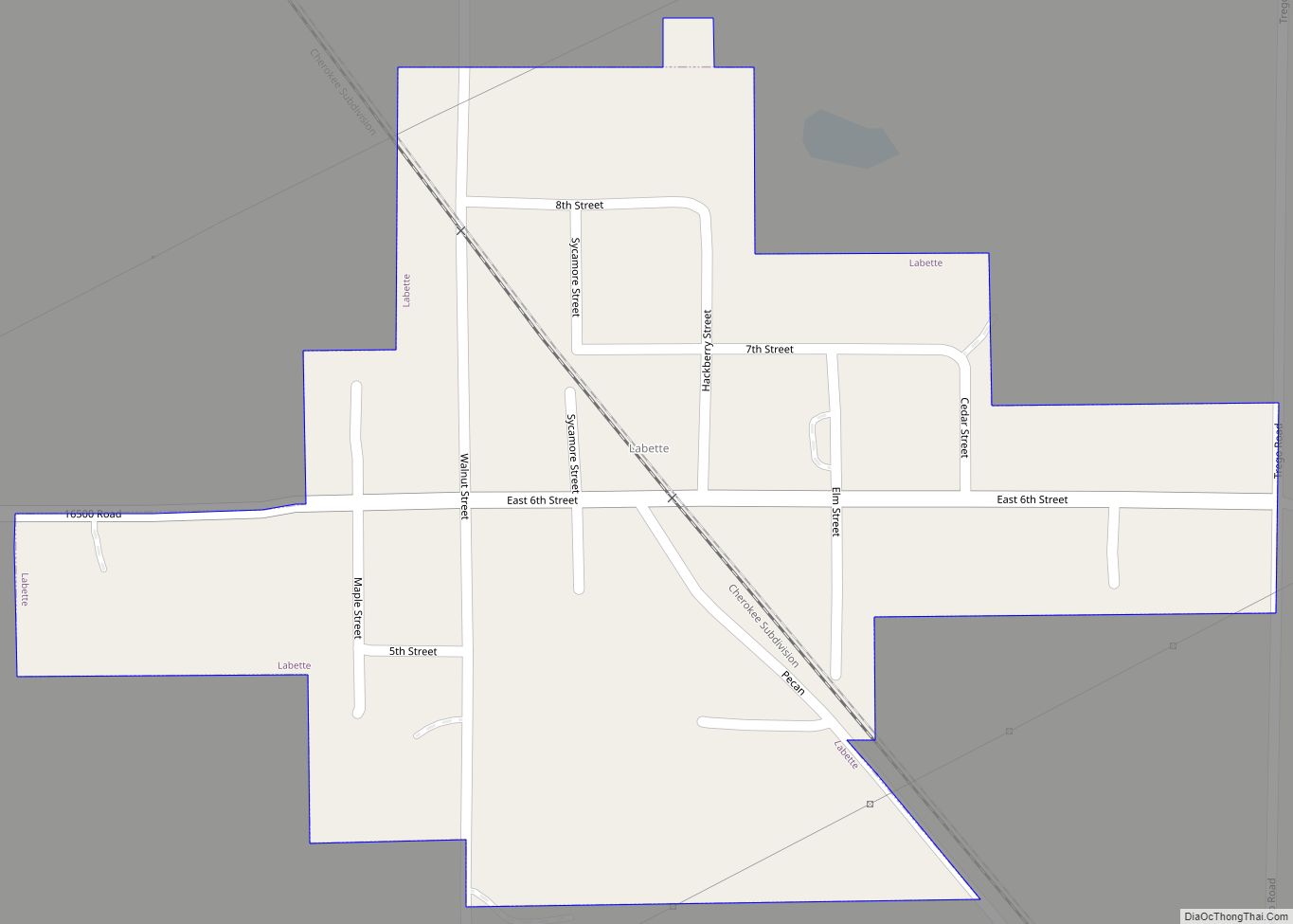
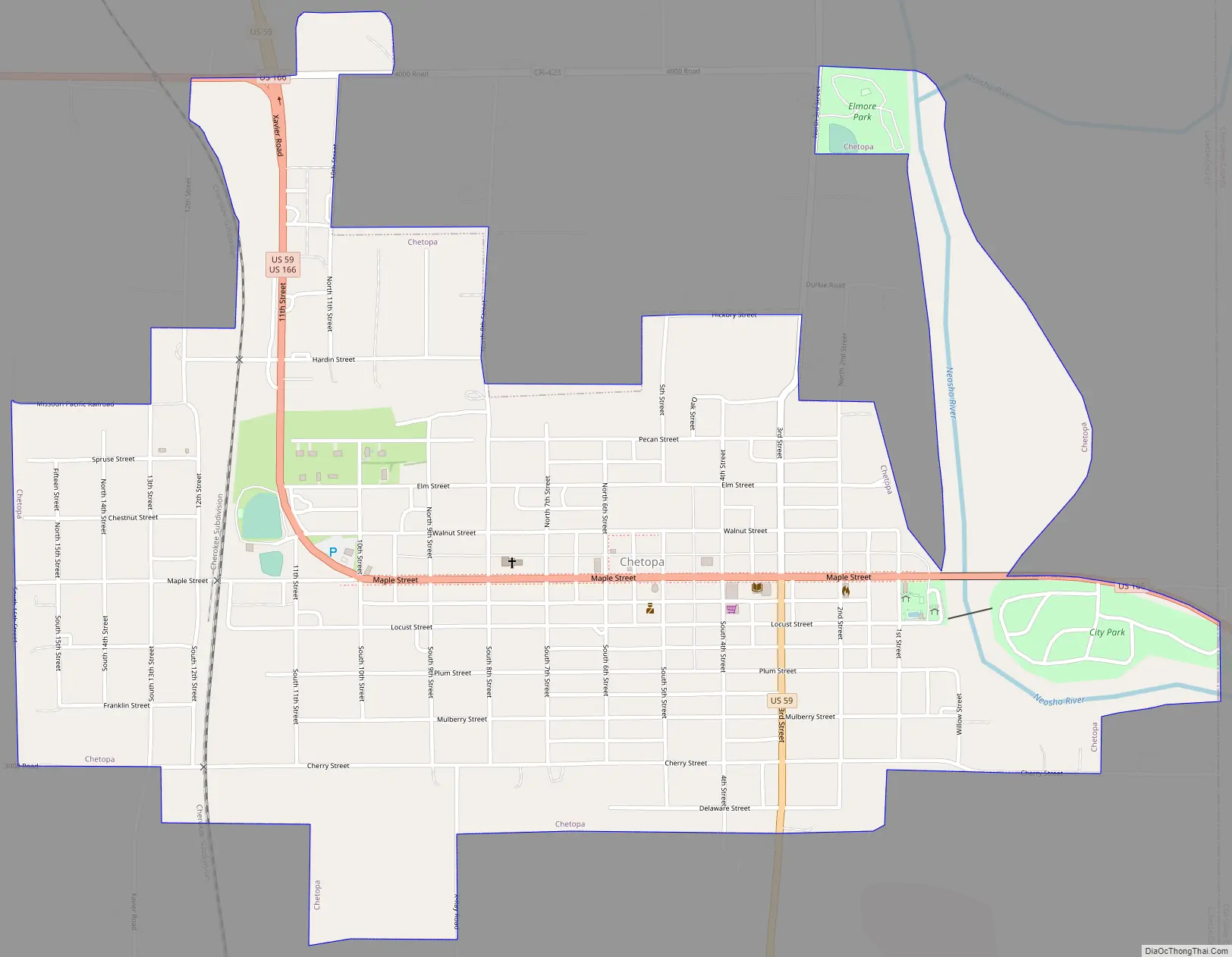
Chetopa Road Map
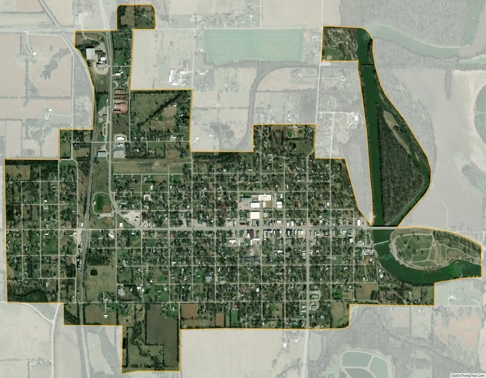
Chetopa city Satellite Map
Geography
Chetopa is located at 37°2′15″N 95°5′31″W / 37.03750°N 95.09194°W / 37.03750; -95.09194 (37.037452, -95.091892). According to the United States Census Bureau, the city has a total area of 1.42 square miles (3.68 km), of which 1.34 square miles (3.47 km) is land and 0.08 square miles (0.21 km) is water.
Climate
The climate in this area is characterized by hot, humid summers and generally mild to cool winters. According to the Köppen Climate Classification system, Chetopa has a humid subtropical climate, abbreviated “Cfa” on climate maps.
See also
Map of Kansas State and its subdivision:- Allen
- Anderson
- Atchison
- Barber
- Barton
- Bourbon
- Brown
- Butler
- Chase
- Chautauqua
- Cherokee
- Cheyenne
- Clark
- Clay
- Cloud
- Coffey
- Comanche
- Cowley
- Crawford
- Decatur
- Dickinson
- Doniphan
- Douglas
- Edwards
- Elk
- Ellis
- Ellsworth
- Finney
- Ford
- Franklin
- Geary
- Gove
- Graham
- Grant
- Gray
- Greeley
- Greenwood
- Hamilton
- Harper
- Harvey
- Haskell
- Hodgeman
- Jackson
- Jefferson
- Jewell
- Johnson
- Kearny
- Kingman
- Kiowa
- Labette
- Lane
- Leavenworth
- Lincoln
- Linn
- Logan
- Lyon
- Marion
- Marshall
- McPherson
- Meade
- Miami
- Mitchell
- Montgomery
- Morris
- Morton
- Nemaha
- Neosho
- Ness
- Norton
- Osage
- Osborne
- Ottawa
- Pawnee
- Phillips
- Pottawatomie
- Pratt
- Rawlins
- Reno
- Republic
- Rice
- Riley
- Rooks
- Rush
- Russell
- Saline
- Scott
- Sedgwick
- Seward
- Shawnee
- Sheridan
- Sherman
- Smith
- Stafford
- Stanton
- Stevens
- Sumner
- Thomas
- Trego
- Wabaunsee
- Wallace
- Washington
- Wichita
- Wilson
- Woodson
- Wyandotte
- Alabama
- Alaska
- Arizona
- Arkansas
- California
- Colorado
- Connecticut
- Delaware
- District of Columbia
- Florida
- Georgia
- Hawaii
- Idaho
- Illinois
- Indiana
- Iowa
- Kansas
- Kentucky
- Louisiana
- Maine
- Maryland
- Massachusetts
- Michigan
- Minnesota
- Mississippi
- Missouri
- Montana
- Nebraska
- Nevada
- New Hampshire
- New Jersey
- New Mexico
- New York
- North Carolina
- North Dakota
- Ohio
- Oklahoma
- Oregon
- Pennsylvania
- Rhode Island
- South Carolina
- South Dakota
- Tennessee
- Texas
- Utah
- Vermont
- Virginia
- Washington
- West Virginia
- Wisconsin
- Wyoming