Schoenchen is a city in Ellis County, Kansas, United States. As of the 2020 census, the population of the city was 170.
| Name: | Schoenchen city |
|---|---|
| LSAD Code: | 25 |
| LSAD Description: | city (suffix) |
| State: | Kansas |
| County: | Ellis County |
| Founded: | 1877 |
| Incorporated: | 1935 |
| Elevation: | 1,923 ft (586 m) |
| Total Area: | 0.12 sq mi (0.32 km²) |
| Land Area: | 0.12 sq mi (0.32 km²) |
| Water Area: | 0.00 sq mi (0.00 km²) |
| Total Population: | 170 |
| Population Density: | 1,400/sq mi (530/km²) |
| ZIP code: | 67667 |
| Area code: | 785 |
| FIPS code: | 2063425 |
Online Interactive Map
Click on ![]() to view map in "full screen" mode.
to view map in "full screen" mode.
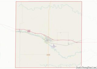
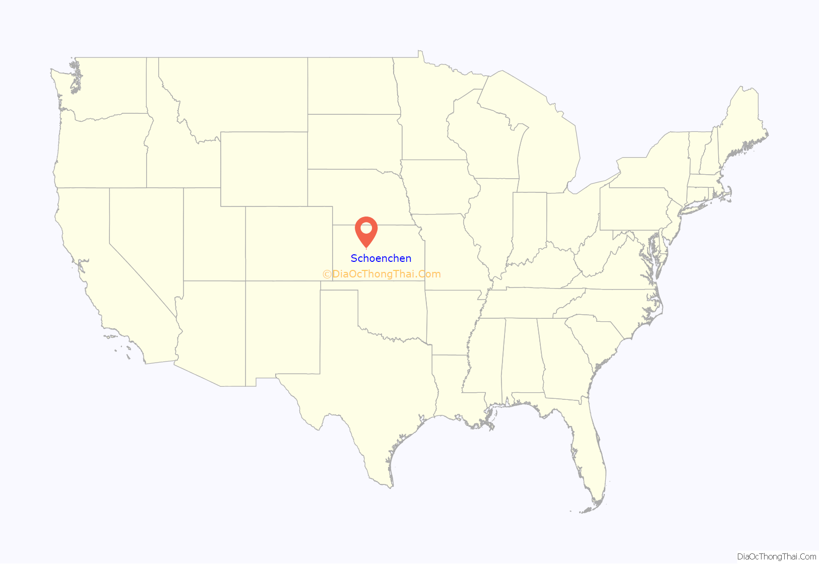
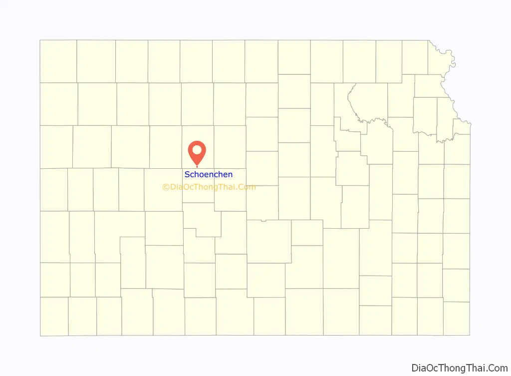
Schoenchen location map. Where is Schoenchen city?
History
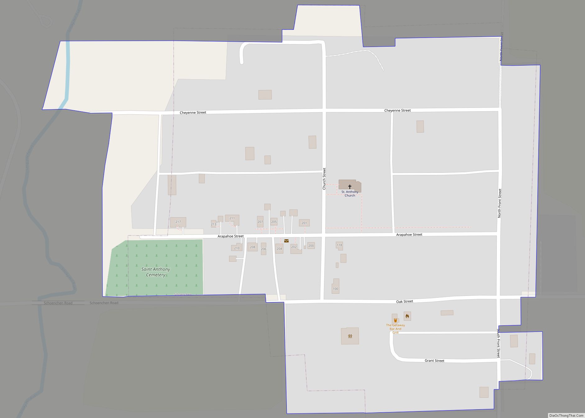
Following a dispute over the proposed relocation of nearby Liebenthal, Volga German settlers founded Schoenchen in April 1877. They originally named the community San Antonio, but then renamed it Schoenchen after one of the villages they immigrated from in Russia. The settlers built their first church in 1880, replacing it in 1901 with a permanent structure, St. Anthony Catholic Church, which still stands. The community’s first post office opened in 1902.
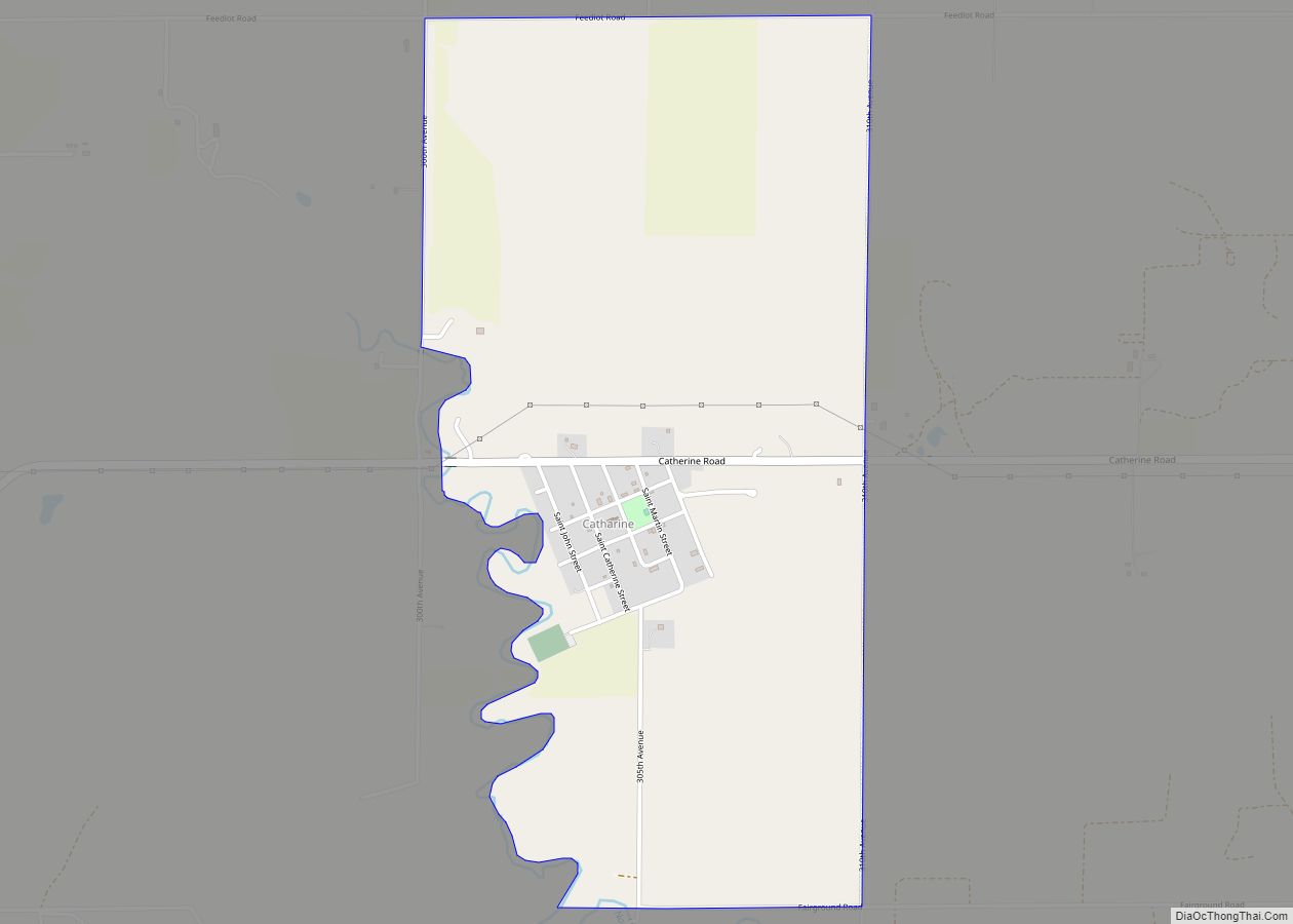
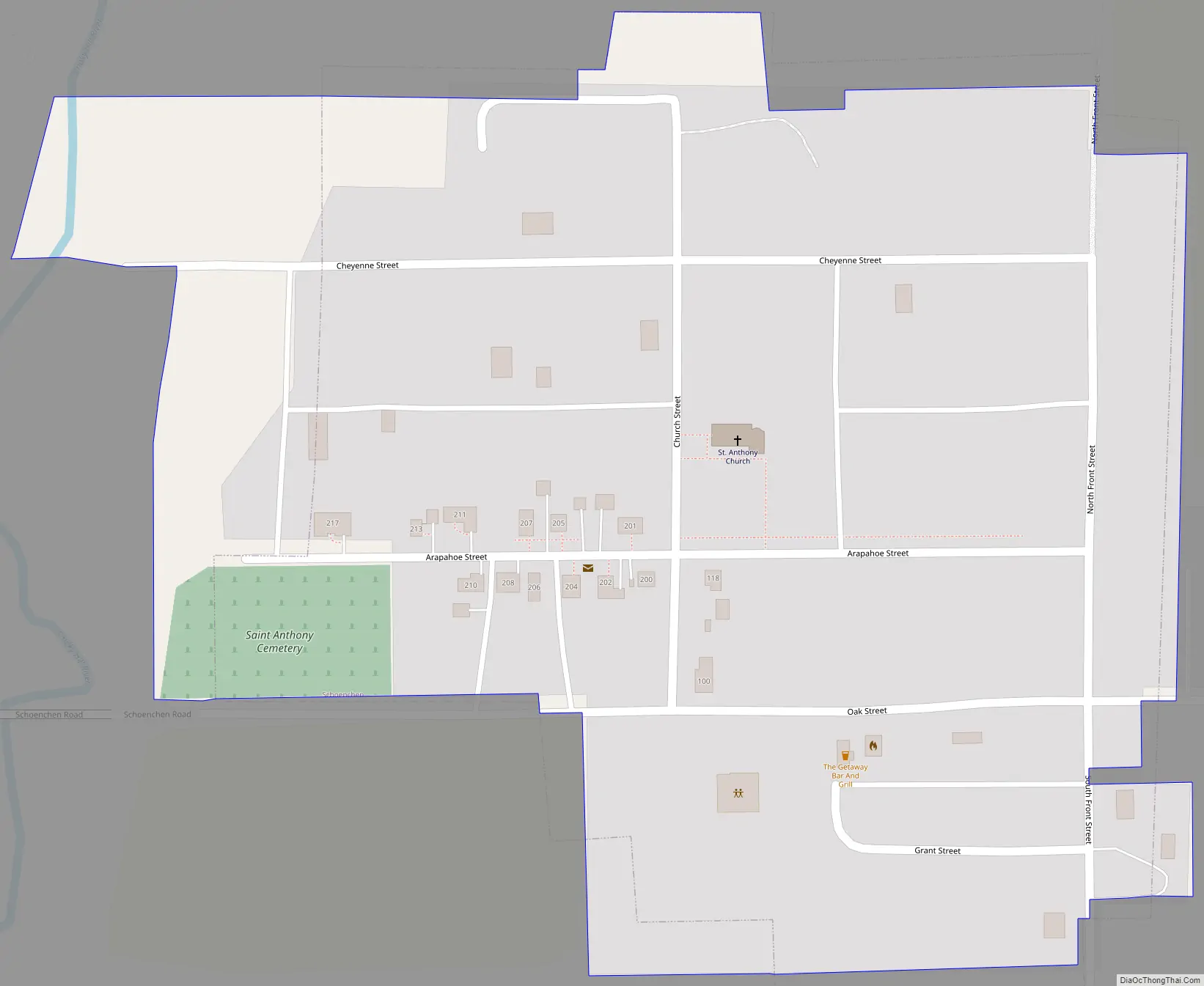
Schoenchen Road Map
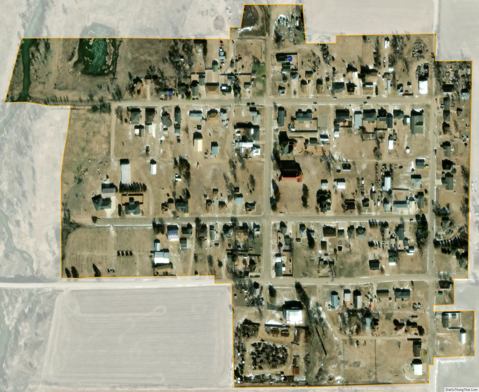
Schoenchen city Satellite Map
Geography
Schoenchen is located at 38°42′48″N 99°19′51″W / 38.713244°N 99.330760°W / 38.713244; -99.330760 (38.713244, -99.330760) at an elevation of 1,926 feet (587 m). Located one-half mile west of U.S. Route 183, it is roughly 11 miles (18 km) south of Hays, the county seat, 137 miles (220 km) northwest of Wichita, and 264 miles (425 km) west of Kansas City.
Schoenchen lies on the south bank of the Smoky Hill River in the Smoky Hills region of the Great Plains. The confluence of the river and one of its tributaries, Lookout Hollow, is immediately northwest of the community.
According to the United States Census Bureau, the city has a total area of 0.11 square miles (0.28 km), all of it land.
Climate
The climate in this area is characterized by hot, humid summers and generally mild to cool winters. According to the Köppen Climate Classification system, Schoenchen has a humid subtropical climate, abbreviated “Cfa” on climate maps.
See also
Map of Kansas State and its subdivision:- Allen
- Anderson
- Atchison
- Barber
- Barton
- Bourbon
- Brown
- Butler
- Chase
- Chautauqua
- Cherokee
- Cheyenne
- Clark
- Clay
- Cloud
- Coffey
- Comanche
- Cowley
- Crawford
- Decatur
- Dickinson
- Doniphan
- Douglas
- Edwards
- Elk
- Ellis
- Ellsworth
- Finney
- Ford
- Franklin
- Geary
- Gove
- Graham
- Grant
- Gray
- Greeley
- Greenwood
- Hamilton
- Harper
- Harvey
- Haskell
- Hodgeman
- Jackson
- Jefferson
- Jewell
- Johnson
- Kearny
- Kingman
- Kiowa
- Labette
- Lane
- Leavenworth
- Lincoln
- Linn
- Logan
- Lyon
- Marion
- Marshall
- McPherson
- Meade
- Miami
- Mitchell
- Montgomery
- Morris
- Morton
- Nemaha
- Neosho
- Ness
- Norton
- Osage
- Osborne
- Ottawa
- Pawnee
- Phillips
- Pottawatomie
- Pratt
- Rawlins
- Reno
- Republic
- Rice
- Riley
- Rooks
- Rush
- Russell
- Saline
- Scott
- Sedgwick
- Seward
- Shawnee
- Sheridan
- Sherman
- Smith
- Stafford
- Stanton
- Stevens
- Sumner
- Thomas
- Trego
- Wabaunsee
- Wallace
- Washington
- Wichita
- Wilson
- Woodson
- Wyandotte
- Alabama
- Alaska
- Arizona
- Arkansas
- California
- Colorado
- Connecticut
- Delaware
- District of Columbia
- Florida
- Georgia
- Hawaii
- Idaho
- Illinois
- Indiana
- Iowa
- Kansas
- Kentucky
- Louisiana
- Maine
- Maryland
- Massachusetts
- Michigan
- Minnesota
- Mississippi
- Missouri
- Montana
- Nebraska
- Nevada
- New Hampshire
- New Jersey
- New Mexico
- New York
- North Carolina
- North Dakota
- Ohio
- Oklahoma
- Oregon
- Pennsylvania
- Rhode Island
- South Carolina
- South Dakota
- Tennessee
- Texas
- Utah
- Vermont
- Virginia
- Washington
- West Virginia
- Wisconsin
- Wyoming