Viola is a city in Sedgwick County, Kansas, United States. As of the 2020 census, the population of the city was 115.
| Name: | Viola city |
|---|---|
| LSAD Code: | 25 |
| LSAD Description: | city (suffix) |
| State: | Kansas |
| County: | Sedgwick County |
| Founded: | 1870s |
| Incorporated: | 1909 |
| Elevation: | 1,339 ft (408 m) |
| Total Area: | 0.16 sq mi (0.43 km²) |
| Land Area: | 0.16 sq mi (0.43 km²) |
| Water Area: | 0.00 sq mi (0.00 km²) |
| Total Population: | 115 |
| Population Density: | 720/sq mi (270/km²) |
| ZIP code: | 67149 |
| Area code: | 620 |
| FIPS code: | 2074025 |
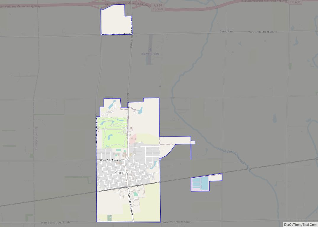
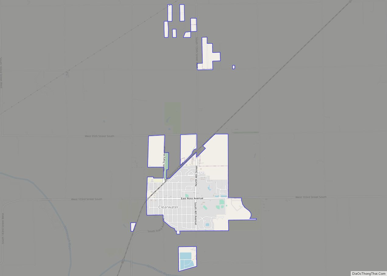
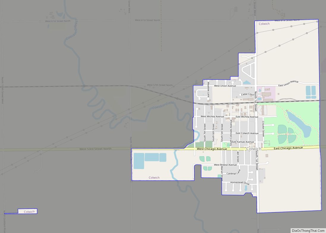
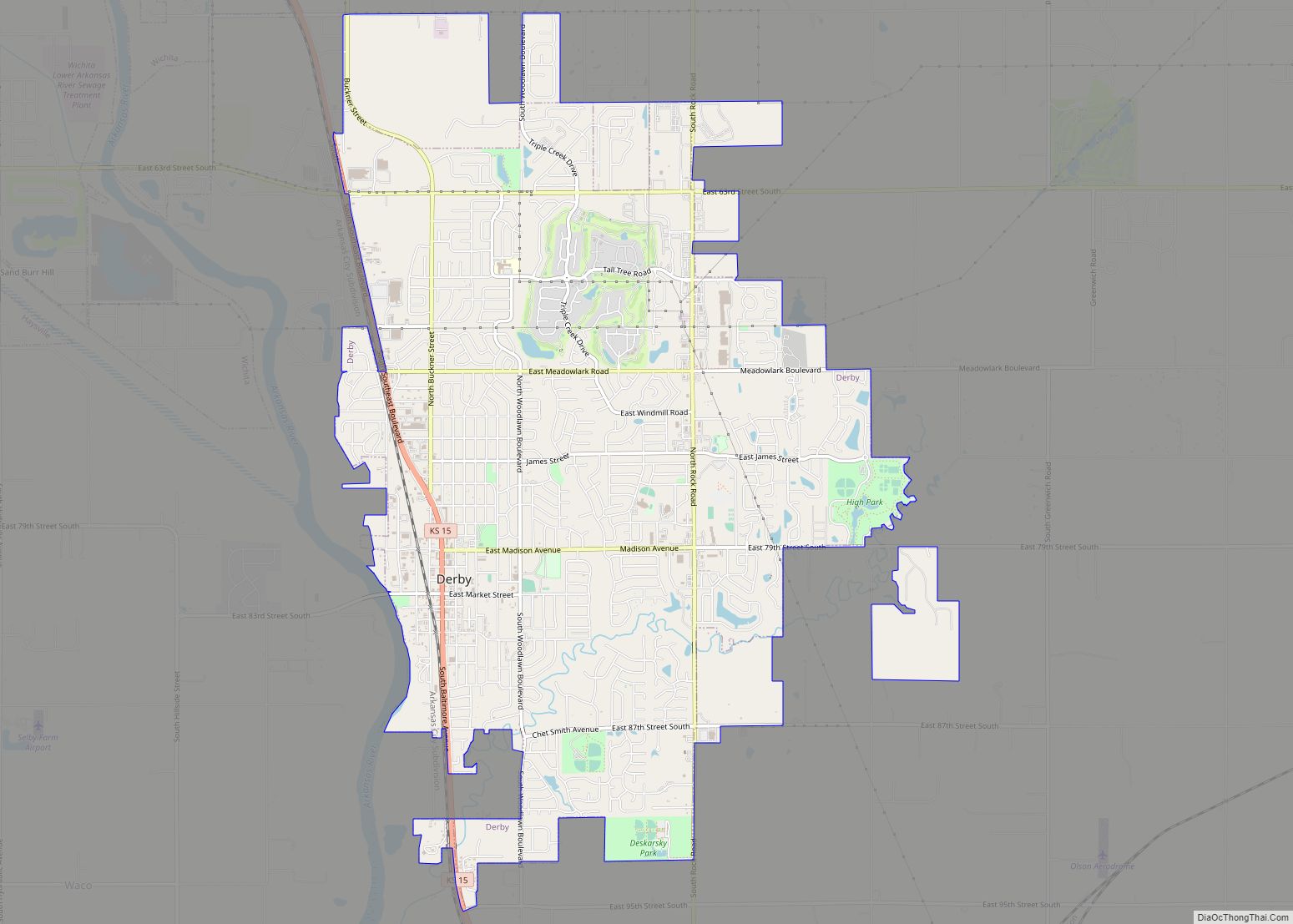
Online Interactive Map
Click on ![]() to view map in "full screen" mode.
to view map in "full screen" mode.
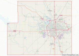
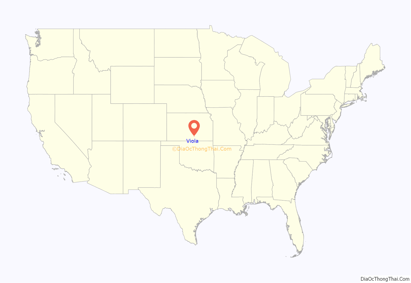
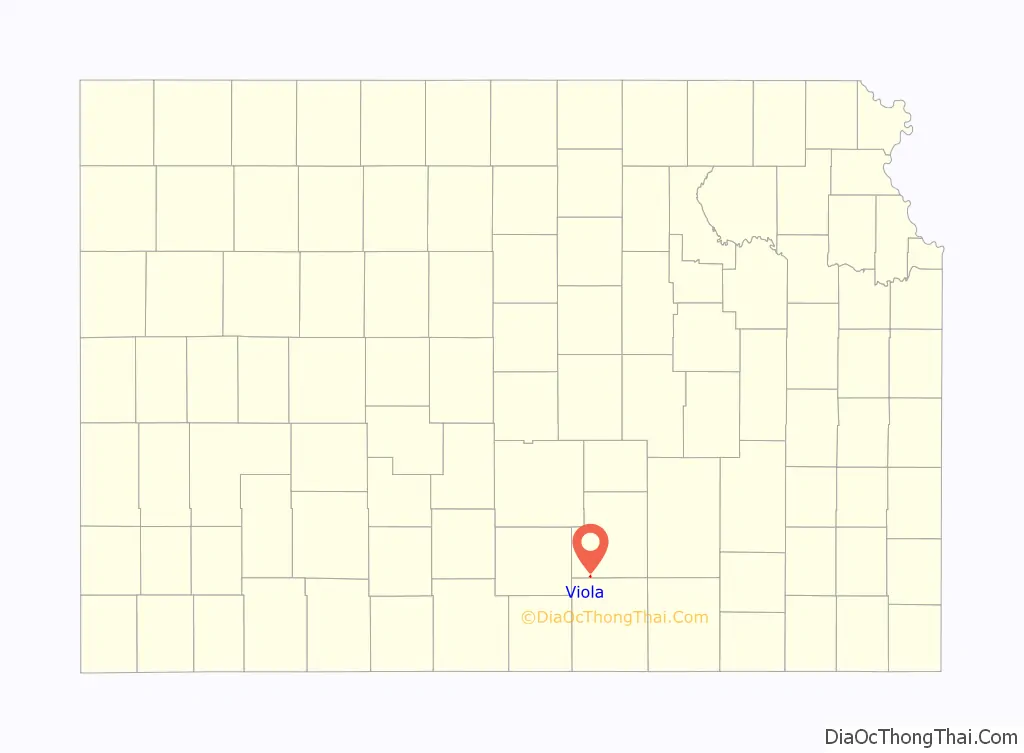
Viola location map. Where is Viola city?
History
Viola had its start when the Englewood branch of the Santa Fe railroad was extended to that point.
The first post office at Viola was established in 1877, but the post office was called Peotone until 1899.
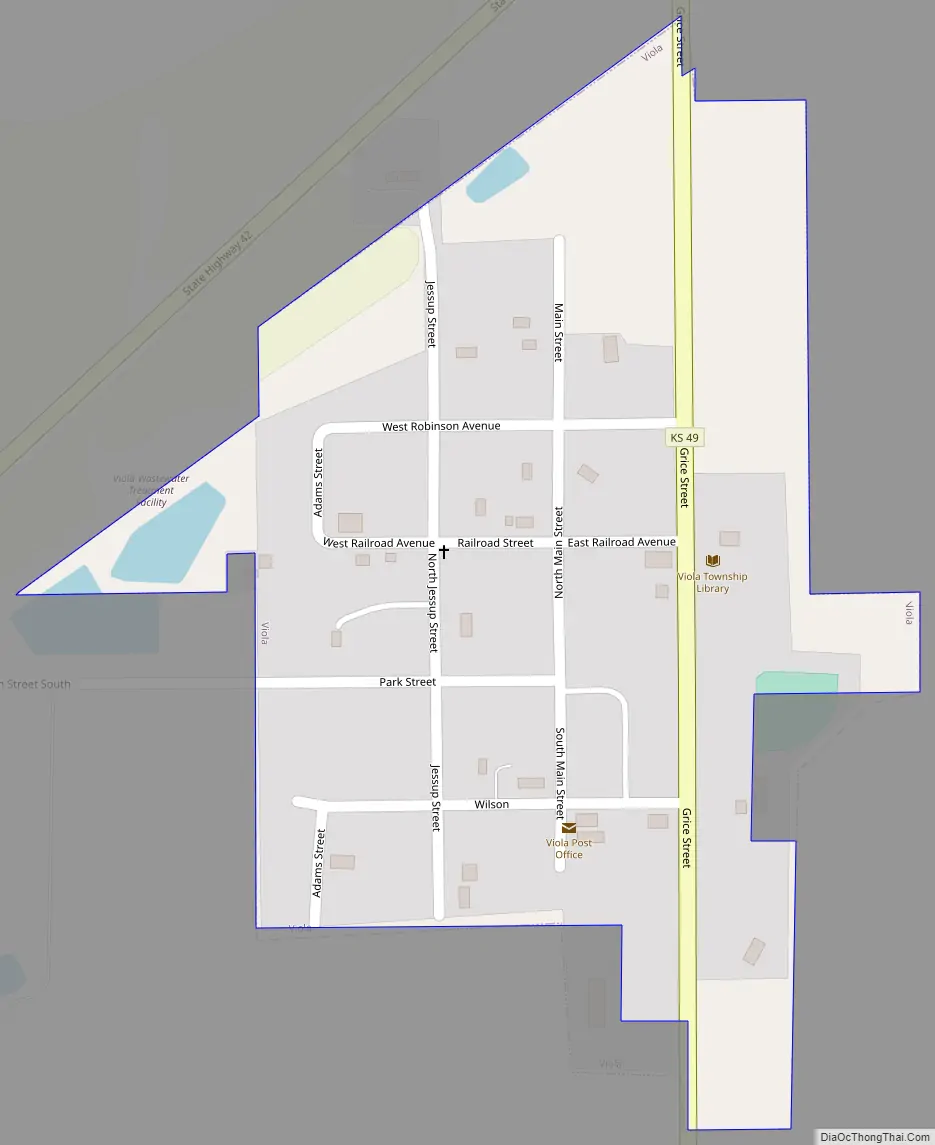
Viola Road Map
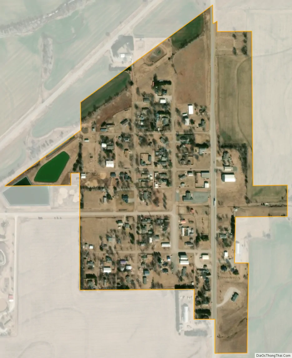
Viola city Satellite Map
Geography
Viola is located at 37°29′1″N 97°38′42″W / 37.48361°N 97.64500°W / 37.48361; -97.64500 (37.483526, -97.644918). It is southwest of Wichita on Highway 42 at the intersection of Highway 49. According to the United States Census Bureau, the city has a total area of 0.16 square miles (0.41 km), all of it land.
See also
Map of Kansas State and its subdivision:- Allen
- Anderson
- Atchison
- Barber
- Barton
- Bourbon
- Brown
- Butler
- Chase
- Chautauqua
- Cherokee
- Cheyenne
- Clark
- Clay
- Cloud
- Coffey
- Comanche
- Cowley
- Crawford
- Decatur
- Dickinson
- Doniphan
- Douglas
- Edwards
- Elk
- Ellis
- Ellsworth
- Finney
- Ford
- Franklin
- Geary
- Gove
- Graham
- Grant
- Gray
- Greeley
- Greenwood
- Hamilton
- Harper
- Harvey
- Haskell
- Hodgeman
- Jackson
- Jefferson
- Jewell
- Johnson
- Kearny
- Kingman
- Kiowa
- Labette
- Lane
- Leavenworth
- Lincoln
- Linn
- Logan
- Lyon
- Marion
- Marshall
- McPherson
- Meade
- Miami
- Mitchell
- Montgomery
- Morris
- Morton
- Nemaha
- Neosho
- Ness
- Norton
- Osage
- Osborne
- Ottawa
- Pawnee
- Phillips
- Pottawatomie
- Pratt
- Rawlins
- Reno
- Republic
- Rice
- Riley
- Rooks
- Rush
- Russell
- Saline
- Scott
- Sedgwick
- Seward
- Shawnee
- Sheridan
- Sherman
- Smith
- Stafford
- Stanton
- Stevens
- Sumner
- Thomas
- Trego
- Wabaunsee
- Wallace
- Washington
- Wichita
- Wilson
- Woodson
- Wyandotte
- Alabama
- Alaska
- Arizona
- Arkansas
- California
- Colorado
- Connecticut
- Delaware
- District of Columbia
- Florida
- Georgia
- Hawaii
- Idaho
- Illinois
- Indiana
- Iowa
- Kansas
- Kentucky
- Louisiana
- Maine
- Maryland
- Massachusetts
- Michigan
- Minnesota
- Mississippi
- Missouri
- Montana
- Nebraska
- Nevada
- New Hampshire
- New Jersey
- New Mexico
- New York
- North Carolina
- North Dakota
- Ohio
- Oklahoma
- Oregon
- Pennsylvania
- Rhode Island
- South Carolina
- South Dakota
- Tennessee
- Texas
- Utah
- Vermont
- Virginia
- Washington
- West Virginia
- Wisconsin
- Wyoming