Waldo is a city in Waldo Township, Russell County, Kansas, United States. As of the 2020 census, the population of the city was 30.
| Name: | Waldo city |
|---|---|
| LSAD Code: | 25 |
| LSAD Description: | city (suffix) |
| State: | Kansas |
| County: | Russell County |
| Founded: | 1888 |
| Incorporated: | 1911 |
| Elevation: | 1,713 ft (522 m) |
| Total Area: | 0.38 sq mi (0.97 km²) |
| Land Area: | 0.38 sq mi (0.97 km²) |
| Water Area: | 0.00 sq mi (0.00 km²) |
| Total Population: | 30 |
| Population Density: | 79/sq mi (31/km²) |
| ZIP code: | 67673 |
| Area code: | 785 |
| FIPS code: | 2074575 |
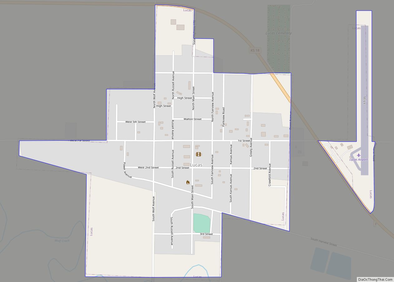
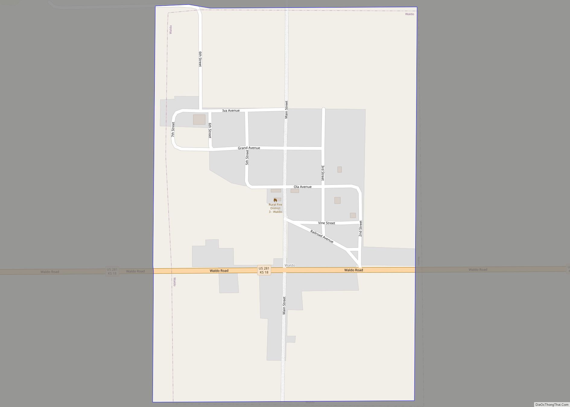
Online Interactive Map
Click on ![]() to view map in "full screen" mode.
to view map in "full screen" mode.
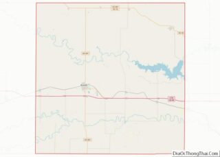
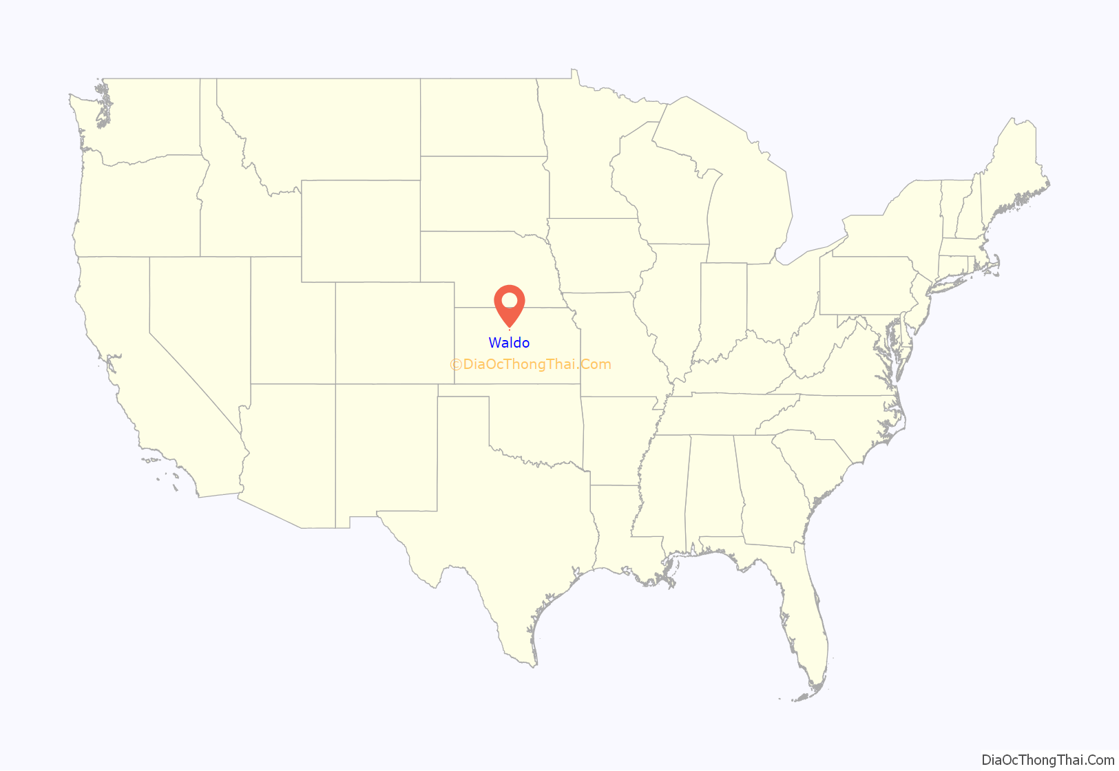
Waldo location map. Where is Waldo city?
History
The Union Town Company established the town of Waldo on October 1, 1888, having acquired 280 acres of land on a line of the Union Pacific Railroad. The community grew over the following decades, reaching a population of approximately 300 by 1915. A small business community, including a bank, stores, and three grain elevators, developed during the 1900s. The town served as an agricultural shipping and receiving point for the surrounding area. Waldo incorporated as a city in May 1911.
Since the 1930s, the population of the community has gradually declined. Waldo High School closed in 1964, followed by Waldo Grade School in 1979. In 1993, Union Pacific abandoned its rail line through Waldo, ending rail service to the community.
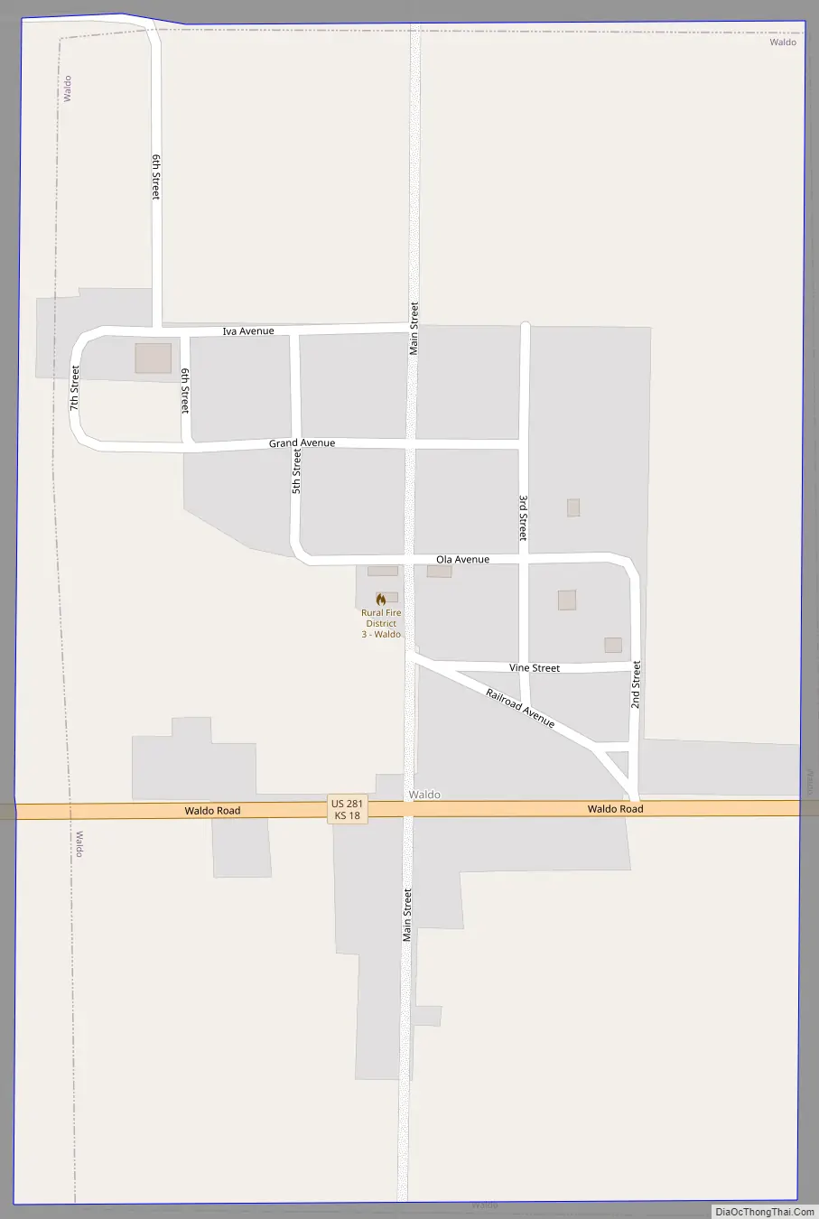
Waldo Road Map
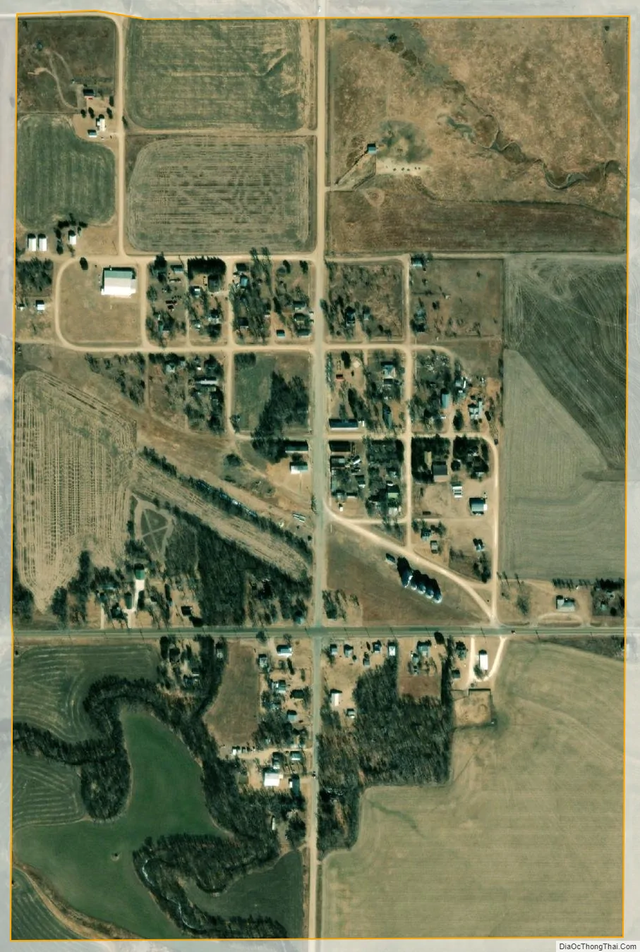
Waldo city Satellite Map
Geography
Waldo is located at 39°7′13″N 98°47′52″W / 39.12028°N 98.79778°W / 39.12028; -98.79778 (39.120162, -98.797863) at an elevation of 1,713 feet (522 m). The community is on U.S. Route 281 in north-central Kansas 122 miles (196 km) northwest of Wichita, 224 miles (360 km) west of Kansas City, and 16 miles (26 km) north-northeast of Russell, the county seat.
Located in the Smoky Hills region of the Great Plains, Waldo sits on the east bank of the West Fork of Wolf Creek, part of the Saline River watershed.
According to the United States Census Bureau, the city has a total area of 0.36 square miles (0.93 km), all of it land.
See also
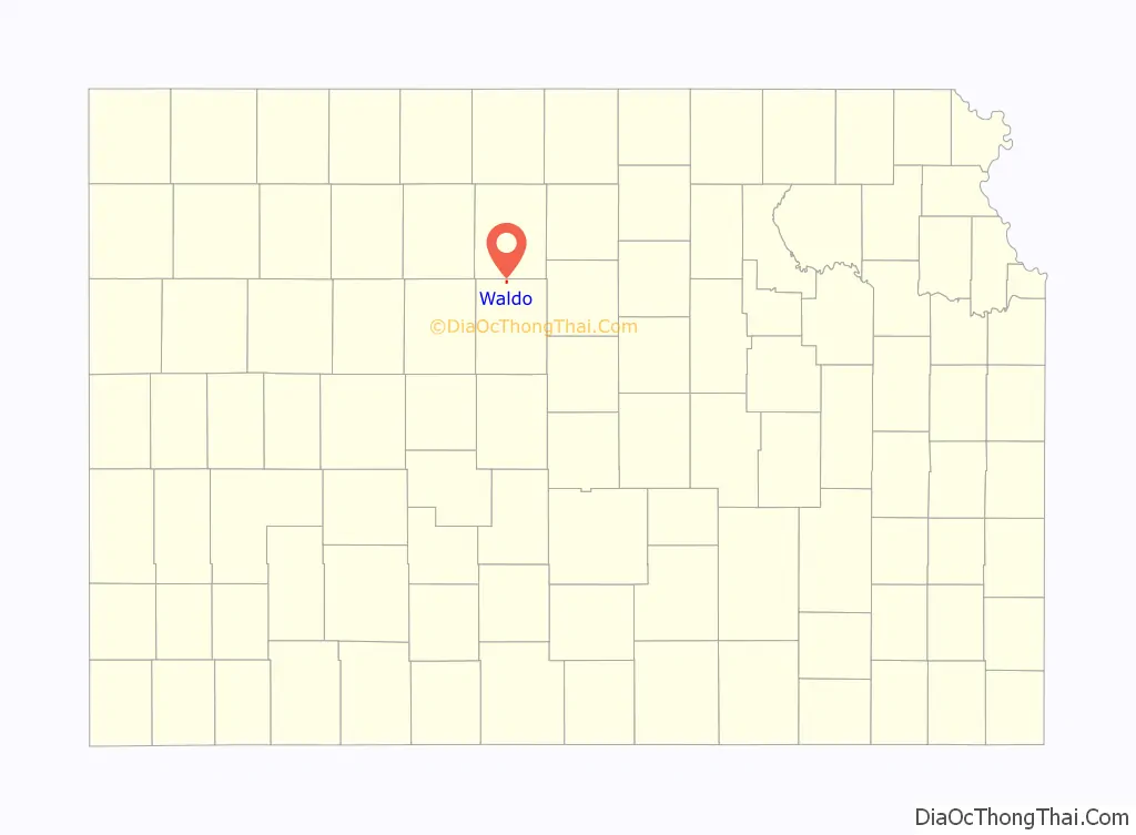
Map of Kansas State and its subdivision:- Allen
- Anderson
- Atchison
- Barber
- Barton
- Bourbon
- Brown
- Butler
- Chase
- Chautauqua
- Cherokee
- Cheyenne
- Clark
- Clay
- Cloud
- Coffey
- Comanche
- Cowley
- Crawford
- Decatur
- Dickinson
- Doniphan
- Douglas
- Edwards
- Elk
- Ellis
- Ellsworth
- Finney
- Ford
- Franklin
- Geary
- Gove
- Graham
- Grant
- Gray
- Greeley
- Greenwood
- Hamilton
- Harper
- Harvey
- Haskell
- Hodgeman
- Jackson
- Jefferson
- Jewell
- Johnson
- Kearny
- Kingman
- Kiowa
- Labette
- Lane
- Leavenworth
- Lincoln
- Linn
- Logan
- Lyon
- Marion
- Marshall
- McPherson
- Meade
- Miami
- Mitchell
- Montgomery
- Morris
- Morton
- Nemaha
- Neosho
- Ness
- Norton
- Osage
- Osborne
- Ottawa
- Pawnee
- Phillips
- Pottawatomie
- Pratt
- Rawlins
- Reno
- Republic
- Rice
- Riley
- Rooks
- Rush
- Russell
- Saline
- Scott
- Sedgwick
- Seward
- Shawnee
- Sheridan
- Sherman
- Smith
- Stafford
- Stanton
- Stevens
- Sumner
- Thomas
- Trego
- Wabaunsee
- Wallace
- Washington
- Wichita
- Wilson
- Woodson
- Wyandotte
- Alabama
- Alaska
- Arizona
- Arkansas
- California
- Colorado
- Connecticut
- Delaware
- District of Columbia
- Florida
- Georgia
- Hawaii
- Idaho
- Illinois
- Indiana
- Iowa
- Kansas
- Kentucky
- Louisiana
- Maine
- Maryland
- Massachusetts
- Michigan
- Minnesota
- Mississippi
- Missouri
- Montana
- Nebraska
- Nevada
- New Hampshire
- New Jersey
- New Mexico
- New York
- North Carolina
- North Dakota
- Ohio
- Oklahoma
- Oregon
- Pennsylvania
- Rhode Island
- South Carolina
- South Dakota
- Tennessee
- Texas
- Utah
- Vermont
- Virginia
- Washington
- West Virginia
- Wisconsin
- Wyoming