Weir is a city in Cherokee County, Kansas, United States. As of the 2020 census, the population of the city was 569.
| Name: | Weir city |
|---|---|
| LSAD Code: | 25 |
| LSAD Description: | city (suffix) |
| State: | Kansas |
| County: | Cherokee County |
| Founded: | 1872 |
| Incorporated: | 1875 |
| Elevation: | 925 ft (282 m) |
| Total Area: | 1.14 sq mi (2.95 km²) |
| Land Area: | 1.14 sq mi (2.95 km²) |
| Water Area: | 0.00 sq mi (0.01 km²) |
| Total Population: | 569 |
| Population Density: | 500/sq mi (190/km²) |
| ZIP code: | 66781 |
| Area code: | 620 |
| FIPS code: | 2076350 |
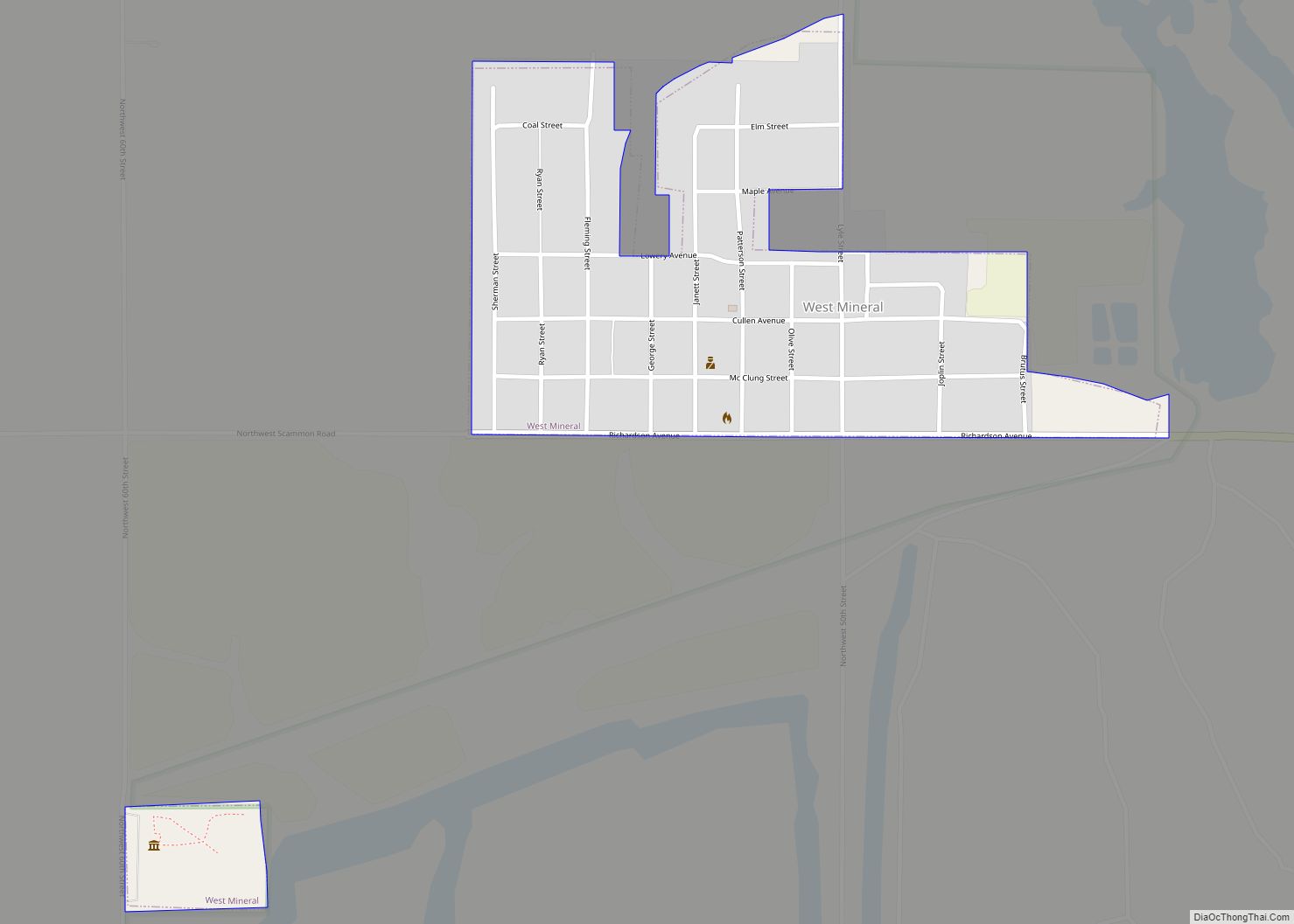
Online Interactive Map
Click on ![]() to view map in "full screen" mode.
to view map in "full screen" mode.
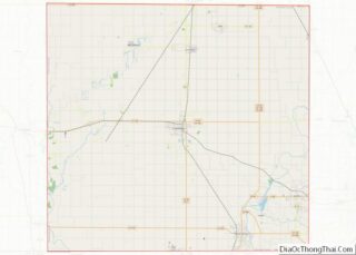
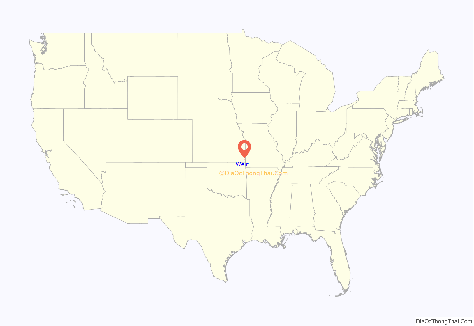
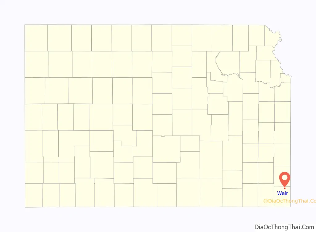
Weir location map. Where is Weir city?
History
Weir was founded in 1872. It is named after landowner T. M. Weir, who donated forty acres as a townsite. The first post office in Weir was established in 1875.
In 1873, the Weir City Zinc Company was the first zinc smelter to open at Weir. Weir was also one of the first locations in Kansas where coal was mined commercially. Weir is, in large part undermined at a depth of about 30 feet where coal was mined from a 4 foot thick vein. In 1899, more than 200 African-American miners traveled to Weir from Pana, Illinois, after being attacked by white union members in what was called the Pana riot during a coal mining strike. They were eager for work and unwilling to return to Alabama, from where they had been recruited.
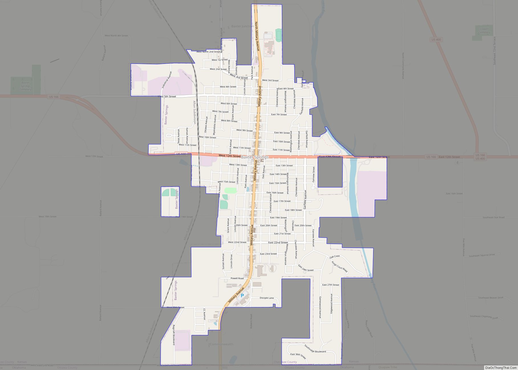
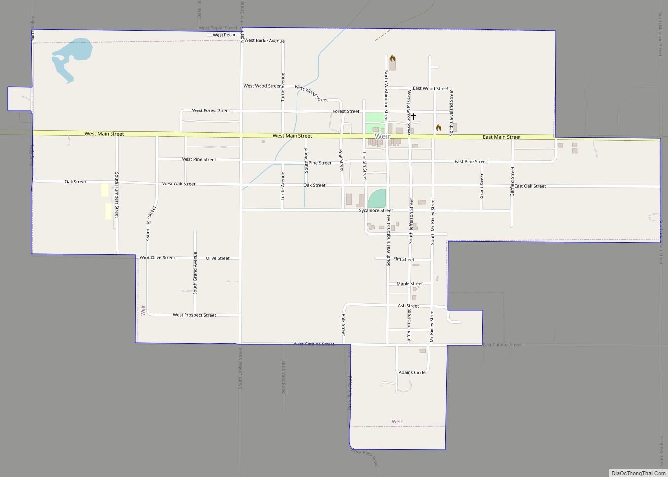
Weir Road Map
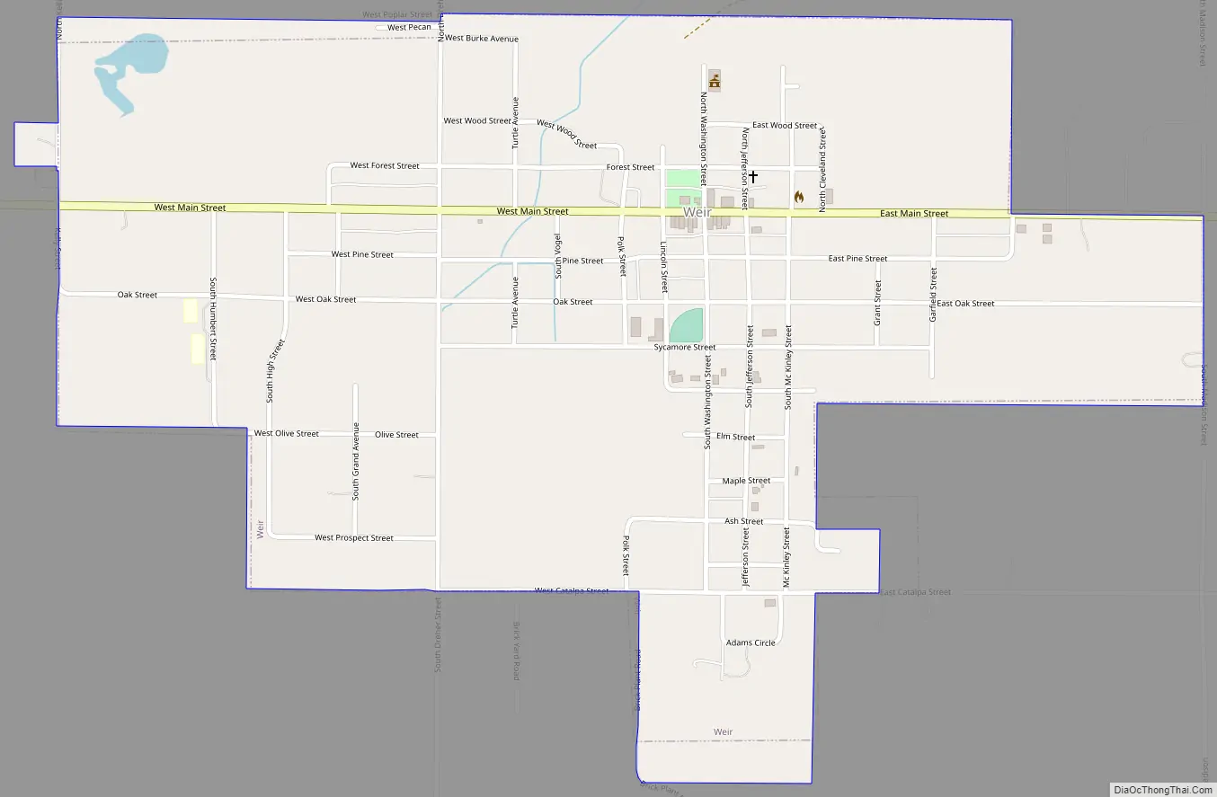
Weir city Satellite Map

Geography
Weir is located at 37°18′32″N 94°46′27″W / 37.30889°N 94.77417°W / 37.30889; -94.77417 (37.308768, −94.774289). According to the United States Census Bureau, the city has a total area of 0.94 square miles (2.43 km), all of it land.
Weir is south of U.S. Route 400 and is located on K-103.
Climate
The climate in this area is characterized by hot, humid summers and generally mild to cool winters. According to the Köppen Climate Classification system, Weir has a humid subtropical climate, abbreviated “Cfa” on climate maps.
See also
Map of Kansas State and its subdivision:- Allen
- Anderson
- Atchison
- Barber
- Barton
- Bourbon
- Brown
- Butler
- Chase
- Chautauqua
- Cherokee
- Cheyenne
- Clark
- Clay
- Cloud
- Coffey
- Comanche
- Cowley
- Crawford
- Decatur
- Dickinson
- Doniphan
- Douglas
- Edwards
- Elk
- Ellis
- Ellsworth
- Finney
- Ford
- Franklin
- Geary
- Gove
- Graham
- Grant
- Gray
- Greeley
- Greenwood
- Hamilton
- Harper
- Harvey
- Haskell
- Hodgeman
- Jackson
- Jefferson
- Jewell
- Johnson
- Kearny
- Kingman
- Kiowa
- Labette
- Lane
- Leavenworth
- Lincoln
- Linn
- Logan
- Lyon
- Marion
- Marshall
- McPherson
- Meade
- Miami
- Mitchell
- Montgomery
- Morris
- Morton
- Nemaha
- Neosho
- Ness
- Norton
- Osage
- Osborne
- Ottawa
- Pawnee
- Phillips
- Pottawatomie
- Pratt
- Rawlins
- Reno
- Republic
- Rice
- Riley
- Rooks
- Rush
- Russell
- Saline
- Scott
- Sedgwick
- Seward
- Shawnee
- Sheridan
- Sherman
- Smith
- Stafford
- Stanton
- Stevens
- Sumner
- Thomas
- Trego
- Wabaunsee
- Wallace
- Washington
- Wichita
- Wilson
- Woodson
- Wyandotte
- Alabama
- Alaska
- Arizona
- Arkansas
- California
- Colorado
- Connecticut
- Delaware
- District of Columbia
- Florida
- Georgia
- Hawaii
- Idaho
- Illinois
- Indiana
- Iowa
- Kansas
- Kentucky
- Louisiana
- Maine
- Maryland
- Massachusetts
- Michigan
- Minnesota
- Mississippi
- Missouri
- Montana
- Nebraska
- Nevada
- New Hampshire
- New Jersey
- New Mexico
- New York
- North Carolina
- North Dakota
- Ohio
- Oklahoma
- Oregon
- Pennsylvania
- Rhode Island
- South Carolina
- South Dakota
- Tennessee
- Texas
- Utah
- Vermont
- Virginia
- Washington
- West Virginia
- Wisconsin
- Wyoming