Ferndale is a city in Oakland County in the U.S. state of Michigan. It forms part of the Detroit metropolitan area. As of the 2020 census, the city population was 19,190. Ferndale is well known in the Detroit area for its LGBT population and progressive policies.
| Name: | Ferndale city |
|---|---|
| LSAD Code: | 25 |
| LSAD Description: | city (suffix) |
| State: | Michigan |
| County: | Oakland County |
| Incorporated: | 1918 (village) 1927 (city) |
| Elevation: | 646 ft (197 m) |
| Land Area: | 3.88 sq mi (10.04 km²) |
| Water Area: | 0.00 sq mi (0.00 km²) |
| Population Density: | 4,949.70/sq mi (1,911.03/km²) |
| Area code: | 248 |
| FIPS code: | 2627880 |
| GNISfeature ID: | 0625911 |
Online Interactive Map
Click on ![]() to view map in "full screen" mode.
to view map in "full screen" mode.
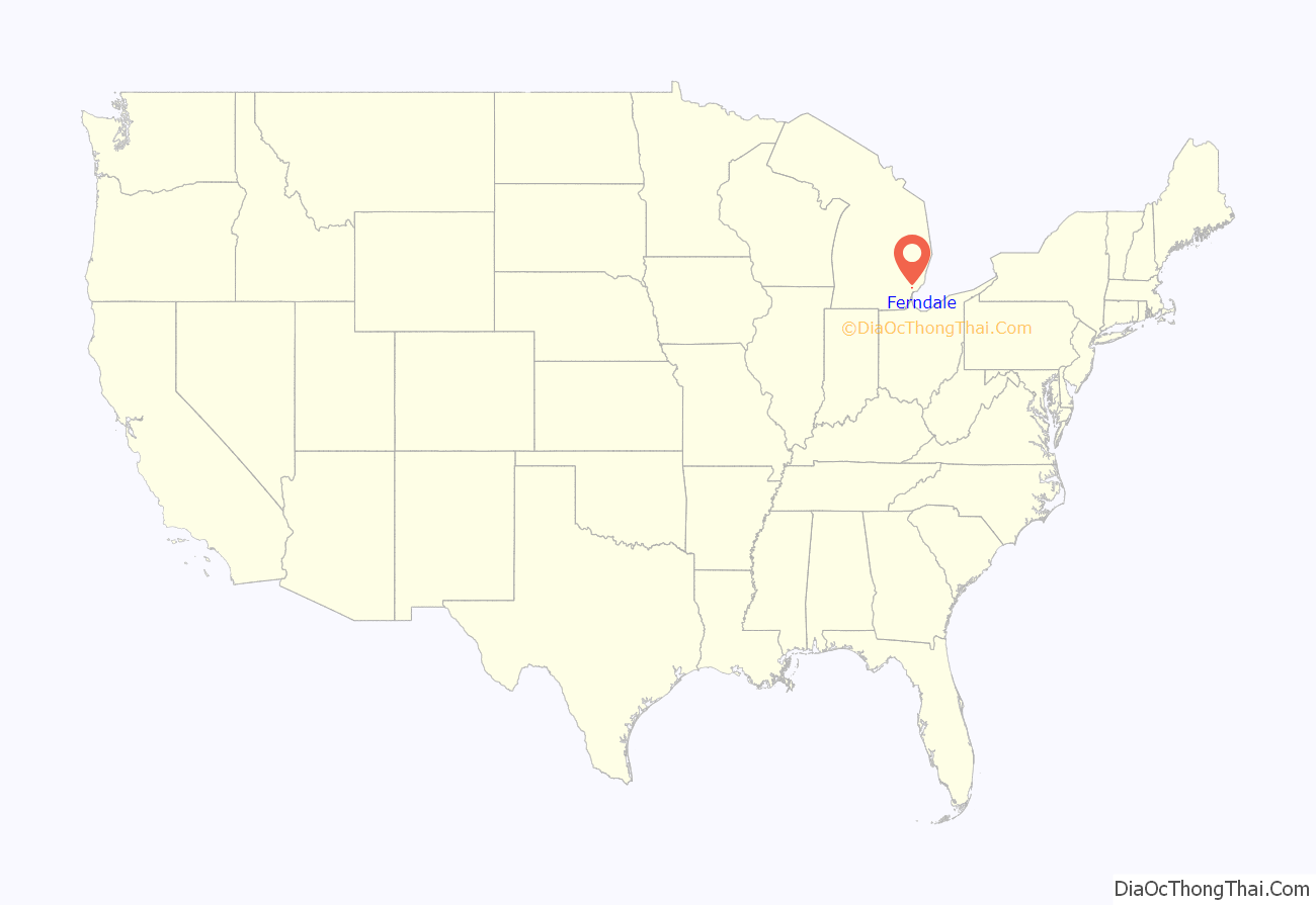
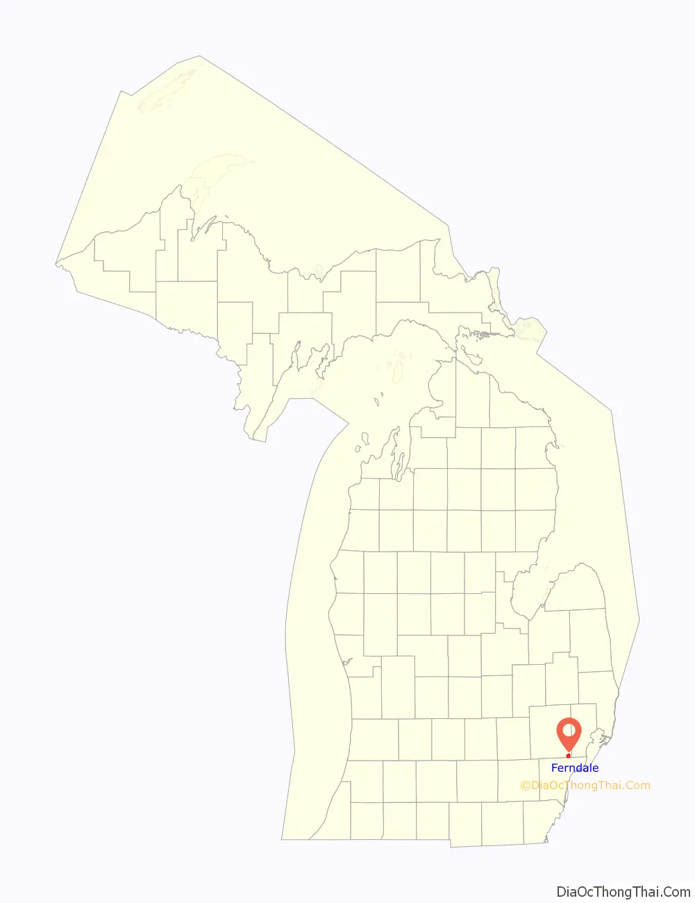
Ferndale location map. Where is Ferndale city?
History
Native Americans were early inhabitants of the area now known as the City of Ferndale. In the 1800s farmers began cultivating the land. After the invention of the automobile and the development of the automotive assembly line, the population of Ferndale increased rapidly.
Ferndale was incorporated into a village in 1918. It was then incorporated into a city on March 7, 1927, by vote of the citizens of the village. It became a bedroom community for Detroit workers, with most of its growth in housing from 1920 to 1951. Through the early 1950s there were trolley (interurban railroad) lines in the median strip of Woodward Avenue from downtown Detroit to Pontiac. These helped the northern suburbs of Detroit grow as bedroom communities as people could take the trolley to shop or work in Detroit.
In the 1970s, the Ferndale suburban community emerged as a place for families to raise children during the “Baby Boom” era, with its elementary schools, a downtown, city parks, active churches and civic groups. Ferndale High was completed in 1958.
Ferndale’s downtown shopping area, 9 Mile Road, featured many busy, popular stores in the 1940s to 1960s, but later went into decline, and many business closed. In recent decades, the downtown area has revitalized. Ferndale’s downtown is formed by two major thoroughfares, Nine Mile Road and Woodward Avenue. Circa 1997 the city made the downtown more pedestrian-friendly by narrowing West Nine Mile Road, the heart of the downtown, to one lane in each direction and adding on-street parking. The result has been a return of pedestrian traffic and an influx of new stores and restaurants. The city has continued to make itself more accessible to people by reducing traffic lanes on Hilton Road and Pinecrest Road, two major local north/south streets, and adding bicycle lanes.
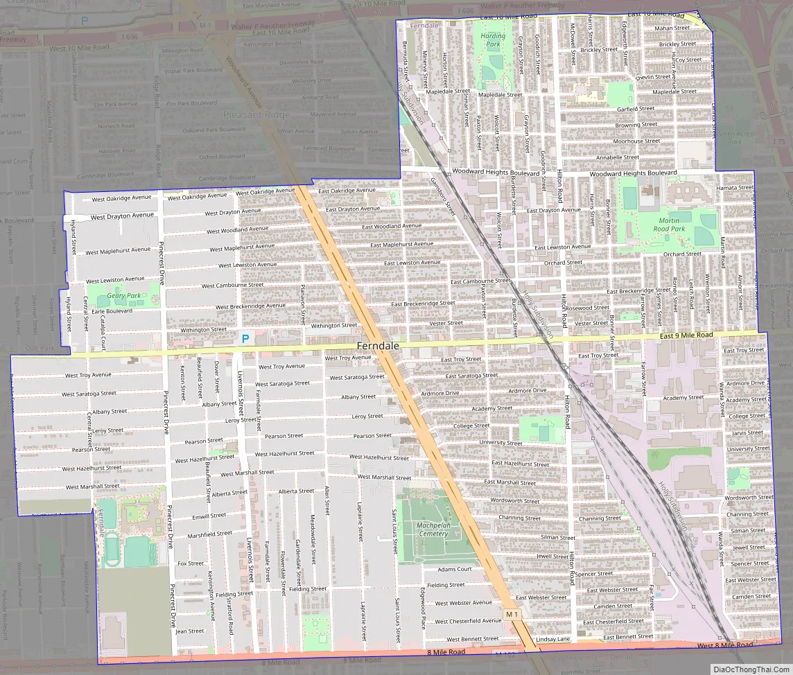
Ferndale Road Map
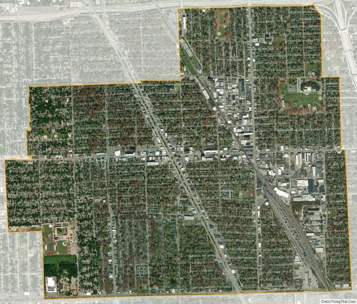
Ferndale city Satellite Map
Geography
According to the United States Census Bureau, the city has a total area of 3.88 square miles (10.05 km), all land.
Ferndale is adjacent to the cities of Detroit to the south, Oak Park to the west, Hazel Park to the east, Pleasant Ridge to the north, Royal Oak Township to the southwest, and Royal Oak to the north.
Ferndale is bordered to the south by 8 Mile Road, to the north (west of Woodward Avenue) by Oakridge Street, and (east of Woodward Avenue) by 10 Mile Road and I-696. To the west it is bordered by Republic Street (south of Nine Mile Road), and Hyland Street (north of Nine Mile). To the east it is bordered by West End, Pilgrim Street, and Lennox Street.
See also
Map of Michigan State and its subdivision:- Alcona
- Alger
- Allegan
- Alpena
- Antrim
- Arenac
- Baraga
- Barry
- Bay
- Benzie
- Berrien
- Branch
- Calhoun
- Cass
- Charlevoix
- Cheboygan
- Chippewa
- Clare
- Clinton
- Crawford
- Delta
- Dickinson
- Eaton
- Emmet
- Genesee
- Gladwin
- Gogebic
- Grand Traverse
- Gratiot
- Hillsdale
- Houghton
- Huron
- Ingham
- Ionia
- Iosco
- Iron
- Isabella
- Jackson
- Kalamazoo
- Kalkaska
- Kent
- Keweenaw
- Lake
- Lake Hurron
- Lake Michigan
- Lake St. Clair
- Lake Superior
- Lapeer
- Leelanau
- Lenawee
- Livingston
- Luce
- Mackinac
- Macomb
- Manistee
- Marquette
- Mason
- Mecosta
- Menominee
- Midland
- Missaukee
- Monroe
- Montcalm
- Montmorency
- Muskegon
- Newaygo
- Oakland
- Oceana
- Ogemaw
- Ontonagon
- Osceola
- Oscoda
- Otsego
- Ottawa
- Presque Isle
- Roscommon
- Saginaw
- Saint Clair
- Saint Joseph
- Sanilac
- Schoolcraft
- Shiawassee
- Tuscola
- Van Buren
- Washtenaw
- Wayne
- Wexford
- Alabama
- Alaska
- Arizona
- Arkansas
- California
- Colorado
- Connecticut
- Delaware
- District of Columbia
- Florida
- Georgia
- Hawaii
- Idaho
- Illinois
- Indiana
- Iowa
- Kansas
- Kentucky
- Louisiana
- Maine
- Maryland
- Massachusetts
- Michigan
- Minnesota
- Mississippi
- Missouri
- Montana
- Nebraska
- Nevada
- New Hampshire
- New Jersey
- New Mexico
- New York
- North Carolina
- North Dakota
- Ohio
- Oklahoma
- Oregon
- Pennsylvania
- Rhode Island
- South Carolina
- South Dakota
- Tennessee
- Texas
- Utah
- Vermont
- Virginia
- Washington
- West Virginia
- Wisconsin
- Wyoming


