Hazel Park is a city in Oakland County in the U.S. state of Michigan. As a part of Metro Detroit, the city shares its southern border with the city of Detroit. As of the 2010 census, the population was 16,422.
Hazel Park was incorporated as a city in 1941 and bills itself as The Friendly City. From 1949 to 2018, it was the site of the Hazel Park Raceway, considered a high-quality facility originally used for both Thoroughbred and Standardbred racing. From 1985 on, the track ran only harness races. After 1996, it also provided simulcasts of races year round from across North America, with betting allowed on these races at the track facilities.
| Name: | Hazel Park city |
|---|---|
| LSAD Code: | 25 |
| LSAD Description: | city (suffix) |
| State: | Michigan |
| County: | Oakland County |
| Incorporated: | 1941 |
| Elevation: | 630 ft (192 m) |
| Land Area: | 2.82 sq mi (7.30 km²) |
| Water Area: | 0.00 sq mi (0.00 km²) |
| Population Density: | 5,316.89/sq mi (2,052.87/km²) |
| Area code: | 248 |
| FIPS code: | 2637420 |
| GNISfeature ID: | 0628016 |
Online Interactive Map
Click on ![]() to view map in "full screen" mode.
to view map in "full screen" mode.
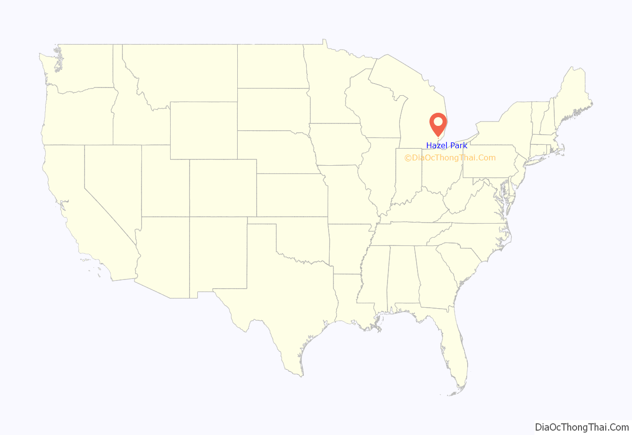
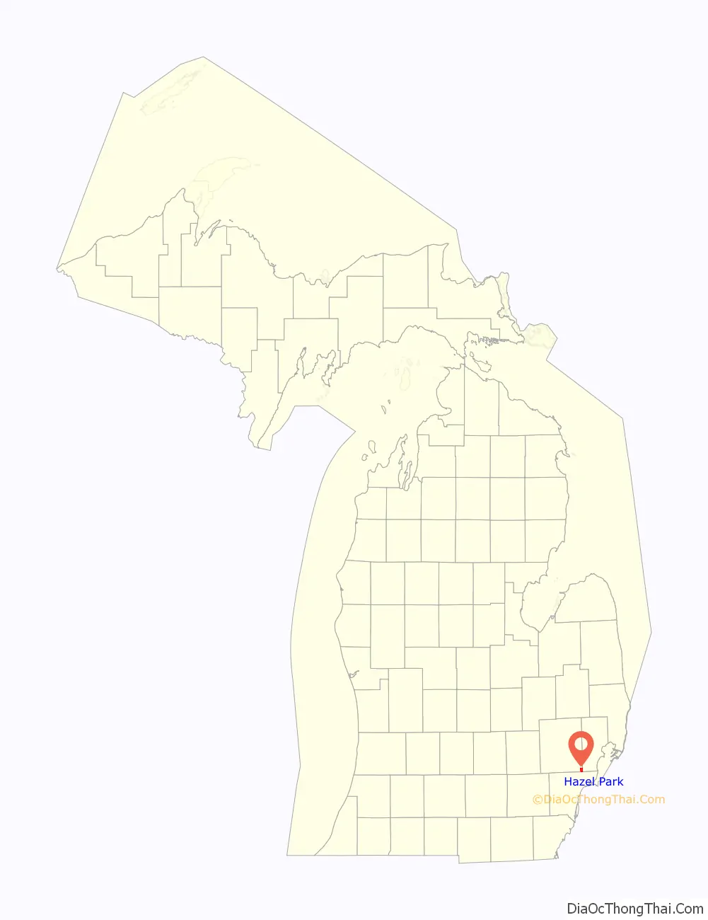
Hazel Park location map. Where is Hazel Park city?
History
This area was long occupied by indigenous peoples, with such historic and current tribes as the Potawatomi and others known to European fur traders and colonists from the 17th century.
In the later 19th century, as westward migration increased from the eastern United States to the Great Lakes territories, this area was settled by European Americans. They first developed it for agriculture. In October 1882, a group of farmers gathered to organize the community’s first school. They built a one-room school in 1883 and later expanded it to two rooms. In 1884, John W. Benjamine petitioned the state of Michigan to form a school district from Royal Oak Township. Benjamine, who was School Inspector for Royal Oak Township, named it Hazel Park School District 8, after the abundant hazelnut bushes in the area.
In 1920, the Thomas W. Lacey School, was built on present-day Woodruff Avenue. The first Hazel Park school had been sold to Frank Neusius, who used it as a barber shop and neighborhood grocery.
Given a rapid increase in this period of the number of school-age children as population grew, the school district soon added four grade schools. It built a larger building at the central location, also called the Lacey School. This became the site for high school students. With further postwar population growth, Hazel Park High School was built. The former high school at John R and 9 Mile Roads was used as Lacey Junior High School.
Hazel Park’s growth was stimulated by the expansion of jobs at the Ford Motor Company, based in nearby Highland Park. Hospitals, offices and shops were developed in the area of 9 Mile Road. The electric Stephenson Line was a convenient way for commuters to travel by trolley to Highland Park and Detroit. In 1924, Hazel Park installed its first traffic light, was granted a post office, and established a Deputy Sheriff’s office. The city was incorporated in 1941.
During the 1930s and 1940s, rallies and community events helped the city during the Great Depression and the years of World War II. Large parts of the auto industry were converted to production of defense-related goods, and thousands of people migrated into the area for new jobs. After the city’s incorporation, it improved the infrastructure and provided running water to all areas.
In 1942, the Elias Brothers, John, Fred and Louis Elias, established a diner in Hazel Park. The Dixie Drive-In was one of the first in the Midwest to offer curbside services. In 1952, the diner was franchised as a Big Boy restaurant. Louis Elias was elected as Mayor of Hazel Park, serving two terms from 1953 to 1961. The Elias brothers continued to open Big Boy restaurants throughout the Metro Detroit area and in 1983 purchased the franchiser.
With the return of thousands of soldiers from World War II, housing demand was very high in the area. It stimulated a boom in construction. Many of the current bungalows in the city were built shortly after the war.
Hazel Park Raceway opened for thoroughbred horse racing in 1949. It was considered a state-of-the-art facility. Harness racing was added in 1953. In 1950 the Detroit Race Course opened in Livonia, Michigan, to the north of Detroit, offering competition with both flat and harness racing. In 1996 the state legislature approved onsite betting at racetracks for simulcast events, and the track was opened year round for patrons to view on racing events from across North America. In 2018 the profitable Hazel Park track was closed after being sold. The new owner wanted to use the large property to develop new warehouse space for an Amazon distribution center.
In 1966 the Interstate 75 (I-75) freeway was fully completed through Hazel Park, as part of the postwar highway construction subsidized by the federal government. It superseded Stephenson Highway, now used as a service drive. Similarly, I-696 was constructed through the neighboring city of Madison Heights in 1979; it joins the two freeways and creating a busy junction with I-75, part of which extends into Hazel Park’s north end.
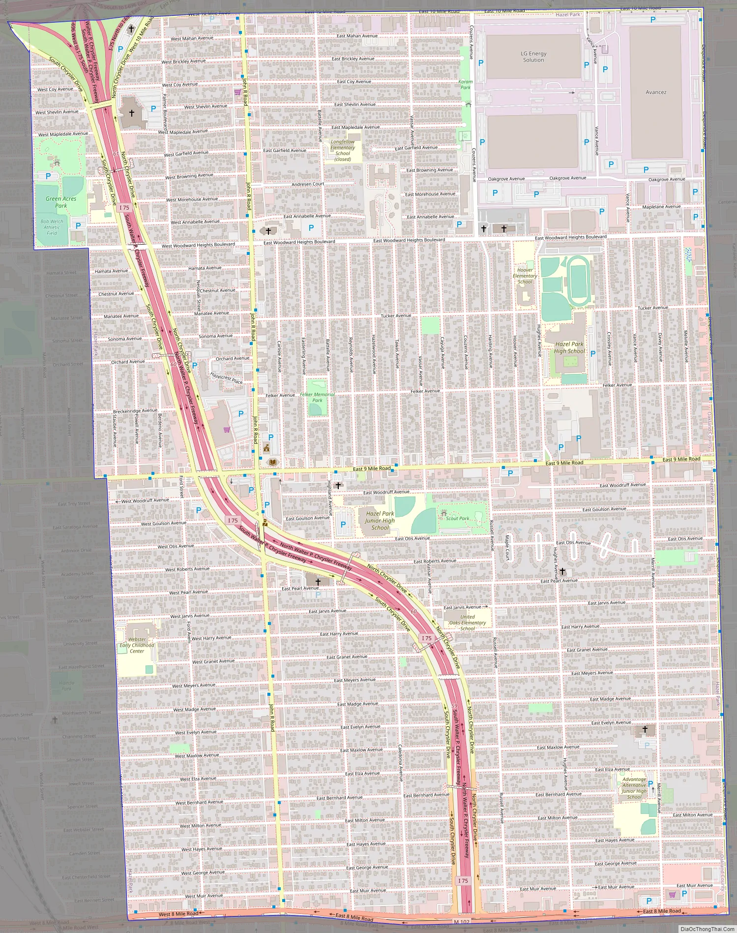
Hazel Park Road Map
Hazel Park city Satellite Map

Geography
According to the United States Census Bureau, the city has a total area of 2.82 square miles (7.30 km), all land. The city is bound by 10 Mile Road to the north, Dequindre Road to the east, 8 Mile Road to the south, and West End Street, Pilgrim Avenue, and Lenox Street to the west.
See also
Map of Michigan State and its subdivision:- Alcona
- Alger
- Allegan
- Alpena
- Antrim
- Arenac
- Baraga
- Barry
- Bay
- Benzie
- Berrien
- Branch
- Calhoun
- Cass
- Charlevoix
- Cheboygan
- Chippewa
- Clare
- Clinton
- Crawford
- Delta
- Dickinson
- Eaton
- Emmet
- Genesee
- Gladwin
- Gogebic
- Grand Traverse
- Gratiot
- Hillsdale
- Houghton
- Huron
- Ingham
- Ionia
- Iosco
- Iron
- Isabella
- Jackson
- Kalamazoo
- Kalkaska
- Kent
- Keweenaw
- Lake
- Lake Hurron
- Lake Michigan
- Lake St. Clair
- Lake Superior
- Lapeer
- Leelanau
- Lenawee
- Livingston
- Luce
- Mackinac
- Macomb
- Manistee
- Marquette
- Mason
- Mecosta
- Menominee
- Midland
- Missaukee
- Monroe
- Montcalm
- Montmorency
- Muskegon
- Newaygo
- Oakland
- Oceana
- Ogemaw
- Ontonagon
- Osceola
- Oscoda
- Otsego
- Ottawa
- Presque Isle
- Roscommon
- Saginaw
- Saint Clair
- Saint Joseph
- Sanilac
- Schoolcraft
- Shiawassee
- Tuscola
- Van Buren
- Washtenaw
- Wayne
- Wexford
- Alabama
- Alaska
- Arizona
- Arkansas
- California
- Colorado
- Connecticut
- Delaware
- District of Columbia
- Florida
- Georgia
- Hawaii
- Idaho
- Illinois
- Indiana
- Iowa
- Kansas
- Kentucky
- Louisiana
- Maine
- Maryland
- Massachusetts
- Michigan
- Minnesota
- Mississippi
- Missouri
- Montana
- Nebraska
- Nevada
- New Hampshire
- New Jersey
- New Mexico
- New York
- North Carolina
- North Dakota
- Ohio
- Oklahoma
- Oregon
- Pennsylvania
- Rhode Island
- South Carolina
- South Dakota
- Tennessee
- Texas
- Utah
- Vermont
- Virginia
- Washington
- West Virginia
- Wisconsin
- Wyoming


