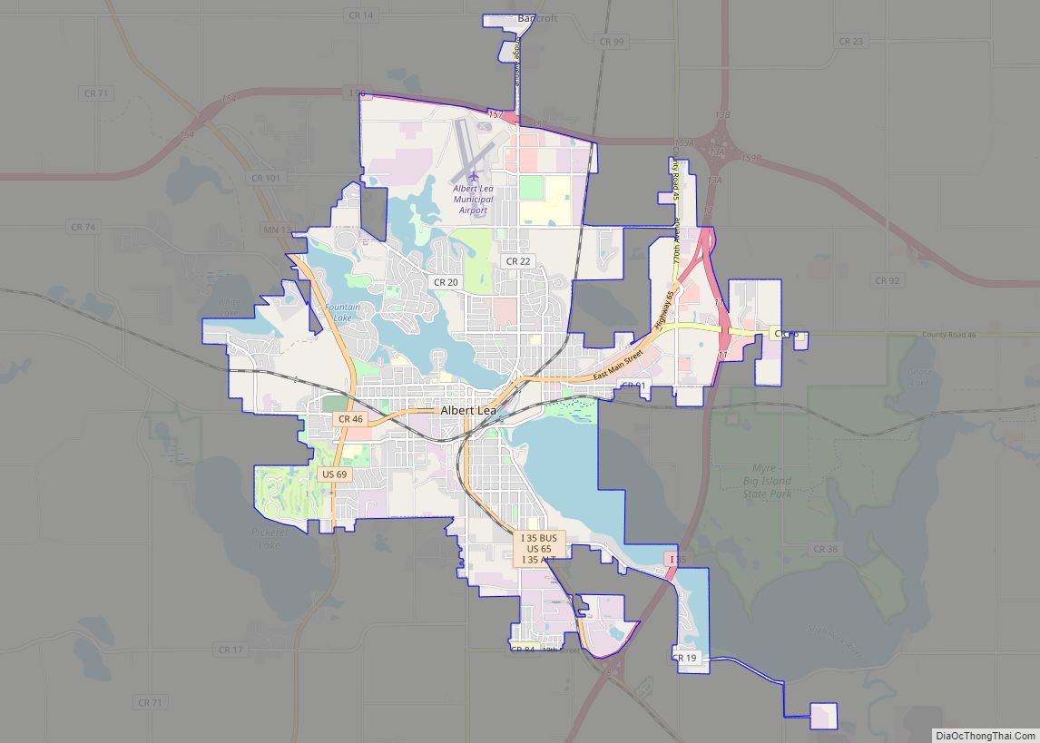
Albert Lea is a city in Freeborn County, in southern Minnesota. It is the county seat. Its population was 18,492 at the 2020 census.
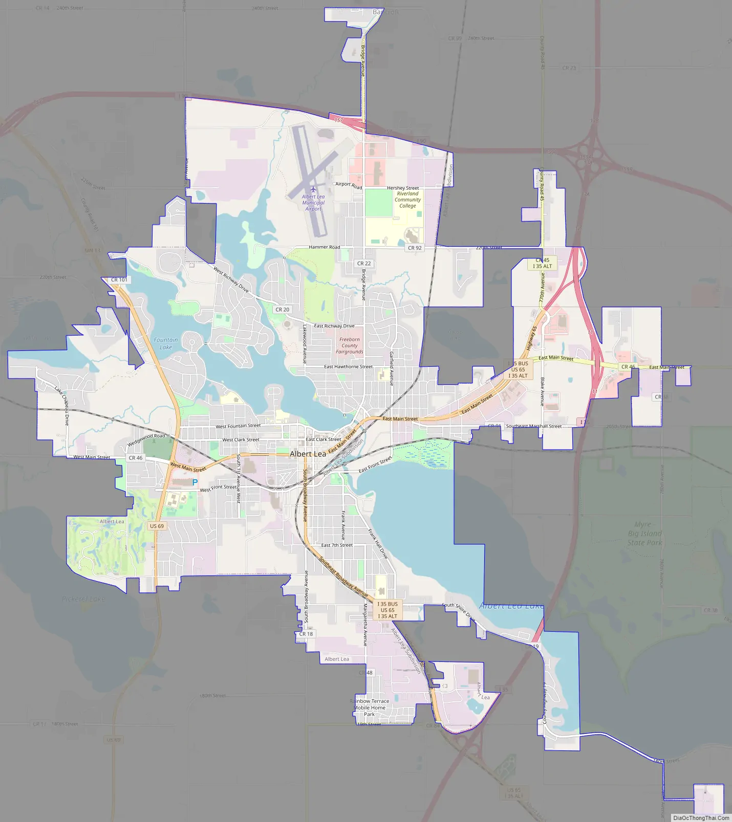
The city is at the junction of Interstates 35 and 90, about 90 miles (140 km) south of the Twin Cities. It is on the shores of Fountain Lake, Pickerel Lake, Albert Lea Lake, Goose Lake, School Lake, and Lake Chapeau. Fountain Lake and Albert Lea Lake are part of the Shell Rock River flowage.
The city’s early growth was based on agriculture, farming support services and manufacturing, and it was a significant rail center. At one time it was the site of Cargill’s headquarters. Other manufacturing included Edwards Manufacturing (barn equipment), Scotsman Ice Machines, Streater Store fixtures, and Universal Milking Machines. As in many U.S. cities, Albert Lea’s manufacturing base has substantially diminished. A major employer was the Wilson & Company meatpacking plant, later known as Farmstead and Farmland. This facility was destroyed by fire in July 2001.
| Name: | Albert Lea city |
|---|---|
| LSAD Code: | 25 |
| LSAD Description: | city (suffix) |
| State: | Minnesota |
| County: | Freeborn County |
| Elevation: | 1,243 ft (379 m) |
| Land Area: | 13.29 sq mi (34.42 km²) |
| Water Area: | 1.85 sq mi (4.79 km²) 12.69% |
| Population Density: | 1,391.53/sq mi (537.27/km²) |
| ZIP code: | 56007 |
| Area code: | 507 |
| FIPS code: | 2700694 |
| GNISfeature ID: | 0639247 |
| Website: | cityofalbertlea.org |
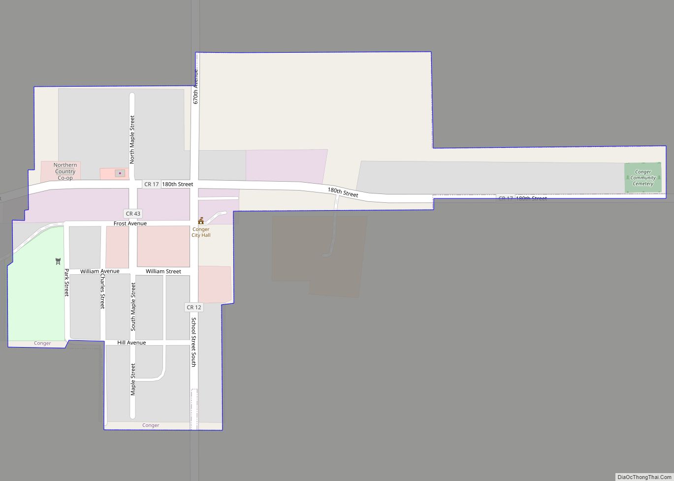
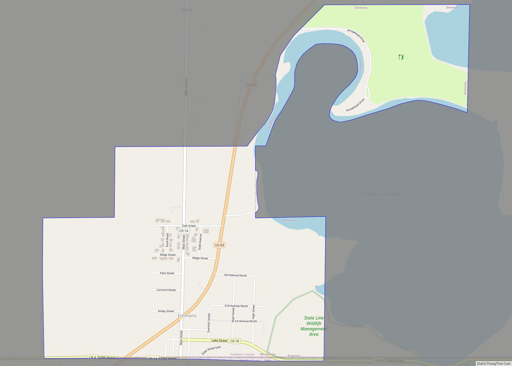
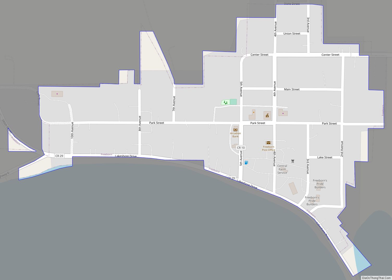
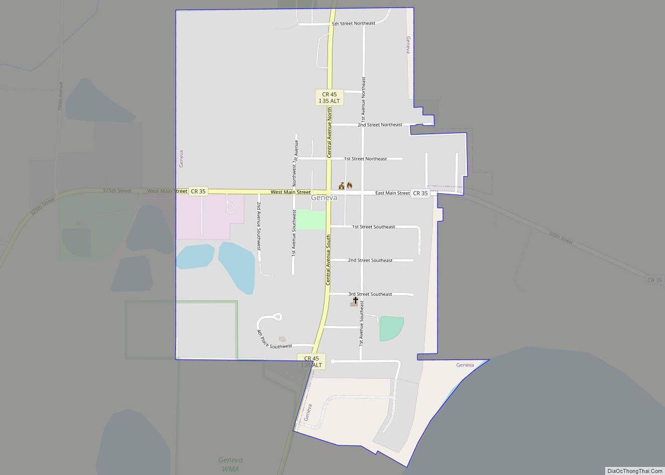
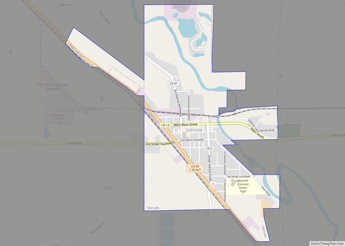
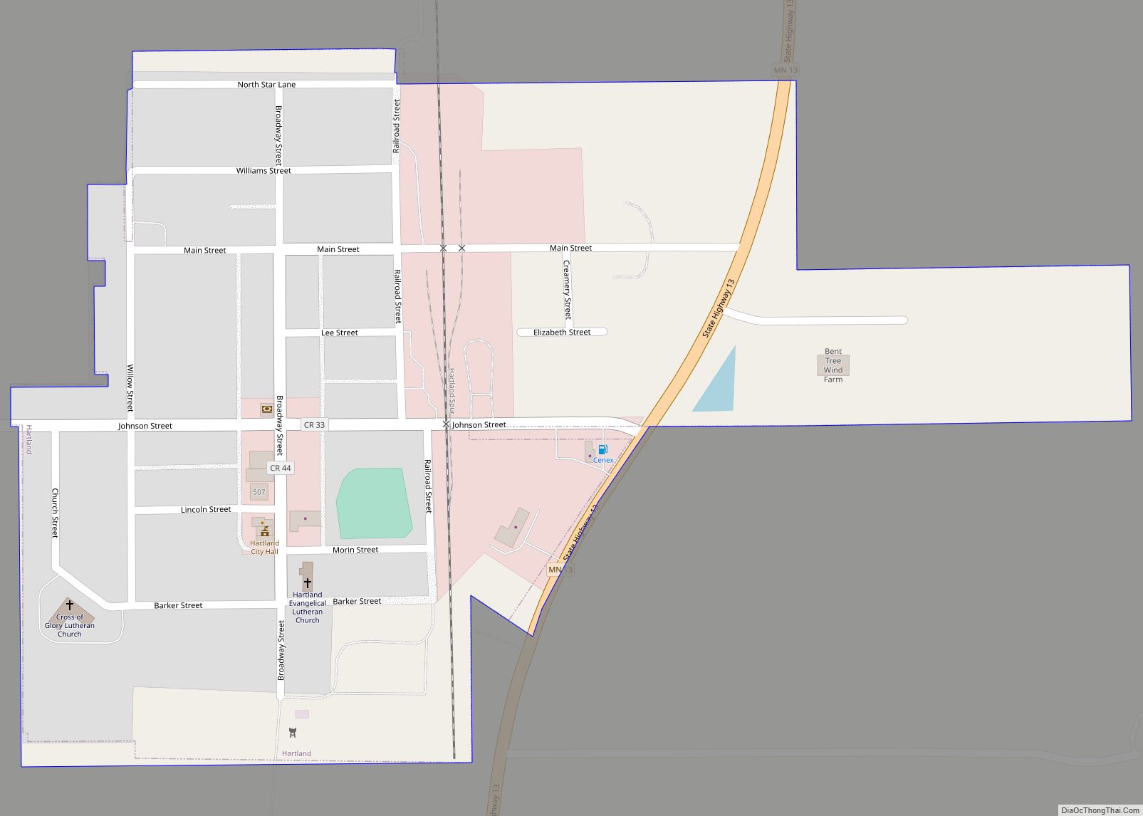
Online Interactive Map
Click on ![]() to view map in "full screen" mode.
to view map in "full screen" mode.
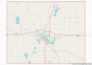
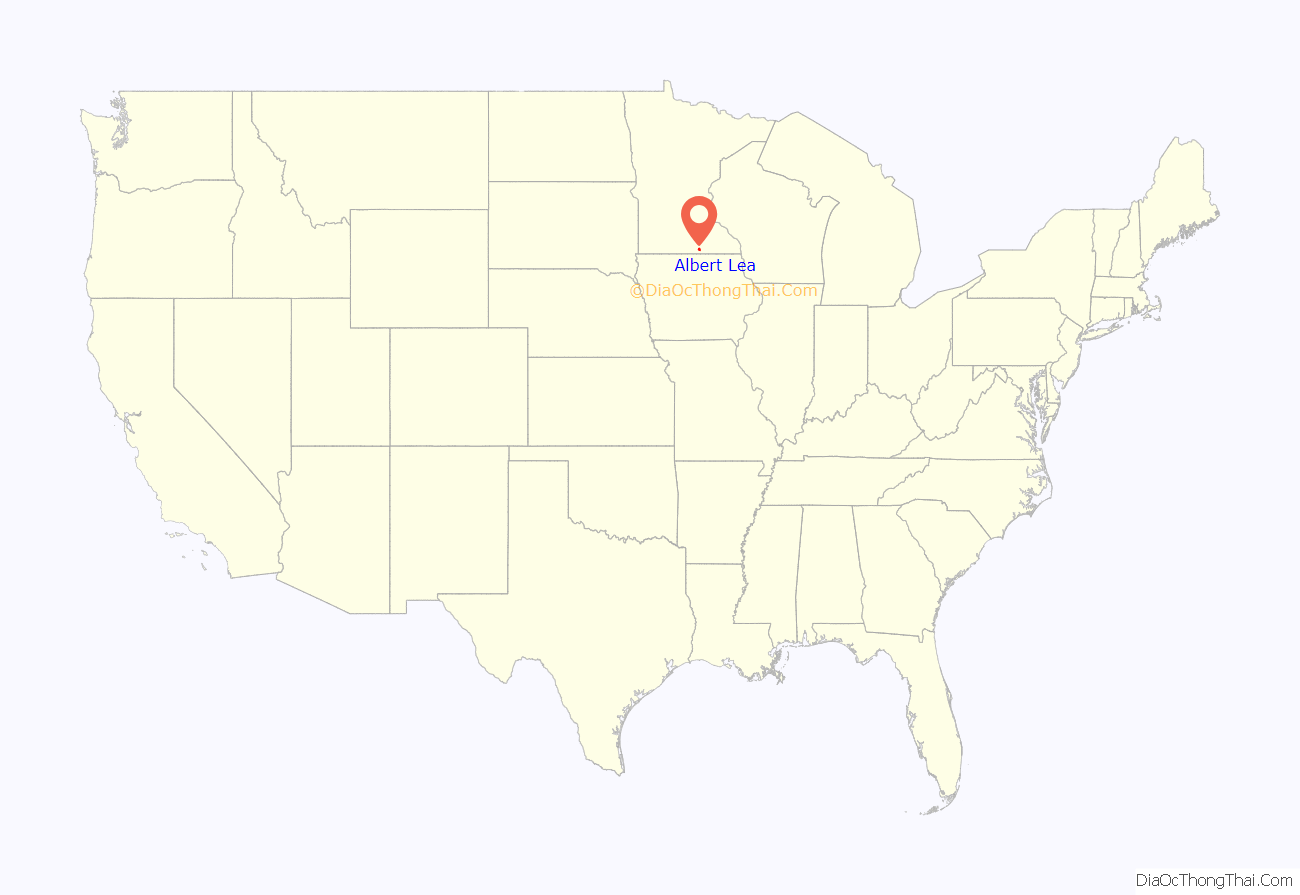
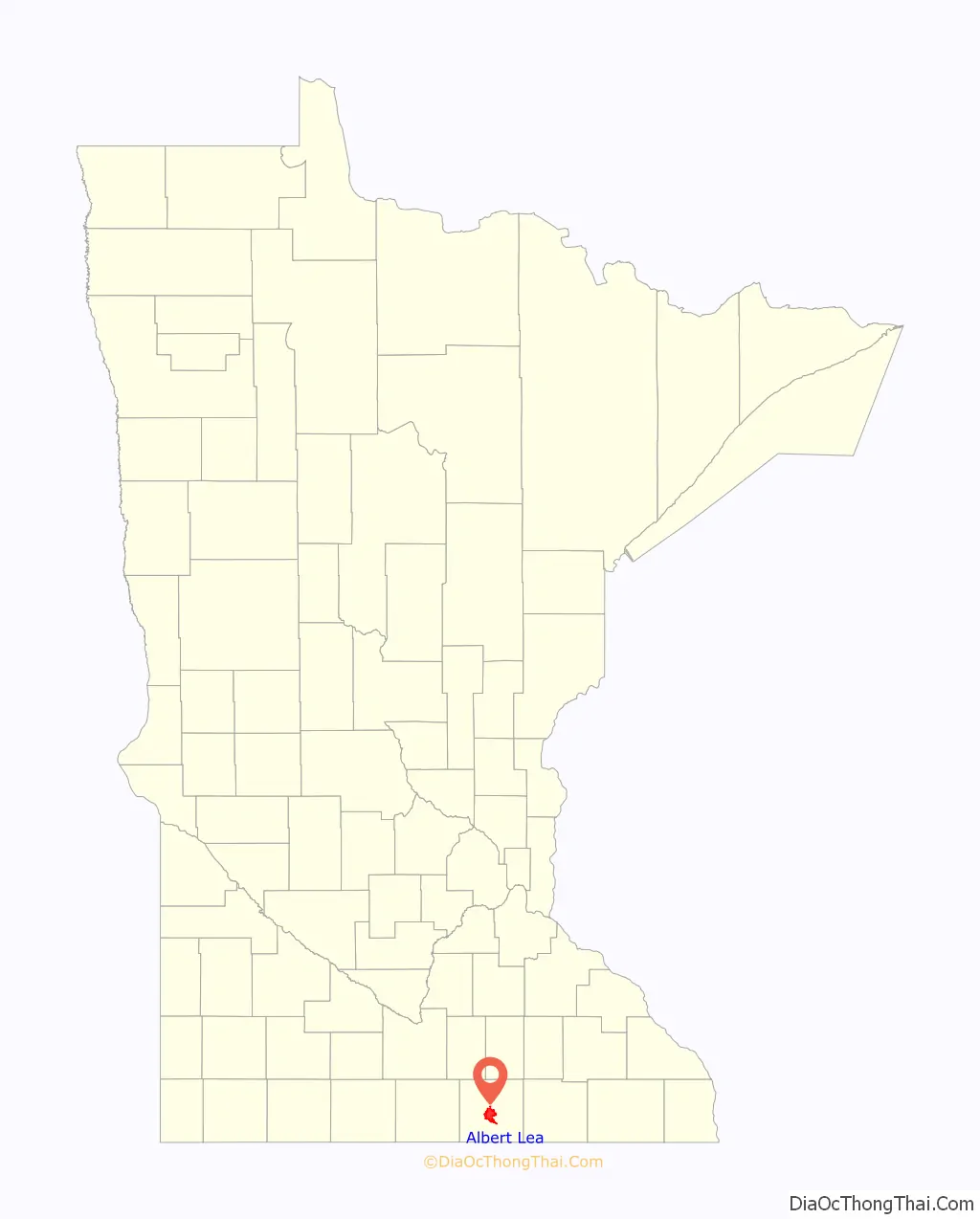
Albert Lea location map. Where is Albert Lea city?
History
The city is named after Albert Miller Lea, a topographer with the United States Dragoons, who surveyed southern Minnesota and northern Iowa in 1835, including the current site of Albert Lea. Captain Nathan Boone, a son of Daniel Boone, was the scout for Lea’s unit.
The city received national attention in 1959 after Local 6 of the United Packinghouse Workers of America went on strike against Wilson & Co., one of the Big Four meatpacking plants at the time, over issues involving mandatory overtime requirements. When Wilson & Co. attempted to operate the plant with replacement workers, violence erupted and split the town. During the 109-day strike, Governor Orville Freeman acted to quell the violence by closing the plant, calling in the Minnesota National Guard, and declaring martial law on December 11. A federal district court in Minneapolis ruled against Freeman on December 23, and the plant turned back to Wilson & Co. just days later.
Albert Lea Road Map
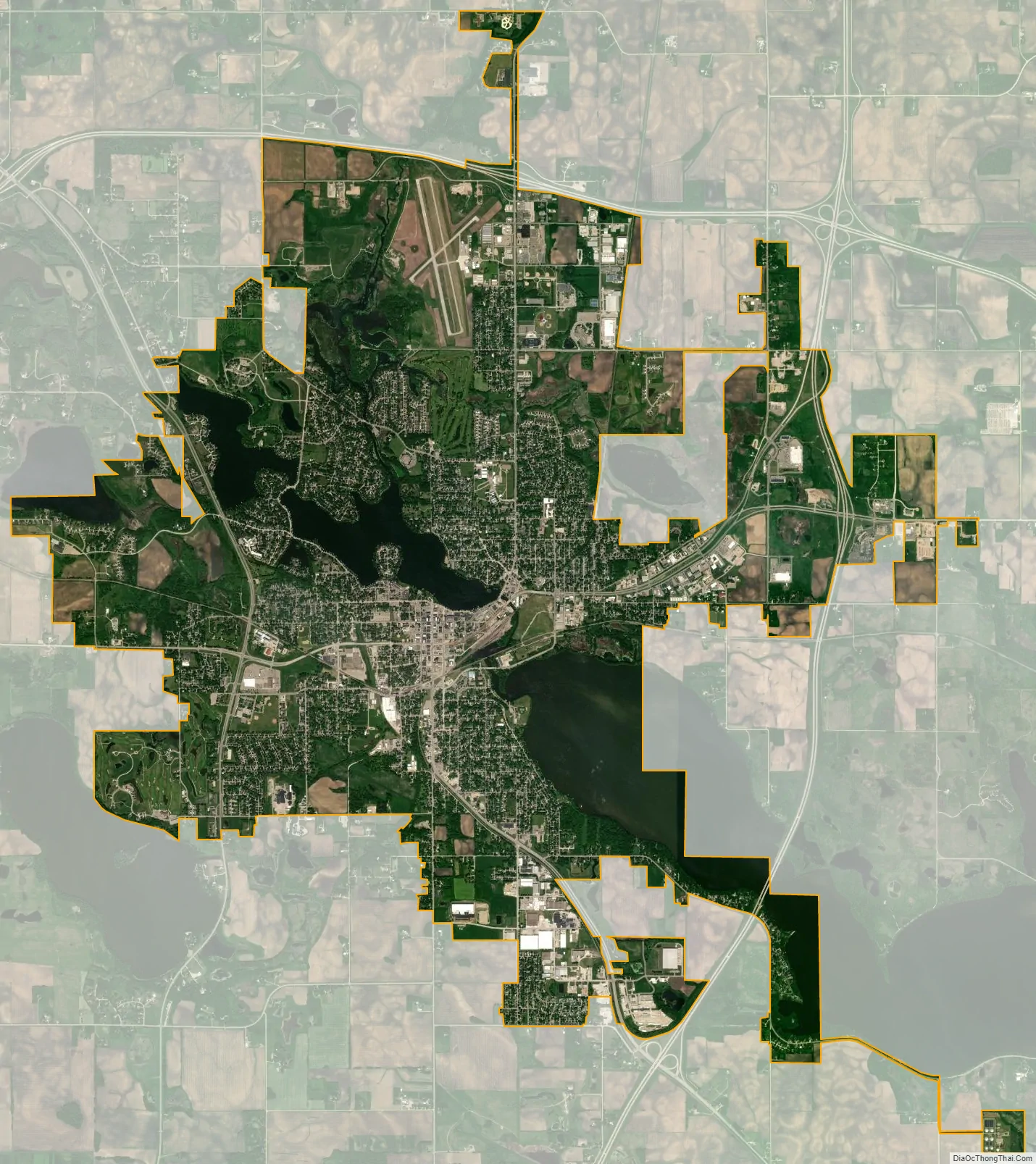
Albert Lea city Satellite Map
Geography
According to the United States Census Bureau, the city has an area of 14.42 square miles (37.35 km), of which 12.59 square miles (32.61 km) is land and 1.83 square miles (4.74 km) is water. Myre-Big Island State Park is nearby. There are three main lakes in Albert Lea: Fountain Lake, Pickerel Lake and Albert Lea Lake. Coordinates: 43°38′52.3″N 93°22′7.5″W / 43.647861°N 93.368750°W / 43.647861; -93.368750
Known as “The Land Between the Lakes,” The lakes offer boating, fishing, canoeing, and boat tours. Fish typically found in these lakes include bullhead, carp, northern pike, bass, walleye, catfish, yellow perch, and various panfish.
Climate
Albert Lea has a humid continental climate of the hot-summer subtype (Köppen Dfa). Albert Lea varies from cold winters to hot summers, with significant contrasts between seasons. Its climate type is typical for inland northern United States locations, but due to its southern position in the state, its summers and winters have higher temperatures than other, more northerly regions of the state. An exception to this rule is the urban core of Minneapolis – St. Paul, which sees higher temperatures typical of an urban heat island, but Albert Lea is significantly warmer than locations such as Duluth.
See also
Map of Minnesota State and its subdivision:- Aitkin
- Anoka
- Becker
- Beltrami
- Benton
- Big Stone
- Blue Earth
- Brown
- Carlton
- Carver
- Cass
- Chippewa
- Chisago
- Clay
- Clearwater
- Cook
- Cottonwood
- Crow Wing
- Dakota
- Dodge
- Douglas
- Faribault
- Fillmore
- Freeborn
- Goodhue
- Grant
- Hennepin
- Houston
- Hubbard
- Isanti
- Itasca
- Jackson
- Kanabec
- Kandiyohi
- Kittson
- Koochiching
- Lac qui Parle
- Lake
- Lake of the Woods
- Lake Superior
- Le Sueur
- Lincoln
- Lyon
- Mahnomen
- Marshall
- Martin
- McLeod
- Meeker
- Mille Lacs
- Morrison
- Mower
- Murray
- Nicollet
- Nobles
- Norman
- Olmsted
- Otter Tail
- Pennington
- Pine
- Pipestone
- Polk
- Pope
- Ramsey
- Red Lake
- Redwood
- Renville
- Rice
- Rock
- Roseau
- Saint Louis
- Scott
- Sherburne
- Sibley
- Stearns
- Steele
- Stevens
- Swift
- Todd
- Traverse
- Wabasha
- Wadena
- Waseca
- Washington
- Watonwan
- Wilkin
- Winona
- Wright
- Yellow Medicine
- Alabama
- Alaska
- Arizona
- Arkansas
- California
- Colorado
- Connecticut
- Delaware
- District of Columbia
- Florida
- Georgia
- Hawaii
- Idaho
- Illinois
- Indiana
- Iowa
- Kansas
- Kentucky
- Louisiana
- Maine
- Maryland
- Massachusetts
- Michigan
- Minnesota
- Mississippi
- Missouri
- Montana
- Nebraska
- Nevada
- New Hampshire
- New Jersey
- New Mexico
- New York
- North Carolina
- North Dakota
- Ohio
- Oklahoma
- Oregon
- Pennsylvania
- Rhode Island
- South Carolina
- South Dakota
- Tennessee
- Texas
- Utah
- Vermont
- Virginia
- Washington
- West Virginia
- Wisconsin
- Wyoming