Belle Plaine is a city in Scott County, Minnesota, United States, about 40 minutes southwest of Minneapolis. The population was 7,395 at the 2020 census.
| Name: | Belle Plaine city |
|---|---|
| LSAD Code: | 25 |
| LSAD Description: | city (suffix) |
| State: | Minnesota |
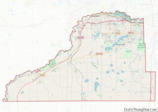
| County: | Scott County |
| Elevation: | 856 ft (261 m) |
| Total Area: | 6.18 sq mi (16.00 km²) |
| Land Area: | 5.95 sq mi (15.42 km²) |
| Water Area: | 0.22 sq mi (0.58 km²) |
| Total Population: | 7,395 |
| Population Density: | 1,242.02/sq mi (479.58/km²) |
| ZIP code: | 56011 |
| Area code: | 952 |
| FIPS code: | 2704834 |
| GNISfeature ID: | 0639891 |
| Website: | belleplainemn.com |
Online Interactive Map
Click on ![]() to view map in "full screen" mode.
to view map in "full screen" mode.
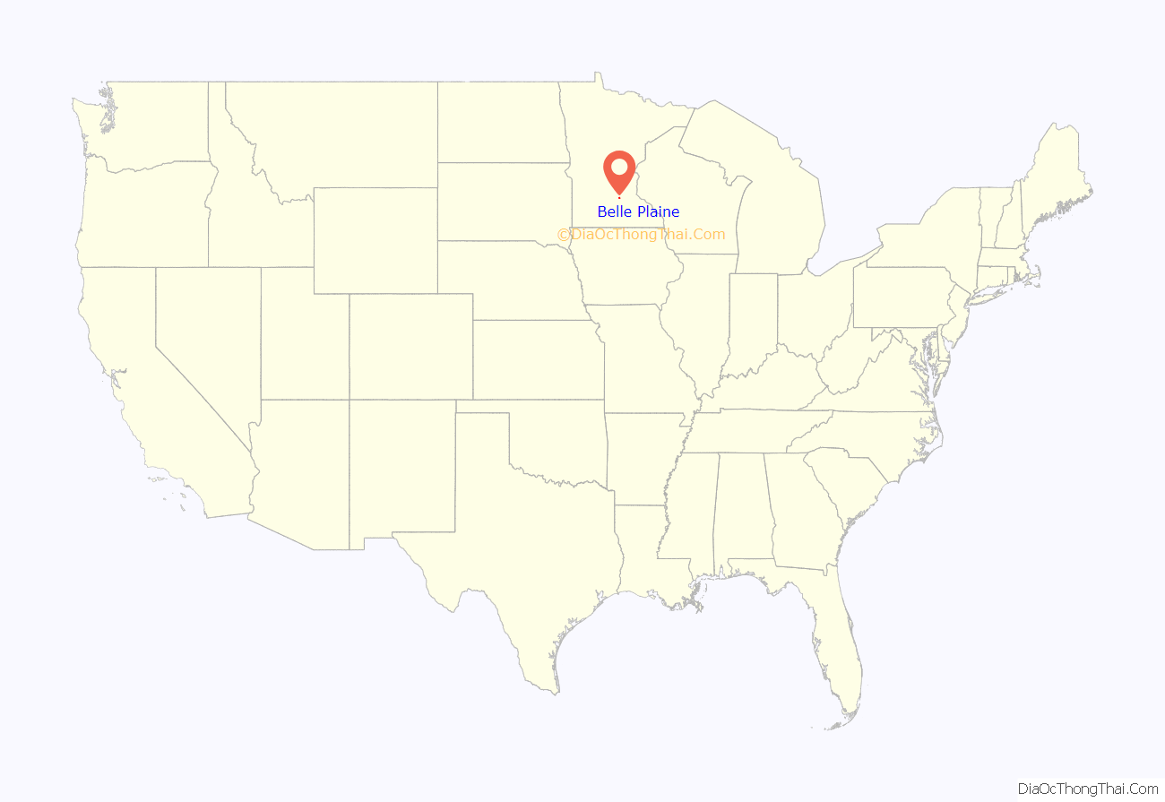
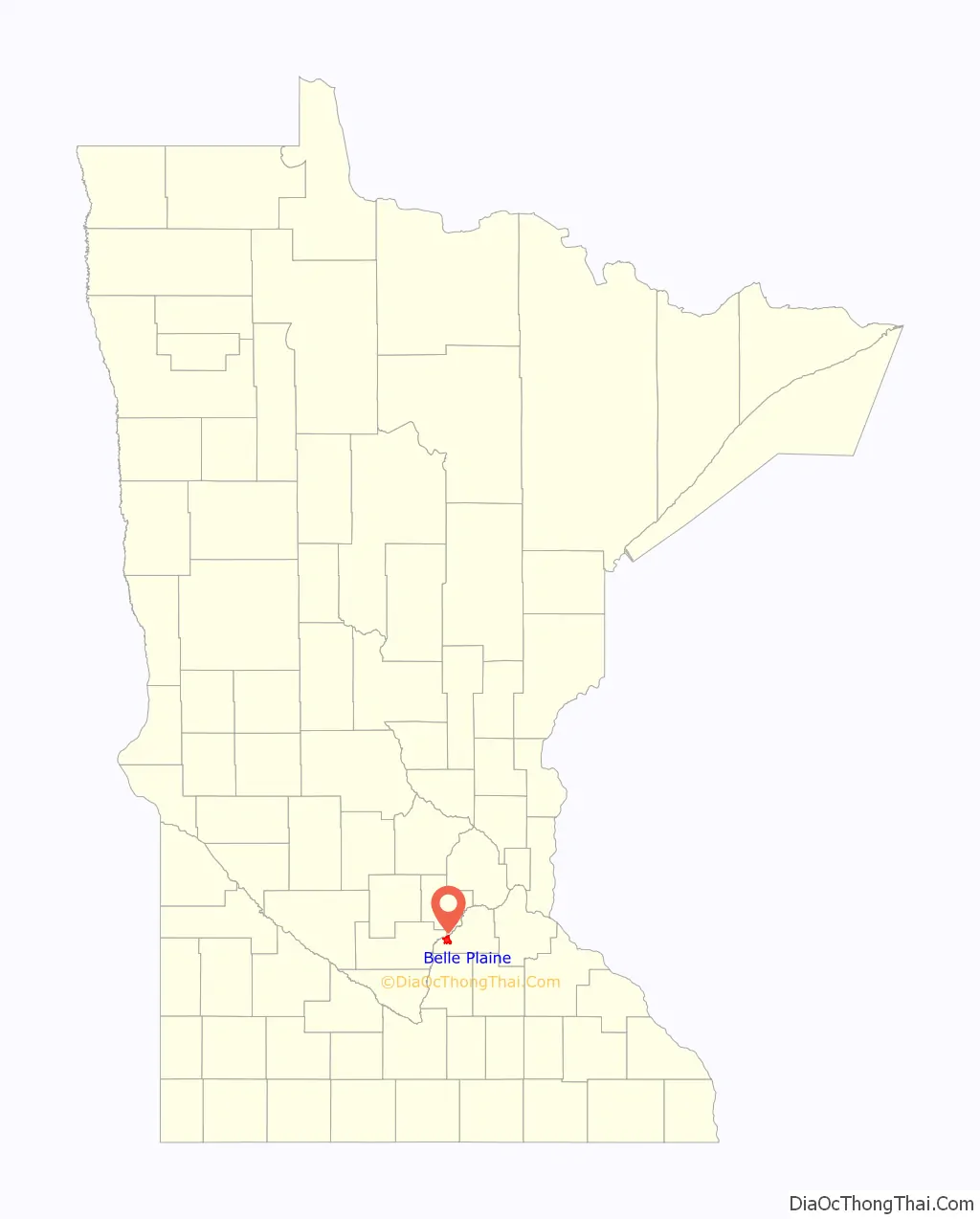
Belle Plaine location map. Where is Belle Plaine city?
History
Minnesota Territorial Supreme Court Judge Andrew G. Chatfield selected the townsite of Belle Plaine in 1853 while traveling from Mendota to Traverse des Sioux to hold court, as it was a halfway marker on his usual path of travel. Judge Chatfield chose to name the townsite Belle Plaine, which is French for “Beautiful Prairie.”
From 1868 to 1974, Belle Plaine was incorporated as a borough, the only one in Minnesota. In 1974, it became a city.
In 1870, the Minnesota State Legislature passed “An act to aid in the development of the salt springs at Belle Plaine”, which donated six pieces of state-owned salt land to a holding company under certain conditions, notably that a well was to be drilled at Belle Plaine. The public funds put the company under great public scrutiny. A year later “An act to further aid the Belle Plaine Salt Company in the development of Salt Springs at Belle Plaine” passed.
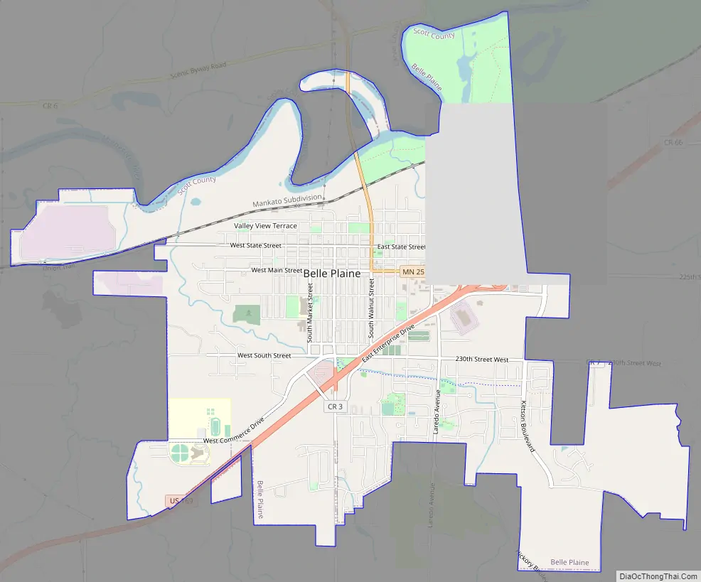
Belle Plaine Road Map
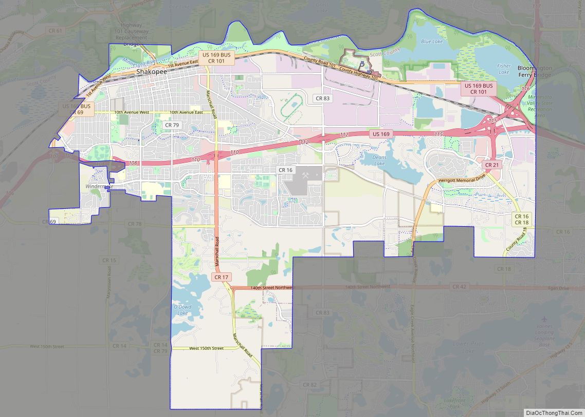
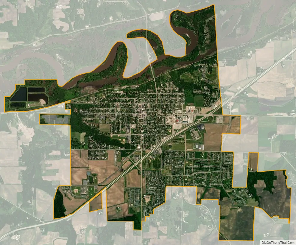
Belle Plaine city Satellite Map
Geography
According to the United States Census Bureau, the city has a total area of 6.11 square miles (15.82 km); 5.91 square miles (15.31 km) is land and 0.20 square miles (0.52 km) is water.
U.S. Highway 169 and Minnesota State Highway 25 are two of the main routes in the community. The U.S. Highway 169 corridor travels from the city of Virginia along the western edge of Mille Lacs Lake, through the western suburbs of Minneapolis and continues south through Belle Plaine, Mankato, and then into Iowa. It is a central route of travel and provides easy access to the Twin Cities and southern Minnesota.
Belle Plaine is located along the Minnesota River, which flows northeast through the town. A fairly newly constructed bridge crosses on the north side of town via Minnesota State Highway 25.
Belle Plaine is located within the Minnesota River Valley, an area of considerable width in which a great river once ran after the receding of the glaciers that left Minnesota with so many lakes. The ancient river’s banks are discernible as the slopes of the valley rise up on either side of the town.
See also
Map of Minnesota State and its subdivision:- Aitkin
- Anoka
- Becker
- Beltrami
- Benton
- Big Stone
- Blue Earth
- Brown
- Carlton
- Carver
- Cass
- Chippewa
- Chisago
- Clay
- Clearwater
- Cook
- Cottonwood
- Crow Wing
- Dakota
- Dodge
- Douglas
- Faribault
- Fillmore
- Freeborn
- Goodhue
- Grant
- Hennepin
- Houston
- Hubbard
- Isanti
- Itasca
- Jackson
- Kanabec
- Kandiyohi
- Kittson
- Koochiching
- Lac qui Parle
- Lake
- Lake of the Woods
- Lake Superior
- Le Sueur
- Lincoln
- Lyon
- Mahnomen
- Marshall
- Martin
- McLeod
- Meeker
- Mille Lacs
- Morrison
- Mower
- Murray
- Nicollet
- Nobles
- Norman
- Olmsted
- Otter Tail
- Pennington
- Pine
- Pipestone
- Polk
- Pope
- Ramsey
- Red Lake
- Redwood
- Renville
- Rice
- Rock
- Roseau
- Saint Louis
- Scott
- Sherburne
- Sibley
- Stearns
- Steele
- Stevens
- Swift
- Todd
- Traverse
- Wabasha
- Wadena
- Waseca
- Washington
- Watonwan
- Wilkin
- Winona
- Wright
- Yellow Medicine
- Alabama
- Alaska
- Arizona
- Arkansas
- California
- Colorado
- Connecticut
- Delaware
- District of Columbia
- Florida
- Georgia
- Hawaii
- Idaho
- Illinois
- Indiana
- Iowa
- Kansas
- Kentucky
- Louisiana
- Maine
- Maryland
- Massachusetts
- Michigan
- Minnesota
- Mississippi
- Missouri
- Montana
- Nebraska
- Nevada
- New Hampshire
- New Jersey
- New Mexico
- New York
- North Carolina
- North Dakota
- Ohio
- Oklahoma
- Oregon
- Pennsylvania
- Rhode Island
- South Carolina
- South Dakota
- Tennessee
- Texas
- Utah
- Vermont
- Virginia
- Washington
- West Virginia
- Wisconsin
- Wyoming