Virginia is a city in St. Louis County, Minnesota, United States, on the Mesabi Iron Range. With an economy heavily reliant on large-scale iron ore mining, Virginia is considered the Mesabi Range’s commercial center. The population was 8,423 at the 2020 census. Virginia is just south of the Superior National Forest and about 100 miles (160 km) south of the Canada–United States border at International Falls, Minnesota, and 55 miles (89 km) northwest of Duluth, Minnesota. Virginia is a part of the Duluth metropolitan area and U.S. Highway 53 runs through town.
| Name: | Virginia city |
|---|---|
| LSAD Code: | 25 |
| LSAD Description: | city (suffix) |
| State: | Minnesota |
| County: | St. Louis County |
| Elevation: | 1,440 ft (439 m) |
| Total Area: | 19.10 sq mi (49.46 km²) |
| Land Area: | 18.77 sq mi (48.61 km²) |
| Water Area: | 0.33 sq mi (0.85 km²) |
| Total Population: | 8,421 |
| Population Density: | 448.67/sq mi (173.23/km²) |
| ZIP code: | 55792, 55741, 55777 |
| Area code: | 218 |
| FIPS code: | 2767288 |
| Website: | www.virginiamn.us |
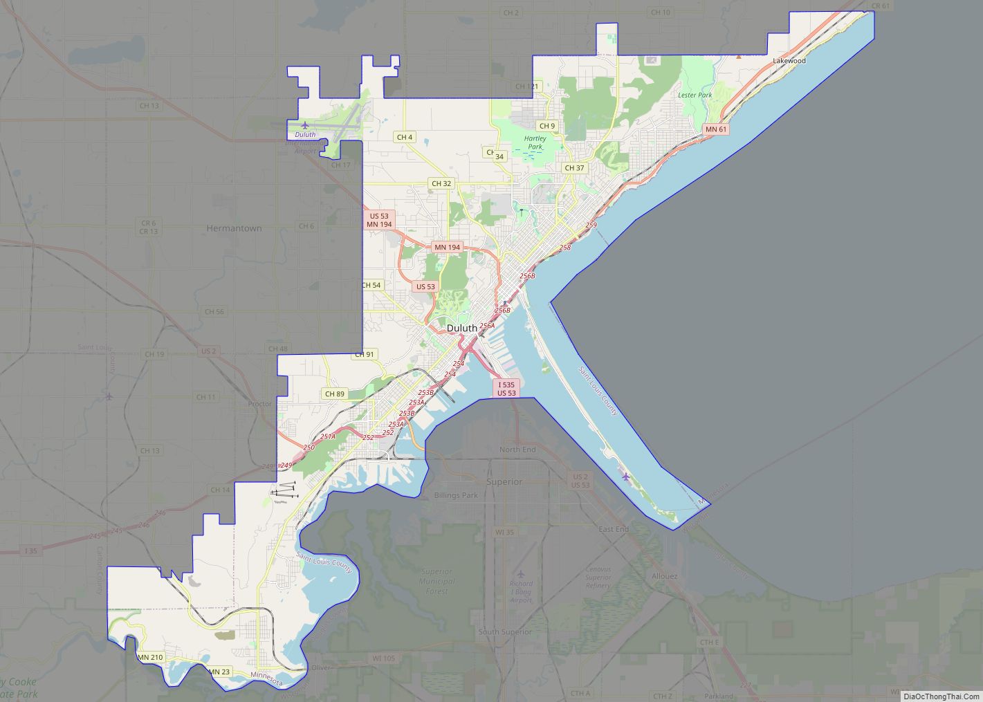
Online Interactive Map
Click on ![]() to view map in "full screen" mode.
to view map in "full screen" mode.
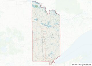
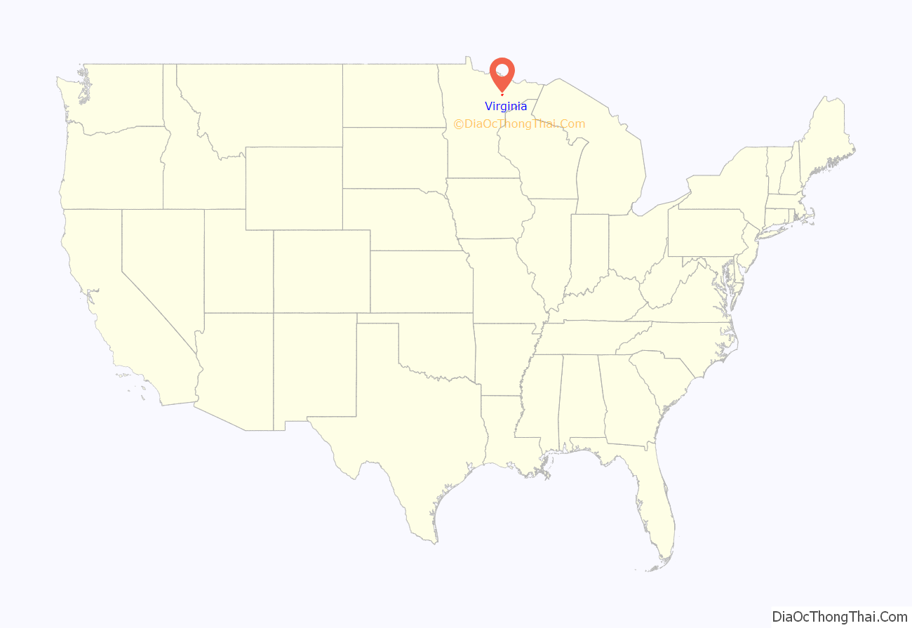
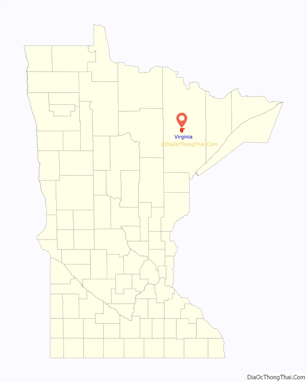
Virginia location map. Where is Virginia city?
History
Virginia was laid out in 1892, and named after Virginia, the native state of a large share of the lumbermen in the area at the time. A post office has been in operation at Virginia since 1893. Virginia was incorporated in February 1895. It was a logging community first, then developed as an iron mining community. The Virginia area mines were prosperous and setting new records consistently by the late 1890s. The main population boom began after mining camps were built for entrepreneurs and financiers including Andrew Carnegie, Leonidas Merritt, Jay Cooke, John D. Rockefeller, William J. Olcott, and James J. Hill. With the use of diamond drills, mules, and a massive labor force, the mines moved millions of tons per year and shipped them out of the Twin Ports of Duluth and Superior, as well as Two Harbors.
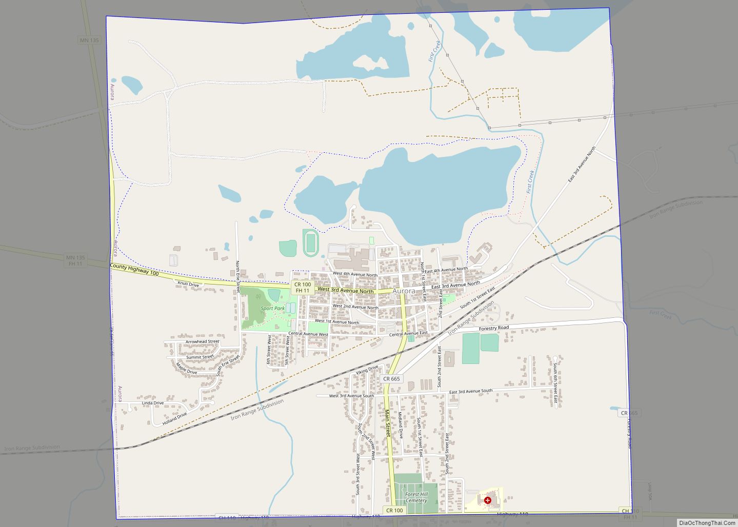
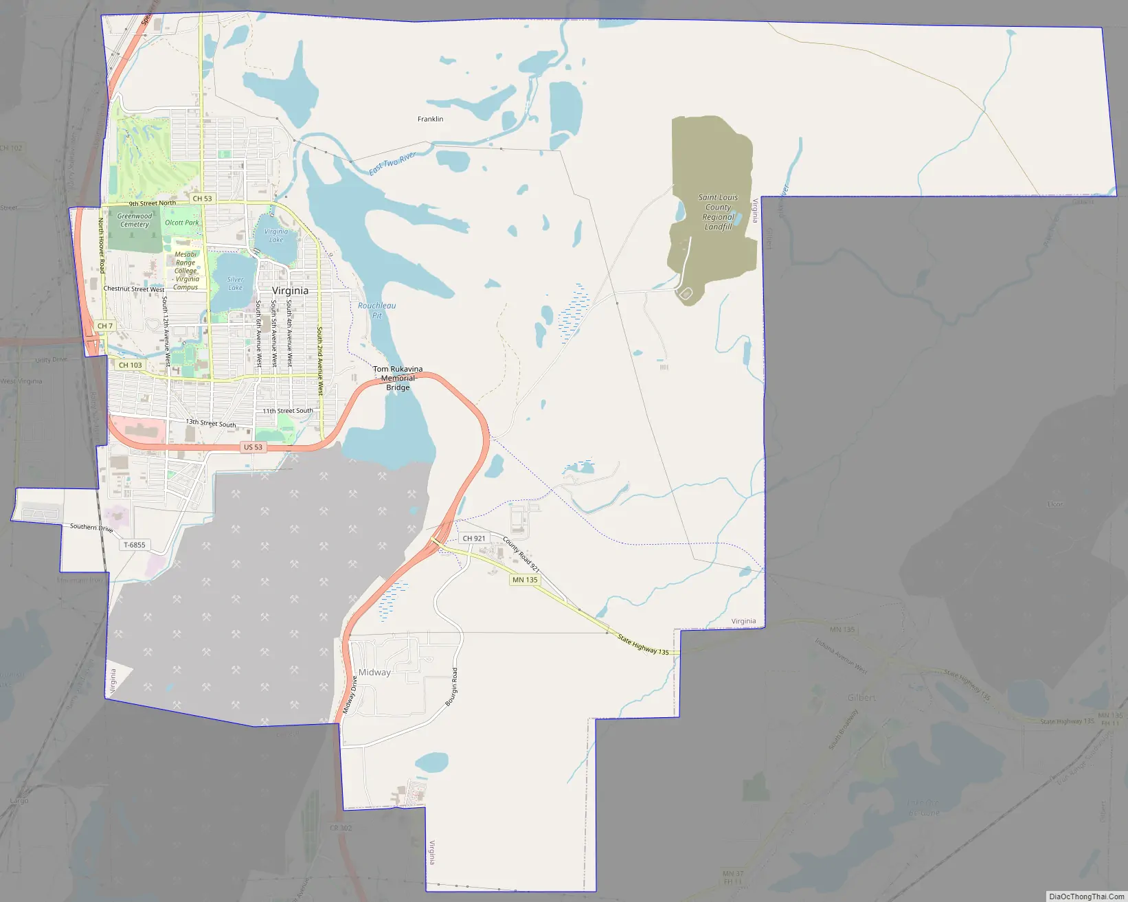
Virginia Road Map
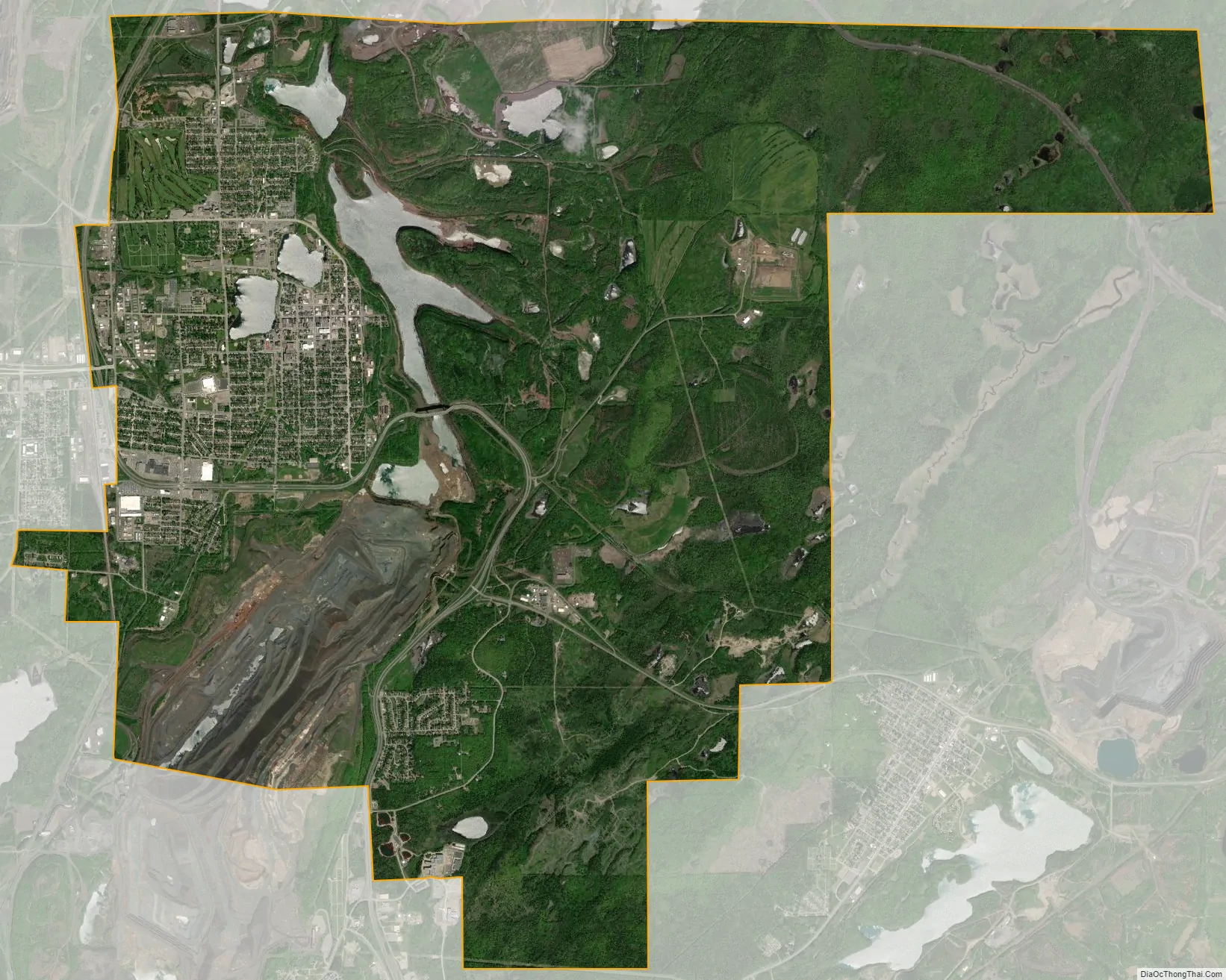
Virginia city Satellite Map
Geography
According to the United States Census Bureau, the city has an area of 19.18 square miles (49.68 km); 18.85 square miles (48.82 km) is land and 0.33 square miles (0.85 km) is water. Lakes in Virginia include Silver Lake and Bailey Lake. The area was originally named Qeechaquepagem by an Ojibwe tribe, which roughly means “lake of the north birds.”
Virginia is part of the Quad Cities, which include nearby Eveleth, Gilbert, and Mountain Iron.
Climate
The Köppen Climate Classification subtype for this climate is “Dfb” (Warm Summer Continental Climate). Summers are warm, sometimes hot, and winters are severely cold.
See also
Map of Minnesota State and its subdivision:- Aitkin
- Anoka
- Becker
- Beltrami
- Benton
- Big Stone
- Blue Earth
- Brown
- Carlton
- Carver
- Cass
- Chippewa
- Chisago
- Clay
- Clearwater
- Cook
- Cottonwood
- Crow Wing
- Dakota
- Dodge
- Douglas
- Faribault
- Fillmore
- Freeborn
- Goodhue
- Grant
- Hennepin
- Houston
- Hubbard
- Isanti
- Itasca
- Jackson
- Kanabec
- Kandiyohi
- Kittson
- Koochiching
- Lac qui Parle
- Lake
- Lake of the Woods
- Lake Superior
- Le Sueur
- Lincoln
- Lyon
- Mahnomen
- Marshall
- Martin
- McLeod
- Meeker
- Mille Lacs
- Morrison
- Mower
- Murray
- Nicollet
- Nobles
- Norman
- Olmsted
- Otter Tail
- Pennington
- Pine
- Pipestone
- Polk
- Pope
- Ramsey
- Red Lake
- Redwood
- Renville
- Rice
- Rock
- Roseau
- Saint Louis
- Scott
- Sherburne
- Sibley
- Stearns
- Steele
- Stevens
- Swift
- Todd
- Traverse
- Wabasha
- Wadena
- Waseca
- Washington
- Watonwan
- Wilkin
- Winona
- Wright
- Yellow Medicine
- Alabama
- Alaska
- Arizona
- Arkansas
- California
- Colorado
- Connecticut
- Delaware
- District of Columbia
- Florida
- Georgia
- Hawaii
- Idaho
- Illinois
- Indiana
- Iowa
- Kansas
- Kentucky
- Louisiana
- Maine
- Maryland
- Massachusetts
- Michigan
- Minnesota
- Mississippi
- Missouri
- Montana
- Nebraska
- Nevada
- New Hampshire
- New Jersey
- New Mexico
- New York
- North Carolina
- North Dakota
- Ohio
- Oklahoma
- Oregon
- Pennsylvania
- Rhode Island
- South Carolina
- South Dakota
- Tennessee
- Texas
- Utah
- Vermont
- Virginia
- Washington
- West Virginia
- Wisconsin
- Wyoming