Crookston is a city in the U.S. state of Minnesota. It is the county seat of Polk County. The population was 7,482 at the 2020 census. It is part of the “Grand Forks, ND–MN Metropolitan Statistical Area” or “Greater Grand Forks”.
Crookston is the episcopal seat of the Roman Catholic Diocese of Crookston. Crookston is partially a commuter town to the larger city of Grand Forks, North Dakota.
| Name: | Crookston city |
|---|---|
| LSAD Code: | 25 |
| LSAD Description: | city (suffix) |
| State: | Minnesota |
| County: | Polk County |
| Elevation: | 876 ft (267 m) |
| Total Area: | 5.17 sq mi (13.40 km²) |
| Land Area: | 5.17 sq mi (13.40 km²) |
| Water Area: | 0.00 sq mi (0.00 km²) |
| Total Population: | 7,482 |
| Population Density: | 1,446.36/sq mi (558.44/km²) |
| ZIP code: | 56716 |
| Area code: | 218 |
| FIPS code: | 2713870 |
| GNISfeature ID: | 0642475 |
| Website: | crookston.mn.us |
Online Interactive Map
Click on ![]() to view map in "full screen" mode.
to view map in "full screen" mode.
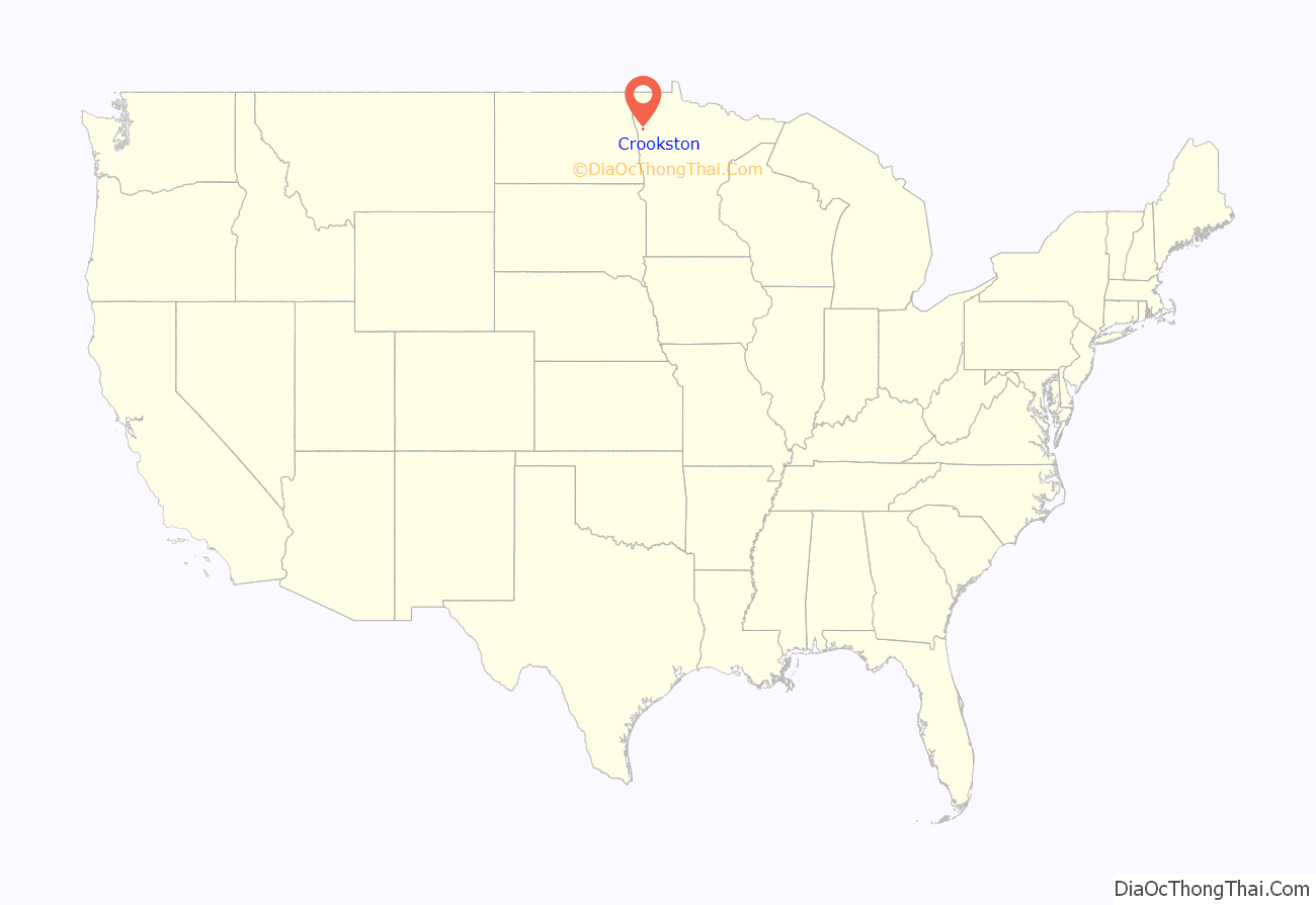
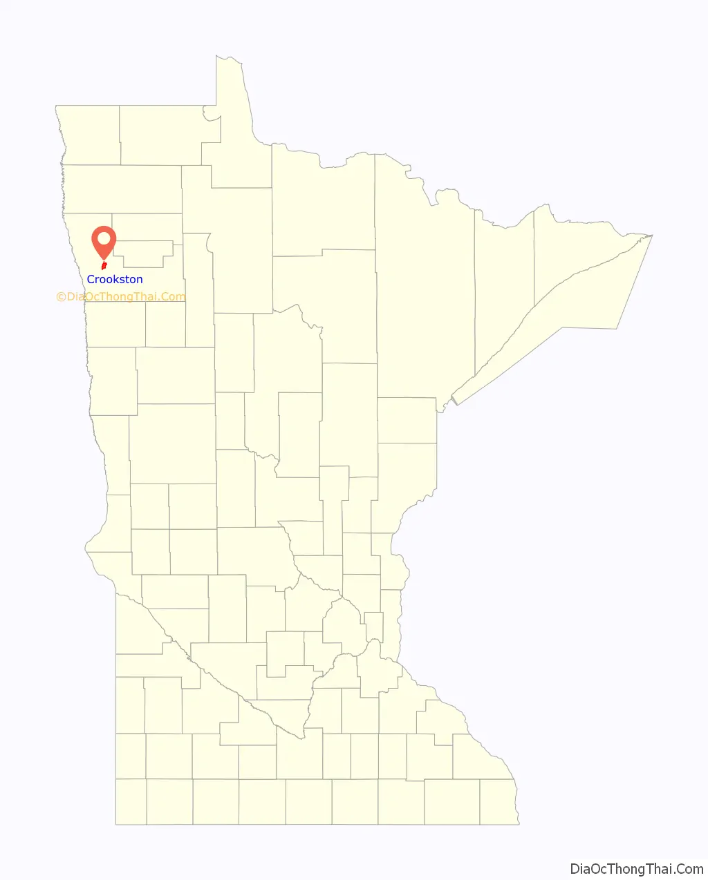
Crookston location map. Where is Crookston city?
History
Early history
The Crookston area was virtually unoccupied until European contact and remained little more than a hunting ground associated with the Pembina settlements until the 1860s. The land in Crookston’s immediate vicinity is not connected with any verifiable Native American or European historic events or circumstances until transfer in the Treaties of Old Crossing in 1863–64. Before that, the territory now included in Crookston was part of Rupert’s Land and Assiniboia before becoming part of the United States as a result of the boundary settlement in the Treaty of 1818.
The Crookston area was traversed by trappers and traders, including Ojibwa and Lakota Indians, Métis, and other mixed-race people as well as white men between 1790 and 1870. A branch of the Red River Trails passed nearby; it was used by fur traders between the 1840s and 1870s.
Settlement
The present-day site of Crookston first saw settlement by non-Indian people around 1872. It was the site of a federal land office by 1876 and sited on a portion of the Great Northern Railway that began operation by 1880. The town was incorporated on April 1, 1879 as “Queen City”. By the end of that year, the town had a jail, graded streets, and a few plank sidewalks. Soon it was decided that the town needed a new name. Two factions emerged supporting two different names. One wished to honor the town’s first mayor, Captain Ellerey C. Davis, with the name Davis. Another group picked the name Crookston to honor Colonel William Crooks, a soldier and railroad builder. The name was reportedly chosen by coin toss.
Soon Scandinavian and German immigrants began populating Crookston. At one point, eight different railroad lines reached the town, and it became a center of commerce and manufacturing.
Crookston Road Map

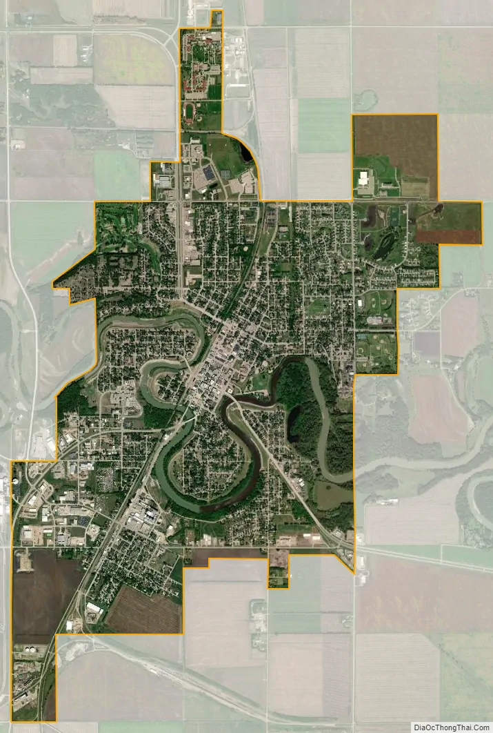
Crookston city Satellite Map
Geography
Crookston sits in the fertile Red River Valley, once a part of glacial Lake Agassiz. As Lake Agassiz receded, it left behind rich mineral deposits. This made the area around Crookston prime for agricultural uses. Grains such as wheat and other crops, including sugar beets and potatoes grow well in the area around Crookston.
Crookston has a relatively flat landscape. The Red Lake River flows through the city and makes several twists and turns (oxbows). The riverbank has eroded somewhat.
U.S. Highways 2 and 75 and Minnesota State Highways 9 and 102 are four of the main routes in the community.
Crookston is the northern terminus of the Agassiz Recreational Trail, a 53-mile multi-use trail built on an abandoned railroad grade that has its southern terminus at Ulen. According to the United States Census Bureau, the city has a total area of 5.15 square miles (13.34 km), all land.
Climate
See also
Map of Minnesota State and its subdivision:- Aitkin
- Anoka
- Becker
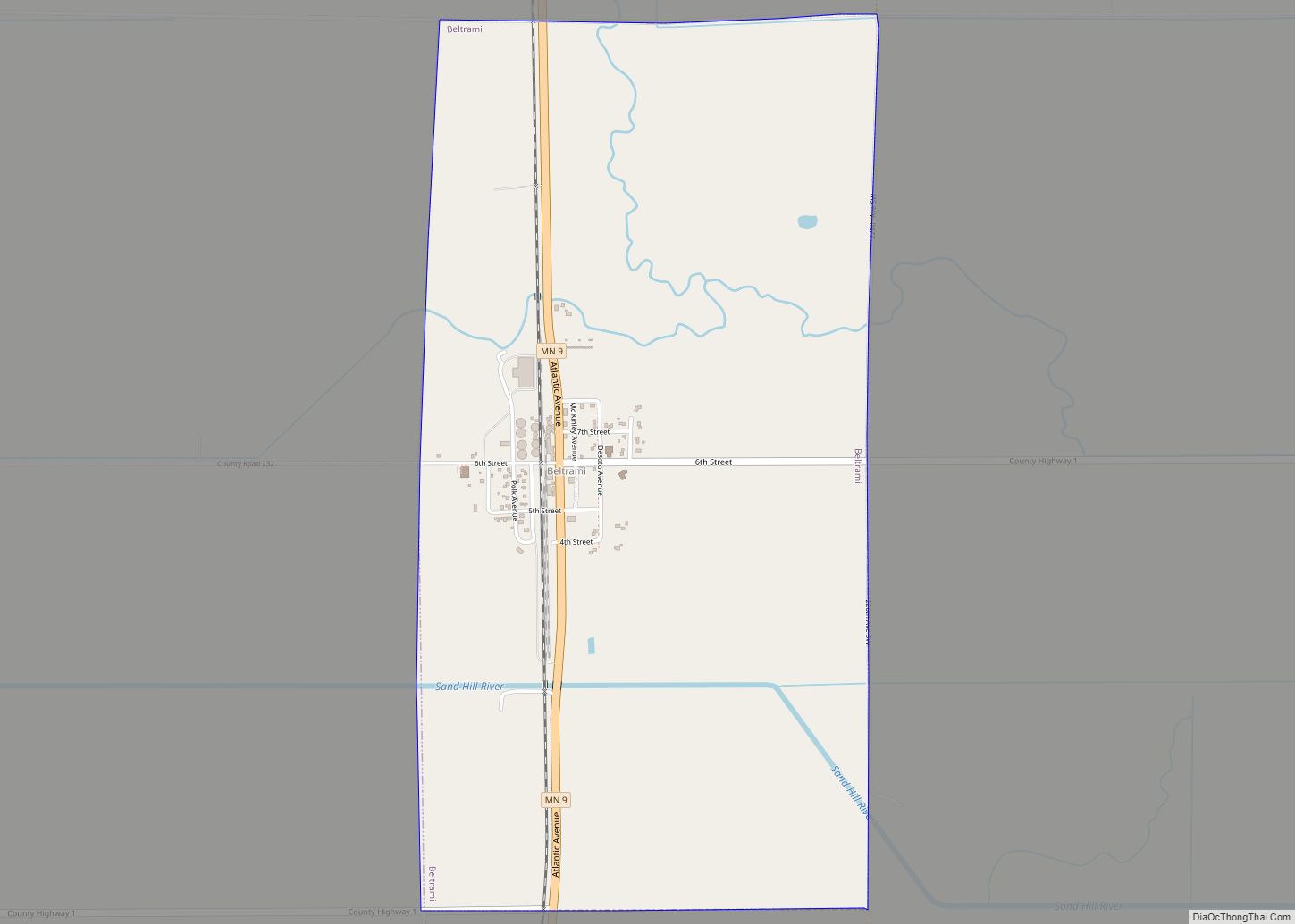
- Beltrami
- Benton
- Big Stone
- Blue Earth
- Brown
- Carlton
- Carver
- Cass
- Chippewa
- Chisago
- Clay
- Clearwater
- Cook
- Cottonwood
- Crow Wing
- Dakota
- Dodge
- Douglas
- Faribault
- Fillmore
- Freeborn
- Goodhue
- Grant
- Hennepin
- Houston
- Hubbard
- Isanti
- Itasca
- Jackson
- Kanabec
- Kandiyohi
- Kittson
- Koochiching
- Lac qui Parle
- Lake
- Lake of the Woods
- Lake Superior
- Le Sueur
- Lincoln
- Lyon
- Mahnomen
- Marshall
- Martin
- McLeod
- Meeker
- Mille Lacs
- Morrison
- Mower
- Murray
- Nicollet
- Nobles
- Norman
- Olmsted
- Otter Tail
- Pennington
- Pine
- Pipestone
- Polk
- Pope
- Ramsey
- Red Lake
- Redwood
- Renville
- Rice
- Rock
- Roseau
- Saint Louis
- Scott
- Sherburne
- Sibley
- Stearns
- Steele
- Stevens
- Swift
- Todd
- Traverse
- Wabasha
- Wadena
- Waseca
- Washington
- Watonwan
- Wilkin
- Winona
- Wright
- Yellow Medicine
- Alabama
- Alaska
- Arizona
- Arkansas
- California
- Colorado
- Connecticut
- Delaware
- District of Columbia
- Florida
- Georgia
- Hawaii
- Idaho
- Illinois
- Indiana
- Iowa
- Kansas
- Kentucky
- Louisiana
- Maine
- Maryland
- Massachusetts
- Michigan
- Minnesota
- Mississippi
- Missouri
- Montana
- Nebraska
- Nevada
- New Hampshire
- New Jersey
- New Mexico
- New York
- North Carolina
- North Dakota
- Ohio
- Oklahoma
- Oregon
- Pennsylvania
- Rhode Island
- South Carolina
- South Dakota
- Tennessee
- Texas
- Utah
- Vermont
- Virginia
- Washington
- West Virginia
- Wisconsin
- Wyoming