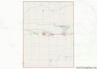
Blooming Prairie is a city in Dodge and Steele counties in the U.S. state of Minnesota. The population was 1,996 at the 2010 census. Most of the city is located within Steele County; only a small part of the city extends into Dodge County.
| Name: | Blooming Prairie city |
|---|---|
| LSAD Code: | 25 |
| LSAD Description: | city (suffix) |
| State: | Minnesota |
| County: | Dodge County, Steele County |
| Elevation: | 1,293 ft (394 m) |
| Total Area: | 1.36 sq mi (3.52 km²) |
| Land Area: | 1.36 sq mi (3.52 km²) |
| Water Area: | 0.00 sq mi (0.00 km²) |
| Total Population: | 1,974 |
| Population Density: | 1,451.47/sq mi (560.30/km²) |
| ZIP code: | 55917 |
| Area code: | 507 |
| FIPS code: | 2706580 |
| GNISfeature ID: | 0640277 |
| Website: | www.bloomingprairie.com |
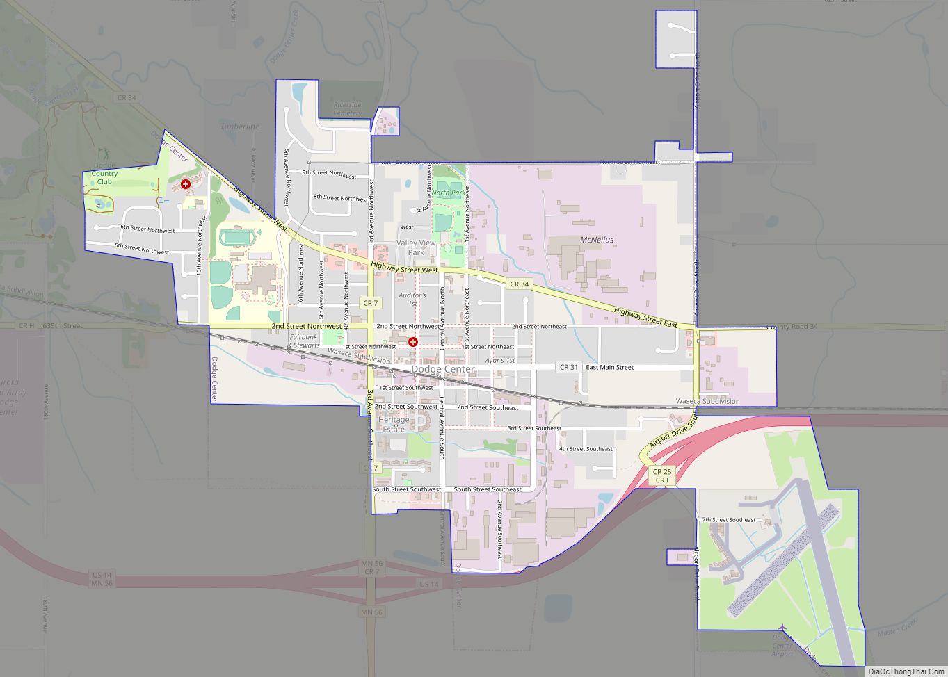
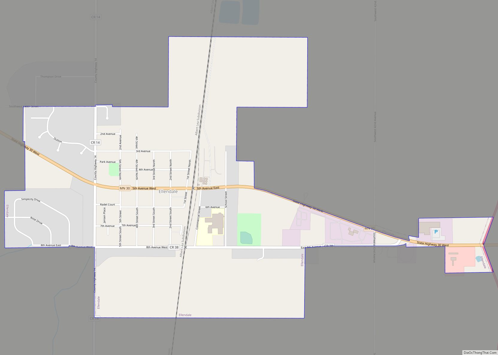
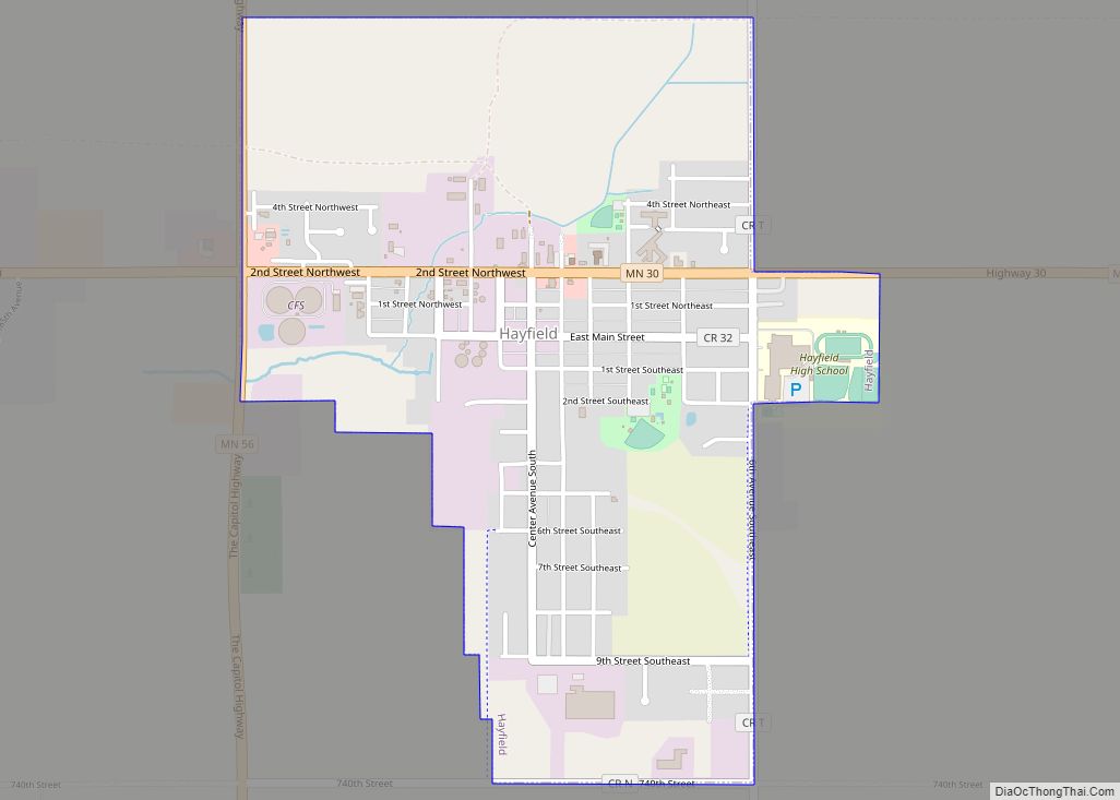
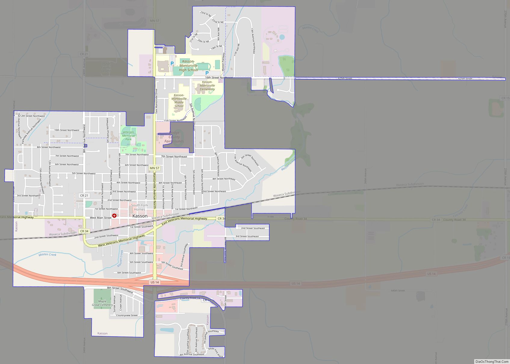
Online Interactive Map
Click on ![]() to view map in "full screen" mode.
to view map in "full screen" mode.
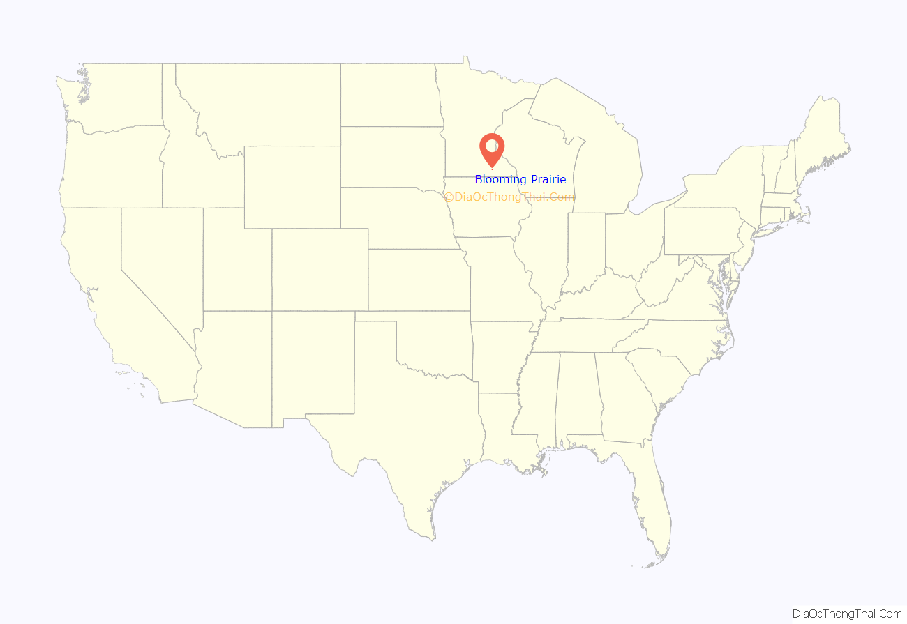
Blooming Prairie location map. Where is Blooming Prairie city?

History
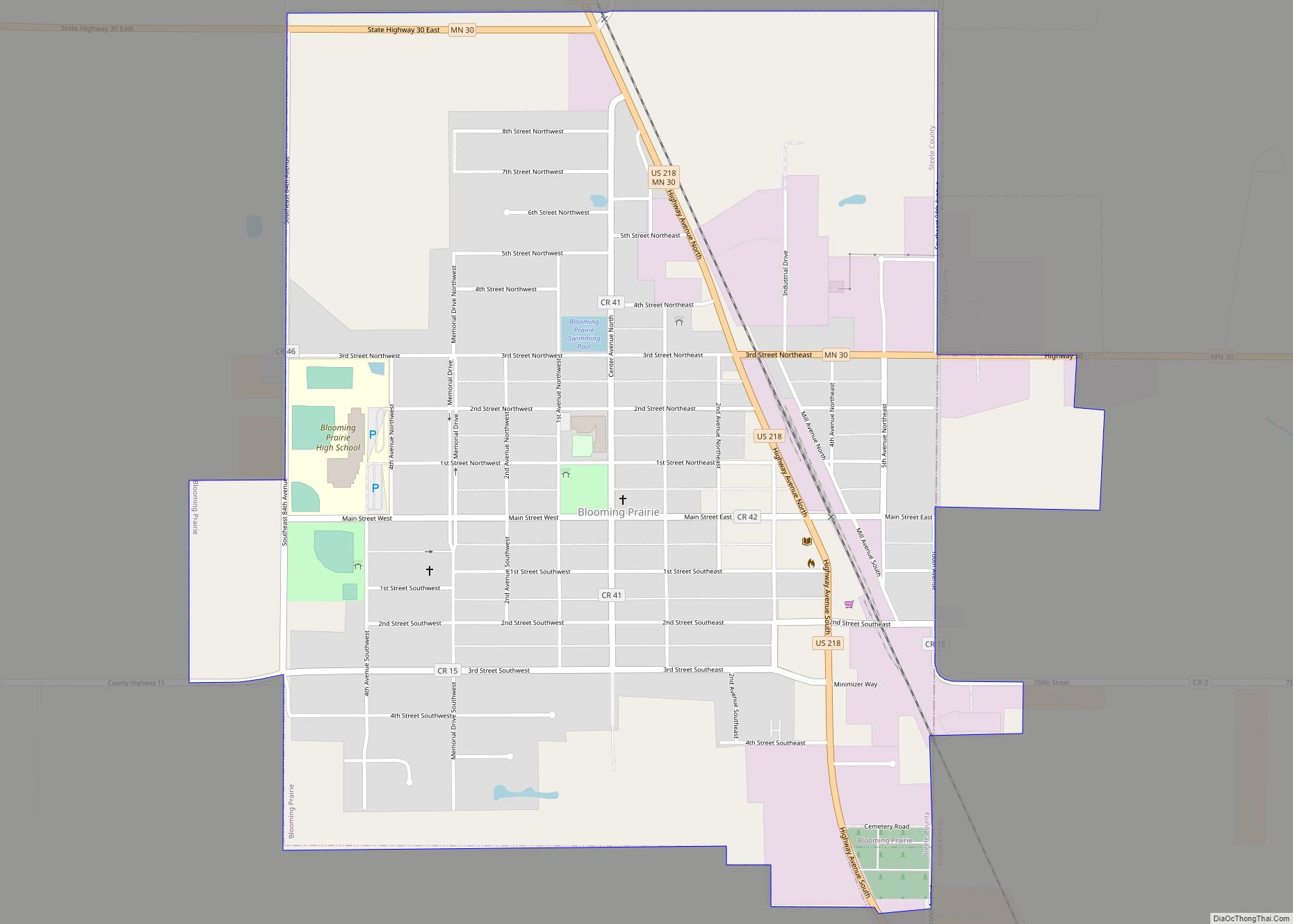
Blooming Prairie was platted in 1868, taking the name of the surrounding Blooming Prairie Township, which was organized one year earlier. A post office has been in operation at Blooming Prairie since 1868. The city was incorporated by 1874. Blooming Prairie’s historic downtown is listed on the National Register of Historic Places.
Before the Prohibition Act came into effect, Blooming Prairie’s presence near the intersection of Mower, Freeborn, Dodge, and Steele county made it a lucrative hub for the sale of alcohol according to the Mower County Historical Society. Circa 1917, Steele County was the only one of the four to be considered “wet”, meaning it was legal to both own and consume alcohol, like in “dry” counties, but also legal to sell. During the Prohibition Act, several tunnels were dug under the businesses on Main Street for the purpose of making and peddling moonshine, according to many of the residents of Blooming Prairie.
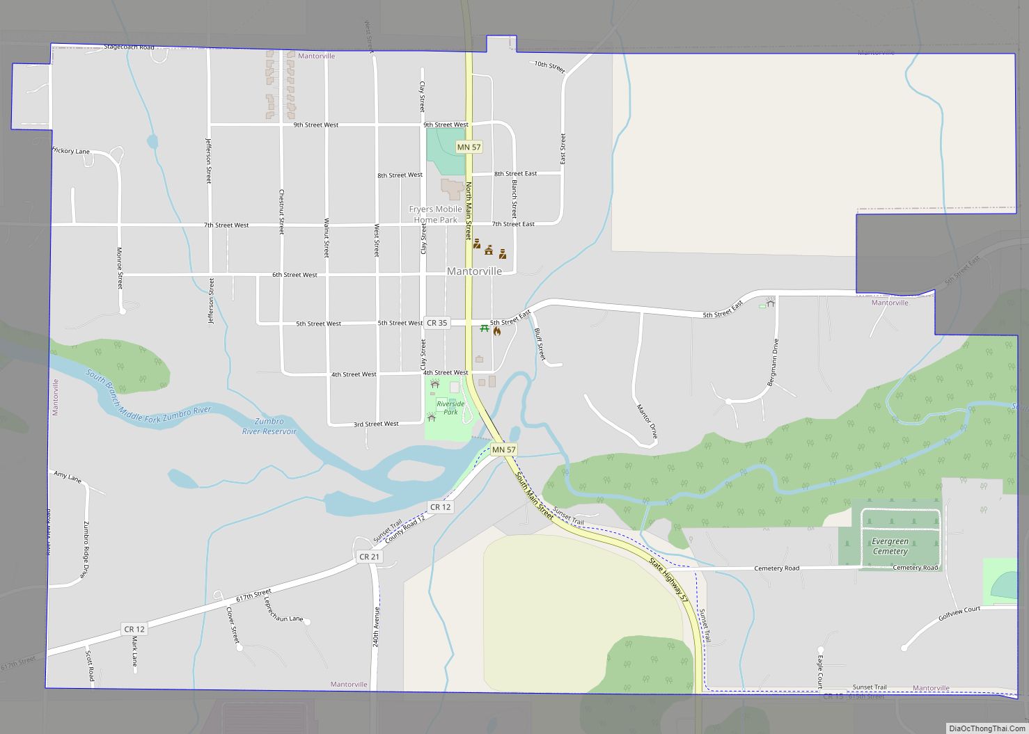
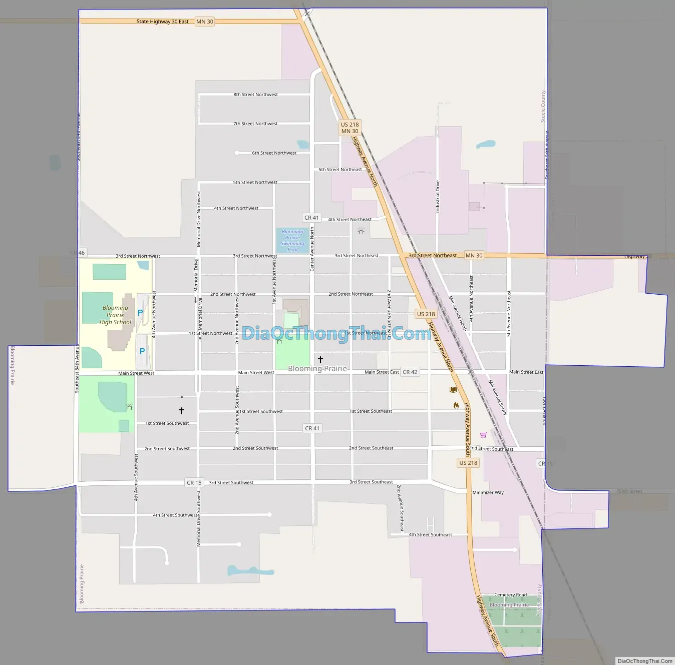
Blooming Prairie Road Map
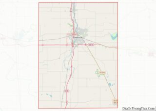
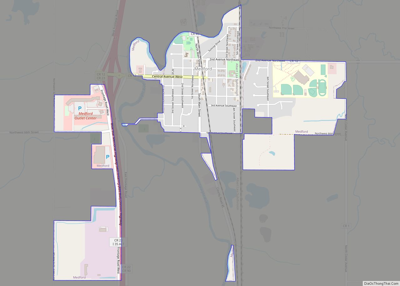
Blooming Prairie city Satellite Map

Geography
According to the United States Census Bureau, the city has a total area of 1.41 square miles (3.65 km), all land.
U.S. Highway 218 and Minnesota State Highway 30 are the main routes in the city.
See also
Map of Minnesota State and its subdivision:- Aitkin
- Anoka
- Becker
- Beltrami
- Benton
- Big Stone
- Blue Earth
- Brown
- Carlton
- Carver
- Cass
- Chippewa
- Chisago
- Clay
- Clearwater
- Cook
- Cottonwood
- Crow Wing
- Dakota
- Dodge
- Douglas
- Faribault
- Fillmore
- Freeborn
- Goodhue
- Grant
- Hennepin
- Houston
- Hubbard
- Isanti
- Itasca
- Jackson
- Kanabec
- Kandiyohi
- Kittson
- Koochiching
- Lac qui Parle
- Lake
- Lake of the Woods
- Lake Superior
- Le Sueur
- Lincoln
- Lyon
- Mahnomen
- Marshall
- Martin
- McLeod
- Meeker
- Mille Lacs
- Morrison
- Mower
- Murray
- Nicollet
- Nobles
- Norman
- Olmsted
- Otter Tail
- Pennington
- Pine
- Pipestone
- Polk
- Pope
- Ramsey
- Red Lake
- Redwood
- Renville
- Rice
- Rock
- Roseau
- Saint Louis
- Scott
- Sherburne
- Sibley
- Stearns
- Steele
- Stevens
- Swift
- Todd
- Traverse
- Wabasha
- Wadena
- Waseca
- Washington
- Watonwan
- Wilkin
- Winona
- Wright
- Yellow Medicine
- Alabama
- Alaska
- Arizona
- Arkansas
- California
- Colorado
- Connecticut
- Delaware
- District of Columbia
- Florida
- Georgia
- Hawaii
- Idaho
- Illinois
- Indiana
- Iowa
- Kansas
- Kentucky
- Louisiana
- Maine
- Maryland
- Massachusetts
- Michigan
- Minnesota
- Mississippi
- Missouri
- Montana
- Nebraska
- Nevada
- New Hampshire
- New Jersey
- New Mexico
- New York
- North Carolina
- North Dakota
- Ohio
- Oklahoma
- Oregon
- Pennsylvania
- Rhode Island
- South Carolina
- South Dakota
- Tennessee
- Texas
- Utah
- Vermont
- Virginia
- Washington
- West Virginia
- Wisconsin
- Wyoming