Cannon Falls is a city in Goodhue County, Minnesota, United States. The population was 4,083 at the 2010 census. Located along U.S. Route 52, southeast of the Twin Cities, Cannon Falls is the home of Pachyderm Studio, where many famous musicians have recorded, including Nirvana, which recorded its 1993 album In Utero there.
Cannon Falls is named for the falls along the Cannon River and serves as the western trailhead for the Cannon Valley Trail.
| Name: | Cannon Falls city |
|---|---|
| LSAD Code: | 25 |
| LSAD Description: | city (suffix) |
| State: | Minnesota |
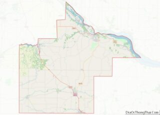
| County: | Goodhue County |
| Elevation: | 836 ft (255 m) |
| Total Area: | 4.59 sq mi (11.89 km²) |
| Land Area: | 4.49 sq mi (11.63 km²) |
| Water Area: | 0.10 sq mi (0.26 km²) |
| Total Population: | 4,220 |
| Population Density: | 940.08/sq mi (362.93/km²) |
| ZIP code: | 55009 |
| Area code: | 507 |
| FIPS code: | 2709730 |
| GNISfeature ID: | 0640870 |
| Website: | cannonfallsmn.gov |
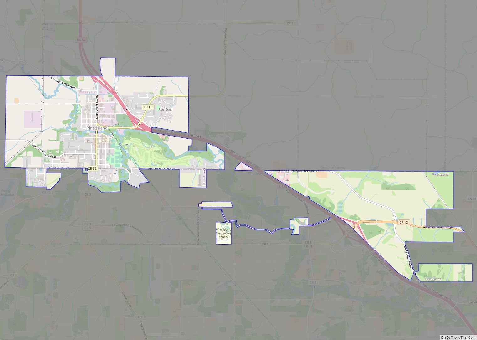
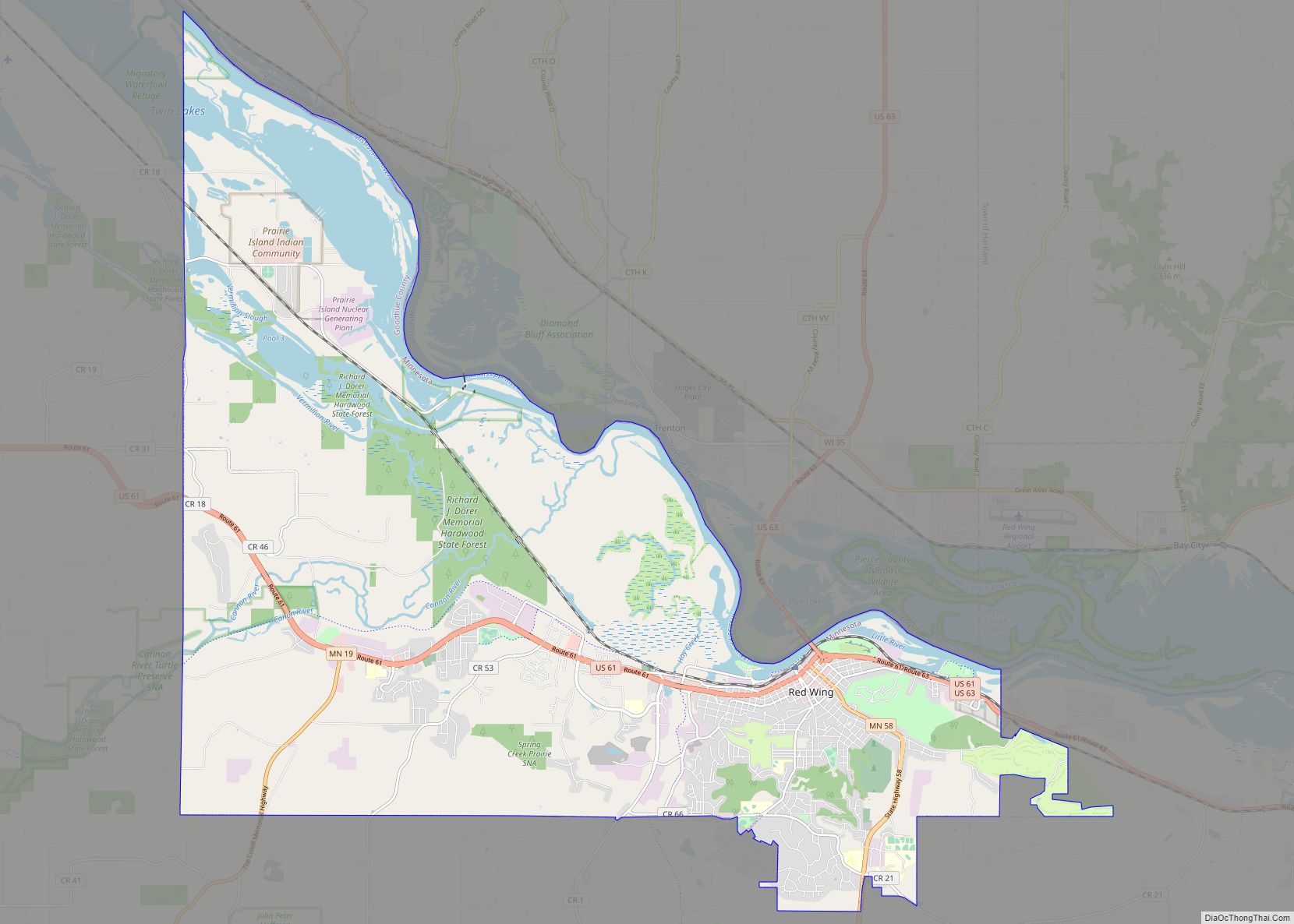
Online Interactive Map
Click on ![]() to view map in "full screen" mode.
to view map in "full screen" mode.
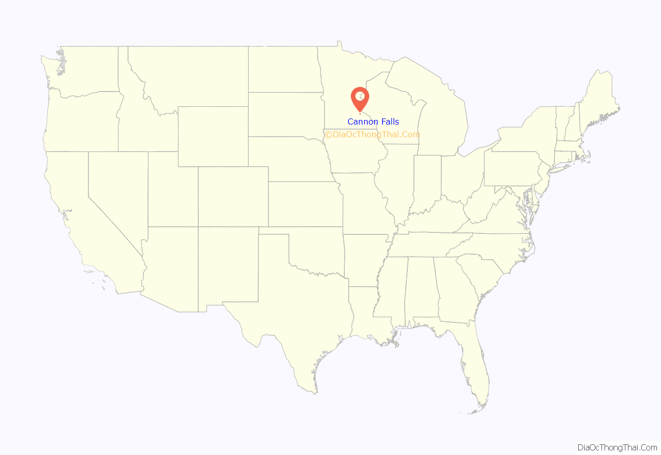
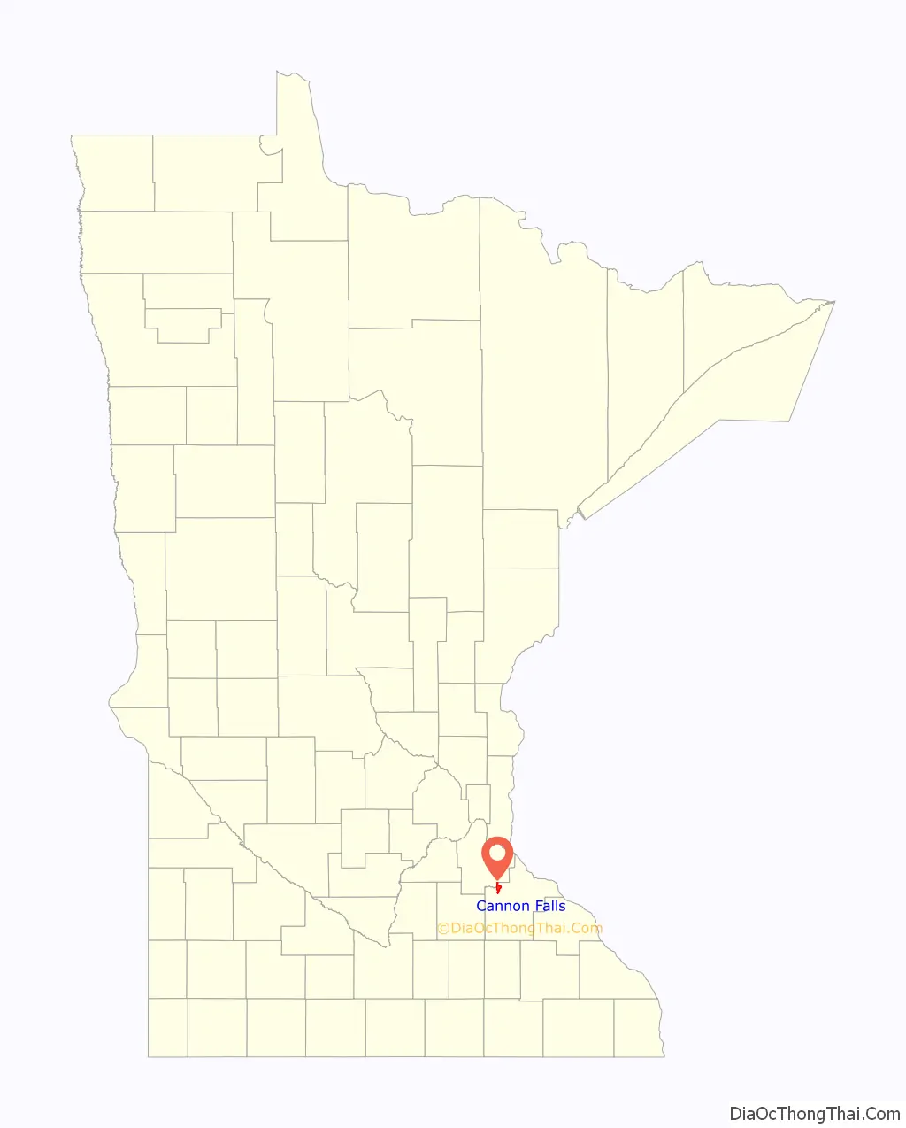
Cannon Falls location map. Where is Cannon Falls city?
History
The first settler was Edway Stoughton. A Charles Parks settled the land that is now Cannon Falls in July 1854. Cannon Falls village proper was laid out by Richard and William Freeborn and platted in 1855 by county surveyor S. A. Hart. The village was incorporated March 10, 1857. A post office was established as Cannon River Falls in 1855, and the name was shortened to Cannon Falls in 1889. Cannon Falls was reincorporated as a city in 1905.
An abundance of water power from both the Big and Little Cannon Rivers attracted manufacturers and capital investment. The first flouring mill was built by R. C. Knox & Co., in 1857. Other manufacturers, such as a wool mill, a grist mill, and a mill producing syrup from amber cane, used power generated from the Little Cannon River starting in 1861.
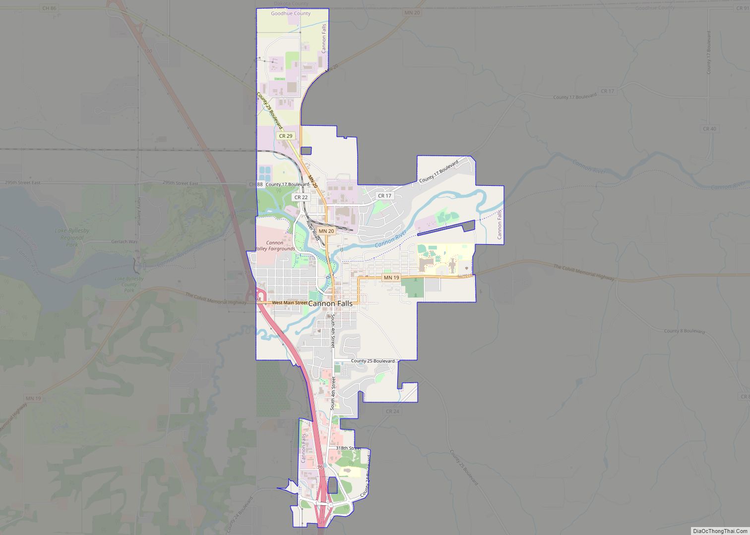
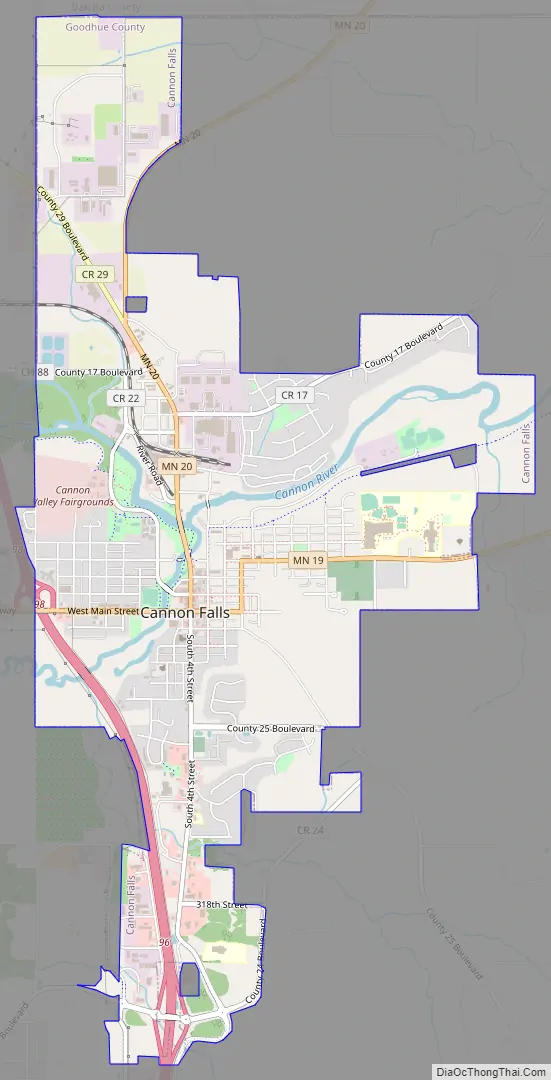
Cannon Falls Road Map
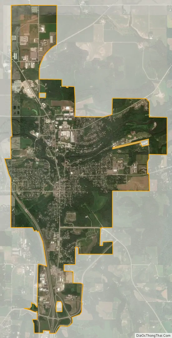
Cannon Falls city Satellite Map
Geography
According to the United States Census Bureau, the city has a total area of 4.45 square miles (11.53 km), of which 4.35 square miles (11.27 km) is land and 0.10 square miles (0.26 km) is water. U.S. Highway 52, State Highways 19 and 20, and County Road 24 are the main routes in the city.
Lake Byllesby, a reservoir of the Cannon River, lies just west of town.
See also
Map of Minnesota State and its subdivision:- Aitkin
- Anoka
- Becker
- Beltrami
- Benton
- Big Stone
- Blue Earth
- Brown
- Carlton
- Carver
- Cass
- Chippewa
- Chisago
- Clay
- Clearwater
- Cook
- Cottonwood
- Crow Wing
- Dakota
- Dodge
- Douglas
- Faribault
- Fillmore
- Freeborn
- Goodhue
- Grant
- Hennepin
- Houston
- Hubbard
- Isanti
- Itasca
- Jackson
- Kanabec
- Kandiyohi
- Kittson
- Koochiching
- Lac qui Parle
- Lake
- Lake of the Woods
- Lake Superior
- Le Sueur
- Lincoln
- Lyon
- Mahnomen
- Marshall
- Martin
- McLeod
- Meeker
- Mille Lacs
- Morrison
- Mower
- Murray
- Nicollet
- Nobles
- Norman
- Olmsted
- Otter Tail
- Pennington
- Pine
- Pipestone
- Polk
- Pope
- Ramsey
- Red Lake
- Redwood
- Renville
- Rice
- Rock
- Roseau
- Saint Louis
- Scott
- Sherburne
- Sibley
- Stearns
- Steele
- Stevens
- Swift
- Todd
- Traverse
- Wabasha
- Wadena
- Waseca
- Washington
- Watonwan
- Wilkin
- Winona
- Wright
- Yellow Medicine
- Alabama
- Alaska
- Arizona
- Arkansas
- California
- Colorado
- Connecticut
- Delaware
- District of Columbia
- Florida
- Georgia
- Hawaii
- Idaho
- Illinois
- Indiana
- Iowa
- Kansas
- Kentucky
- Louisiana
- Maine
- Maryland
- Massachusetts
- Michigan
- Minnesota
- Mississippi
- Missouri
- Montana
- Nebraska
- Nevada
- New Hampshire
- New Jersey
- New Mexico
- New York
- North Carolina
- North Dakota
- Ohio
- Oklahoma
- Oregon
- Pennsylvania
- Rhode Island
- South Carolina
- South Dakota
- Tennessee
- Texas
- Utah
- Vermont
- Virginia
- Washington
- West Virginia
- Wisconsin
- Wyoming