Carlton is a city in Carlton County, Minnesota, United States. The population was 948 at the 2020 census. It is the county seat of Carlton County. The town sits on the northwestern edge of Jay Cooke State Park.
Minnesota State Highways 45 and 210 and County Roads 1 and 3 are four of Carlton’s main routes. It is five miles south of Cloquet and 21 miles southwest of Duluth.
| Name: | Carlton city |
|---|---|
| LSAD Code: | 25 |
| LSAD Description: | city (suffix) |
| State: | Minnesota |
| County: | Carlton County |
| Elevation: | 1,083 ft (330 m) |
| Total Area: | 4.00 sq mi (10.37 km²) |
| Land Area: | 3.77 sq mi (9.76 km²) |
| Water Area: | 0.23 sq mi (0.60 km²) |
| Total Population: | 948 |
| Population Density: | 251.53/sq mi (97.12/km²) |
| ZIP code: | 55718 |
| Area code: | 218 |
| FIPS code: | 2710018 |
| GNISfeature ID: | 0640914 |
| Website: | www.cityofcarlton.com |
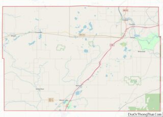
Online Interactive Map
Click on ![]() to view map in "full screen" mode.
to view map in "full screen" mode.
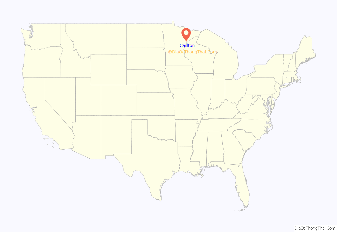
Carlton location map. Where is Carlton city?
History
In 1870, the Northern Pacific Railroad finished a stretch of track that linked Duluth to St. Paul. Temporary shacks were erected for the workmen at the place that was soon known as “Northern Pacific Junction”. In 1881, this settlement was incorporated as Carlton. It takes its name from former State Senator Reuben B. Carlton.
Thomson merged with Carlton in 2015.
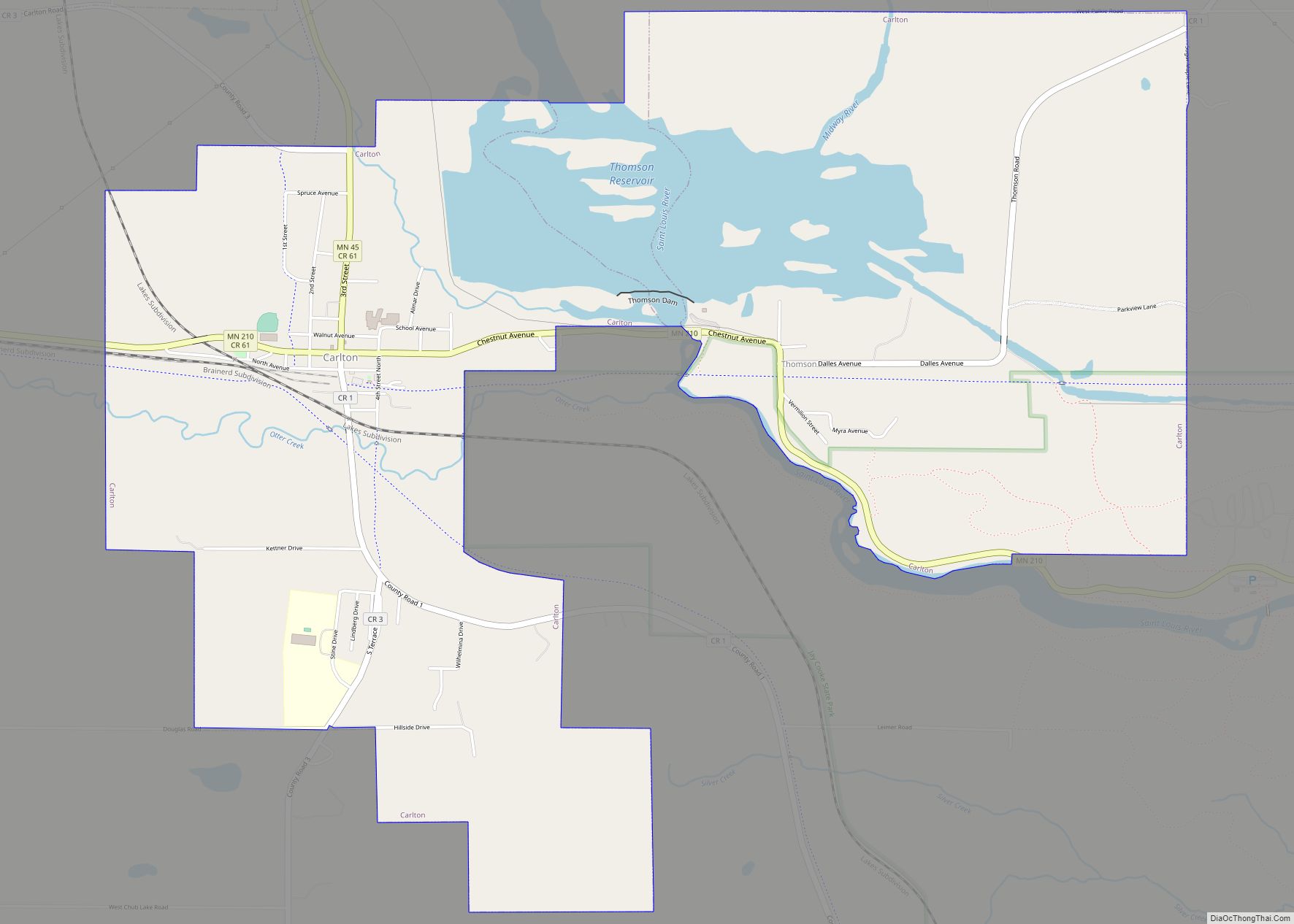
Carlton Road Map
Carlton city Satellite Map
Geography
According to the United States Census Bureau, the city has an area of 2.27 square miles (5.88 km), of which 2.06 square miles (5.34 km) is land and 0.21 square miles (0.54 km) is water.
The Saint Louis River is nearby. Carlton is the home of Black Bear Casino Resort.
Thomson Dam, Thomson Reservoir, and Jay Cooke State Park are also nearby, and the Willard Munger Bicycle Trail runs through the city of Carlton.
See also
Map of Minnesota State and its subdivision:- Aitkin
- Anoka
- Becker
- Beltrami
- Benton
- Big Stone
- Blue Earth
- Brown
- Carlton
- Carver
- Cass
- Chippewa
- Chisago
- Clay
- Clearwater
- Cook
- Cottonwood
- Crow Wing
- Dakota
- Dodge
- Douglas
- Faribault
- Fillmore
- Freeborn
- Goodhue
- Grant
- Hennepin
- Houston
- Hubbard
- Isanti
- Itasca
- Jackson
- Kanabec
- Kandiyohi
- Kittson
- Koochiching
- Lac qui Parle
- Lake
- Lake of the Woods
- Lake Superior
- Le Sueur
- Lincoln
- Lyon
- Mahnomen
- Marshall
- Martin
- McLeod
- Meeker
- Mille Lacs
- Morrison
- Mower
- Murray
- Nicollet
- Nobles
- Norman
- Olmsted
- Otter Tail
- Pennington
- Pine
- Pipestone
- Polk
- Pope
- Ramsey
- Red Lake
- Redwood
- Renville
- Rice
- Rock
- Roseau
- Saint Louis
- Scott
- Sherburne
- Sibley
- Stearns
- Steele
- Stevens
- Swift
- Todd
- Traverse
- Wabasha
- Wadena
- Waseca
- Washington
- Watonwan
- Wilkin
- Winona
- Wright
- Yellow Medicine
- Alabama
- Alaska
- Arizona
- Arkansas
- California
- Colorado
- Connecticut
- Delaware
- District of Columbia
- Florida
- Georgia
- Hawaii
- Idaho
- Illinois
- Indiana
- Iowa
- Kansas
- Kentucky
- Louisiana
- Maine
- Maryland
- Massachusetts
- Michigan
- Minnesota
- Mississippi
- Missouri
- Montana
- Nebraska
- Nevada
- New Hampshire
- New Jersey
- New Mexico
- New York
- North Carolina
- North Dakota
- Ohio
- Oklahoma
- Oregon
- Pennsylvania
- Rhode Island
- South Carolina
- South Dakota
- Tennessee
- Texas
- Utah
- Vermont
- Virginia
- Washington
- West Virginia
- Wisconsin
- Wyoming
