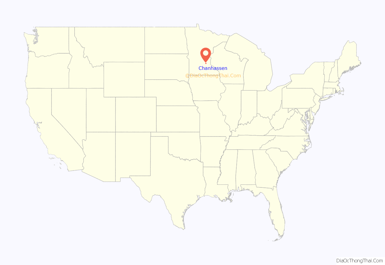
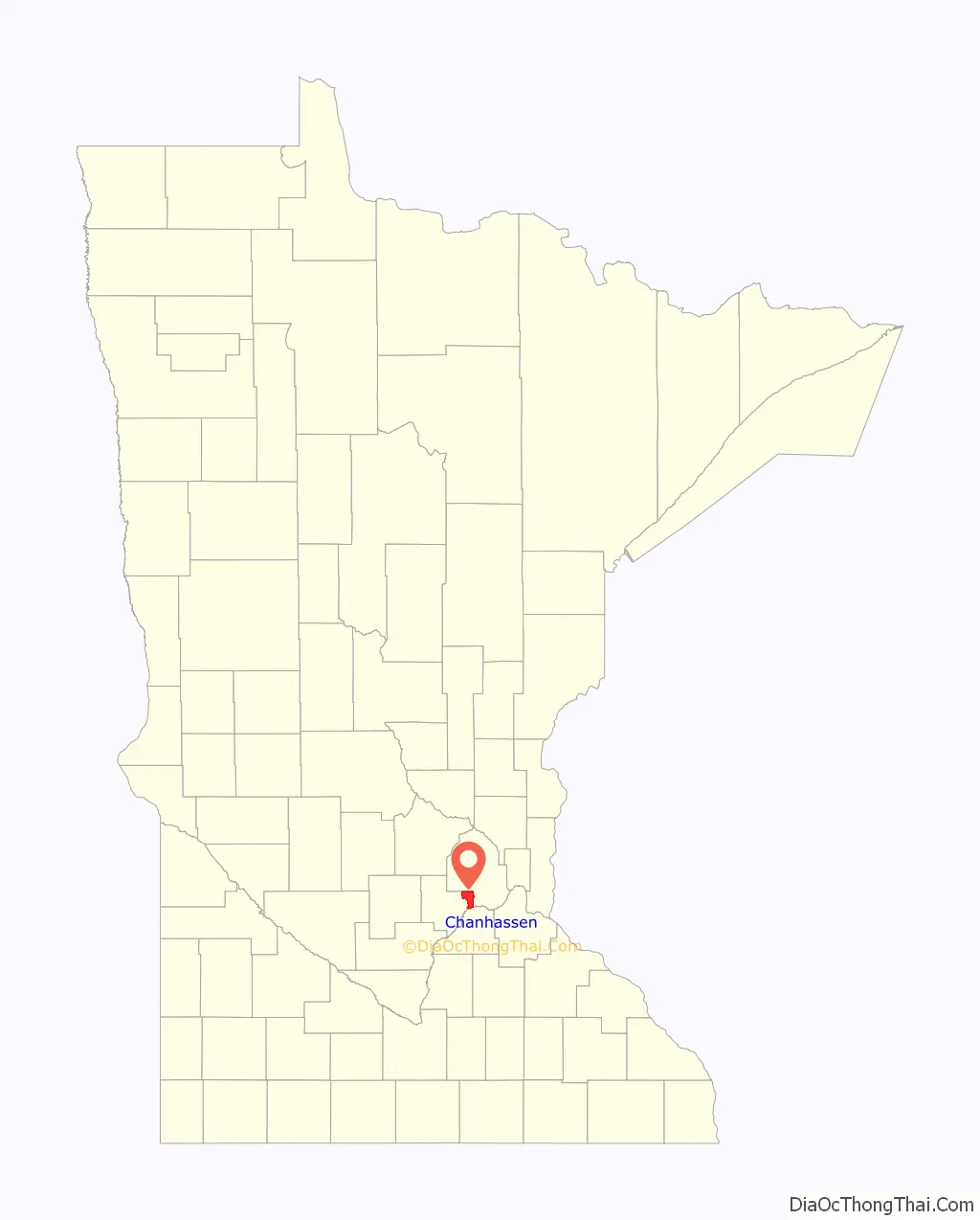
Chanhassen (/ˈtʃænhæsən/ CHAN-hass-ən) is a city about 16 miles (26 kilometres) southwest of Minneapolis in Carver County and partially in Hennepin County, Minnesota, United States. The southwest edge of the Minneapolis–Saint Paul suburbs, there is a mix of residential neighborhoods and rural landscapes. The population was 25,947 at the 2020 census.
| Name: | Chanhassen city |
|---|---|
| LSAD Code: | 25 |
| LSAD Description: | city (suffix) |
| State: | Minnesota |
| County: | Carver County, Hennepin County |
| Elevation: | 974 ft (295 m) |
| Total Area: | 22.80 sq mi (59.06 km²) |
| Land Area: | 20.36 sq mi (52.73 km²) |
| Water Area: | 2.44 sq mi (6.33 km²) |
| Total Population: | 25,947 |
| Population Density: | 1,274.35/sq mi (492.04/km²) |
| ZIP code: | 55317 |
| Area code: | 952 |
| FIPS code: | 2710918 |
| GNISfeature ID: | 0641106 |
Online Interactive Map
Click on ![]() to view map in "full screen" mode.
to view map in "full screen" mode.
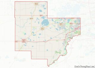
Chanhassen location map. Where is Chanhassen city?
History
The origin of the name comes from the Dakota word chanhasen meaning “sugar-maple tree” (chan, tree; haza, a tree with sap). The northern metro area Hassan Township carried the latter morpheme of the word prior to its merger with the city of Rogers to avoid confusion. Chanhassen merged with Chanhassen Township in 1967, bringing the population to 4,200.
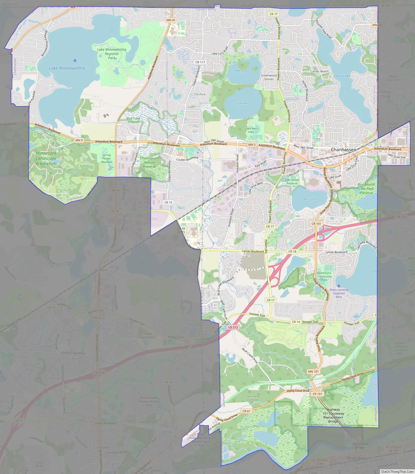
Chanhassen Road Map
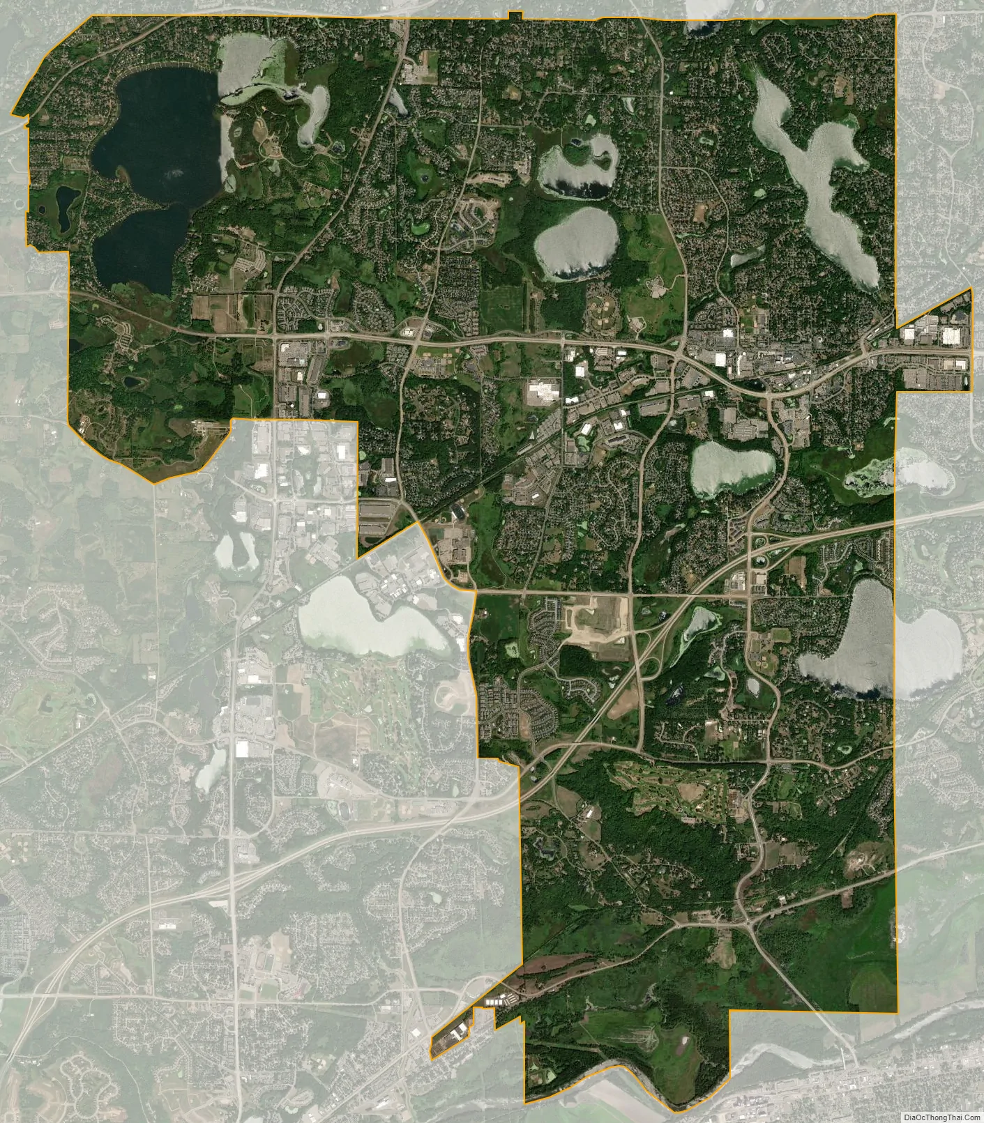
Chanhassen city Satellite Map
Geography
According to the United States Census Bureau, the city has a total area of 22.88 square miles (59.26 km), of which 20.44 square miles (52.94 km) is land and 2.44 square miles (6.32 km) is water. Although the bulk of Chanhassen is in Carver County, a small portion also extends into Hennepin County.
U.S. Highway 212 and Minnesota State Highways 5 and 41 are three of the main routes in Chanhassen.
Township 116 North, Range 23 West, Fifth Principal Meridian of the Public Land Survey System.
Climate
See also
Map of Minnesota State and its subdivision:- Aitkin
- Anoka
- Becker
- Beltrami
- Benton
- Big Stone
- Blue Earth
- Brown
- Carlton
- Carver
- Cass
- Chippewa
- Chisago
- Clay
- Clearwater
- Cook
- Cottonwood
- Crow Wing
- Dakota
- Dodge
- Douglas
- Faribault
- Fillmore
- Freeborn
- Goodhue
- Grant
- Hennepin
- Houston
- Hubbard
- Isanti
- Itasca
- Jackson
- Kanabec
- Kandiyohi
- Kittson
- Koochiching
- Lac qui Parle
- Lake
- Lake of the Woods
- Lake Superior
- Le Sueur
- Lincoln
- Lyon
- Mahnomen
- Marshall
- Martin
- McLeod
- Meeker
- Mille Lacs
- Morrison
- Mower
- Murray
- Nicollet
- Nobles
- Norman
- Olmsted
- Otter Tail
- Pennington
- Pine
- Pipestone
- Polk
- Pope
- Ramsey
- Red Lake
- Redwood
- Renville
- Rice
- Rock
- Roseau
- Saint Louis
- Scott
- Sherburne
- Sibley
- Stearns
- Steele
- Stevens
- Swift
- Todd
- Traverse
- Wabasha
- Wadena
- Waseca
- Washington
- Watonwan
- Wilkin
- Winona
- Wright
- Yellow Medicine
- Alabama
- Alaska
- Arizona
- Arkansas
- California
- Colorado
- Connecticut
- Delaware
- District of Columbia
- Florida
- Georgia
- Hawaii
- Idaho
- Illinois
- Indiana
- Iowa
- Kansas
- Kentucky
- Louisiana
- Maine
- Maryland
- Massachusetts
- Michigan
- Minnesota
- Mississippi
- Missouri
- Montana
- Nebraska
- Nevada
- New Hampshire
- New Jersey
- New Mexico
- New York
- North Carolina
- North Dakota
- Ohio
- Oklahoma
- Oregon
- Pennsylvania
- Rhode Island
- South Carolina
- South Dakota
- Tennessee
- Texas
- Utah
- Vermont
- Virginia
- Washington
- West Virginia
- Wisconsin
- Wyoming