Crystal is a first-ring suburban city in Hennepin County, Minnesota, United States that is about 5 miles from Downtown Minneapolis. The population was 23,330 at the 2020 census. Minnesota State Highway 100 and County Road 81 are two of the main routes in the city.
| Name: | Crystal city |
|---|---|
| LSAD Code: | 25 |
| LSAD Description: | city (suffix) |
| State: | Minnesota |
| County: | Hennepin County |
| Founded: | 1866 |
| Elevation: | 892 ft (272 m) |
| Total Area: | 5.87 sq mi (15.21 km²) |
| Land Area: | 5.79 sq mi (14.99 km²) |
| Water Area: | 0.09 sq mi (0.22 km²) |
| Total Population: | 23,330 |
| Population Density: | 4,031.45/sq mi (1,556.63/km²) |
| ZIP code: | 55422, 55427, 55428, 55429 |
| Area code: | 763 |
| FIPS code: | 2714158 |
| GNISfeature ID: | 0642518 |
Online Interactive Map
Click on ![]() to view map in "full screen" mode.
to view map in "full screen" mode.
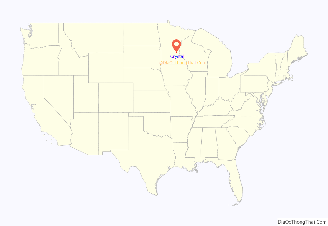
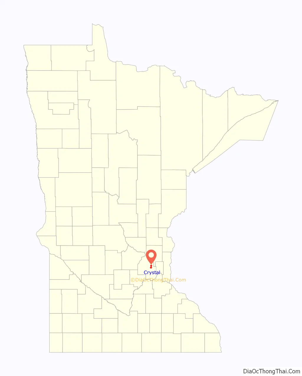
Crystal location map. Where is Crystal city?
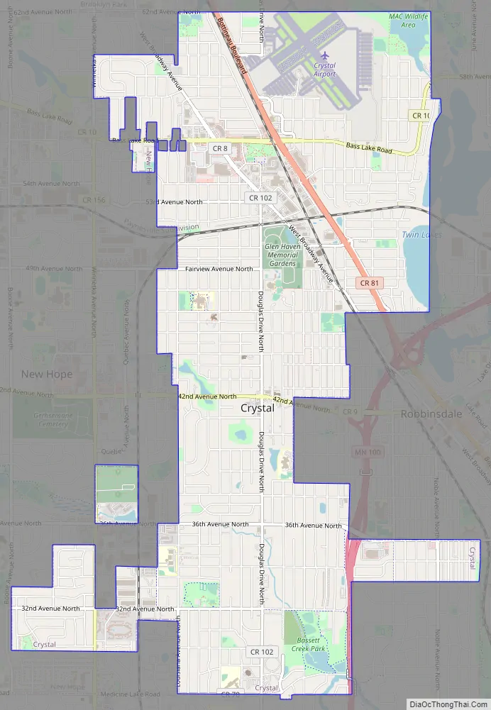
Crystal Road Map
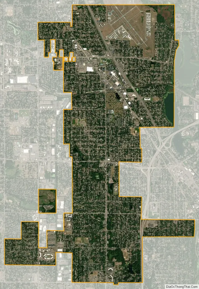
Crystal city Satellite Map
Geography
According to the United States Census Bureau, the city has a total area of 5.88 square miles (15.23 km), of which 5.78 square miles (14.97 km) is land and 0.10 square miles (0.26 km) is water.
City routes include Douglas Drive North, 36th Avenue North, 42nd Avenue North, and Bass Lake Road.
Crystal Airport, a small general aviation field, is located within the city limits.
The city is bordered on the north by the city of Brooklyn Park, on the northeast by Brooklyn Center, on the east by Robbinsdale, on the south by Golden Valley, and on the west by New Hope.
The City of Crystal has more than 240 acres dedicated to parks and open space. The city maintains 26 parks as well as numerous ball fields, courts, playgrounds, trails and activity areas. The Crystal Community Center features an outdoor aquatic center, skate park and little league baseball complex.
Crystal has been awarded the “Minnesota Star City” designation for economic development.
See also
Map of Minnesota State and its subdivision:- Aitkin
- Anoka
- Becker
- Beltrami
- Benton
- Big Stone
- Blue Earth
- Brown
- Carlton
- Carver
- Cass
- Chippewa
- Chisago
- Clay
- Clearwater
- Cook
- Cottonwood
- Crow Wing
- Dakota
- Dodge
- Douglas
- Faribault
- Fillmore
- Freeborn
- Goodhue
- Grant
- Hennepin
- Houston
- Hubbard
- Isanti
- Itasca
- Jackson
- Kanabec
- Kandiyohi
- Kittson
- Koochiching
- Lac qui Parle
- Lake
- Lake of the Woods
- Lake Superior
- Le Sueur
- Lincoln
- Lyon
- Mahnomen
- Marshall
- Martin
- McLeod
- Meeker
- Mille Lacs
- Morrison
- Mower
- Murray
- Nicollet
- Nobles
- Norman
- Olmsted
- Otter Tail
- Pennington
- Pine
- Pipestone
- Polk
- Pope
- Ramsey
- Red Lake
- Redwood
- Renville
- Rice
- Rock
- Roseau
- Saint Louis
- Scott
- Sherburne
- Sibley
- Stearns
- Steele
- Stevens
- Swift
- Todd
- Traverse
- Wabasha
- Wadena
- Waseca
- Washington
- Watonwan
- Wilkin
- Winona
- Wright
- Yellow Medicine
- Alabama
- Alaska
- Arizona
- Arkansas
- California
- Colorado
- Connecticut
- Delaware
- District of Columbia
- Florida
- Georgia
- Hawaii
- Idaho
- Illinois
- Indiana
- Iowa
- Kansas
- Kentucky
- Louisiana
- Maine
- Maryland
- Massachusetts
- Michigan
- Minnesota
- Mississippi
- Missouri
- Montana
- Nebraska
- Nevada
- New Hampshire
- New Jersey
- New Mexico
- New York
- North Carolina
- North Dakota
- Ohio
- Oklahoma
- Oregon
- Pennsylvania
- Rhode Island
- South Carolina
- South Dakota
- Tennessee
- Texas
- Utah
- Vermont
- Virginia
- Washington
- West Virginia
- Wisconsin
- Wyoming


