Eden Prairie is a city 12 miles (19 km) southwest of downtown Minneapolis in Hennepin County and the 16th-largest city in the State of Minnesota, United States. At the 2020 census, it had a population of 64,198. The city is adjacent to the north bank of the Minnesota River, upstream from its confluence with the Mississippi River.
Set in the Twin Cities’ outer suburbs, Eden Prairie is part of the southwest portion of Minneapolis–Saint Paul, the 16th-largest metropolitan area in the United States, with approximately 3.7 million residents. The community was designed as a mixed-income city model, and is home to 7,213 commercial firms, including the headquarters of SuperValu, C.H. Robinson Worldwide, Winnebago Industries, Starkey Hearing Technologies, Lifetouch Inc., SABIS, and MTS Systems Corporation. It contains the Eden Prairie Center mall and is the hub of SouthWest Transit, providing public transportation to three adjacent suburbs. The television stations KMSP and WFTC are based in Eden Prairie. The nonprofit news organization Eden Prairie Local News (EPLN) also serves the community.
The area features numerous municipal and regional parks, conservation areas, multi-purpose trails, and recreational facilities. There are more than 170 miles (270 km) of multi-use trails, 2,250 acres (9 km) of parks, and 1,300 acres (5 km) of open space. Popular recreational areas include Staring Lake, Lake Riley, Purgatory Creek, Miller Park, Round Lake, and the Minnesota River Bluffs Regional Trail.
Eden Prairie has been featured as one of Money magazine’s “Best Places to Live” in America several times since 2006. It earned first place in the 2010 survey and second place in 2016.
| Name: | Eden Prairie city |
|---|---|
| LSAD Code: | 25 |
| LSAD Description: | city (suffix) |
| State: | Minnesota |
| County: | Hennepin County |
| Founded: | 1858 |
| Incorporated: | October 22, 1962 |
| Elevation: | 886 ft (270 m) |
| Land Area: | 32.50 sq mi (84.17 km²) |
| Water Area: | 2.72 sq mi (7.05 km²) |
| Population Density: | 1,975.57/sq mi (762.76/km²) |
| ZIP code: | 55344, 55346, 55347 |
| Area code: | 952|612 |
| FIPS code: | 2718116 |
| GNISfeature ID: | 643164 |
| Website: | edenprairie.org |
Online Interactive Map
Click on ![]() to view map in "full screen" mode.
to view map in "full screen" mode.
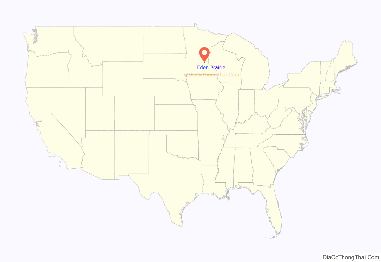
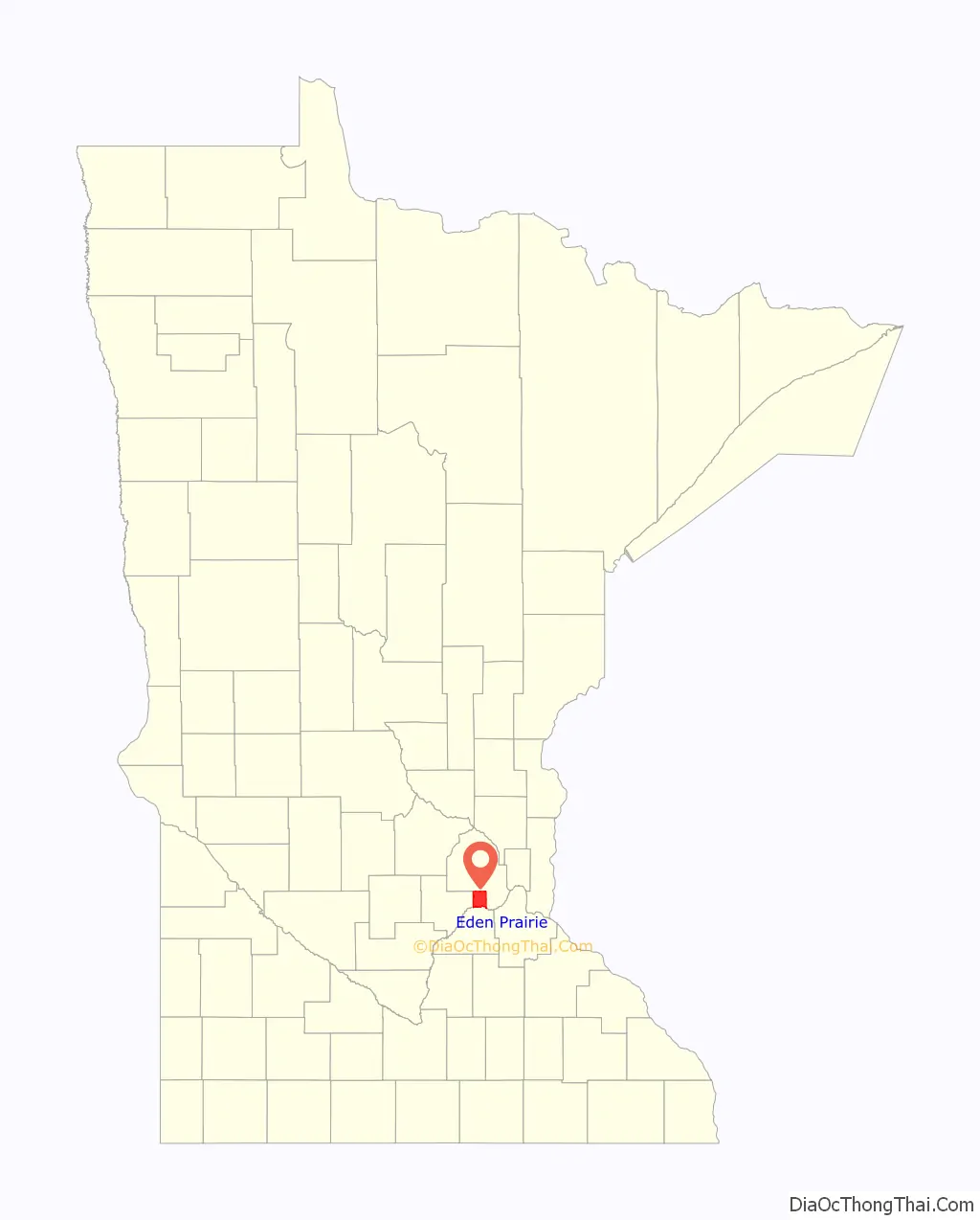
Eden Prairie location map. Where is Eden Prairie city?
History
For most of its existence, Eden Prairie was a slow-growing, pastoral village on the far southwest fringes of the Twin Cities. Between 1880 and 1960, Eden Prairie’s population only grew from about 739 to 2,000.
Native Americans were the first to live in the area. Originally, the land was part of the Great Dakota Nation, but when the Ojibwe arrived from the Great Lakes region, the tribes began to clash over the land. The Ojibwe were armed with knives and guns traded to them by white settlers and fur traders, and after years of bloody warfare the Ojibwe had forced the Dakota to give up all their land east of the Mississippi River, and north of the Crow Wing River, land that did not include what is now Eden Prairie.
In 1853, John H. McKenzie and Minnesota Territory secretary Alexander Wilkins platted the town of Hennepin along the Minnesota River in what is now southeastern Eden Prairie. According to area historian Helen Holden Anderson, topographic disadvantages for the transport of agricultural goods caused Hennepin to be eclipsed by other towns in the region, and the town soon vanished from maps.
On May 25, 1858, a battle was fought between the Dakota and the Ojibwe in the southern part of Eden Prairie, just north of the Minnesota River, an area known as Murphy’s Ferry. The Ojibwe wished to “avenge the murder” of one of their people by the Dakota the previous fall. The Ojibwe had 200 warriors and the Dakota somewhere between 60 and 70, but the Dakota proved victorious, wounding the young Ojibwe chief.
The tribes continued to fight over territory well into the 1860s, even after the “Sioux Uprising” of 1862, when most Dakota people were removed from Minnesota.
Among the notable Native Americans who lived in the Eden Prairie area was Chief Shoto. Born into the band of Chief Wabash, he went on to be the chief of the Red Wing Dakota tribe for 15 years, leaving them and becoming Chief of the “Little Six” band of Dakota until the uprising in 1862, during which he became a scout for then Governor Sibley from 1862 to 1870, returning to the Little Six band in 1872. He died in 1899 at age 99 at his home in Eden Prairie.
In 1851, a treaty opened land west of the Mississippi River to settlement allowing pioneers to settle in what is now Eden Prairie. Many early farmhouses remain in the town and can be found on the National Register of Historic Places. One of these early settlers was John Cummins, an Irish-born immigrant who built what is now known as the “Cummins-Phipps-Grill House” with his wife Mattie in 1880. Manuscripts indicate that Cummins was an avid and respected horticulturist, scientist, and farmer; he used his farmland to experiment with different strains of apples and grapes to try to find one that could withstand the harsh climate in Minnesota. The Cummins family sold this property to the Phipps family in 1908.
Eden Prairie’s town board held its first meeting in a log schoolhouse on May 11, 1858, the same day Minnesota became a state. Eden Prairie’s farming community grew slowly over the years. Flying Cloud Airport was the first sign of big development in 1946. The 1960s and 1970s were decades of growth for the city’s parks and recreation system. In the mid-1970s, the community gained a higher profile with the addition of Interstate Highway 494 and the Eden Prairie Center mall. Eden Prairie became a village in 1962 and a statutory city in 1974. One of Eden Prairie’s popular lakes, Staring Lake, is named for Jonas Platt Staring (1809–1894), who built the first house by the lake.
Etymology
The city was originally named “Eden” in 1853 by the writer Elizabeth F. Ellet, who chose the name because of her admiration of the “beautiful prairie” that occupies the southern part of town.
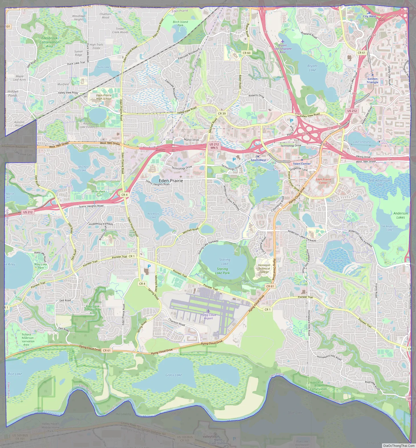
Eden Prairie Road Map
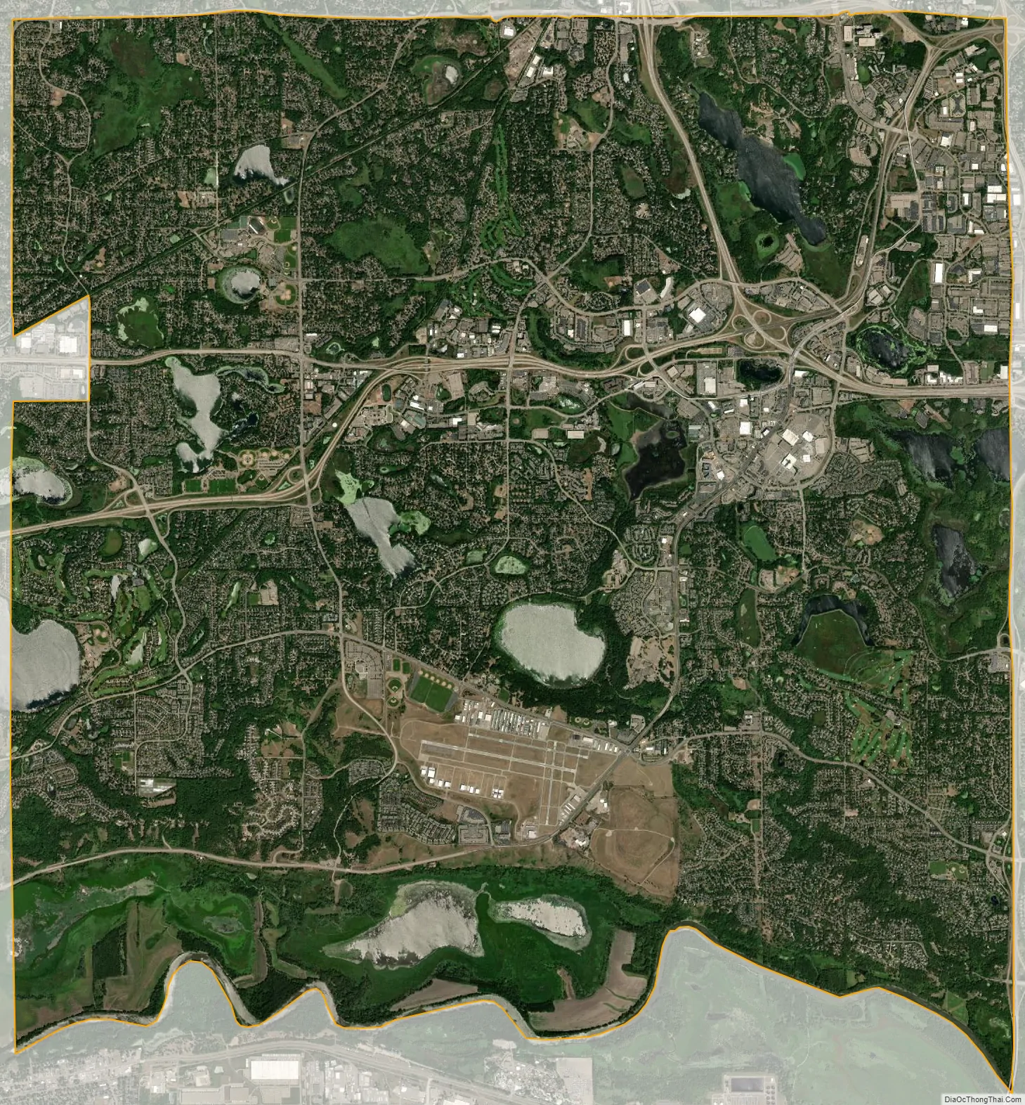
Eden Prairie city Satellite Map
Geography
Eden Prairie is about 11 miles (18 km) southwest of Minneapolis along the northern side of the Minnesota River.
Interstate 494, U.S. Highways 169 and 212, and Minnesota State Highway 5 are four of the city’s main routes.
Eden Prairie’s land consists of rolling hills and bluffs overlooking the Minnesota River, with zones of prairie and mixed (primarily deciduous) forests. Eden Prairie has parks, such as Staring Lake Park and Bryant Lakes Regional Park, with trails for running and biking.
According to the United States Census Bureau, the city has an area of 35.19 square miles (91.14 km), of which 32.45 square miles (84.05 km) is land and 2.74 square miles (7.10 km) is water.
See also
Map of Minnesota State and its subdivision:- Aitkin
- Anoka
- Becker
- Beltrami
- Benton
- Big Stone
- Blue Earth
- Brown
- Carlton
- Carver
- Cass
- Chippewa
- Chisago
- Clay
- Clearwater
- Cook
- Cottonwood
- Crow Wing
- Dakota
- Dodge
- Douglas
- Faribault
- Fillmore
- Freeborn
- Goodhue
- Grant
- Hennepin
- Houston
- Hubbard
- Isanti
- Itasca
- Jackson
- Kanabec
- Kandiyohi
- Kittson
- Koochiching
- Lac qui Parle
- Lake
- Lake of the Woods
- Lake Superior
- Le Sueur
- Lincoln
- Lyon
- Mahnomen
- Marshall
- Martin
- McLeod
- Meeker
- Mille Lacs
- Morrison
- Mower
- Murray
- Nicollet
- Nobles
- Norman
- Olmsted
- Otter Tail
- Pennington
- Pine
- Pipestone
- Polk
- Pope
- Ramsey
- Red Lake
- Redwood
- Renville
- Rice
- Rock
- Roseau
- Saint Louis
- Scott
- Sherburne
- Sibley
- Stearns
- Steele
- Stevens
- Swift
- Todd
- Traverse
- Wabasha
- Wadena
- Waseca
- Washington
- Watonwan
- Wilkin
- Winona
- Wright
- Yellow Medicine
- Alabama
- Alaska
- Arizona
- Arkansas
- California
- Colorado
- Connecticut
- Delaware
- District of Columbia
- Florida
- Georgia
- Hawaii
- Idaho
- Illinois
- Indiana
- Iowa
- Kansas
- Kentucky
- Louisiana
- Maine
- Maryland
- Massachusetts
- Michigan
- Minnesota
- Mississippi
- Missouri
- Montana
- Nebraska
- Nevada
- New Hampshire
- New Jersey
- New Mexico
- New York
- North Carolina
- North Dakota
- Ohio
- Oklahoma
- Oregon
- Pennsylvania
- Rhode Island
- South Carolina
- South Dakota
- Tennessee
- Texas
- Utah
- Vermont
- Virginia
- Washington
- West Virginia
- Wisconsin
- Wyoming


