Edina (locally /iːˈdaɪnə/ (listen) ee-DY-nə, /ɪˈdaɪnə/ ih-DY-nə) is a city in Hennepin County, Minnesota, United States and a first-ring suburb of Minneapolis. The population was 53,494 at the 2020 census, making it the 18th most populous city in Minnesota.
Edina began as a small farming and milling community along Minnehaha Creek in the 1860s and became one of Minneapolis’s first incorporated suburbs in 1888. After years of being a streetcar suburb, Edina saw expanded development as a car-centric suburb in the 1950s and 1960s.
The city is known for its shopping, parks, and high quality of life and also plays host to the nation’s oldest indoor mall, the Southdale Center.
| Name: | Edina city |
|---|---|
| LSAD Code: | 25 |
| LSAD Description: | city (suffix) |
| State: | Minnesota |
| County: | Hennepin County |
| Founded: | 1860s |
| Incorporated: | 1888 |
| Elevation: | 922 ft (281 m) |
| Land Area: | 15.46 sq mi (40.03 km²) |
| Water Area: | 0.51 sq mi (1.31 km²) 3.26% |
| Population Density: | 3,461.05/sq mi (1,336.31/km²) |
| ZIP code: | 55410, 55416, 55424, 55435, 55436, 55439, 55343 |
| Area code: | 952 |
| FIPS code: | 2718188 |
| GNISfeature ID: | 0643177 |
| Website: | edinamn.gov |
Online Interactive Map
Click on ![]() to view map in "full screen" mode.
to view map in "full screen" mode.
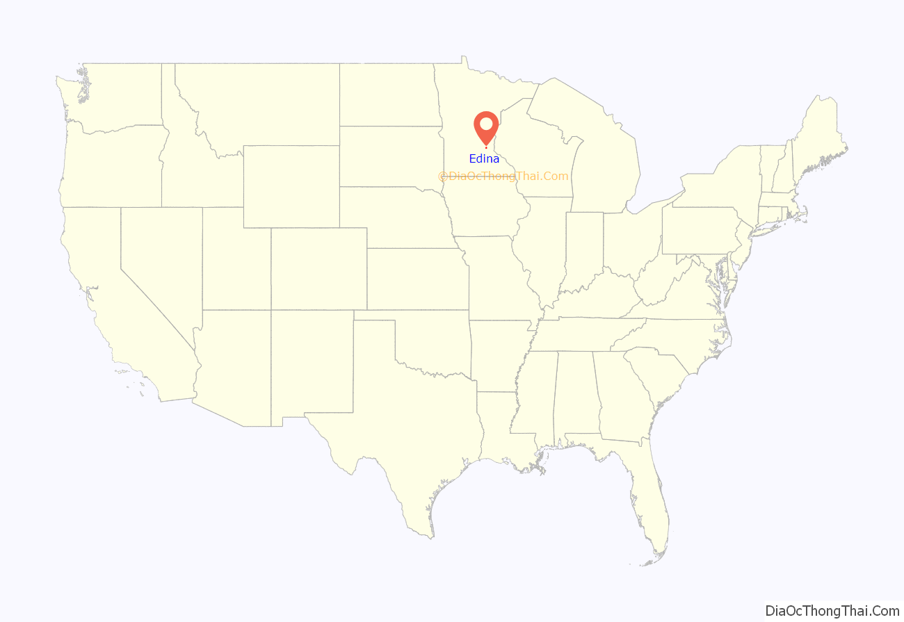
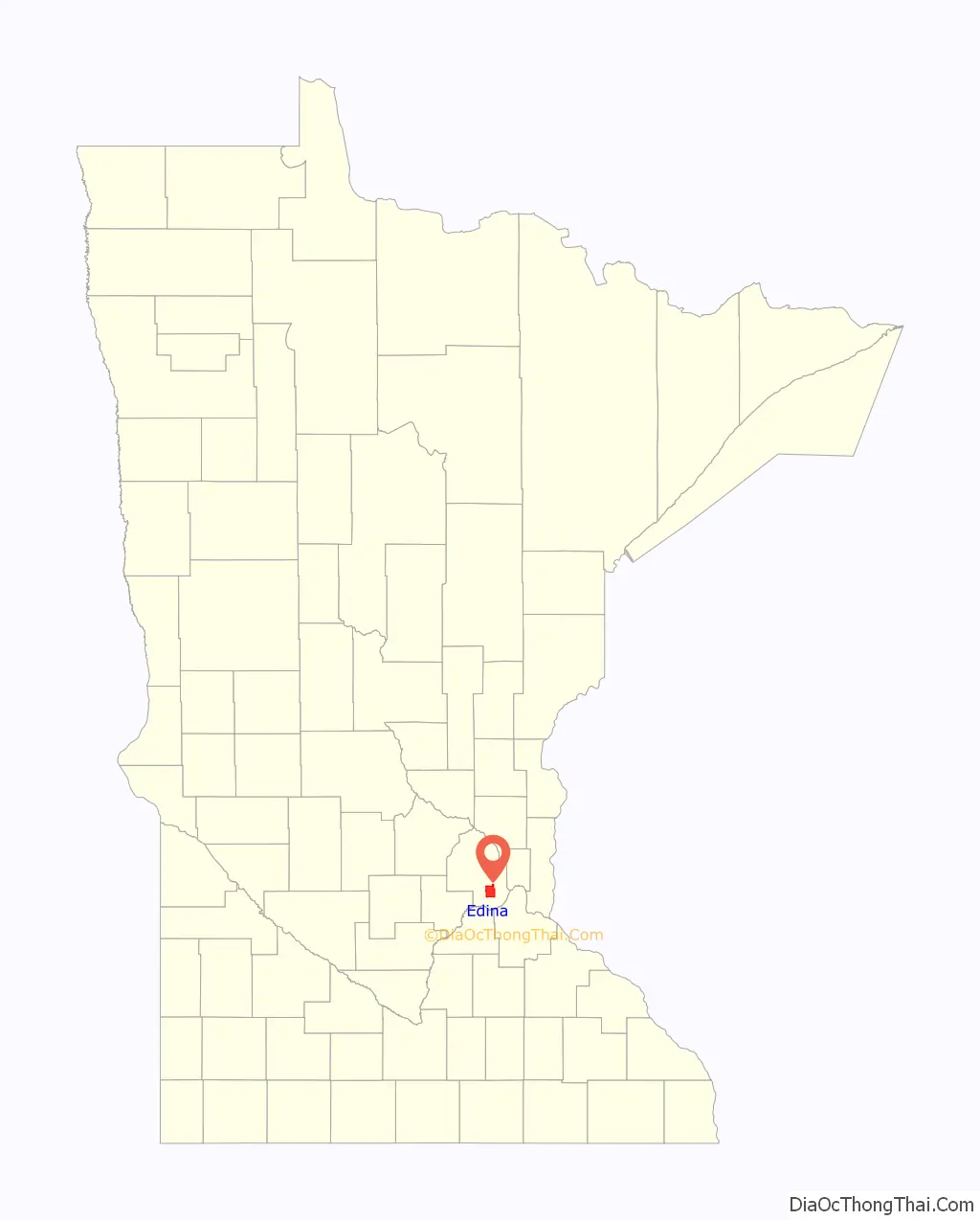
Edina location map. Where is Edina city?
History
Settlement
Edina began as part of Richfield Township, Minnesota. By the 1870s, 17 families, most of them immigrating as a result of the Great Famine of Ireland, had come to Minnesota and claimed land in the southwest section of what was then Richfield Township. They were followed by settlers from New England and Germany, who claimed additional land near Minnehaha Creek. The Baird and Grimes neighborhoods (which are both listed on the National Register of Historic Places) and the Country Club District (then known as Waterville Mills) in the northeast part of Edina were among the first areas to be established. The area then known as the Cahill Settlement, at West 70th Street and Cahill Road, was also an early community center and the home of Cahill School.
In 1888, the residents of the township held a meeting to consider founding a new village, thus separating themselves from Richfield Township. The idea was favorably accepted by those within the community and a committee was established to oversee the transition.
Naming
After the decision was made to form a new village, a debate ensued regarding the naming of the new village. Several town meetings were held in the Minnehaha Grange Hall, during which the names Hennepin Park, Westfield and Edina were suggested. Minutes taken by Henry F. Brown, a farmer and future owner (1889) of the Edina Mill, are summarized as follows:
At the next meeting, the name Edina was finally chosen with a vote of 47 for and 42 against.
There has been a prevailing myth about the decision to name the new village Edina, which states that two opposing communities—the Irish Cahill community and the Scottish Mill community—fought about whether to give the community an Irish name (Killarney Lakes) or a Scottish name (Edina). The 1860 census, however, indicates that there were no Scottish people in Edina in 1860, and only a couple were present at the time of Edina’s founding (1888).
The name Edina is also recorded to come from the language of nearby Dakota tribe; Edina or Dakota: Idéna, meaning “to catch fire”.
Morningside
The first suburban development in Edina occurred during the early 1900s in Morningside, a neighborhood in the northeastern part of the village. As Morningside grew, conflict arose between its residents who wanted more city services, and the residents of the rest of the village who wanted to maintain Edina’s rural character. As a result of that conflict, Morningside seceded from Edina in 1920 and became a separate village. In 1966, however, the Village of Morningside once again became part of Edina.
Early settlement
Edina was not the first settlement in its location. According to historian Deborah Morse-Kahn, the Quaker village that existed where Edina would be built included African American families of Civil War veterans and freed slaves “became very involved in community life—especially as farmland owners, civic and cultural leaders.” At the November 1898 general election, J. Frank Wheaton, a Republican African American, was elected to the Minnesota House of Representatives representing District 42, which included all of Edina. Wheaton beat his white Democratic opponent in every Minneapolis city ward and in every village within the legislative district, including Edina, even though the legislative district had only approximately 100 African American residents out of a total of 40,000 residents.
Early development
In the early 20th century suburban development brought discriminatory policies that led to nearly all of the African Americans who had been living in Edina to move away.
Historian James W. Loewen described the suburb as a sundown town. Researchers point in particular to Samuel Thorpe’s development of the Country Club Historic District, which used deed restrictions as means to exclude non-whites, stating explicitly that:
Other developments, like that built by N. P. Dodge Corporation just a mile away, followed suit in attempting to protect land values through racial policies. Though the Supreme Court ruled these kinds of discriminatory housing clauses unenforceable in its Shelley v. Kraemer decision of 1948, reports of discrimination persisted through the 1950s and 1960s. According to the Edina Historical Society’s story about the first black family in Morningside (then a separate village) in 1960, attempts to keep them out included tactics like trying “to get [their] lot condemned for drainage.” In response, then-mayor Ken Joyce wrote a note dismissing the drainage concern and challenging citizens “to live the Golden Rule”. Shortly thereafter the village voted in favor of inclusion.
Jewish residents were also affected by exclusionary deed covenants. In the 1960s, some residents boasted that Edina had “Not one Negro and not one Jew.”
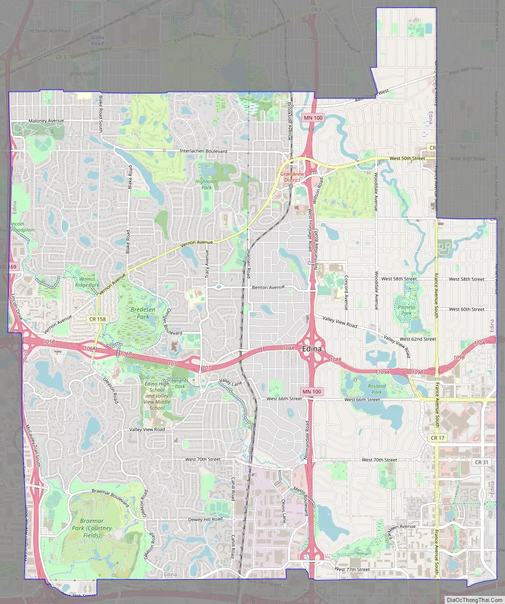
Edina Road Map
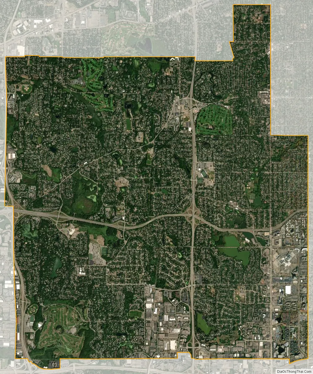
Edina city Satellite Map
Geography
According to the United States Census Bureau, the city has a total area of 15.97 square miles (41.36 km), of which 15.45 square miles (40.02 km) is land and 0.52 square miles (1.35 km) is water. Residential areas comprise the largest portion of the City, which is now more than 95 percent developed.
Within Edina are many different neighborhoods; Highlands, Indian Hills, Morningside, Country Club District, Cahill Village, Chapel Hill, South Harriet Park, Interlachen, Rolling Green, Presidents, Sunnyslope, White Oaks, Parkwood Knolls, Braemar Hills, Birchcrest, Dewey Hill and Hilldale.
See also
Map of Minnesota State and its subdivision:- Aitkin
- Anoka
- Becker
- Beltrami
- Benton
- Big Stone
- Blue Earth
- Brown
- Carlton
- Carver
- Cass
- Chippewa
- Chisago
- Clay
- Clearwater
- Cook
- Cottonwood
- Crow Wing
- Dakota
- Dodge
- Douglas
- Faribault
- Fillmore
- Freeborn
- Goodhue
- Grant
- Hennepin
- Houston
- Hubbard
- Isanti
- Itasca
- Jackson
- Kanabec
- Kandiyohi
- Kittson
- Koochiching
- Lac qui Parle
- Lake
- Lake of the Woods
- Lake Superior
- Le Sueur
- Lincoln
- Lyon
- Mahnomen
- Marshall
- Martin
- McLeod
- Meeker
- Mille Lacs
- Morrison
- Mower
- Murray
- Nicollet
- Nobles
- Norman
- Olmsted
- Otter Tail
- Pennington
- Pine
- Pipestone
- Polk
- Pope
- Ramsey
- Red Lake
- Redwood
- Renville
- Rice
- Rock
- Roseau
- Saint Louis
- Scott
- Sherburne
- Sibley
- Stearns
- Steele
- Stevens
- Swift
- Todd
- Traverse
- Wabasha
- Wadena
- Waseca
- Washington
- Watonwan
- Wilkin
- Winona
- Wright
- Yellow Medicine
- Alabama
- Alaska
- Arizona
- Arkansas
- California
- Colorado
- Connecticut
- Delaware
- District of Columbia
- Florida
- Georgia
- Hawaii
- Idaho
- Illinois
- Indiana
- Iowa
- Kansas
- Kentucky
- Louisiana
- Maine
- Maryland
- Massachusetts
- Michigan
- Minnesota
- Mississippi
- Missouri
- Montana
- Nebraska
- Nevada
- New Hampshire
- New Jersey
- New Mexico
- New York
- North Carolina
- North Dakota
- Ohio
- Oklahoma
- Oregon
- Pennsylvania
- Rhode Island
- South Carolina
- South Dakota
- Tennessee
- Texas
- Utah
- Vermont
- Virginia
- Washington
- West Virginia
- Wisconsin
- Wyoming


