Eveleth is a city in St. Louis County, Minnesota, United States. The population was 3,718 at the 2010 census.
U.S. Highway 53 and State Highway 37 (MN 37) are two of the main routes in Eveleth.
Eveleth was the site of the conflict that resulted in the court case Jenson v. Eveleth Taconite Co., and the film based on it, North Country. The United States Hockey Hall of Fame is in Eveleth.
Eveleth is part of the Quad Cities, with Virginia, Gilbert, and Mountain Iron.
| Name: | Eveleth city |
|---|---|
| LSAD Code: | 25 |
| LSAD Description: | city (suffix) |
| State: | Minnesota |
| County: | St. Louis County |
| Elevation: | 1,591 ft (485 m) |
| Total Area: | 6.48 sq mi (16.78 km²) |
| Land Area: | 6.30 sq mi (16.33 km²) |
| Water Area: | 0.17 sq mi (0.45 km²) |
| Total Population: | 3,493 |
| Population Density: | 554.09/sq mi (213.94/km²) |
| ZIP code: | 55734 |
| Area code: | 218 |
| FIPS code: | 2719934 |
| GNISfeature ID: | 0661233 |
Online Interactive Map
Click on ![]() to view map in "full screen" mode.
to view map in "full screen" mode.
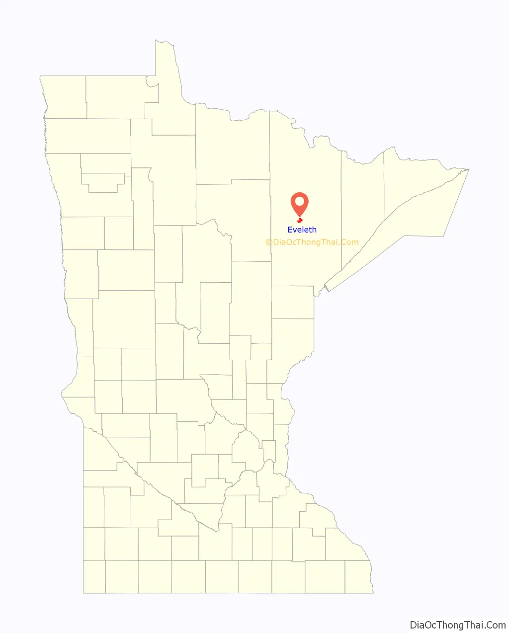
Eveleth location map. Where is Eveleth city?
History
The Village of Eveleth was platted on April 22, 1893, originally about 1 mile (1.6 km) southwest of the present location, on land then included in the Adams-Spruce Mine (Douglas Avenue between Jones and Monroe Streets). The community was named after Erwin Eveleth, a prominent employee of a timber company in the area. In 1895, iron ore was discovered beneath the village site and a post office was established. In 1900, the village moved to its present location. It was incorporated as a city in 1902. When the city expanded, it annexed portions of Fayal Township, including the former unincorporated communities of Alice Mine Station (in the Alice Location south of downtown) and Fayal. With further expansion, Eveleth annexed the unincorporated community of Genoa to its east. Eveleth first established its post office on February 9, 1895, with P. Ellard Dowling as commander-in-chief. Eveleth also had its first paper, The Eveleth Star, the same year.
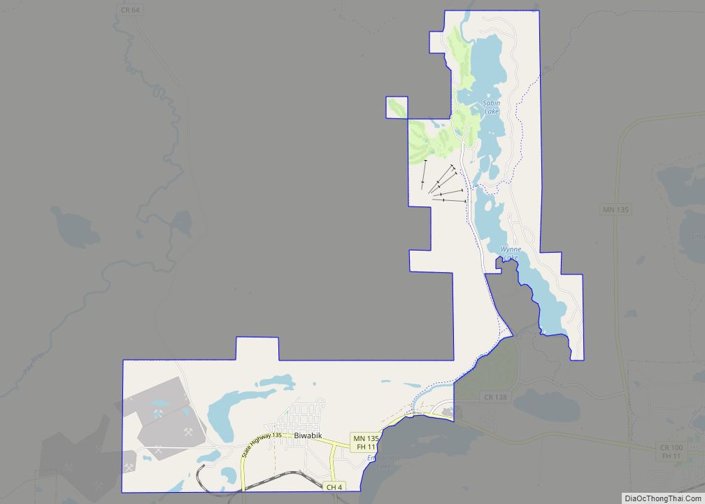
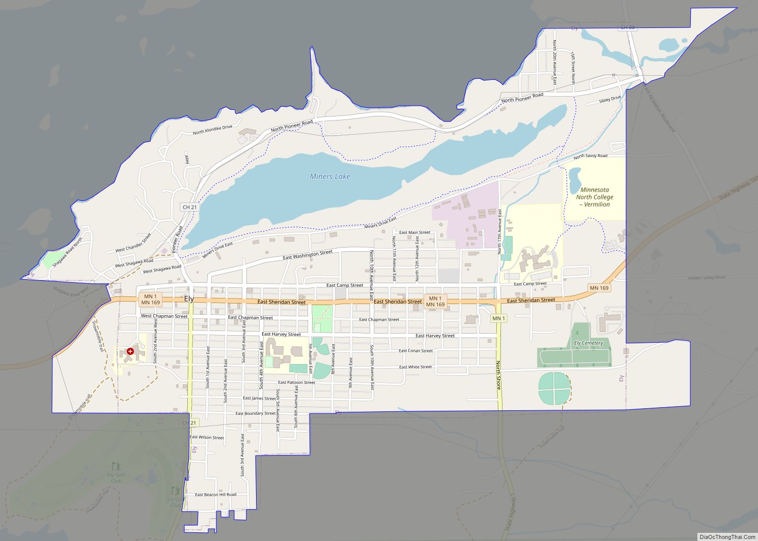
Eveleth Road Map
Eveleth city Satellite Map
Geography
According to the United States Census Bureau, the city has an area of 6.45 square miles (16.71 km); 6.29 square miles (16.29 km) is land and 0.16 square miles (0.41 km) is water.
Eveleth is in the Duluth MN-WI Metropolitan Statistical Area.
Climate
The Köppen Climate Classification subtype for this climate is “Dfb”. (Warm Summer Continental Climate). Summers are warm and winters are cold.
See also
Map of Minnesota State and its subdivision:- Aitkin
- Anoka
- Becker
- Beltrami
- Benton
- Big Stone
- Blue Earth
- Brown
- Carlton
- Carver
- Cass
- Chippewa
- Chisago
- Clay
- Clearwater
- Cook
- Cottonwood
- Crow Wing
- Dakota
- Dodge
- Douglas
- Faribault
- Fillmore
- Freeborn
- Goodhue
- Grant
- Hennepin
- Houston
- Hubbard
- Isanti
- Itasca
- Jackson
- Kanabec
- Kandiyohi
- Kittson
- Koochiching
- Lac qui Parle
- Lake
- Lake of the Woods
- Lake Superior
- Le Sueur
- Lincoln
- Lyon
- Mahnomen
- Marshall
- Martin
- McLeod
- Meeker
- Mille Lacs
- Morrison
- Mower
- Murray
- Nicollet
- Nobles
- Norman
- Olmsted
- Otter Tail
- Pennington
- Pine
- Pipestone
- Polk
- Pope
- Ramsey
- Red Lake
- Redwood
- Renville
- Rice
- Rock
- Roseau
- Saint Louis
- Scott
- Sherburne
- Sibley
- Stearns
- Steele
- Stevens
- Swift
- Todd
- Traverse
- Wabasha
- Wadena
- Waseca
- Washington
- Watonwan
- Wilkin
- Winona
- Wright
- Yellow Medicine
- Alabama
- Alaska
- Arizona
- Arkansas
- California
- Colorado
- Connecticut
- Delaware
- District of Columbia
- Florida
- Georgia
- Hawaii
- Idaho
- Illinois
- Indiana
- Iowa
- Kansas
- Kentucky
- Louisiana
- Maine
- Maryland
- Massachusetts
- Michigan
- Minnesota
- Mississippi
- Missouri
- Montana
- Nebraska
- Nevada
- New Hampshire
- New Jersey
- New Mexico
- New York
- North Carolina
- North Dakota
- Ohio
- Oklahoma
- Oregon
- Pennsylvania
- Rhode Island
- South Carolina
- South Dakota
- Tennessee
- Texas
- Utah
- Vermont
- Virginia
- Washington
- West Virginia
- Wisconsin
- Wyoming

