Hawley is a town in Clay County, Minnesota, United States, along the Buffalo River. The population was 2,219 at the 2020 census. The town went through six quick name changes after 1871 until, in 1872, it was finally named after Thomas Hawley Canfield, an officer in the Northern Pacific Railway, which laid out the town. General George Custer visited the town in 1876. The incident was recalled in WCCO Television’s short film Incident at Hawley, which aired during America’s bicentennial year of 1976.
In 2007, the town started an ad campaign called “Hawley Would” (a pun on “Hollywood”). The campaign focuses on both Hawley’s small-town atmosphere and its proximity to the Fargo-Moorhead metropolitan area; Hawley is 22 miles from downtown Fargo.
Hawley was at one time settled by a colony of immigrants from Yeovil, Somerset; among these was Elisabeth Chant, later a painter in Minneapolis.
| Name: | Hawley city |
|---|---|
| LSAD Code: | 25 |
| LSAD Description: | city (suffix) |
| State: | Minnesota |
| County: | Clay County |
| Elevation: | 1,152 ft (351 m) |
| Total Area: | 2.46 sq mi (6.38 km²) |
| Land Area: | 2.46 sq mi (6.37 km²) |
| Water Area: | 0.00 sq mi (0.01 km²) |
| Total Population: | 2,219 |
| Population Density: | 901.67/sq mi (348.13/km²) |
| ZIP code: | 56549 |
| Area code: | 218 |
| FIPS code: | 2727746 |
| GNISfeature ID: | 0644744 |
| Website: | hawley.gov |
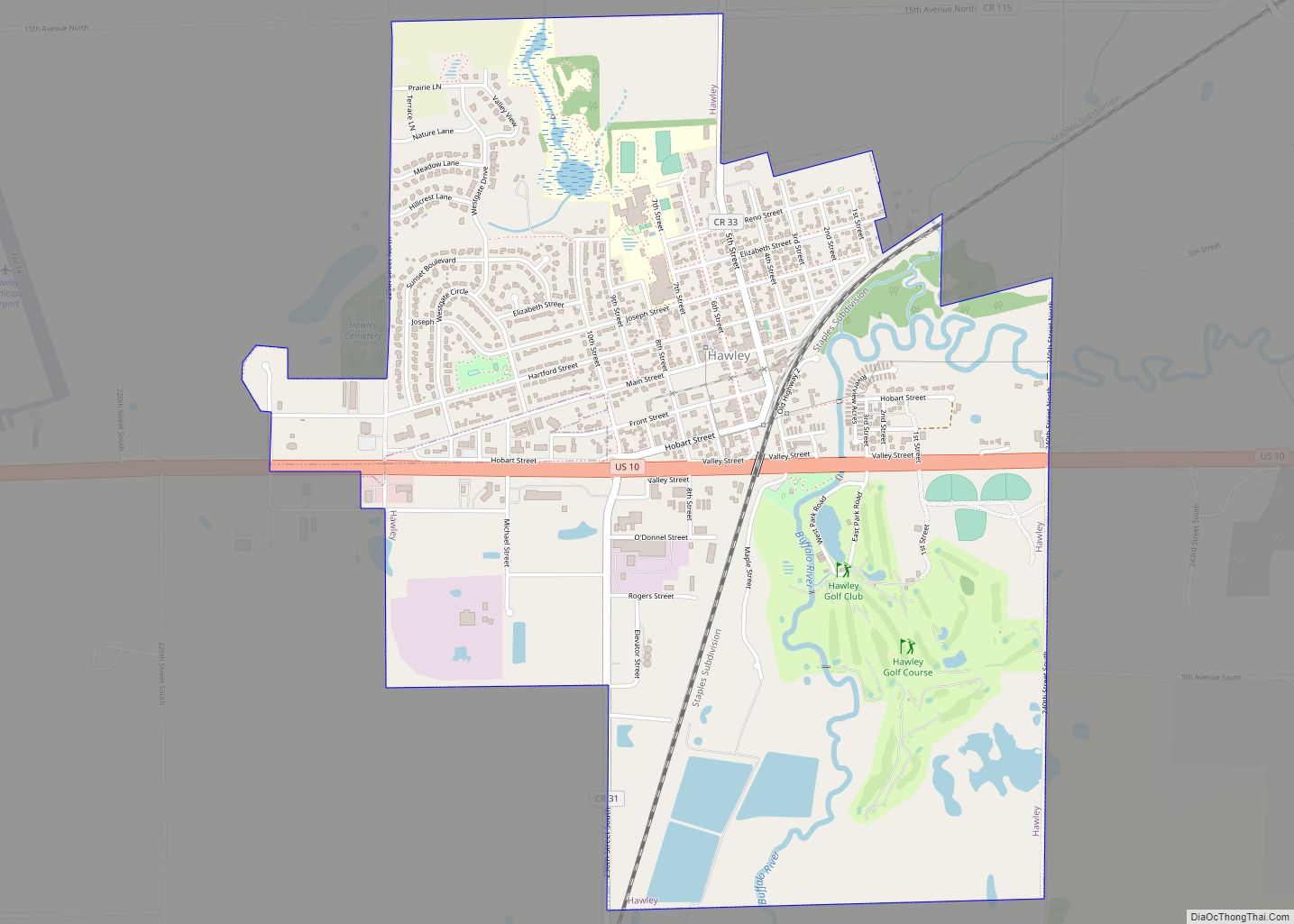
Online Interactive Map
Click on ![]() to view map in "full screen" mode.
to view map in "full screen" mode.
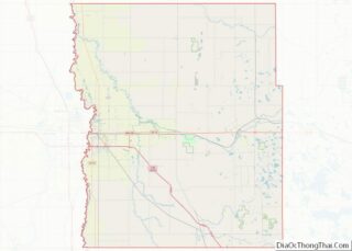
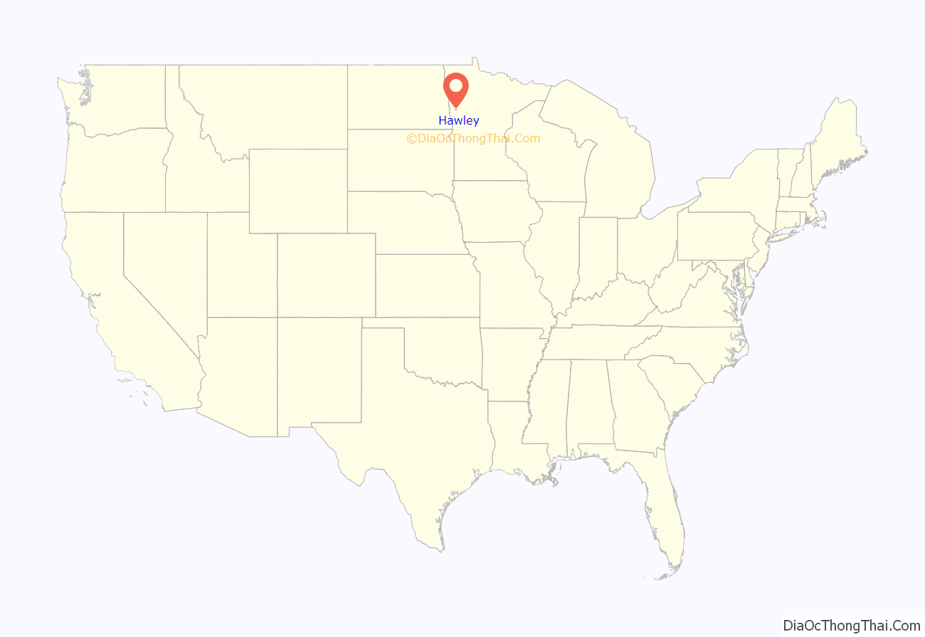
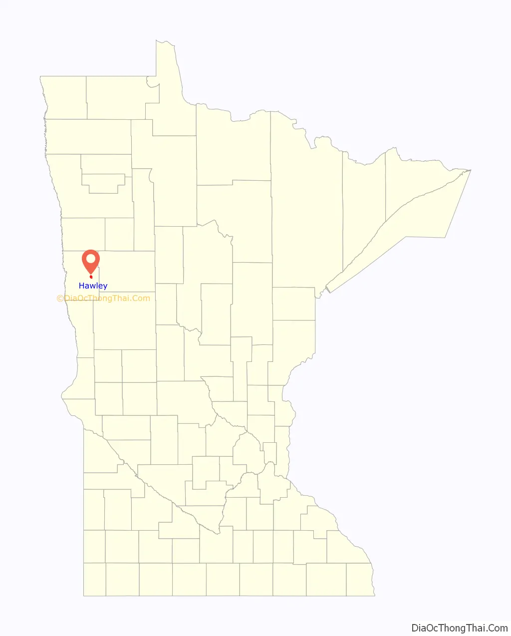
Hawley location map. Where is Hawley city?
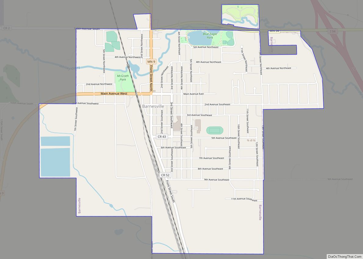
Hawley Road Map
Hawley city Satellite Map
Geography
Hawley is east of Moorhead, at the intersection of the Buffalo River, U.S. Route 10, and the Burlington Northern Railroad. According to the United States Census Bureau, the city has an area of 2.53 square miles (6.55 km), all land. A number of pastures and farmlands are nearby.
The land is flat (mostly treeless) farmland west of the city, with hillier and more forested land to the east. There is much wildlife, including deer, moose, waterfowl, raccoon, skunk, wolf, fox, and other indigenous species. The indigenous trees in the forests are mostly leafy, with very few natural evergreens.
See also
Map of Minnesota State and its subdivision:- Aitkin
- Anoka
- Becker
- Beltrami
- Benton
- Big Stone
- Blue Earth
- Brown
- Carlton
- Carver
- Cass
- Chippewa
- Chisago
- Clay
- Clearwater
- Cook
- Cottonwood
- Crow Wing
- Dakota
- Dodge
- Douglas
- Faribault
- Fillmore
- Freeborn
- Goodhue
- Grant
- Hennepin
- Houston
- Hubbard
- Isanti
- Itasca
- Jackson
- Kanabec
- Kandiyohi
- Kittson
- Koochiching
- Lac qui Parle
- Lake
- Lake of the Woods
- Lake Superior
- Le Sueur
- Lincoln
- Lyon
- Mahnomen
- Marshall
- Martin
- McLeod
- Meeker
- Mille Lacs
- Morrison
- Mower
- Murray
- Nicollet
- Nobles
- Norman
- Olmsted
- Otter Tail
- Pennington
- Pine
- Pipestone
- Polk
- Pope
- Ramsey
- Red Lake
- Redwood
- Renville
- Rice
- Rock
- Roseau
- Saint Louis
- Scott
- Sherburne
- Sibley
- Stearns
- Steele
- Stevens
- Swift
- Todd
- Traverse
- Wabasha
- Wadena
- Waseca
- Washington
- Watonwan
- Wilkin
- Winona
- Wright
- Yellow Medicine
- Alabama
- Alaska
- Arizona
- Arkansas
- California
- Colorado
- Connecticut
- Delaware
- District of Columbia
- Florida
- Georgia
- Hawaii
- Idaho
- Illinois
- Indiana
- Iowa
- Kansas
- Kentucky
- Louisiana
- Maine
- Maryland
- Massachusetts
- Michigan
- Minnesota
- Mississippi
- Missouri
- Montana
- Nebraska
- Nevada
- New Hampshire
- New Jersey
- New Mexico
- New York
- North Carolina
- North Dakota
- Ohio
- Oklahoma
- Oregon
- Pennsylvania
- Rhode Island
- South Carolina
- South Dakota
- Tennessee
- Texas
- Utah
- Vermont
- Virginia
- Washington
- West Virginia
- Wisconsin
- Wyoming