Hibbing is a city in Saint Louis County, Minnesota, United States. The population was 16,214 at the 2020 census. The city was built on mining the rich iron ore of the Mesabi Iron Range and still relies on that industrial activity today. At the edge of town is the world’s largest open-pit iron mine, the Hull–Rust–Mahoning Open Pit Iron Mine. It is the hometown of famous singer Bob Dylan and former Governor of Minnesota Rudy Perpich.
The main routes in Hibbing are U.S. Highway 169, State Highway 37, State Highway 73, Howard Street, and 1st Avenue. It is about 59 miles (95 km) northwest of Duluth, Minnesota.
| Name: | Hibbing city |
|---|---|
| LSAD Code: | 25 |
| LSAD Description: | city (suffix) |
| State: | Minnesota |
| County: | St. Louis County |
| Founded: | 1893 |
| Elevation: | 1,490 ft (454 m) |
| Total Area: | 186.46 sq mi (482.93 km²) |
| Land Area: | 182.03 sq mi (471.45 km²) |
| Water Area: | 4.43 sq mi (11.48 km²) |
| Total Population: | 16,214 |
| Population Density: | 89.07/sq mi (34.39/km²) |
| ZIP code: | 55746 |
| Area code: | 218 |
| FIPS code: | 2728790 |
| GNISfeature ID: | 0661469 |
| Website: | hibbingmn.gov |
Online Interactive Map
Click on ![]() to view map in "full screen" mode.
to view map in "full screen" mode.
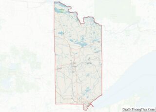
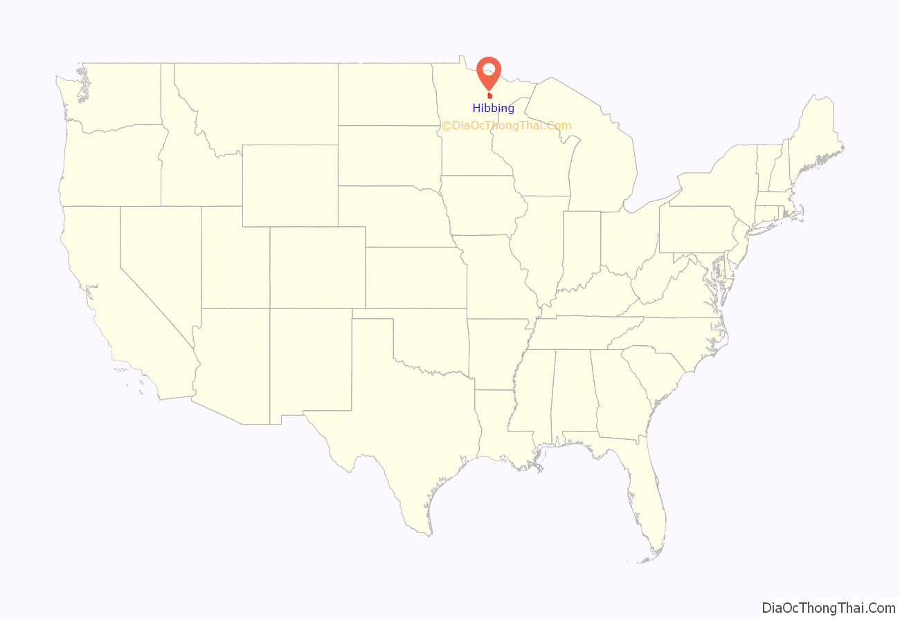
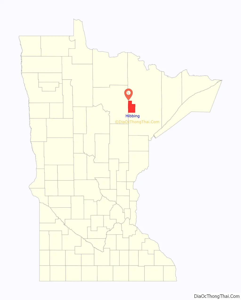
Hibbing location map. Where is Hibbing city?
History
The town was founded in 1893 by Frank Hibbing, born in Walsrode, Germany on December 1, 1856, and christened Franz Dietrich von Ahlen. His mother died when he was still in infancy and it was her name, Hibbing, which he assumed when he set out to seek his fortune in the New World. He first settled in Beaver Dam, Wisconsin, where he worked on a farm and in a shingle mill. Injured in a mill accident, he considered becoming a lawyer, but after deciding he was not familiar enough with the English language to make a legal career possible, he turned to timber cruising.
In 1887, Hibbing settled in Duluth where he established a real estate business and began explorations on the Vermilion Range. In 1892, he headed a party of thirty men at Mountain Iron and cut a road through the wilderness to Section 22, 58–20. An expert iron ore prospector, he soon discovered the surface indication which led him to believe in the existence of extensive ore deposits.
In July 1893, the townsite of Hibbing was laid out and named in honor of him. Feeling personally responsible, he took the deepest pride in its development and, by his generous aid, made its progress possible. He used his personal means to provide a water plant, electric light plant, the first roads, hotel, sawmill, and bank building. For the last ten years of his life, Hibbing made his home in Duluth, where many of his business interests were centered. He retained close contact with the community which bore his name, until he died of appendicitis on July 30, 1897, at age forty.
In 1914, two men, Carl Wickman and Andrew “Bus Andy” Anderson, started a bus line between Hibbing and Alice, Minnesota, which would eventually become Greyhound Lines, the world’s largest bus transportation company.
Hibbing Heights was platted in 1908 and annexed by Alice in 1910, when Alice incorporated as a city. Between 1919 and 1921, the Village of Hibbing was moved immediately south of Alice and then annexed Alice in 1920. Hibbing remained a village until 1979 when the Town of Stuntz was annexed. An Article of Incorporation was filed in July 1979 with the state and Hibbing became a city from that action in January 1980.
Hibbing is home to the world’s largest iron ore mine, which was discovered by Leonidas Merritt. Hibbing grew rapidly in its early years as the huge iron ore mines such as the Mahoning, Hull, Rust, Sellers, and Burt provided the raw material for America’s industrial revolution. In fact, the mines encroached on the village from the east, north, and west and it was determined that some of the ore body actually went under the town whose population had hit 20,000 by 1915.
Negotiations between the Oliver Mining Company and the village finally brought about a plan whereby the entire village would relocate to a site two miles south near Alice. The company, for its part, agreed to develop the downtown buildings with low interest loans that could be paid off over the years by the retailers. New civic structures such as Hibbing High School, the Androy Hotel, the Village Hall, and the Rood Hospital were also constructed with mining company money. In all, about 200 structures were moved down the First Avenue Highway, as it was called, to the new city. These included a store and even a couple of large hotels. Only one structure did not make it: the Sellers Hotel tumbled off some rollers and crashed to the ground leaving, as one witness said, “an enormous pile of kindling”. The move started in 1919 and the first phase was completed in 1921. Known today as “North Hibbing”, this area remained as a business and residential center through the 1940s when the mining companies bought the remaining structures. The last house was moved in 1968.
On July 25, 1979, Hibbing annexed the Town of Stuntz which comprised five townships. With this annexation, the following unincorporated communities were also annexed (community location by township, range and section indicated):
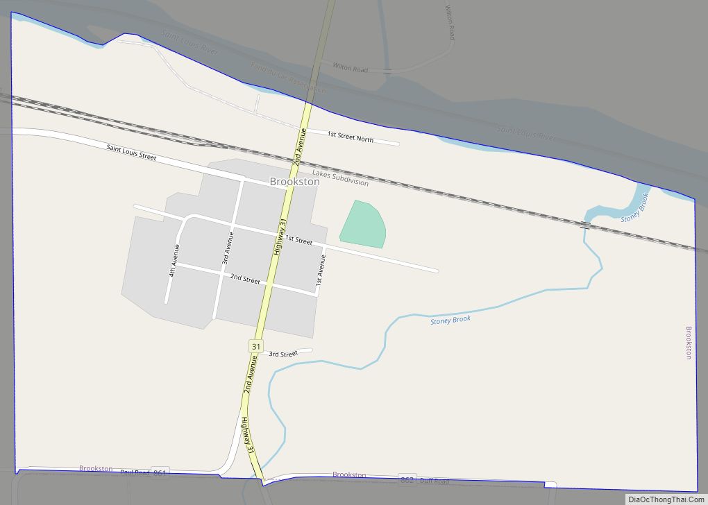
- Brooklyn (T57N, R20W, Section 6)
- Burton (T57N, R20W, Section 8)
- Darrow (T56N, R20W, Section 31)
- Dunwoody Junction (T57N, R20W, Section 3)
- Frederick (T56N, R20W, Section 18)
- Kelly Lake (T57N, R21W, Sections 16 and 21)
- Kerr (T57N, R21W, Section 14)
- Kitzville (T57N, R20W, Section 5)
- Lavinia (T58N, R21W, Section 25)
- Leetonia (T57N, R21W, Section 15)
- Leighton (T56N, R21W, Section 9)
- Little Swan (T56N, R20W, intersection of Sections 25, 26, 35 and 36)
- Mahoning (T57N, R21W, Section 2)
- Mitchell (T57N, R20W, Section 4)
- Onega (or Omega in some documents) (T56N, R20W, Section 24)
- Powers (T58N, R21W, Section 23)
- Redore (T57N, R20W, Section 5)
- Riley (T56N, R21W, Section 1)
- Ruby Junction (T57N, R20W, Section 7)
- Scranton (T57N, R21W, Section 13)
- Sims (T56N, R21W, Section 16)
- Stevenson (or Stephenson in some documents) (T58N, R21W, Section 7)
- Stuart (T56N, R21W, Section 29)
- Wilpen (T57N, R20W, Section 2)
On December 1, 1993, Northwest Airlink Flight 5719 crashed near Hibbing, killing all 18 people on board.
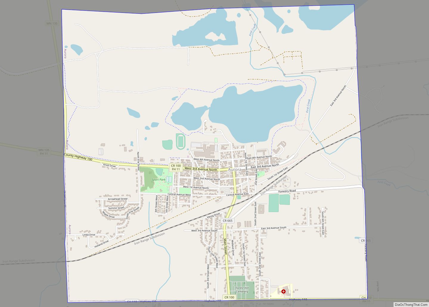
Hibbing Road Map

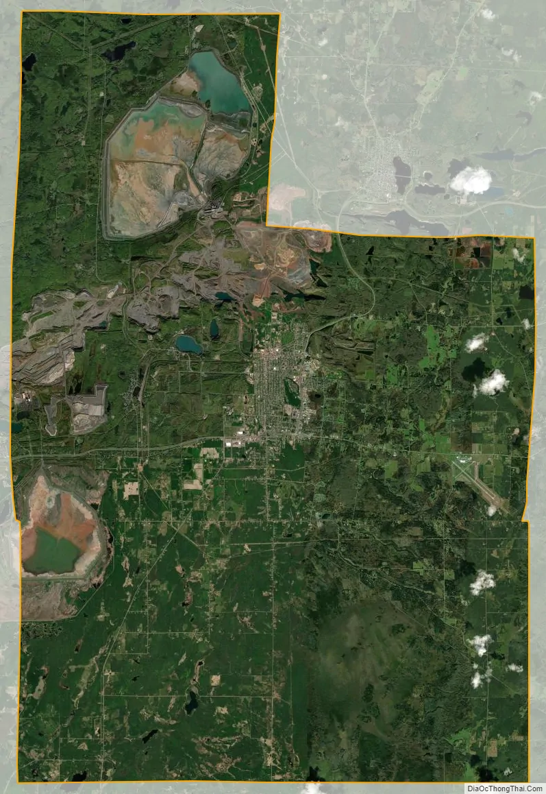
Hibbing city Satellite Map
Geography
According to the United States Census Bureau, the city has a total area of 186.46 square miles (482.9 km), of which 182.03 square miles (471.5 km) is land and 4.43 square miles (11.5 km) is water. McCarthy Beach State Park is nearby.
The Northern Divide intersects the St. Lawrence Divide near Hibbing, with waters draining to the Arctic Ocean, the Gulf of Mexico and the Great Lakes.
Climate
Hibbing has a humid continental climate (Koppen: Dfb), experiencing all four seasons, but with long, drawn out winters. Summers are generally warm to hot, while winters are generally cold to severely cold. A freeze has been recorded for every month of the year.
See also
Map of Minnesota State and its subdivision:- Aitkin
- Anoka
- Becker
- Beltrami
- Benton
- Big Stone
- Blue Earth
- Brown
- Carlton
- Carver
- Cass
- Chippewa
- Chisago
- Clay
- Clearwater
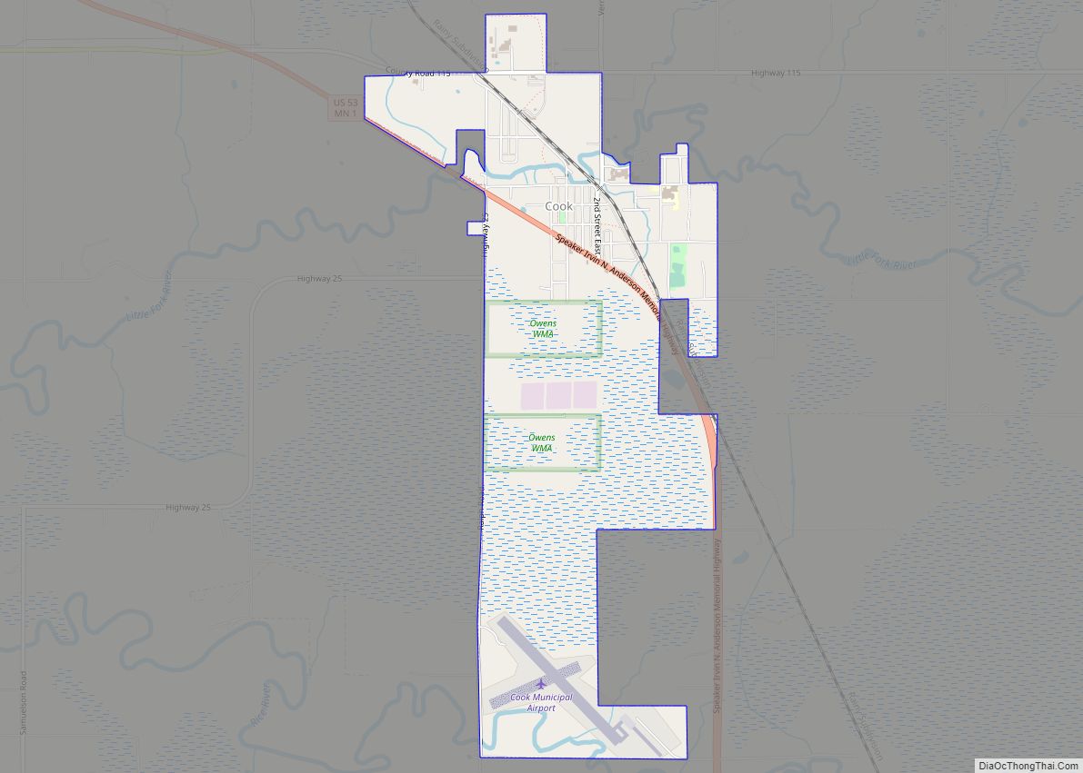
- Cook
- Cottonwood
- Crow Wing
- Dakota
- Dodge
- Douglas
- Faribault
- Fillmore
- Freeborn
- Goodhue
- Grant
- Hennepin
- Houston
- Hubbard
- Isanti
- Itasca
- Jackson
- Kanabec
- Kandiyohi
- Kittson
- Koochiching
- Lac qui Parle
- Lake
- Lake of the Woods
- Lake Superior
- Le Sueur
- Lincoln
- Lyon
- Mahnomen
- Marshall
- Martin
- McLeod
- Meeker
- Mille Lacs
- Morrison
- Mower
- Murray
- Nicollet
- Nobles
- Norman
- Olmsted
- Otter Tail
- Pennington
- Pine
- Pipestone
- Polk
- Pope
- Ramsey
- Red Lake
- Redwood
- Renville
- Rice
- Rock
- Roseau
- Saint Louis
- Scott
- Sherburne
- Sibley
- Stearns
- Steele
- Stevens
- Swift
- Todd
- Traverse
- Wabasha
- Wadena
- Waseca
- Washington
- Watonwan
- Wilkin
- Winona
- Wright
- Yellow Medicine
- Alabama
- Alaska
- Arizona
- Arkansas
- California
- Colorado
- Connecticut
- Delaware
- District of Columbia
- Florida
- Georgia
- Hawaii
- Idaho
- Illinois
- Indiana
- Iowa
- Kansas
- Kentucky
- Louisiana
- Maine
- Maryland
- Massachusetts
- Michigan
- Minnesota
- Mississippi
- Missouri
- Montana
- Nebraska
- Nevada
- New Hampshire
- New Jersey
- New Mexico
- New York
- North Carolina
- North Dakota
- Ohio
- Oklahoma
- Oregon
- Pennsylvania
- Rhode Island
- South Carolina
- South Dakota
- Tennessee
- Texas
- Utah
- Vermont
- Virginia
- Washington
- West Virginia
- Wisconsin
- Wyoming