Hokah (/ˈhoʊkə/ HOH-kə) is a city in Houston County, Minnesota, United States. The population was 580 at the 2010 census. Hokah is located near the confluence of the Root and Mississippi rivers, opposite La Crosse, Wisconsin, and is part of the La Crosse metropolitan area.
| Name: | Hokah city |
|---|---|
| LSAD Code: | 25 |
| LSAD Description: | city (suffix) |
| State: | Minnesota |
| County: | Houston County |
| Founded: | 1851 |
| Elevation: | 702 ft (214 m) |
| Total Area: | 0.72 sq mi (1.86 km²) |
| Land Area: | 0.70 sq mi (1.81 km²) |
| Water Area: | 0.02 sq mi (0.04 km²) |
| Total Population: | 553 |
| Population Density: | 791.13/sq mi (305.36/km²) |
| ZIP code: | 55941 |
| Area code: | 507 |
| FIPS code: | 2729510 |
| GNISfeature ID: | 0645066 |
| Website: | www.cityofhokah-mn.gov |
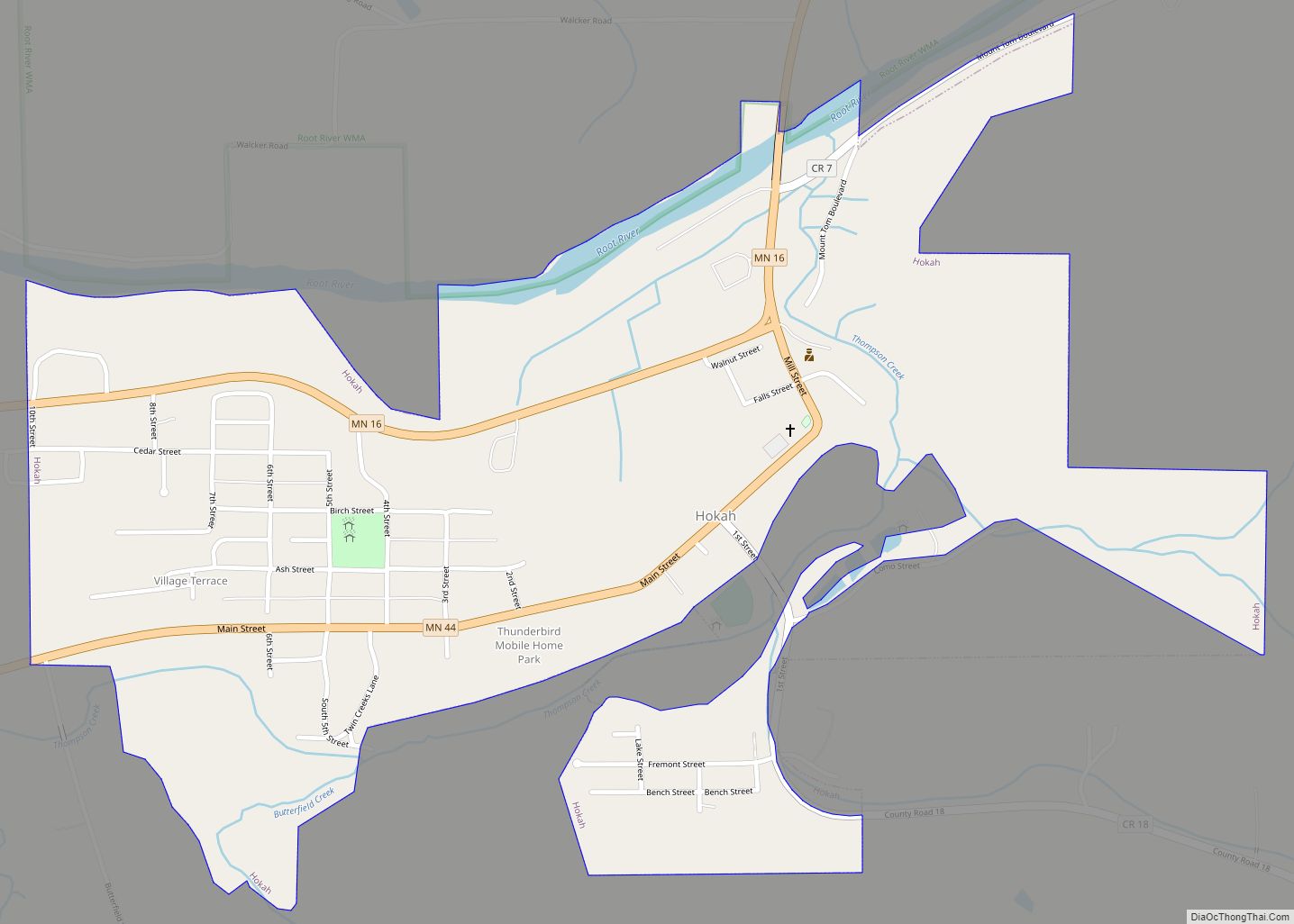
Online Interactive Map
Click on ![]() to view map in "full screen" mode.
to view map in "full screen" mode.
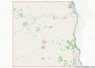
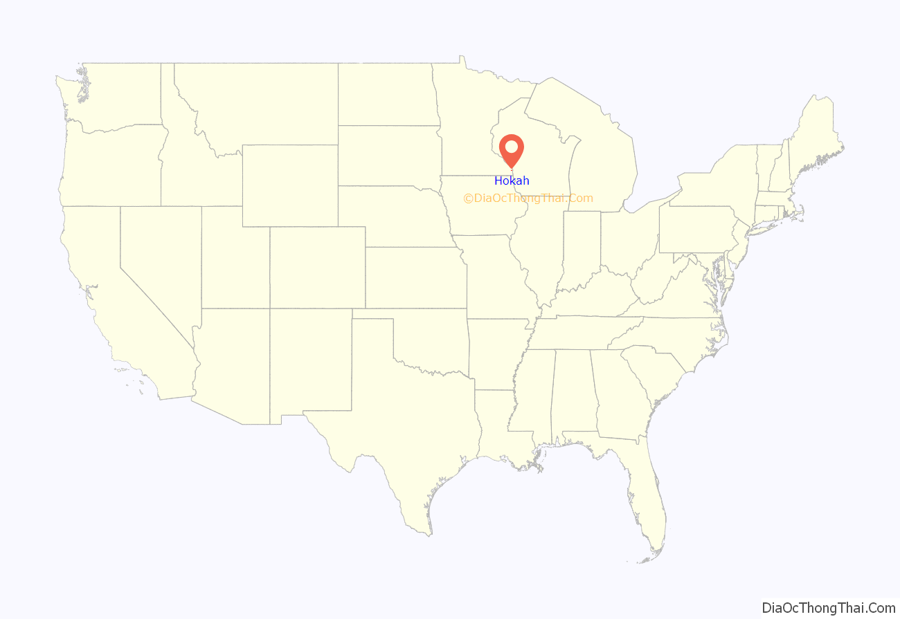
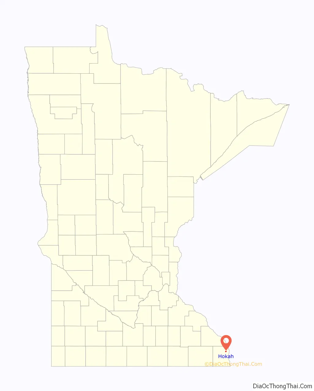
Hokah location map. Where is Hokah city?
History
Prior to the arrival of Europeans, the area that is now the city of Hokah was a Native American settlement of the Dakota people. The city’s name, which is said to be a Native American word meaning gar fish or the Dakota name for the nearby Root River, derives from the chief of the settlement, Chief Wecheschatope Hokah. There were, at one time, more than thirty Indian mounds throughout the area including several effigy mounds, though most have been lost.
The first recorded European settler in Hokah was Edward Thompson, who arrived in 1851 with his wife and family and constructed a flour mill and dam on Thompson Creek, a tributary of the Root River that runs through the city and now bears his name. The first town meeting was held in 1858, and the town was officially incorporated into a village by the state of Minnesota on March 2, 1871.
By 1875, Hokah had several major industries including four flour mills, cooper shops and a railroad depot, driven by the city’s location on the navigable Root River near where it empties into the Mississippi River as well as the Root River Valley Railroad which ran through the north end of the village from nearby La Crescent to Rochester, Minnesota. The railroad depot was equipped for all types of railroad work, including the construction of railroad locomotives and coaches. The depot employed as many as 500 workers and constructed as many as 300 coaches in one year. As of 1880, Hokah also had a plow factory, a furniture factory, three blacksmith shops, a shoe shop, two drug stores, and six general stores.
In 1876, a railroad bridge was constructed across the Mississippi River from La Crosse, connecting the Root River Valley Railroad to the railroads across the river in La Crosse. In 1880, the Root River Valley Railroad was purchased by the Chicago, Milwaukee, St. Paul and Pacific Railroad and the railroad depot in Hokah was razed in favor of other facilities elsewhere, leaving several hundred workers without employment and causing many people to leave the area. Hokah’s other industries suffered from this loss of population and many of the other local businesses eventually closed.
On April 23, 1923, the village was reincorporated as a city. Hokah City Hall, built by the Works Progress Administration in 1938, is listed on the National Register of Historic Places.
On August 19, 2007, 15.10 inches of rain fell in Hokah over a 24-hour period, breaking the previous 24-hour rainfall record for the state of Minnesota of 10.84 inches set on July 22, 1972 in Fort Ripley, Minnesota. This rainfall was part of the weather system that caused the 2007 Midwest flooding and caused widespread damage throughout Hokah and surrounding communities including landslides, damaged and destroyed homes, and washed-out roads. Hokah also holds the record for the most rainfall in any month for the state of Minnesota at 23.86 inches, also set in August, 2007.
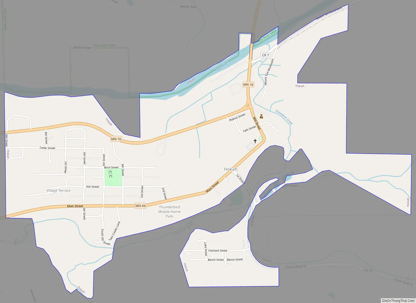
Hokah Road Map
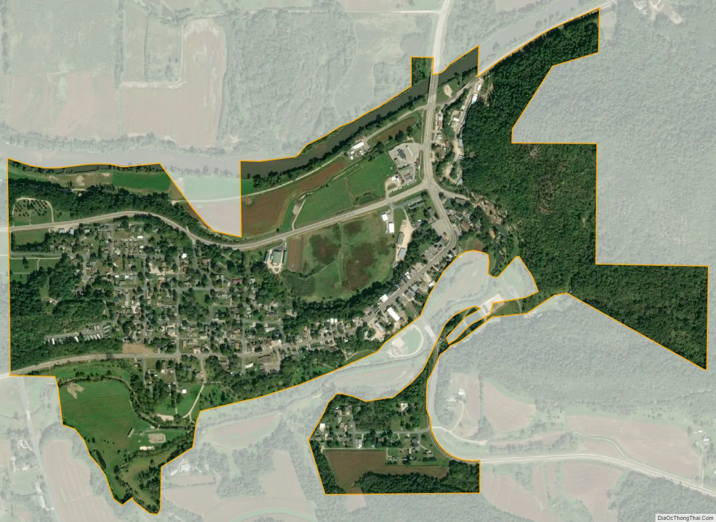
Hokah city Satellite Map
Geography
According to the United States Census Bureau, the city has a total area of 0.75 square miles (1.94 km), of which 0.73 square miles (1.89 km) is land and 0.02 square miles (0.05 km) is water.
Hokah’s location in the Driftless Area of southeastern Minnesota gives it a hilly landscape dominated by high bluffs and low river valleys known as coulees. The city’s downtown is set on a small bluff between the Root River valley and the Thompson Creek valley. At the east end of downtown is Thompson Bluff, also known as Mt. Tom, a bluff that rises more than 400 feet above downtown. Like Thompson Creek, Thompson Bluff is named for Edward Thompson.
Hokah was home to Como Falls, a waterfall on Thompson Creek. From 1858 until the 1930s Hokah was also home to Lake Como, a 90-acre, 20-foot deep man-made lake created by building a dam on Thompson Creek at Como Falls. Lake Como was a popular vacation spot in its heyday, drawing visitors from La Crosse and the surrounding area with lakeside cabins and boat rentals. The dam that created Lake Como failed during a flood in 1909 and allowed the lake to drain but was rebuilt in 1922. By the late 1930s, soil erosion from nearby farms prior to the widespread local use of contour plowing caused the lake bed to fill in, bringing about the end of Lake Como. Until August 2018, the site of Lake Como was used as a community park, pool, and baseball field. A severe storm in late August 2018 dumped almost eight inches of rain in the area in less than 24 hours, causing massive damage to the park and rerouting the path of water around the rock formation that made up Como Falls, basically destroying the falls.
See also
Map of Minnesota State and its subdivision:- Aitkin
- Anoka
- Becker
- Beltrami
- Benton
- Big Stone
- Blue Earth
- Brown
- Carlton
- Carver
- Cass
- Chippewa
- Chisago
- Clay
- Clearwater
- Cook
- Cottonwood
- Crow Wing
- Dakota
- Dodge
- Douglas
- Faribault
- Fillmore
- Freeborn
- Goodhue
- Grant
- Hennepin
- Houston
- Hubbard
- Isanti
- Itasca
- Jackson
- Kanabec
- Kandiyohi
- Kittson
- Koochiching
- Lac qui Parle
- Lake
- Lake of the Woods
- Lake Superior
- Le Sueur
- Lincoln
- Lyon
- Mahnomen
- Marshall
- Martin
- McLeod
- Meeker
- Mille Lacs
- Morrison
- Mower
- Murray
- Nicollet
- Nobles
- Norman
- Olmsted
- Otter Tail
- Pennington
- Pine
- Pipestone
- Polk
- Pope
- Ramsey
- Red Lake
- Redwood
- Renville
- Rice
- Rock
- Roseau
- Saint Louis
- Scott
- Sherburne
- Sibley
- Stearns
- Steele
- Stevens
- Swift
- Todd
- Traverse
- Wabasha
- Wadena
- Waseca
- Washington
- Watonwan
- Wilkin
- Winona
- Wright
- Yellow Medicine
- Alabama
- Alaska
- Arizona
- Arkansas
- California
- Colorado
- Connecticut
- Delaware
- District of Columbia
- Florida
- Georgia
- Hawaii
- Idaho
- Illinois
- Indiana
- Iowa
- Kansas
- Kentucky
- Louisiana
- Maine
- Maryland
- Massachusetts
- Michigan
- Minnesota
- Mississippi
- Missouri
- Montana
- Nebraska
- Nevada
- New Hampshire
- New Jersey
- New Mexico
- New York
- North Carolina
- North Dakota
- Ohio
- Oklahoma
- Oregon
- Pennsylvania
- Rhode Island
- South Carolina
- South Dakota
- Tennessee
- Texas
- Utah
- Vermont
- Virginia
- Washington
- West Virginia
- Wisconsin
- Wyoming