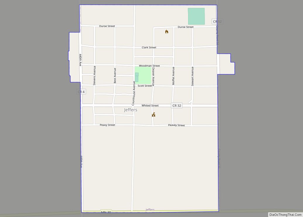
Jeffers is a city in Amboy Township, Cottonwood County, Minnesota, United States. The population was 369 at the 2010 census.
Minnesota State Highway 30 and County Highway 4 are two of the main routes in the community. U.S. Route 71 is nearby.
| Name: | Jeffers city |
|---|---|
| LSAD Code: | 25 |
| LSAD Description: | city (suffix) |
| State: | Minnesota |
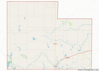
| County: | Cottonwood County |
| Elevation: | 1,480 ft (451 m) |
| Total Area: | 0.39 sq mi (1.00 km²) |
| Land Area: | 0.39 sq mi (1.00 km²) |
| Water Area: | 0.00 sq mi (0.00 km²) |
| Total Population: | 349 |
| Population Density: | 899.48/sq mi (347.54/km²) |
| ZIP code: | 56145 |
| Area code: | 507 |
| FIPS code: | 2731796 |
| GNISfeature ID: | 0645595 |
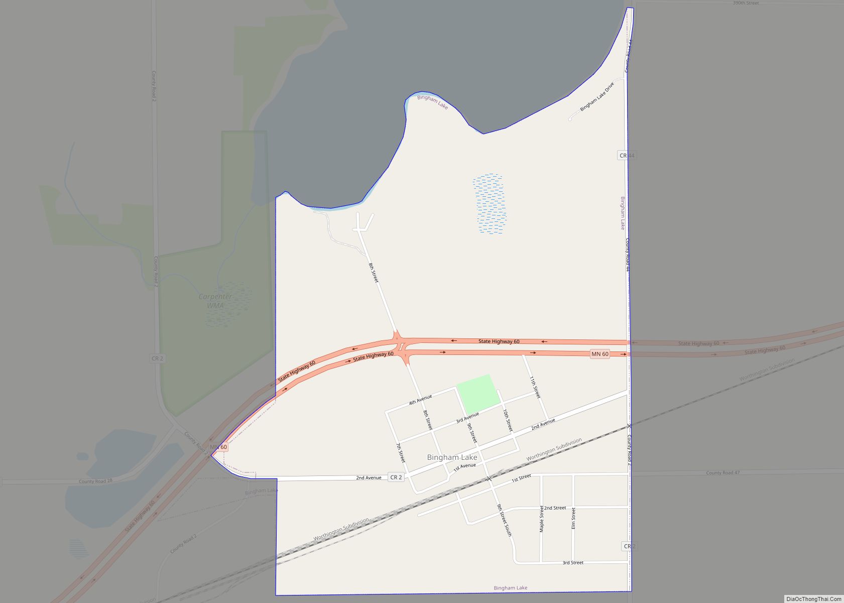
Online Interactive Map
Click on ![]() to view map in "full screen" mode.
to view map in "full screen" mode.
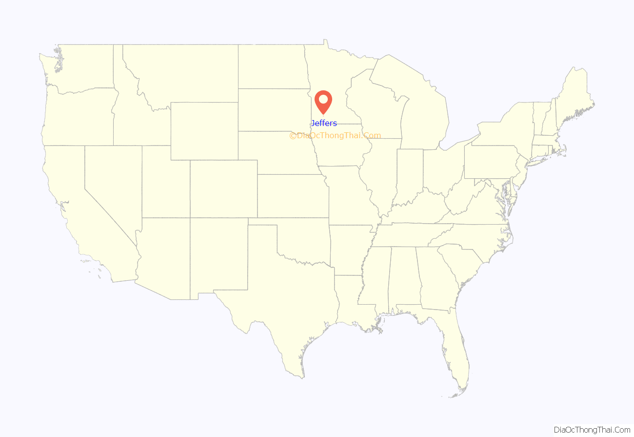
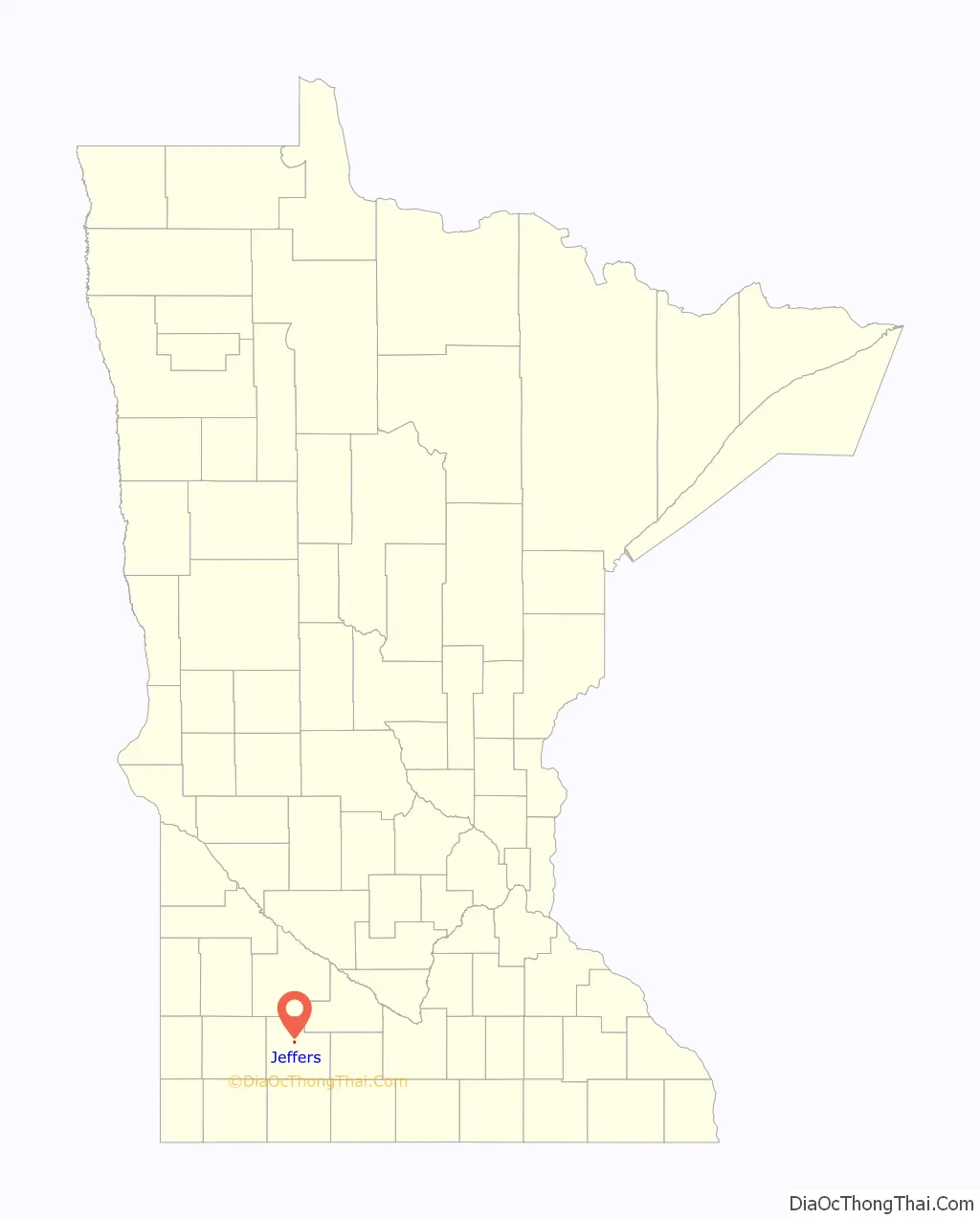
Jeffers location map. Where is Jeffers city?
History
Jeffers was platted by the Inter-State Land Company on September 19, 1899. It was incorporated as a city a few days later, on September 28, 1899. In its first election, the following men were put into office: President, L. P. Dustin; recorder, Lewis E. Streater; along with trustees, A. W. Binger, A. A. Faust, and C. G. Fredricson.
The town was named for land-owner George Jeffers. A post office has been in operation at Jeffers since 1900.
The Jeffers Petroglyphs, a site listed on the National Register of Historic Places, is a series of Native American stone carvings dating from before European settlement. They are located several miles northeast of the town.
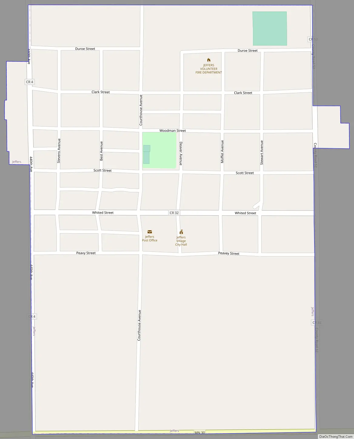
In the center of the city runs a north-south street named “Courthouse Ave”. It is rumored that due to its proximity in the center of Cottonwood County, Jeffers was expected to become the county seat of Cottonwood County. Therefore, they chose to name the street in anticipation of a courthouse being built. However, Windom, a city 18 miles to the south, was named the county seat and housed the courthouse.
Jeffers Road Map
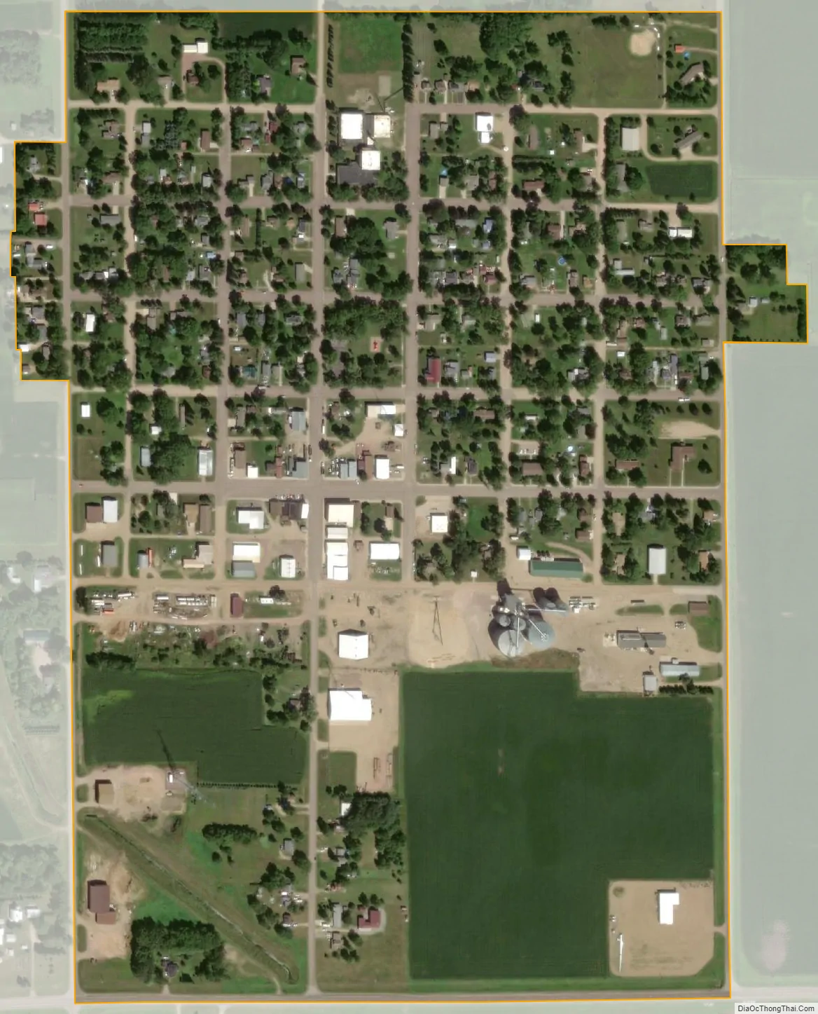
Jeffers city Satellite Map
Geography
According to the United States Census Bureau, the city has a total area of 0.38 square miles (0.98 km), all land. Jeffers is situated in section 20, township 107, range 36 west, Latitude: 44.06 N, Longitude: 95.20 W.
The Jeffers Petroglyphs are located 15 km (9.3 mi) northeast of Jeffers on Red Rock Ridge.
See also
Map of Minnesota State and its subdivision:- Aitkin
- Anoka
- Becker
- Beltrami
- Benton
- Big Stone
- Blue Earth
- Brown
- Carlton
- Carver
- Cass
- Chippewa
- Chisago
- Clay
- Clearwater
- Cook
- Cottonwood
- Crow Wing
- Dakota
- Dodge
- Douglas
- Faribault
- Fillmore
- Freeborn
- Goodhue
- Grant
- Hennepin
- Houston
- Hubbard
- Isanti
- Itasca
- Jackson
- Kanabec
- Kandiyohi
- Kittson
- Koochiching
- Lac qui Parle
- Lake
- Lake of the Woods
- Lake Superior
- Le Sueur
- Lincoln
- Lyon
- Mahnomen
- Marshall
- Martin
- McLeod
- Meeker
- Mille Lacs
- Morrison
- Mower
- Murray
- Nicollet
- Nobles
- Norman
- Olmsted
- Otter Tail
- Pennington
- Pine
- Pipestone
- Polk
- Pope
- Ramsey
- Red Lake
- Redwood
- Renville
- Rice
- Rock
- Roseau
- Saint Louis
- Scott
- Sherburne
- Sibley
- Stearns
- Steele
- Stevens
- Swift
- Todd
- Traverse
- Wabasha
- Wadena
- Waseca
- Washington
- Watonwan
- Wilkin
- Winona
- Wright
- Yellow Medicine
- Alabama
- Alaska
- Arizona
- Arkansas
- California
- Colorado
- Connecticut
- Delaware
- District of Columbia
- Florida
- Georgia
- Hawaii
- Idaho
- Illinois
- Indiana
- Iowa
- Kansas
- Kentucky
- Louisiana
- Maine
- Maryland
- Massachusetts
- Michigan
- Minnesota
- Mississippi
- Missouri
- Montana
- Nebraska
- Nevada
- New Hampshire
- New Jersey
- New Mexico
- New York
- North Carolina
- North Dakota
- Ohio
- Oklahoma
- Oregon
- Pennsylvania
- Rhode Island
- South Carolina
- South Dakota
- Tennessee
- Texas
- Utah
- Vermont
- Virginia
- Washington
- West Virginia
- Wisconsin
- Wyoming