Windom is a city in Cottonwood County, Minnesota, United States. The population was 4,646 at the 2010 census. It is the county seat of Cottonwood County and is situated in the Coteau des Prairies.
Although it is a small, rural farming community, Windom is host to several parks including a disc golf course at Mayflower Park. The Des Moines River flows through Windom and serves as a gentle, rapid-free canoeing spot.
| Name: | Windom city |
|---|---|
| LSAD Code: | 25 |
| LSAD Description: | city (suffix) |
| State: | Minnesota |
| County: | Cottonwood County |
| Incorporated: | 1875 |
| Elevation: | 1,362 ft (415 m) |
| Total Area: | 4.26 sq mi (11.03 km²) |
| Land Area: | 4.09 sq mi (10.61 km²) |
| Water Area: | 0.16 sq mi (0.42 km²) |
| Total Population: | 4,798 |
| Population Density: | 1,171.67/sq mi (452.38/km²) |
| ZIP code: | 56101, 56118 |
| Area code: | 507 |
| FIPS code: | 2770798 |
| GNISfeature ID: | 0654245 |
| Website: | www.windom-mn.com |
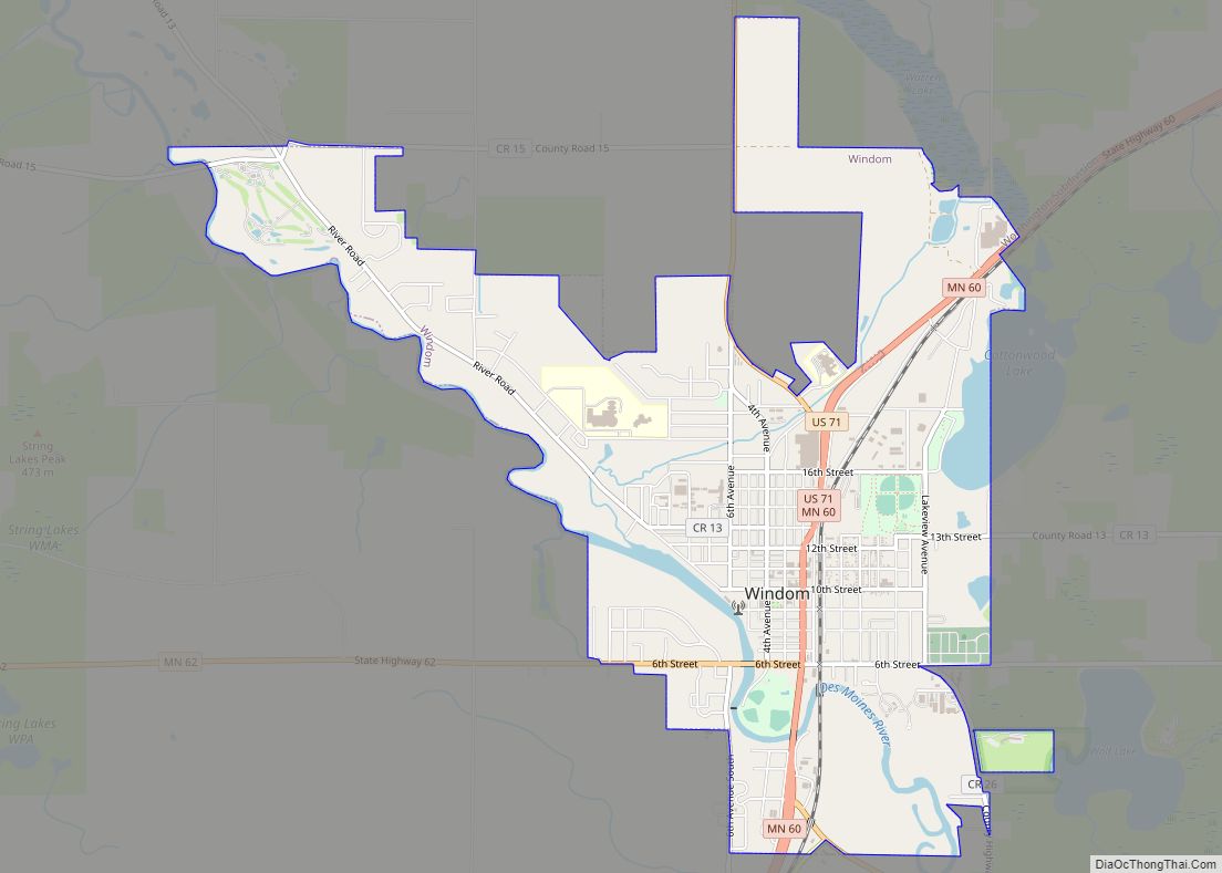
Online Interactive Map
Click on ![]() to view map in "full screen" mode.
to view map in "full screen" mode.
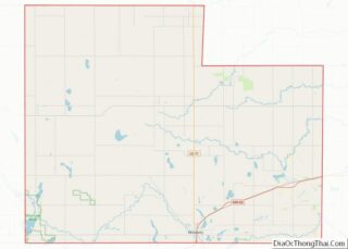
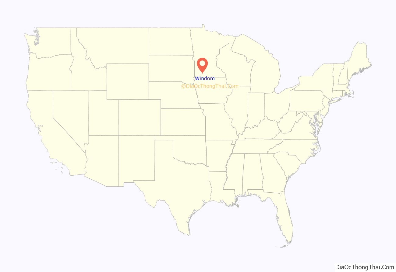
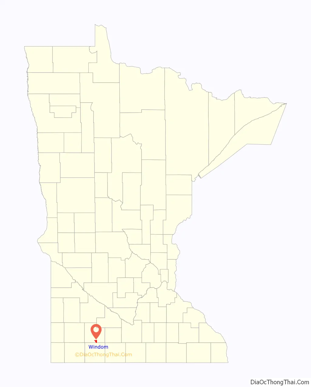
Windom location map. Where is Windom city?
History
Windom was platted on June 20, 1871, by A.L. Beach, an engineer for the Sioux City and St. Paul Railroad. Twelve lots were created and sold for $100 on the first day. It was incorporated as a village in 1875 and reincorporated on September 9, 1884. Judson W. Bishop named the city after William Windom, who served as a United States senator from Minnesota from 1881 to 1883 and was United States Secretary of the Treasury under Presidents James Garfield, Chester Arthur and Benjamin Harrison.
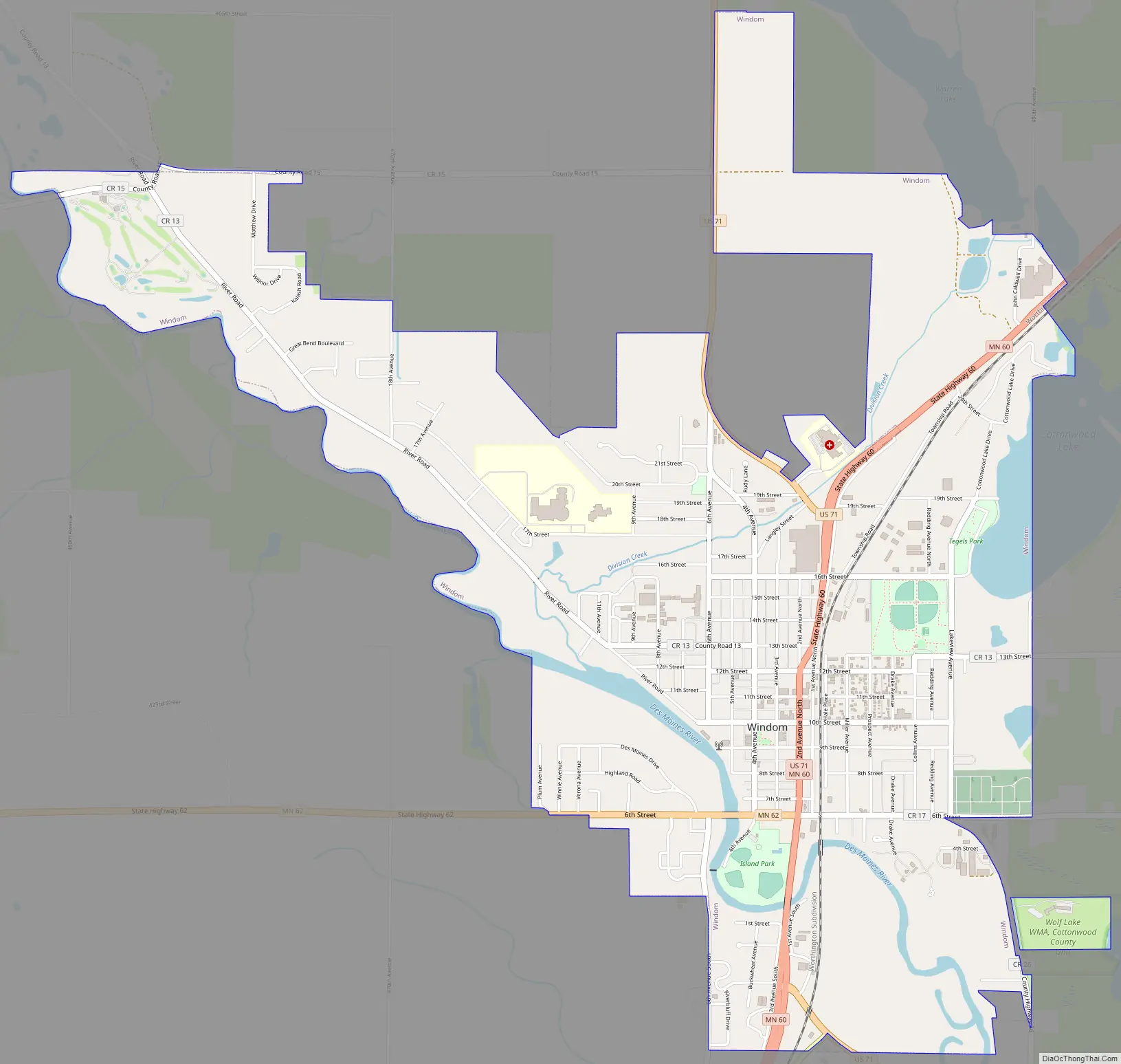
Windom Road Map
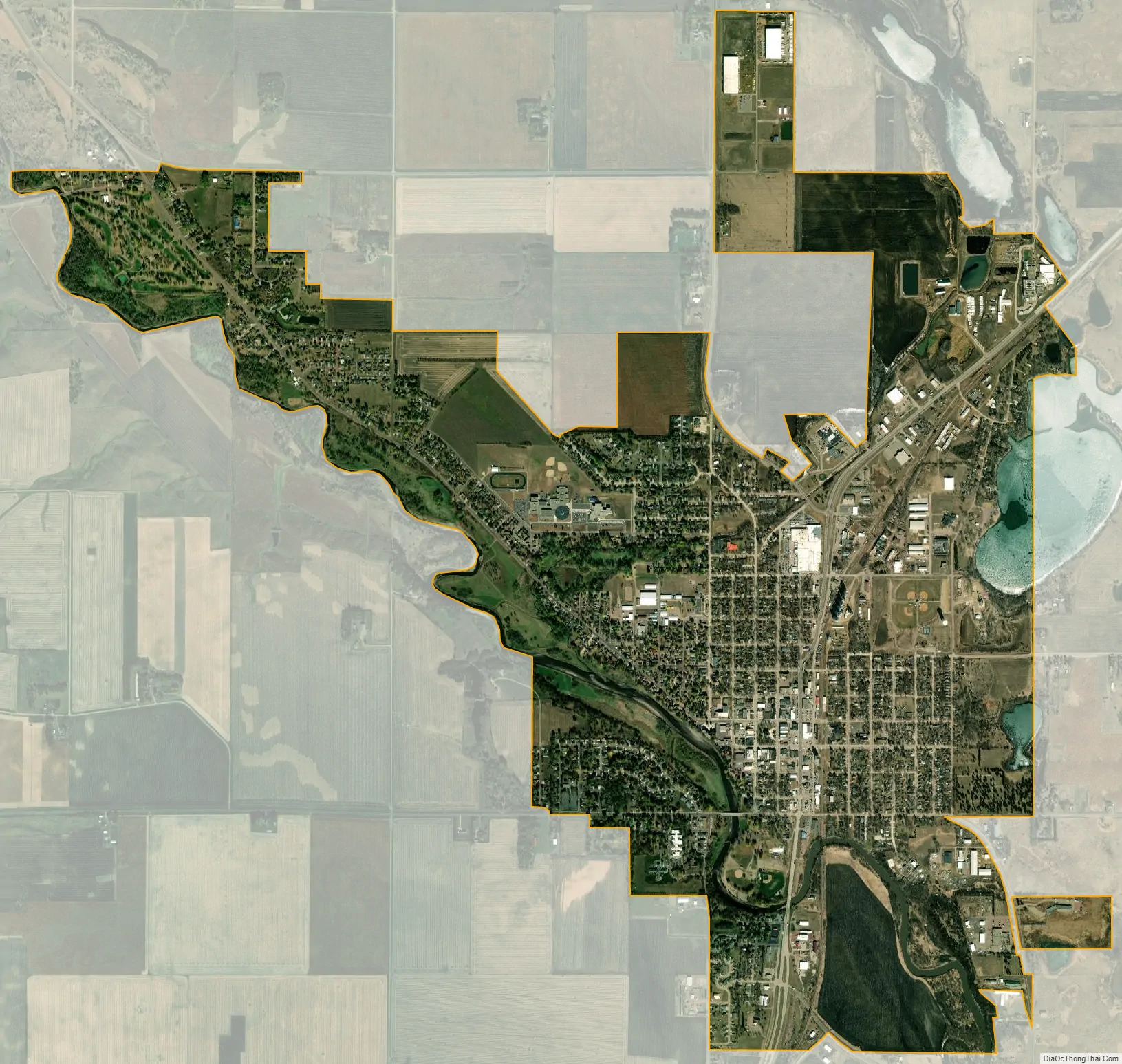
Windom city Satellite Map
Geography
Windom lies 1,362 feet (415 m) above sea level. According to the United States Census Bureau, the city has a total area of 4.33 square miles (11.21 km), of which 4.16 square miles (10.77 km) is land and 0.17 square miles (0.44 km) is water. Windom is on the Coteau des Prairies, a ridge extending from South Dakota to Iowa separating Cottonwood County into two watersheds. The watersheds drain into the Minnesota and Mississippi rivers. The Des Moines River flows through Windom.
Climate
The average winter temperature in Windom is 16 °F (−9 °C), in spring 44.7 °F (7.1 °C), in summer 69.8 °F (21.0 °C), and in fall 46.1 °F (7.8 °C). The record high in Windom was set on August 1, 1988, at 105 °F (41 °C). The record low was set on January 7, 1988, at −36 °F (−38 °C). The maximum rainfall was 8.84 inches (225 mm), on September 23, 2010.
See also
Map of Minnesota State and its subdivision:- Aitkin
- Anoka
- Becker
- Beltrami
- Benton
- Big Stone
- Blue Earth
- Brown
- Carlton
- Carver
- Cass
- Chippewa
- Chisago
- Clay
- Clearwater
- Cook
- Cottonwood
- Crow Wing
- Dakota
- Dodge
- Douglas
- Faribault
- Fillmore
- Freeborn
- Goodhue
- Grant
- Hennepin
- Houston
- Hubbard
- Isanti
- Itasca
- Jackson
- Kanabec
- Kandiyohi
- Kittson
- Koochiching
- Lac qui Parle
- Lake
- Lake of the Woods
- Lake Superior
- Le Sueur
- Lincoln
- Lyon
- Mahnomen
- Marshall
- Martin
- McLeod
- Meeker
- Mille Lacs
- Morrison
- Mower
- Murray
- Nicollet
- Nobles
- Norman
- Olmsted
- Otter Tail
- Pennington
- Pine
- Pipestone
- Polk
- Pope
- Ramsey
- Red Lake
- Redwood
- Renville
- Rice
- Rock
- Roseau
- Saint Louis
- Scott
- Sherburne
- Sibley
- Stearns
- Steele
- Stevens
- Swift
- Todd
- Traverse
- Wabasha
- Wadena
- Waseca
- Washington
- Watonwan
- Wilkin
- Winona
- Wright
- Yellow Medicine
- Alabama
- Alaska
- Arizona
- Arkansas
- California
- Colorado
- Connecticut
- Delaware
- District of Columbia
- Florida
- Georgia
- Hawaii
- Idaho
- Illinois
- Indiana
- Iowa
- Kansas
- Kentucky
- Louisiana
- Maine
- Maryland
- Massachusetts
- Michigan
- Minnesota
- Mississippi
- Missouri
- Montana
- Nebraska
- Nevada
- New Hampshire
- New Jersey
- New Mexico
- New York
- North Carolina
- North Dakota
- Ohio
- Oklahoma
- Oregon
- Pennsylvania
- Rhode Island
- South Carolina
- South Dakota
- Tennessee
- Texas
- Utah
- Vermont
- Virginia
- Washington
- West Virginia
- Wisconsin
- Wyoming