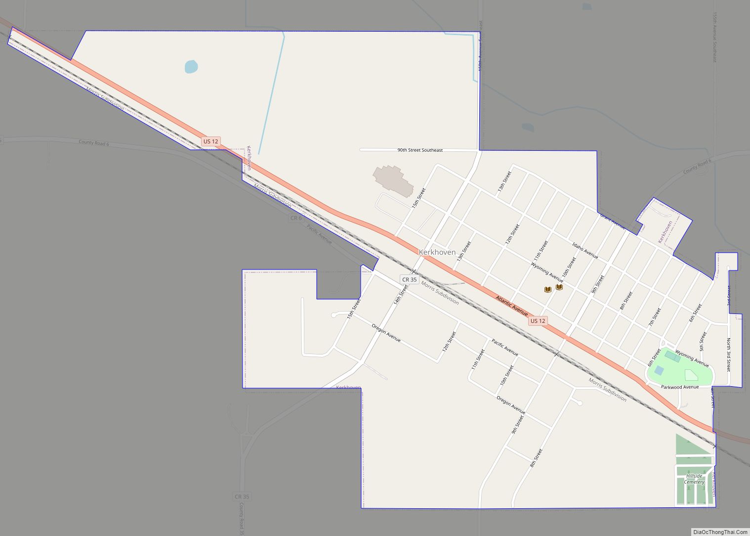
Kerkhoven (/ˈkɜːrkhoʊvən/ KURK-hoh-vən) is a city in Swift County, Minnesota, United States, located roughly 100 miles (160 km) west of the Twin Cities region of Minneapolis/St. Paul along U.S. Route 12. The population was 759 at the 2010 census.
| Name: | Kerkhoven city |
|---|---|
| LSAD Code: | 25 |
| LSAD Description: | city (suffix) |
| State: | Minnesota |
| County: | Swift County |
| Elevation: | 1,099 ft (335 m) |
| Total Area: | 0.83 sq mi (2.16 km²) |
| Land Area: | 0.83 sq mi (2.16 km²) |
| Water Area: | 0.00 sq mi (0.00 km²) |
| Total Population: | 805 |
| Population Density: | 966.39/sq mi (373.08/km²) |
| ZIP code: | 56252 |
| Area code: | 320 |
| FIPS code: | 2732876 |
| GNISfeature ID: | 0646118 |
| Website: | http://www.cityofkerk.com/ |
Online Interactive Map
Click on ![]() to view map in "full screen" mode.
to view map in "full screen" mode.
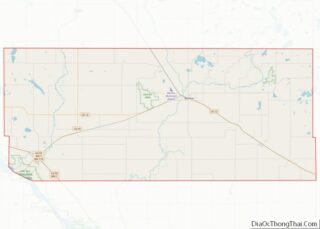
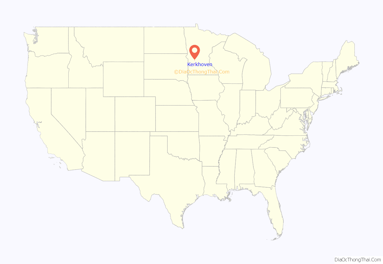
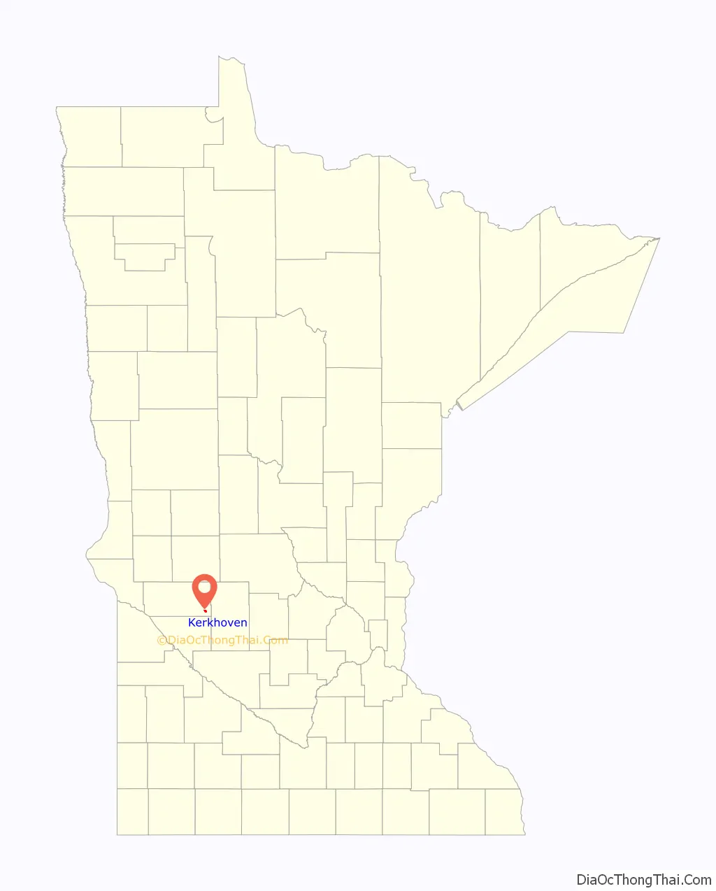
Kerkhoven location map. Where is Kerkhoven city?
History
Kerkhoven was platted in 1870, and named for a railroad promoter. A post office has been in operation at Kerkhoven since 1871. Kerkhoven was incorporated in 1881.
The city name is Dutch meaning church cemetery. It is from the persons who purchased bonds (Kerkhoven and Co. of Holland in 1864) of the St. Paul & Pacific Railroad (later the Great Northern etc.). The family name originally was van Kerckhoven (Kerk=church and hoven=garden or yard). They were financial persons purchasing interest-bearing bonds, but not active promoters of the fledgling prairie railroad.
Kerkhoven Road Map
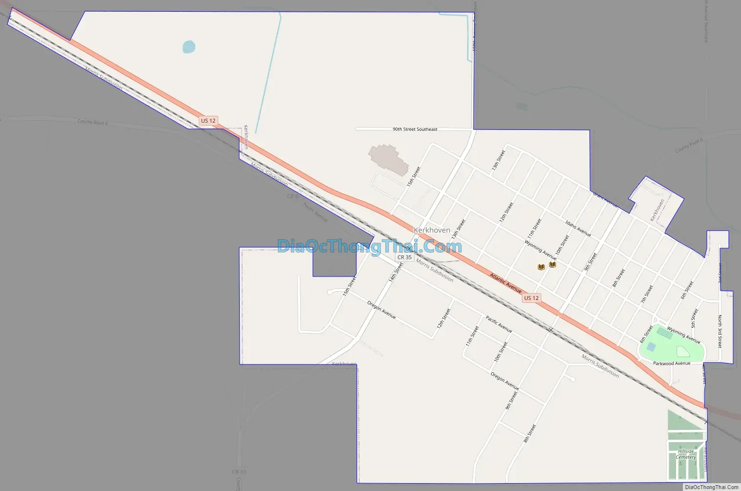
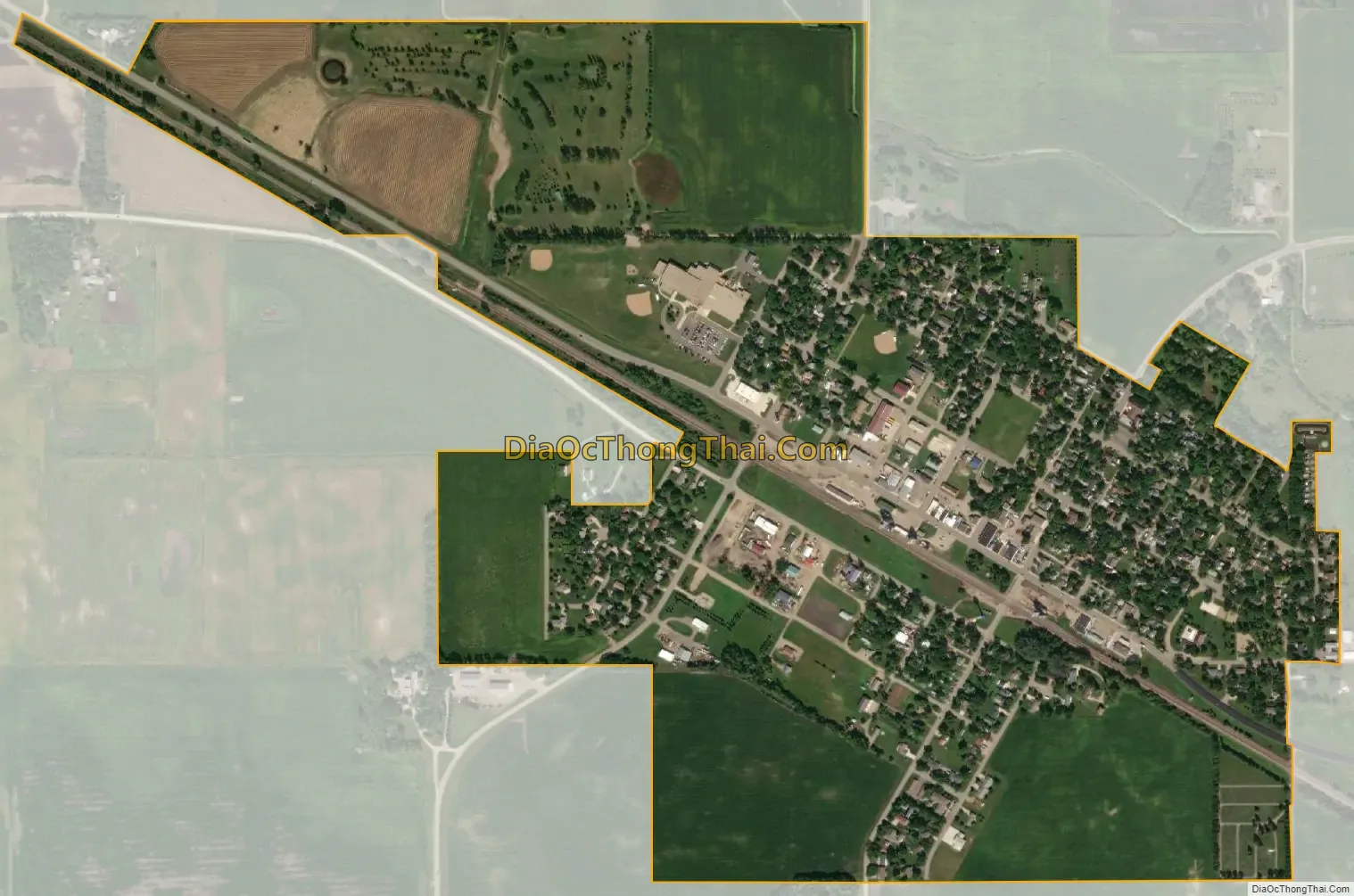
Kerkhoven city Satellite Map
Geography
Kerkhoven is located at 45°11′30″N 95°19′0″W / 45.19167°N 95.31667°W / 45.19167; -95.31667.
According to the United States Census Bureau, the city has a total area of 0.82 square miles (2.12 km), all land.
See also
Map of Minnesota State and its subdivision:- Aitkin
- Anoka
- Becker
- Beltrami
- Benton
- Big Stone
- Blue Earth
- Brown
- Carlton
- Carver
- Cass
- Chippewa
- Chisago
- Clay
- Clearwater
- Cook
- Cottonwood
- Crow Wing
- Dakota
- Dodge
- Douglas
- Faribault
- Fillmore
- Freeborn
- Goodhue
- Grant
- Hennepin
- Houston
- Hubbard
- Isanti
- Itasca
- Jackson
- Kanabec
- Kandiyohi
- Kittson
- Koochiching
- Lac qui Parle
- Lake
- Lake of the Woods
- Lake Superior
- Le Sueur
- Lincoln
- Lyon
- Mahnomen
- Marshall
- Martin
- McLeod
- Meeker
- Mille Lacs
- Morrison
- Mower
- Murray
- Nicollet
- Nobles
- Norman
- Olmsted
- Otter Tail
- Pennington
- Pine
- Pipestone
- Polk
- Pope
- Ramsey
- Red Lake
- Redwood
- Renville
- Rice
- Rock
- Roseau
- Saint Louis
- Scott
- Sherburne
- Sibley
- Stearns
- Steele
- Stevens
- Swift
- Todd
- Traverse
- Wabasha
- Wadena
- Waseca
- Washington
- Watonwan
- Wilkin
- Winona
- Wright
- Yellow Medicine
- Alabama
- Alaska
- Arizona
- Arkansas
- California
- Colorado
- Connecticut
- Delaware
- District of Columbia
- Florida
- Georgia
- Hawaii
- Idaho
- Illinois
- Indiana
- Iowa
- Kansas
- Kentucky
- Louisiana
- Maine
- Maryland
- Massachusetts
- Michigan
- Minnesota
- Mississippi
- Missouri
- Montana
- Nebraska
- Nevada
- New Hampshire
- New Jersey
- New Mexico
- New York
- North Carolina
- North Dakota
- Ohio
- Oklahoma
- Oregon
- Pennsylvania
- Rhode Island
- South Carolina
- South Dakota
- Tennessee
- Texas
- Utah
- Vermont
- Virginia
- Washington
- West Virginia
- Wisconsin
- Wyoming