Loretto is a small rural city in Hennepin County, Minnesota, United States. The population was 650 at the 2010 census.
| Name: | Loretto city |
|---|---|
| LSAD Code: | 25 |
| LSAD Description: | city (suffix) |
| State: | Minnesota |
| County: | Hennepin County |
| Founded: | 1886 |
| Incorporated: | 1940 |
| Elevation: | 1,014 ft (309 m) |
| Land Area: | 0.26 sq mi (0.67 km²) |
| Water Area: | 0.00 sq mi (0.00 km²) |
| Population Density: | 2,503.88/sq mi (966.28/km²) |
| Area code: | 763 |
| FIPS code: | 2738222 |
| GNISfeature ID: | 0647188 |
| Website: | www.ci.loretto.mn.us |
Online Interactive Map
Click on ![]() to view map in "full screen" mode.
to view map in "full screen" mode.
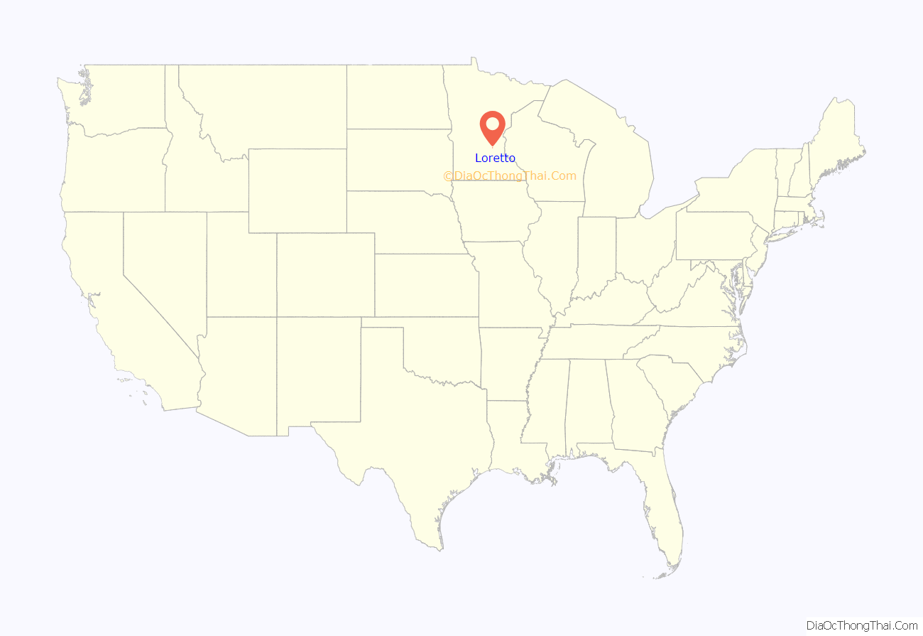
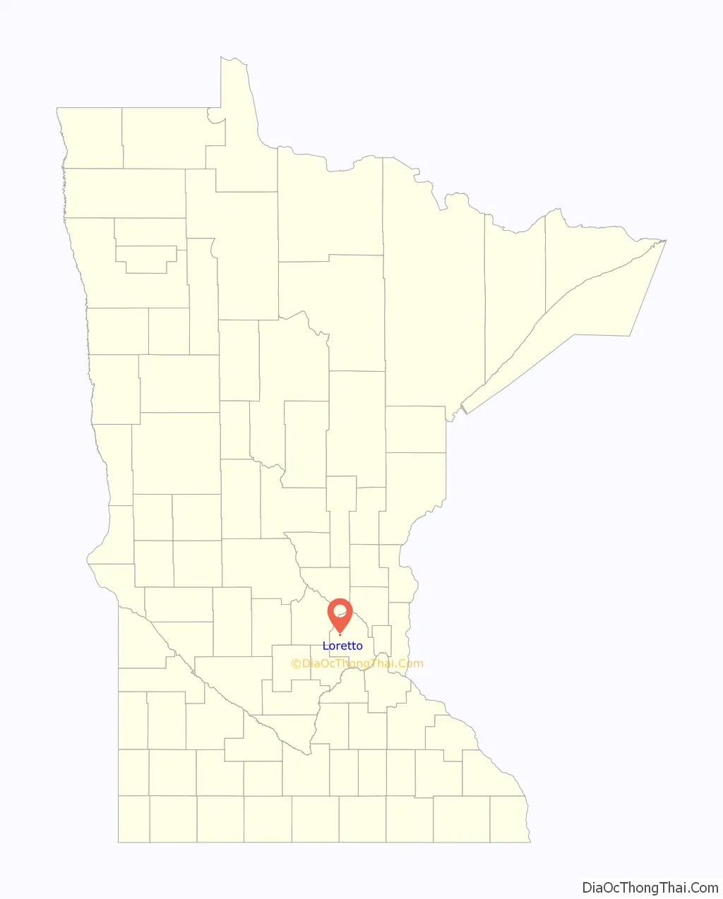
Loretto location map. Where is Loretto city?
History
Loretto was founded in 1886, and settled by German and Dutch immigrants. Loretto was named for a Roman Catholic mission for refugees of the Huron Indians near Quebec, Canada, named Lorette. The original source of the name is Loreto, a small town in Italy, which has a noted shrine of pilgrimage.
The city was incorporated in 1940. The first mayor was Albert Van Beusekom.
In 2010, Loretto elected Kent Koch as its mayor. Koch was the starting second baseman on the St. Cloud State University baseball team, and was believed to be the only college student in the country who was also a mayor.
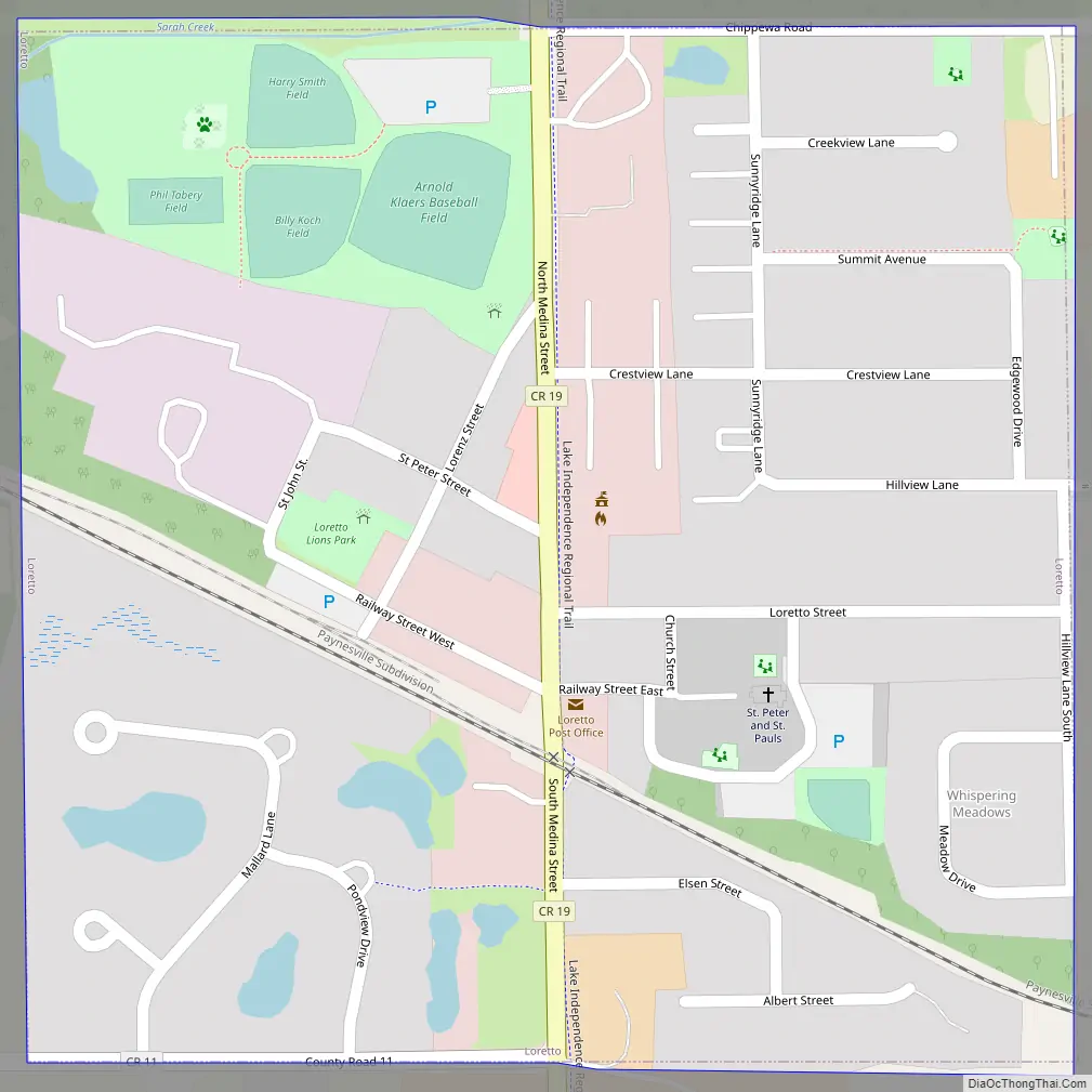
Loretto Road Map
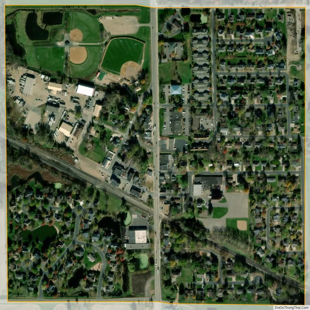
Loretto city Satellite Map
Geography
According to the United States Census Bureau, the city has a total area of 0.29 square miles (0.75 km), all land. County Roads 11 and 19 are two of the main routes. Nearby places include Medina, Maple Plain, Independence, Greenfield, and Corcoran.
See also
Map of Minnesota State and its subdivision:- Aitkin
- Anoka
- Becker
- Beltrami
- Benton
- Big Stone
- Blue Earth
- Brown
- Carlton
- Carver
- Cass
- Chippewa
- Chisago
- Clay
- Clearwater
- Cook
- Cottonwood
- Crow Wing
- Dakota
- Dodge
- Douglas
- Faribault
- Fillmore
- Freeborn
- Goodhue
- Grant
- Hennepin
- Houston
- Hubbard
- Isanti
- Itasca
- Jackson
- Kanabec
- Kandiyohi
- Kittson
- Koochiching
- Lac qui Parle
- Lake
- Lake of the Woods
- Lake Superior
- Le Sueur
- Lincoln
- Lyon
- Mahnomen
- Marshall
- Martin
- McLeod
- Meeker
- Mille Lacs
- Morrison
- Mower
- Murray
- Nicollet
- Nobles
- Norman
- Olmsted
- Otter Tail
- Pennington
- Pine
- Pipestone
- Polk
- Pope
- Ramsey
- Red Lake
- Redwood
- Renville
- Rice
- Rock
- Roseau
- Saint Louis
- Scott
- Sherburne
- Sibley
- Stearns
- Steele
- Stevens
- Swift
- Todd
- Traverse
- Wabasha
- Wadena
- Waseca
- Washington
- Watonwan
- Wilkin
- Winona
- Wright
- Yellow Medicine
- Alabama
- Alaska
- Arizona
- Arkansas
- California
- Colorado
- Connecticut
- Delaware
- District of Columbia
- Florida
- Georgia
- Hawaii
- Idaho
- Illinois
- Indiana
- Iowa
- Kansas
- Kentucky
- Louisiana
- Maine
- Maryland
- Massachusetts
- Michigan
- Minnesota
- Mississippi
- Missouri
- Montana
- Nebraska
- Nevada
- New Hampshire
- New Jersey
- New Mexico
- New York
- North Carolina
- North Dakota
- Ohio
- Oklahoma
- Oregon
- Pennsylvania
- Rhode Island
- South Carolina
- South Dakota
- Tennessee
- Texas
- Utah
- Vermont
- Virginia
- Washington
- West Virginia
- Wisconsin
- Wyoming


