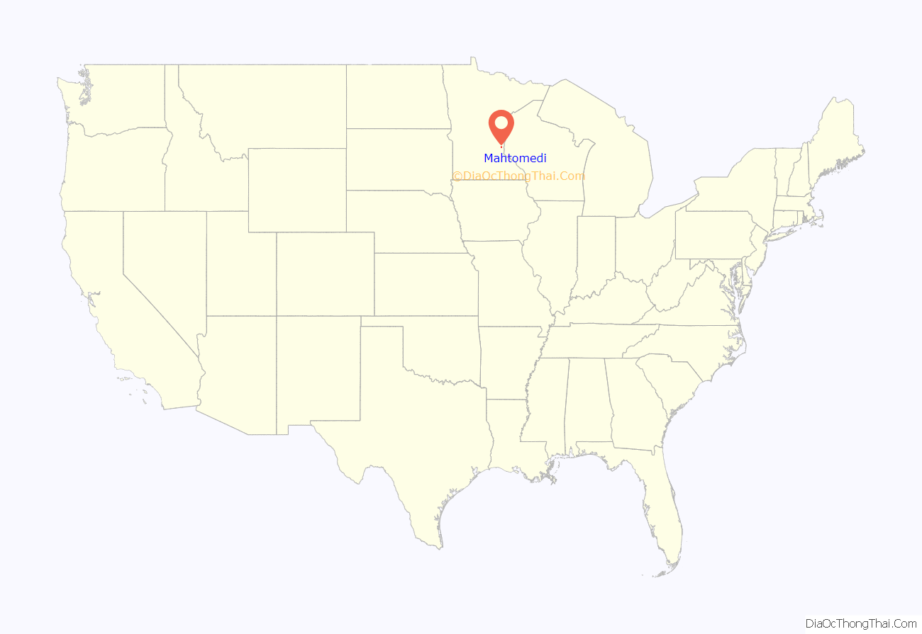
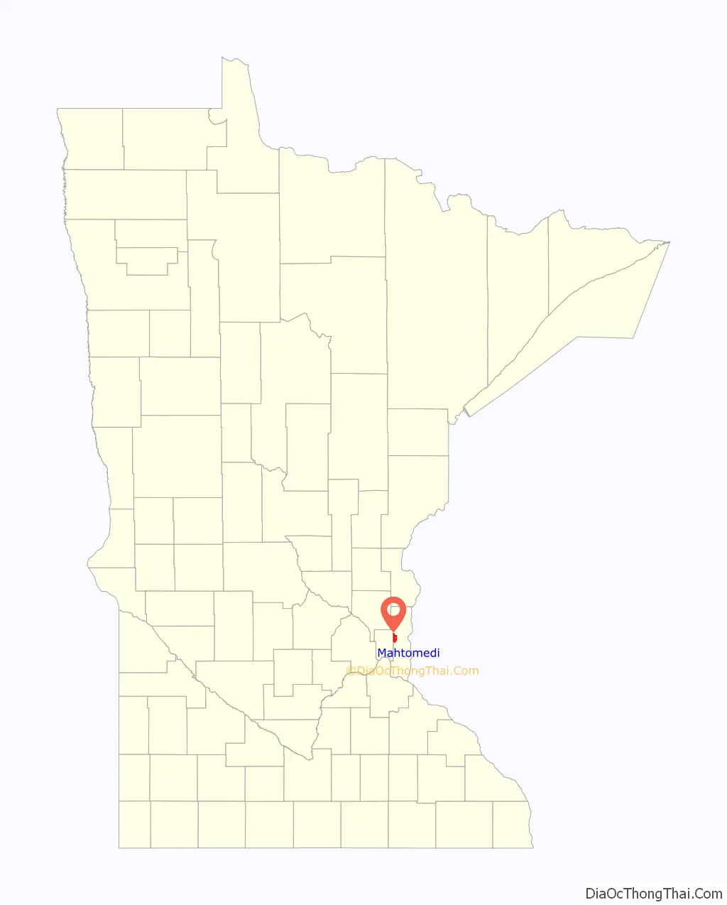
Mahtomedi (/ˌmɑːtoʊˈmiːdaɪ/ MAH-toh-MEE-dy) is a city in Washington County, Minnesota, United States. The population was 7,676 at the 2010 census. Mahtomedi is a suburb of St. Paul and is located between St. Paul and Stillwater.
| Name: | Mahtomedi city |
|---|---|
| LSAD Code: | 25 |
| LSAD Description: | city (suffix) |
| State: | Minnesota |
| County: | Washington County |
| Elevation: | 919 ft (280 m) |
| Total Area: | 5.71 sq mi (14.79 km²) |
| Land Area: | 3.47 sq mi (8.98 km²) |
| Water Area: | 2.24 sq mi (5.81 km²) |
| Total Population: | 8,138 |
| Population Density: | 2,346.60/sq mi (906.02/km²) |
| ZIP code: | 55115 |
| Area code: | 651 |
| FIPS code: | 2739428 |
| GNISfeature ID: | 2395818 |
| Website: | www.ci.mahtomedi.mn.us |
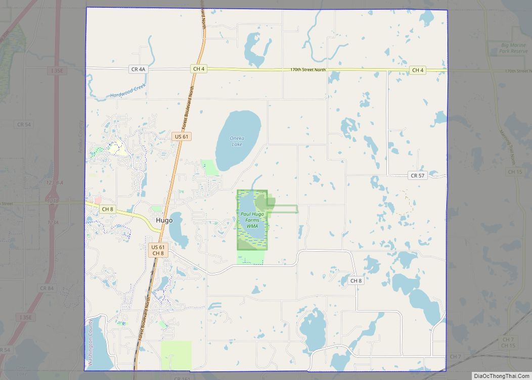
Online Interactive Map
Click on ![]() to view map in "full screen" mode.
to view map in "full screen" mode.
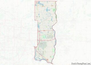
Mahtomedi location map. Where is Mahtomedi city?
History
Mahtomedi was platted in 1883. The city name is from the Dakota for White Bear Lake – mathó “bear”, and mde (bdé) “lake”. A post office was established at Mahtomedi in 1884 and remains in operation today on Wildwood Road.
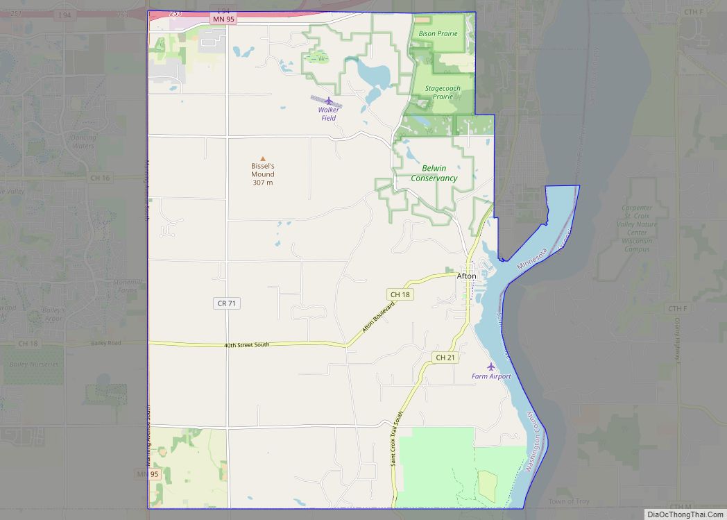
Mahtomedi Road Map

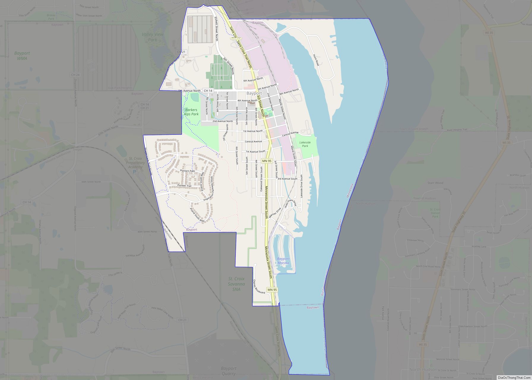
Mahtomedi city Satellite Map
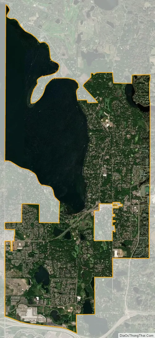
Geography
Mahtomedi is about 276 hours
See also
Map of Minnesota State and its subdivision:- Aitkin
- Anoka
- Becker
- Beltrami
- Benton
- Big Stone
- Blue Earth
- Brown
- Carlton
- Carver
- Cass
- Chippewa
- Chisago
- Clay
- Clearwater
- Cook
- Cottonwood
- Crow Wing
- Dakota
- Dodge
- Douglas
- Faribault
- Fillmore
- Freeborn
- Goodhue
- Grant
- Hennepin
- Houston
- Hubbard
- Isanti
- Itasca
- Jackson
- Kanabec
- Kandiyohi
- Kittson
- Koochiching
- Lac qui Parle
- Lake
- Lake of the Woods
- Lake Superior
- Le Sueur
- Lincoln
- Lyon
- Mahnomen
- Marshall
- Martin
- McLeod
- Meeker
- Mille Lacs
- Morrison
- Mower
- Murray
- Nicollet
- Nobles
- Norman
- Olmsted
- Otter Tail
- Pennington
- Pine
- Pipestone
- Polk
- Pope
- Ramsey
- Red Lake
- Redwood
- Renville
- Rice
- Rock
- Roseau
- Saint Louis
- Scott
- Sherburne
- Sibley
- Stearns
- Steele
- Stevens
- Swift
- Todd
- Traverse
- Wabasha
- Wadena
- Waseca
- Washington
- Watonwan
- Wilkin
- Winona
- Wright
- Yellow Medicine
- Alabama
- Alaska
- Arizona
- Arkansas
- California
- Colorado
- Connecticut
- Delaware
- District of Columbia
- Florida
- Georgia
- Hawaii
- Idaho
- Illinois
- Indiana
- Iowa
- Kansas
- Kentucky
- Louisiana
- Maine
- Maryland
- Massachusetts
- Michigan
- Minnesota
- Mississippi
- Missouri
- Montana
- Nebraska
- Nevada
- New Hampshire
- New Jersey
- New Mexico
- New York
- North Carolina
- North Dakota
- Ohio
- Oklahoma
- Oregon
- Pennsylvania
- Rhode Island
- South Carolina
- South Dakota
- Tennessee
- Texas
- Utah
- Vermont
- Virginia
- Washington
- West Virginia
- Wisconsin
- Wyoming