Medicine Lake is an independent municipality in Hennepin County, Minnesota, United States located on a peninsula that juts into a lake of the same name. The population was 371 at the 2010 census.
| Name: | Medicine Lake city |
|---|---|
| LSAD Code: | 25 |
| LSAD Description: | city (suffix) |
| State: | Minnesota |
| County: | Hennepin County |
| Founded: | 1887 |
| Incorporated: | 1944 |
| Elevation: | 899 ft (274 m) |
| Land Area: | 0.17 sq mi (0.45 km²) |
| Water Area: | 0.20 sq mi (0.51 km²) |
| Population Density: | 1,947.98/sq mi (754.29/km²) |
| ZIP code: | 55441 |
| Area code: | 763 |
| FIPS code: | 2741462 |
| GNISfeature ID: | 0647733 |
| Website: | www.cityofmedicinelake.com |
Online Interactive Map
Click on ![]() to view map in "full screen" mode.
to view map in "full screen" mode.
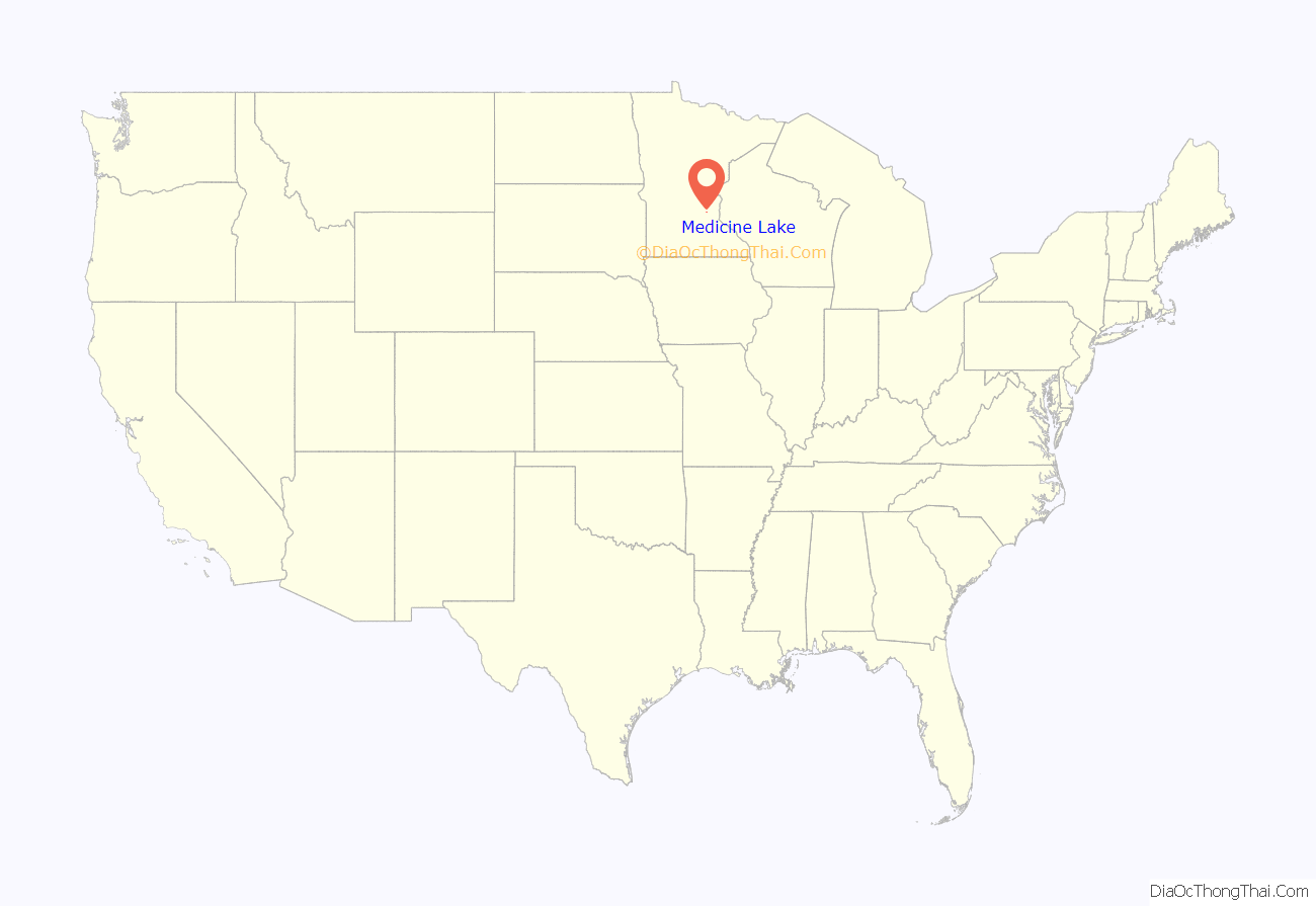
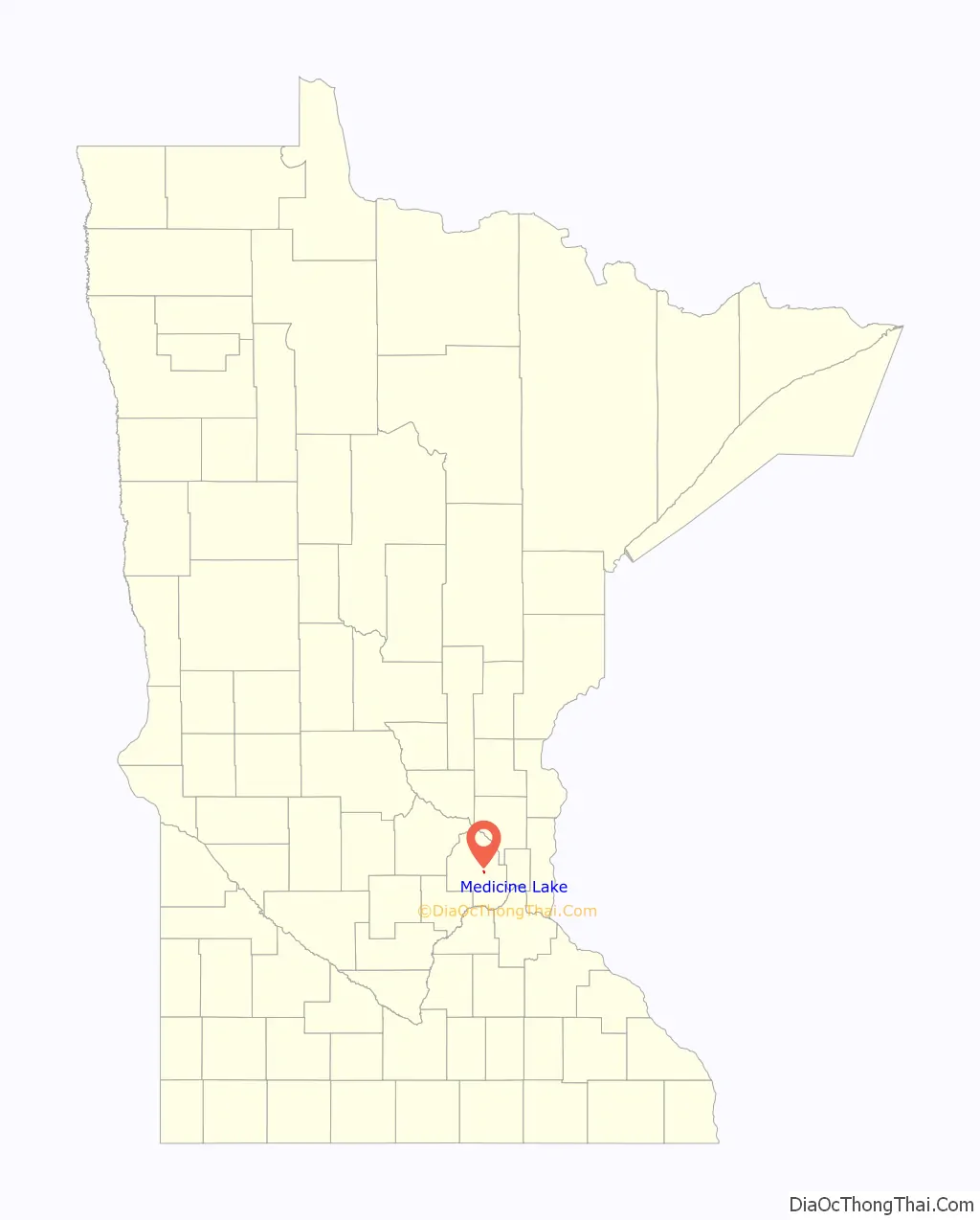
Medicine Lake location map. Where is Medicine Lake city?
History
“Medicine Lake Park” was developed as part of Plymouth, Minnesota by Jacob Barge around 1887. He sold lots to “city folks” to build cabins to get away from the “hustle and bustle” of city life. The City of Medicine Lake became an independent municipality in 1944. That year, residents voted to separate from Plymouth, Minnesota, even though Plymouth surrounds the city geographically. The move toward separation was spearheaded by Mr. Les Johantgen, Mr. Charles Brudigan and Mr. Ernest Ertl, among others. Residents held a meeting on April 14, 1944, to discuss separation from Plymouth. The first referendum on this separation was duly recorded on April 24 of the same year.
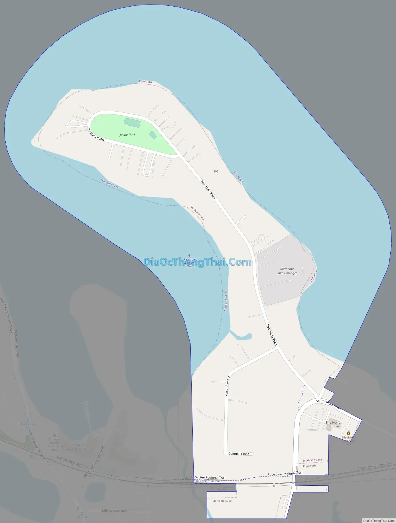
Medicine Lake Road Map
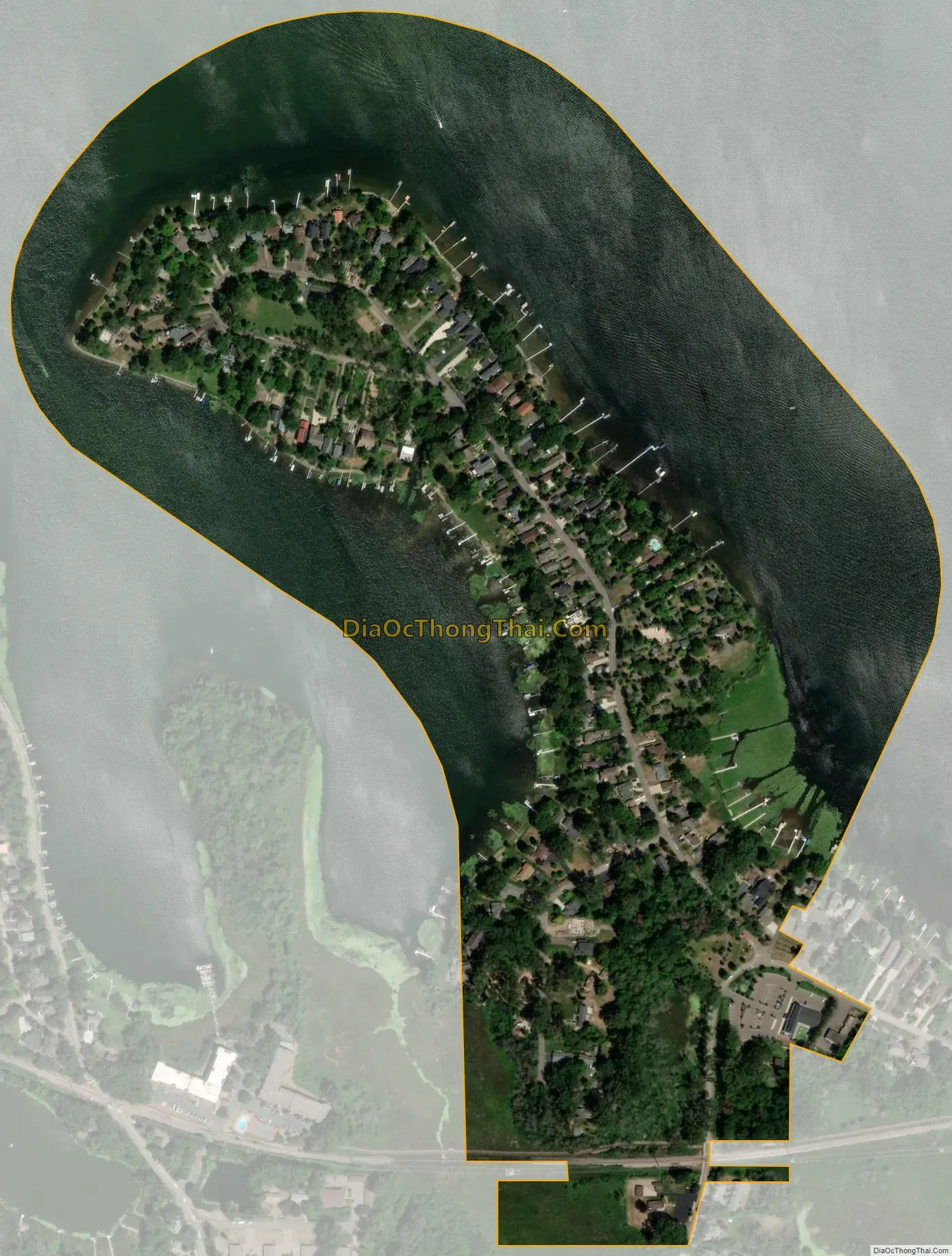
Medicine Lake city Satellite Map
Geography
According to the United States Census Bureau, the city has a total area of 0.33 square miles (0.85 km), of which 0.18 square miles (0.47 km) is land and 0.15 square miles (0.39 km) is water. The city is completely surrounded by the city of Plymouth, and forms a peninsula stretching into the lake that it is named after. The 45th Parallel (North) passes directly through the City of Medicine Lake, as well as through Medicine Lake.
Minnesota State Highway 55 is 0.5 mile from the community.
See also
Map of Minnesota State and its subdivision:- Aitkin
- Anoka
- Becker
- Beltrami
- Benton
- Big Stone
- Blue Earth
- Brown
- Carlton
- Carver
- Cass
- Chippewa
- Chisago
- Clay
- Clearwater
- Cook
- Cottonwood
- Crow Wing
- Dakota
- Dodge
- Douglas
- Faribault
- Fillmore
- Freeborn
- Goodhue
- Grant
- Hennepin
- Houston
- Hubbard
- Isanti
- Itasca
- Jackson
- Kanabec
- Kandiyohi
- Kittson
- Koochiching
- Lac qui Parle
- Lake
- Lake of the Woods
- Lake Superior
- Le Sueur
- Lincoln
- Lyon
- Mahnomen
- Marshall
- Martin
- McLeod
- Meeker
- Mille Lacs
- Morrison
- Mower
- Murray
- Nicollet
- Nobles
- Norman
- Olmsted
- Otter Tail
- Pennington
- Pine
- Pipestone
- Polk
- Pope
- Ramsey
- Red Lake
- Redwood
- Renville
- Rice
- Rock
- Roseau
- Saint Louis
- Scott
- Sherburne
- Sibley
- Stearns
- Steele
- Stevens
- Swift
- Todd
- Traverse
- Wabasha
- Wadena
- Waseca
- Washington
- Watonwan
- Wilkin
- Winona
- Wright
- Yellow Medicine
- Alabama
- Alaska
- Arizona
- Arkansas
- California
- Colorado
- Connecticut
- Delaware
- District of Columbia
- Florida
- Georgia
- Hawaii
- Idaho
- Illinois
- Indiana
- Iowa
- Kansas
- Kentucky
- Louisiana
- Maine
- Maryland
- Massachusetts
- Michigan
- Minnesota
- Mississippi
- Missouri
- Montana
- Nebraska
- Nevada
- New Hampshire
- New Jersey
- New Mexico
- New York
- North Carolina
- North Dakota
- Ohio
- Oklahoma
- Oregon
- Pennsylvania
- Rhode Island
- South Carolina
- South Dakota
- Tennessee
- Texas
- Utah
- Vermont
- Virginia
- Washington
- West Virginia
- Wisconsin
- Wyoming


