Minnetonka (/ˌmɪnɪˈtɒŋkə/ MIN-i-TONG-kə) is a city in Hennepin County, Minnesota, United States. A western suburb of the Twin Cities, Minnetonka is located about 10 miles (16 km) west of downtown Minneapolis. At the 2020 census, the city’s population was 53,781.
Minnetonka is the home of Cargill, the country’s largest privately owned company, and UnitedHealth Group, the state’s largest publicly owned company. Interstate 494 runs through the city while Interstate 394 (U.S. Route 12) and U.S. Route 169 are situated along the suburb’s northern and eastern boundaries respectively.
| Name: | Minnetonka city |
|---|---|
| LSAD Code: | 25 |
| LSAD Description: | city (suffix) |
| State: | Minnesota |
| County: | Hennepin County |
| Founded: | 1852 |
| Incorporated: | 1956 |
| Elevation: | 889 ft (271 m) |
| Land Area: | 26.91 sq mi (69.71 km²) |
| Water Area: | 1.04 sq mi (2.69 km²) |
| Population Density: | 1,998.33/sq mi (771.55/km²) |
| ZIP code: | 55305, 55343, 55345, 55391 |
| Area code: | 952 |
| FIPS code: | 2743252 |
| GNISfeature ID: | 0647949 |
| Website: | minnetonkamn.gov |
Online Interactive Map
Click on ![]() to view map in "full screen" mode.
to view map in "full screen" mode.
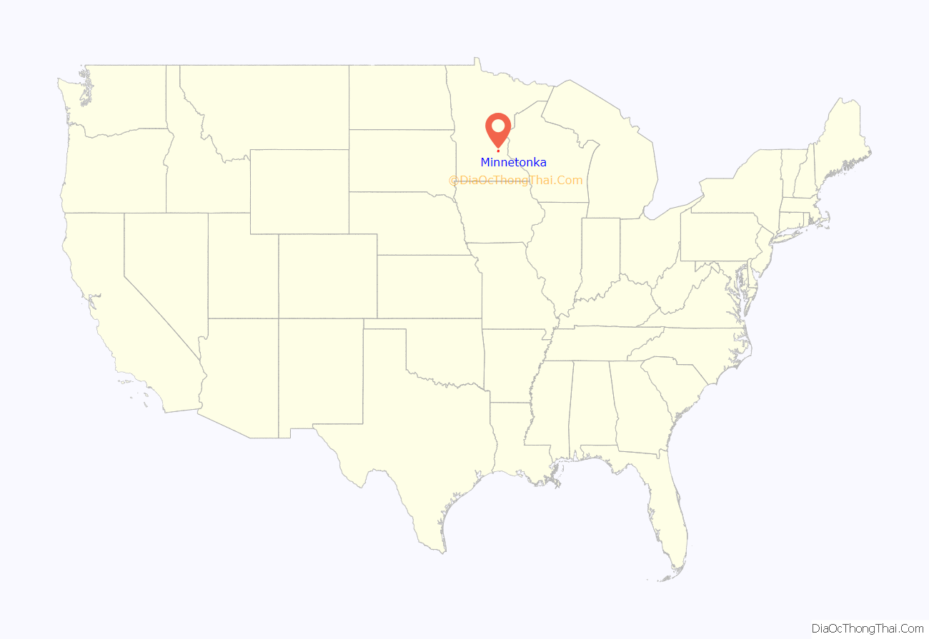
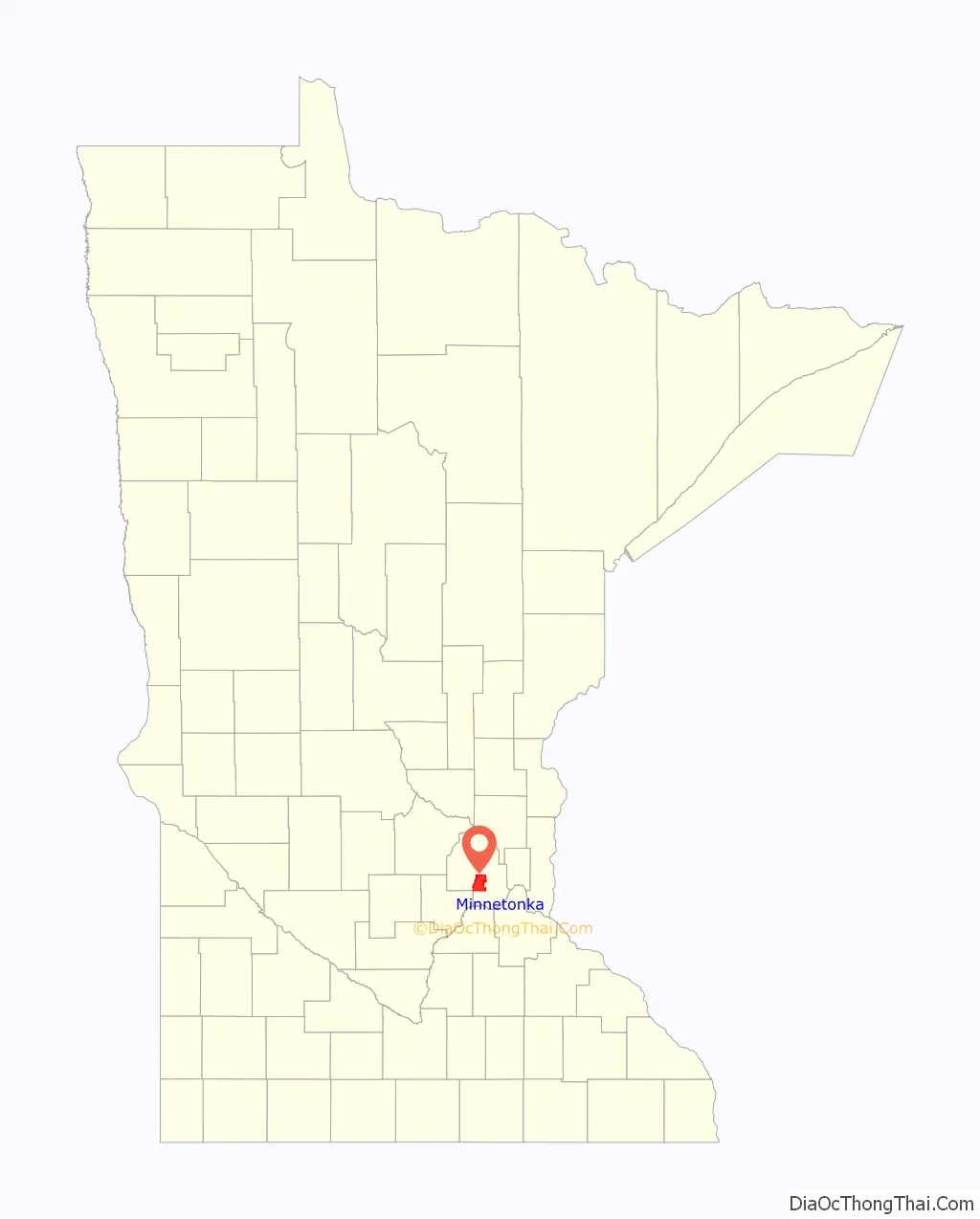
Minnetonka location map. Where is Minnetonka city?
History
Since the mid-19th century, Minnetonka has evolved from heavily wooded wilderness through extensive farming and industrialization to its present primarily residential suburban character. The Minnetonka area was home to the Dakota and Ojibwe Native American tribes before Euro-Americans arrived in the 1800s. They believed Lake Minnetonka (mni meaning water, and tanka meaning big, anglicized to Minnetonka) and the land around it to be sacred. The first recorded exploration of the area by Euro-Americans was in 1822, when a group from newly constructed Fort Snelling made its way up Minnehaha Creek (then known as Brown’s Creek or Falls Creek) to the lake. In 1851, the Dakota sold the area including Minnetonka to the United States with the Treaty of Traverse des Sioux. The first census, the Territorial Census of 1857, lists 41 households. Twenty-nine of the heads of households are listed as farmers. The occupations of the remaining twelve are associated with the operations of Minnetonka Mill and a nearby hotel.
In 1852, a claim was staked on Minnehaha Creek near McGinty Road. The sawmill that was constructed in the thick woods of maple, oak, elm, red cedar and basswood was the first privately operated mill in Minnesota west of the Mississippi River. Oak timbers from this mill were used to build the first suspension bridge across the Mississippi River at Saint Anthony Falls in 1853. The settlement of Minnetonka Mills that grew up around the mill was the first permanent European–American settlement west of Minneapolis in Hennepin County. In 1855, a two-story sawmill was constructed with a furniture factory on the second floor. A building for varnishing furniture was built on the south side of the creek, at the present Bridge Street. Production consisted mainly of chairs and bedsteads.
In 1860, after only 8 years of operation, the sawmill closed. In 1869, a flour and grist mill were constructed and operated until the late 1880s. In 1874, Charles H. Burwell came to manage the Minnetonka Mill Company, and he built a Victorian home on the north bank of Minnehaha Creek (Minnetonka Boulevard at McGinty Road East) for his family. The Charles H. Burwell House is now on the National Register of Historic Places and is owned by the city. There were two other mills in Minnetonka: the St. Alban’s Mill, which was less than 1 mile (2 km) downstream from Minnetonka Mills on Minnehaha Creek, operated as a flour mill from 1874 to 1881. A grist mill built on Purgatory Creek was washed out in a flood shortly after construction. Minnetonka Mills, with its post office and port for Lake Minnetonka, was the principal business and trading center for a large area until the 1870s.
Between 1883 and 1956, the area within the original 36-square-mile (93 km) township grew smaller as Wayzata, Hopkins, Deephaven, Woodland and Saint Louis Park incorporated or annexed portions of then-Minnetonka Township.
Until as late as the 1960s, many portions of Minnetonka were still rural in character, with horse pasture and farms. Those final areas have since been developed with the city now a fully developed suburban community.
The Minnetonka Town Hall, built in 1906, is on the National Register of Historic Places.
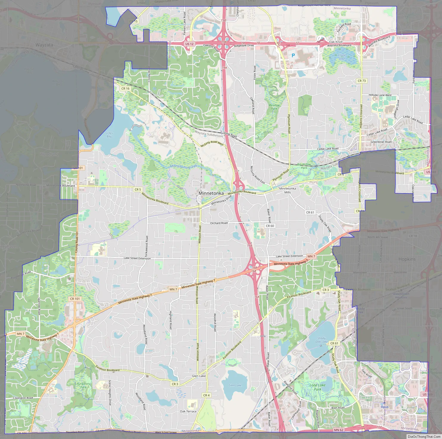
Minnetonka Road Map
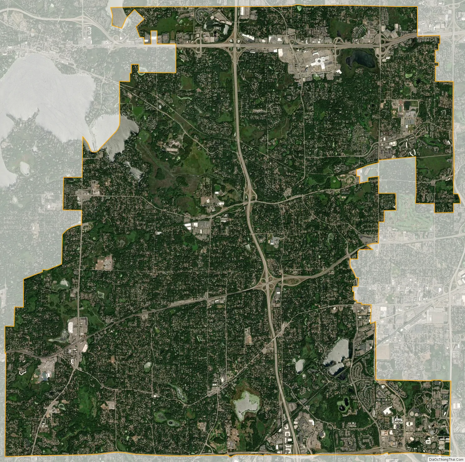
Minnetonka city Satellite Map
Geography
According to the United States Census Bureau, the city has a total area of 28.22 square miles (73.09 km), of which 26.93 square miles (69.75 km) is land and 1.29 square miles (3.34 km) is water. Part of the city includes the eastern tip of Lake Minnetonka, one of the largest lakes in Minnesota. The outlet of Lake Minnetonka is Minnehaha Creek, which winds through south Minneapolis and flows over Minnehaha Falls and into the Mississippi River. Minnetonka is located 8 miles (13 km) west of Minneapolis, in Hennepin County.
See also
Map of Minnesota State and its subdivision:- Aitkin
- Anoka
- Becker
- Beltrami
- Benton
- Big Stone
- Blue Earth
- Brown
- Carlton
- Carver
- Cass
- Chippewa
- Chisago
- Clay
- Clearwater
- Cook
- Cottonwood
- Crow Wing
- Dakota
- Dodge
- Douglas
- Faribault
- Fillmore
- Freeborn
- Goodhue
- Grant
- Hennepin
- Houston
- Hubbard
- Isanti
- Itasca
- Jackson
- Kanabec
- Kandiyohi
- Kittson
- Koochiching
- Lac qui Parle
- Lake
- Lake of the Woods
- Lake Superior
- Le Sueur
- Lincoln
- Lyon
- Mahnomen
- Marshall
- Martin
- McLeod
- Meeker
- Mille Lacs
- Morrison
- Mower
- Murray
- Nicollet
- Nobles
- Norman
- Olmsted
- Otter Tail
- Pennington
- Pine
- Pipestone
- Polk
- Pope
- Ramsey
- Red Lake
- Redwood
- Renville
- Rice
- Rock
- Roseau
- Saint Louis
- Scott
- Sherburne
- Sibley
- Stearns
- Steele
- Stevens
- Swift
- Todd
- Traverse
- Wabasha
- Wadena
- Waseca
- Washington
- Watonwan
- Wilkin
- Winona
- Wright
- Yellow Medicine
- Alabama
- Alaska
- Arizona
- Arkansas
- California
- Colorado
- Connecticut
- Delaware
- District of Columbia
- Florida
- Georgia
- Hawaii
- Idaho
- Illinois
- Indiana
- Iowa
- Kansas
- Kentucky
- Louisiana
- Maine
- Maryland
- Massachusetts
- Michigan
- Minnesota
- Mississippi
- Missouri
- Montana
- Nebraska
- Nevada
- New Hampshire
- New Jersey
- New Mexico
- New York
- North Carolina
- North Dakota
- Ohio
- Oklahoma
- Oregon
- Pennsylvania
- Rhode Island
- South Carolina
- South Dakota
- Tennessee
- Texas
- Utah
- Vermont
- Virginia
- Washington
- West Virginia
- Wisconsin
- Wyoming


