Minnetrista is a city in Hennepin County, Minnesota, United States. Largely rural, Minnetrista has agricultural activity involving corn, soybeans, hay and horses. In addition to farmland and woods, the city is home to several lakes, including part of Lake Minnetonka, the state’s ninth-biggest.
Minnetrista’s name originates in the Dakota language, in which minne means “water” and trista means “crooked.” The population was 6,384 at the 2010 census. It is about 23 miles (37 km) west of Minneapolis, the county seat and the Minnesota’s largest city. Minnetrista is often described as on the boundary between the suburban Twin Cities and rural Greater Minnesota.
| Name: | Minnetrista city |
|---|---|
| LSAD Code: | 25 |
| LSAD Description: | city (suffix) |
| State: | Minnesota |
| County: | Hennepin County |
| Elevation: | 948 ft (289 m) |
| Total Area: | 31.05 sq mi (80.41 km²) |
| Land Area: | 26.11 sq mi (67.62 km²) |
| Water Area: | 4.94 sq mi (12.79 km²) |
| Total Population: | 8,262 |
| Population Density: | 316.45/sq mi (122.18/km²) |
| FIPS code: | 2743306 |
| GNISfeature ID: | 1669532 |
| Website: | www.cityofminnetrista.com// |
Online Interactive Map
Click on ![]() to view map in "full screen" mode.
to view map in "full screen" mode.
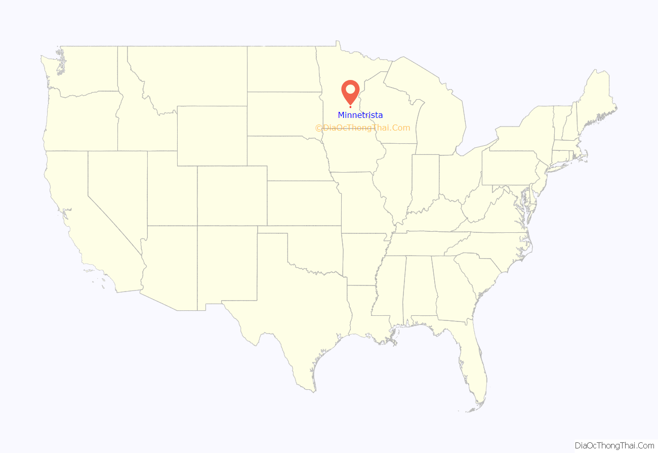
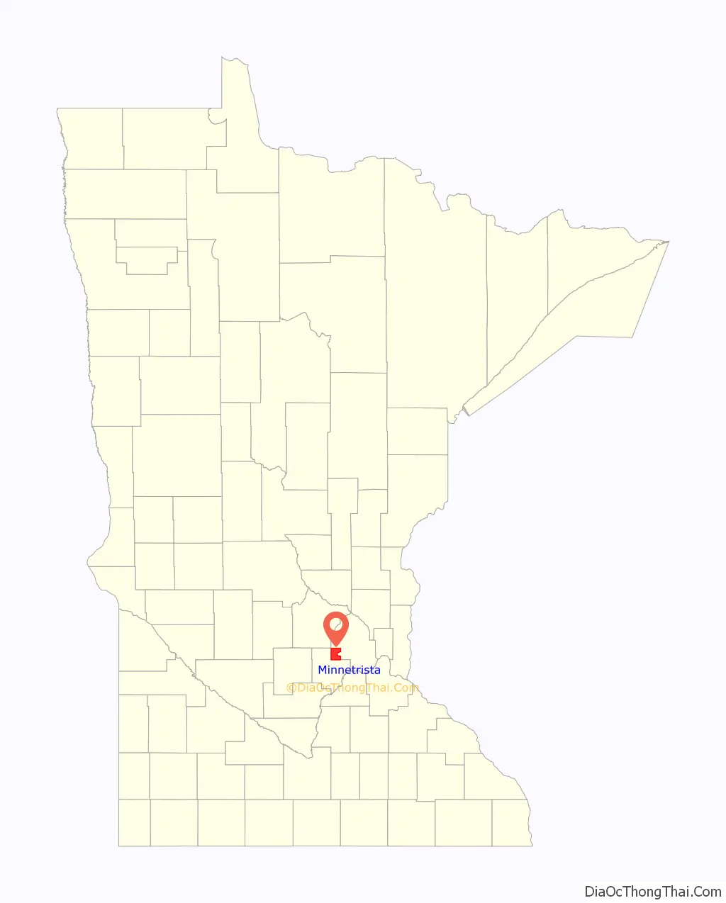
Minnetrista location map. Where is Minnetrista city?
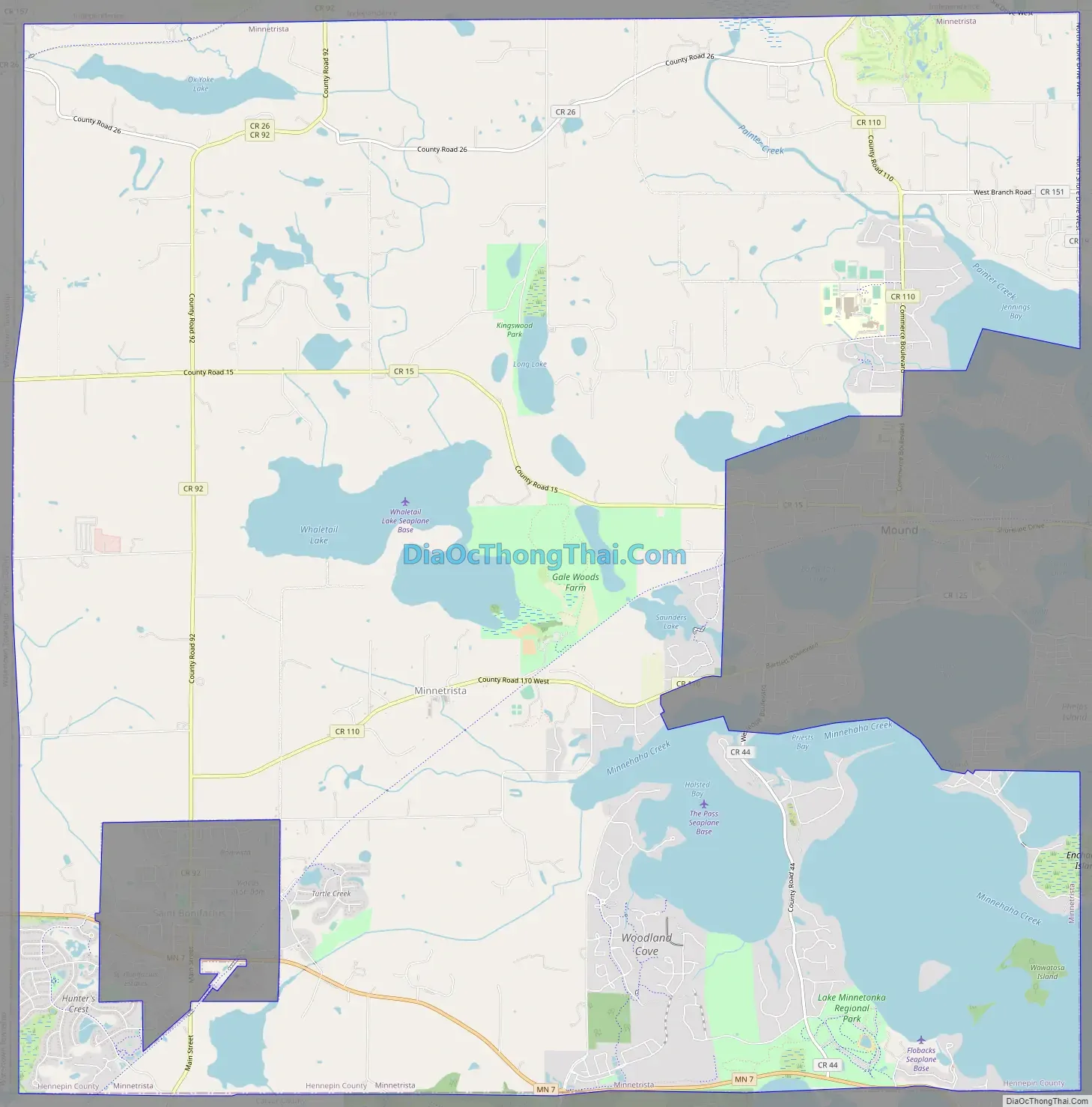
Minnetrista Road Map
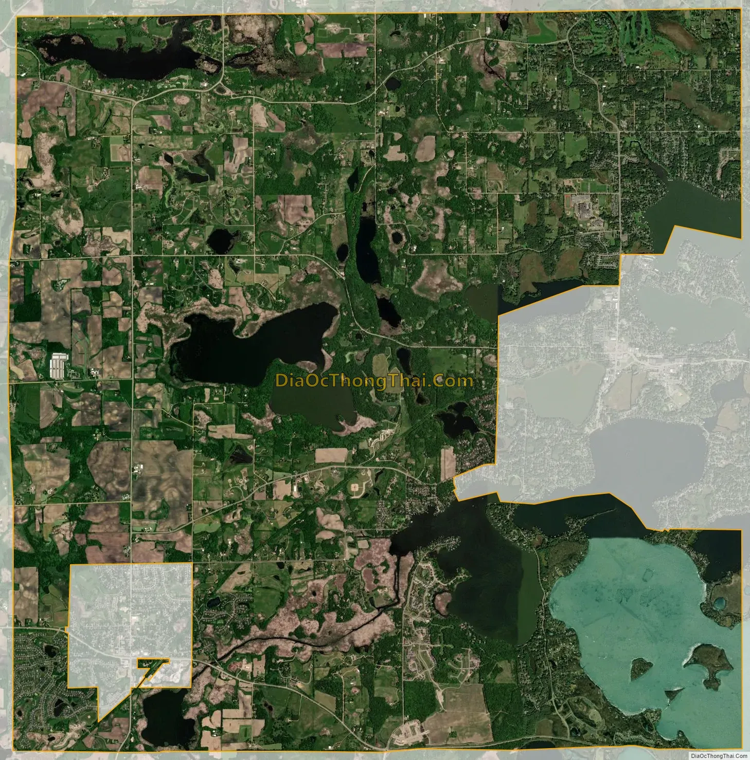
Minnetrista city Satellite Map
Geography
According to the United States Census Bureau, the city has an area of 30.76 square miles (79.67 km), of which 25.82 square miles (66.87 km) is land and 4.94 square miles (12.79 km) is water. The city is entirely in Hennepin County. County Roads 15, 44, 92, and 110 are its main routes.
Lakes in Minnetrista include Whaletail Lake, Little Long Lake, Mud Lake, Ox Yoke Lake, and Saunders Lake, as well as several bays of Lake Minnetonka. Six Mile Creek runs through the western part of the city and brings the runoff from about 17,000 acres (69 km) to Lake Minnetonka.
See also
Map of Minnesota State and its subdivision:- Aitkin
- Anoka
- Becker
- Beltrami
- Benton
- Big Stone
- Blue Earth
- Brown
- Carlton
- Carver
- Cass
- Chippewa
- Chisago
- Clay
- Clearwater
- Cook
- Cottonwood
- Crow Wing
- Dakota
- Dodge
- Douglas
- Faribault
- Fillmore
- Freeborn
- Goodhue
- Grant
- Hennepin
- Houston
- Hubbard
- Isanti
- Itasca
- Jackson
- Kanabec
- Kandiyohi
- Kittson
- Koochiching
- Lac qui Parle
- Lake
- Lake of the Woods
- Lake Superior
- Le Sueur
- Lincoln
- Lyon
- Mahnomen
- Marshall
- Martin
- McLeod
- Meeker
- Mille Lacs
- Morrison
- Mower
- Murray
- Nicollet
- Nobles
- Norman
- Olmsted
- Otter Tail
- Pennington
- Pine
- Pipestone
- Polk
- Pope
- Ramsey
- Red Lake
- Redwood
- Renville
- Rice
- Rock
- Roseau
- Saint Louis
- Scott
- Sherburne
- Sibley
- Stearns
- Steele
- Stevens
- Swift
- Todd
- Traverse
- Wabasha
- Wadena
- Waseca
- Washington
- Watonwan
- Wilkin
- Winona
- Wright
- Yellow Medicine
- Alabama
- Alaska
- Arizona
- Arkansas
- California
- Colorado
- Connecticut
- Delaware
- District of Columbia
- Florida
- Georgia
- Hawaii
- Idaho
- Illinois
- Indiana
- Iowa
- Kansas
- Kentucky
- Louisiana
- Maine
- Maryland
- Massachusetts
- Michigan
- Minnesota
- Mississippi
- Missouri
- Montana
- Nebraska
- Nevada
- New Hampshire
- New Jersey
- New Mexico
- New York
- North Carolina
- North Dakota
- Ohio
- Oklahoma
- Oregon
- Pennsylvania
- Rhode Island
- South Carolina
- South Dakota
- Tennessee
- Texas
- Utah
- Vermont
- Virginia
- Washington
- West Virginia
- Wisconsin
- Wyoming


