Mound is a city in western Hennepin County, Minnesota, United States. The population was 9,052 at the 2010 census. Mound was the birthplace of the Tonka truck that is named after Lake Minnetonka, which the eastern part of town sits on. Mound is 22 miles (35 km) west of Minneapolis, the county seat.
| Name: | Mound city |
|---|---|
| LSAD Code: | 25 |
| LSAD Description: | city (suffix) |
| State: | Minnesota |
| County: | Hennepin County |
| Total Area: | 5.08 sq mi (13.15 km²) |
| Land Area: | 2.86 sq mi (7.41 km²) |
| Water Area: | 2.22 sq mi (5.74 km²) |
| Total Population: | 9,398 |
| Population Density: | 3,284.87/sq mi (1,268.31/km²) |
| ZIP code: | 55364 |
| Area code: | 952 |
| FIPS code: | 2744476 |
| Website: | www.cityofmound.com |
Online Interactive Map
Click on ![]() to view map in "full screen" mode.
to view map in "full screen" mode.
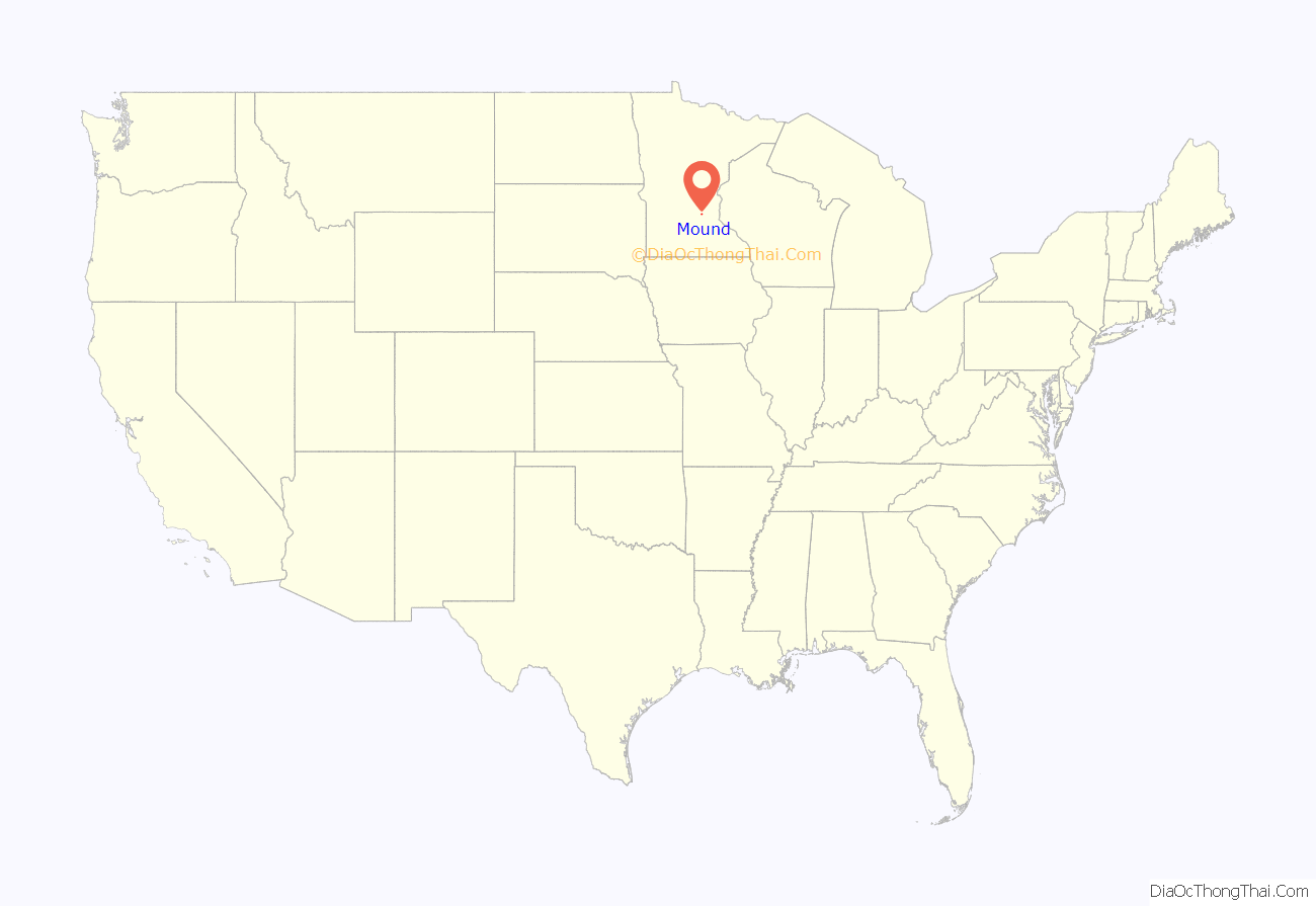
Mound location map. Where is Mound city?
History
According to Melvin Gimmestad’s Historical Backgrounds of Mound, Minnesota, “Mound derived its name from the Indian mounds once found within the present day city limits. They were not built by the Dakota Indians, but were made by prehistoric Indians”.
The former municipality of Island Park, which contained of Phelps Island, merged with Mound in 1960.
Mound celebrated its centennial in 2012.
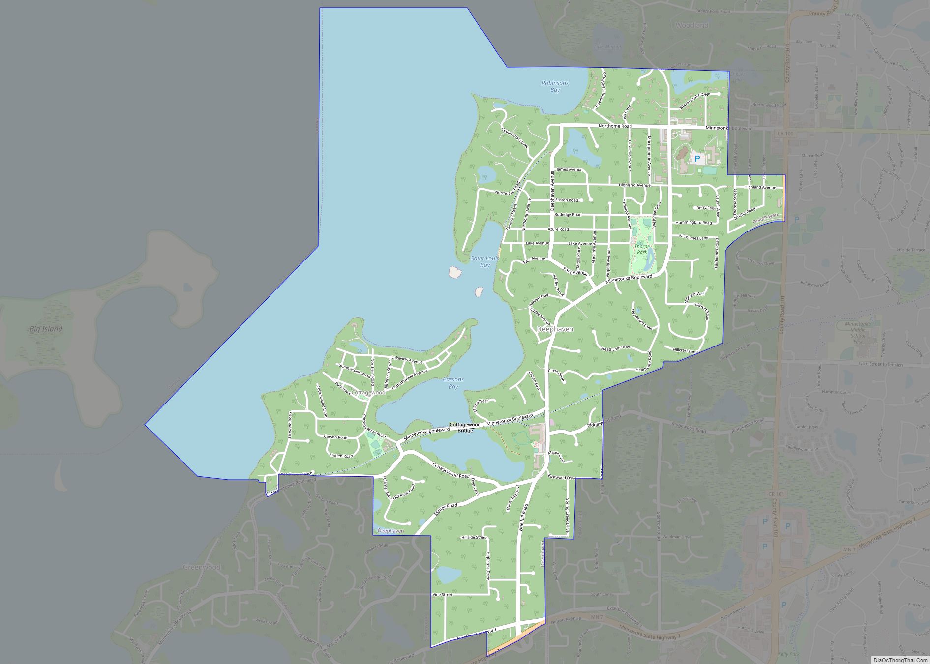
Mound Road Map
Mound city Satellite Map
Geography
According to the United States Census Bureau, the city has a total area of 4.96 square miles (12.85 km), of which 2.86 square miles (7.41 km) is land and 2.10 square miles (5.44 km) is water. County Roads 15 and 110 are two of the main routes.
Lakes in Mound include Black Lake, Dutch Lake, Lake Langdon, Saunders Lake, and Seton Lake. Lake Minnetonka encompasses these and many others in the area. Mound has more than 1,000 docks on its various lakes. The lakes geographically define the town’s areas, such as Three Points, The Island, The Highlands, Grandview Boulevard and Shirley Hills.
Lake Langdon is located immediately west of Mound, between an old Great Northern railroad line and Lake Minnetonka. One of its most notable places is an old ice house and grocery store at the east side of the lake. The store for many years in the 1940s and 1950s was owned and operated by Ed and Pete Sollie, uncles of the Andrews Sisters singing group. Other historic places on the east shore of Lake Langdon are Our Lady of the Lake parochial school, and the Mound Baptist Church, long cared for by Ulrich Eugster, an immigrant to the U.S. from Reute, Switzerland.
See also
Map of Minnesota State and its subdivision:- Aitkin
- Anoka
- Becker
- Beltrami
- Benton
- Big Stone
- Blue Earth
- Brown
- Carlton
- Carver
- Cass
- Chippewa
- Chisago
- Clay
- Clearwater
- Cook
- Cottonwood
- Crow Wing
- Dakota
- Dodge
- Douglas
- Faribault
- Fillmore
- Freeborn
- Goodhue
- Grant
- Hennepin
- Houston
- Hubbard
- Isanti
- Itasca
- Jackson
- Kanabec
- Kandiyohi
- Kittson
- Koochiching
- Lac qui Parle
- Lake
- Lake of the Woods
- Lake Superior
- Le Sueur
- Lincoln
- Lyon
- Mahnomen
- Marshall
- Martin
- McLeod
- Meeker
- Mille Lacs
- Morrison
- Mower
- Murray
- Nicollet
- Nobles
- Norman
- Olmsted
- Otter Tail
- Pennington
- Pine
- Pipestone
- Polk
- Pope
- Ramsey
- Red Lake
- Redwood
- Renville
- Rice
- Rock
- Roseau
- Saint Louis
- Scott
- Sherburne
- Sibley
- Stearns
- Steele
- Stevens
- Swift
- Todd
- Traverse
- Wabasha
- Wadena
- Waseca
- Washington
- Watonwan
- Wilkin
- Winona
- Wright
- Yellow Medicine
- Alabama
- Alaska
- Arizona
- Arkansas
- California
- Colorado
- Connecticut
- Delaware
- District of Columbia
- Florida
- Georgia
- Hawaii
- Idaho
- Illinois
- Indiana
- Iowa
- Kansas
- Kentucky
- Louisiana
- Maine
- Maryland
- Massachusetts
- Michigan
- Minnesota
- Mississippi
- Missouri
- Montana
- Nebraska
- Nevada
- New Hampshire
- New Jersey
- New Mexico
- New York
- North Carolina
- North Dakota
- Ohio
- Oklahoma
- Oregon
- Pennsylvania
- Rhode Island
- South Carolina
- South Dakota
- Tennessee
- Texas
- Utah
- Vermont
- Virginia
- Washington
- West Virginia
- Wisconsin
- Wyoming
