New Hope is a city in Hennepin County, Minnesota, United States and a suburb of Minneapolis. The population was 21,986 at the 2020 census.
| Name: | New Hope city |
|---|---|
| LSAD Code: | 25 |
| LSAD Description: | city (suffix) |
| State: | Minnesota |
| County: | Hennepin County |
| Incorporated: | 1936 |
| Elevation: | 932 ft (284 m) |
| Total Area: | 5.11 sq mi (13.25 km²) |
| Land Area: | 5.06 sq mi (13.10 km²) |
| Water Area: | 0.06 sq mi (0.15 km²) 1.18% |
| Total Population: | 21,986 |
| Population Density: | 4,347.64/sq mi (1,678.64/km²) |
| ZIP code: | 55427, 55428 |
| Area code: | 763 |
| FIPS code: | 2745628 |
| GNISfeature ID: | 0648510 |
Online Interactive Map
Click on ![]() to view map in "full screen" mode.
to view map in "full screen" mode.
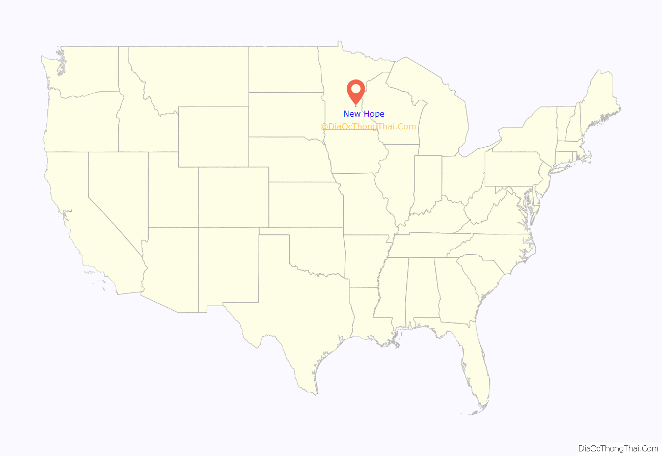
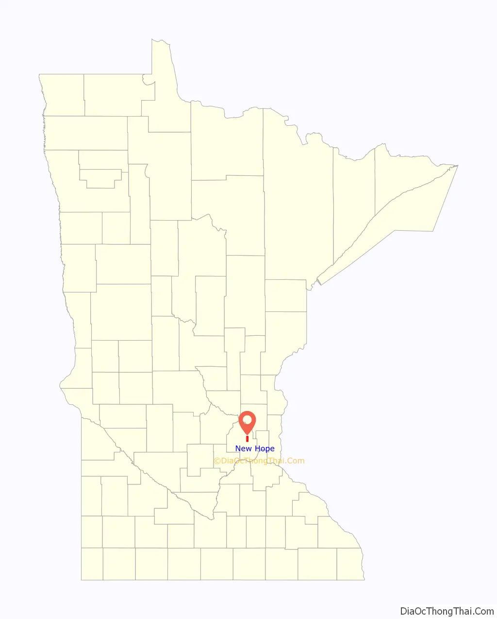
New Hope location map. Where is New Hope city?
History
New Hope was originally a farming community called Hope in Crystal Lake Township. In 1936, rural residents of the township broke away and formed their own township, choosing the name New Hope.
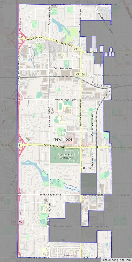
New Hope Road Map
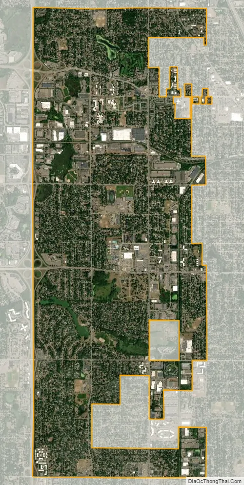
New Hope city Satellite Map
Geography
According to the United States Census Bureau, the city has an area of 5.10 square miles (13.21 km), of which 5.04 square miles (13.05 km) is land and 0.06 square miles (0.16 km) is water. It is 12 miles northwest of downtown Minneapolis.
Climate
According to the Köppen Climate Classification system, New Hope has a hot-summer humid continental climate, abbreviated “Dfa” on climate maps. The hottest temperature recorded in New Hope was 102 °F (38.9 °C) on July 3, 1990, while the coldest temperature recorded was −33 °F (−36.1 °C) on February 2, 1996.
See also
Map of Minnesota State and its subdivision:- Aitkin
- Anoka
- Becker
- Beltrami
- Benton
- Big Stone
- Blue Earth
- Brown
- Carlton
- Carver
- Cass
- Chippewa
- Chisago
- Clay
- Clearwater
- Cook
- Cottonwood
- Crow Wing
- Dakota
- Dodge
- Douglas
- Faribault
- Fillmore
- Freeborn
- Goodhue
- Grant
- Hennepin
- Houston
- Hubbard
- Isanti
- Itasca
- Jackson
- Kanabec
- Kandiyohi
- Kittson
- Koochiching
- Lac qui Parle
- Lake
- Lake of the Woods
- Lake Superior
- Le Sueur
- Lincoln
- Lyon
- Mahnomen
- Marshall
- Martin
- McLeod
- Meeker
- Mille Lacs
- Morrison
- Mower
- Murray
- Nicollet
- Nobles
- Norman
- Olmsted
- Otter Tail
- Pennington
- Pine
- Pipestone
- Polk
- Pope
- Ramsey
- Red Lake
- Redwood
- Renville
- Rice
- Rock
- Roseau
- Saint Louis
- Scott
- Sherburne
- Sibley
- Stearns
- Steele
- Stevens
- Swift
- Todd
- Traverse
- Wabasha
- Wadena
- Waseca
- Washington
- Watonwan
- Wilkin
- Winona
- Wright
- Yellow Medicine
- Alabama
- Alaska
- Arizona
- Arkansas
- California
- Colorado
- Connecticut
- Delaware
- District of Columbia
- Florida
- Georgia
- Hawaii
- Idaho
- Illinois
- Indiana
- Iowa
- Kansas
- Kentucky
- Louisiana
- Maine
- Maryland
- Massachusetts
- Michigan
- Minnesota
- Mississippi
- Missouri
- Montana
- Nebraska
- Nevada
- New Hampshire
- New Jersey
- New Mexico
- New York
- North Carolina
- North Dakota
- Ohio
- Oklahoma
- Oregon
- Pennsylvania
- Rhode Island
- South Carolina
- South Dakota
- Tennessee
- Texas
- Utah
- Vermont
- Virginia
- Washington
- West Virginia
- Wisconsin
- Wyoming


