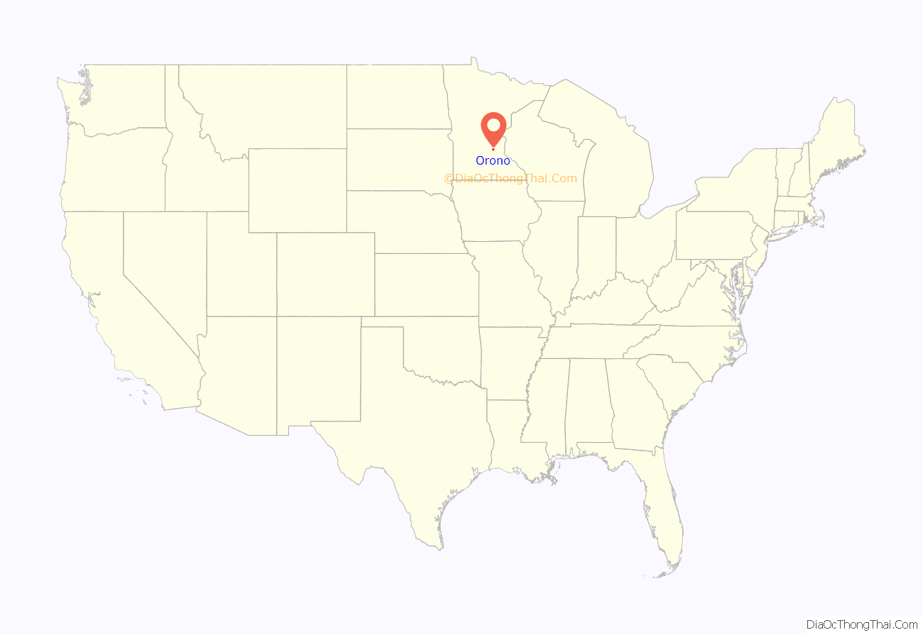
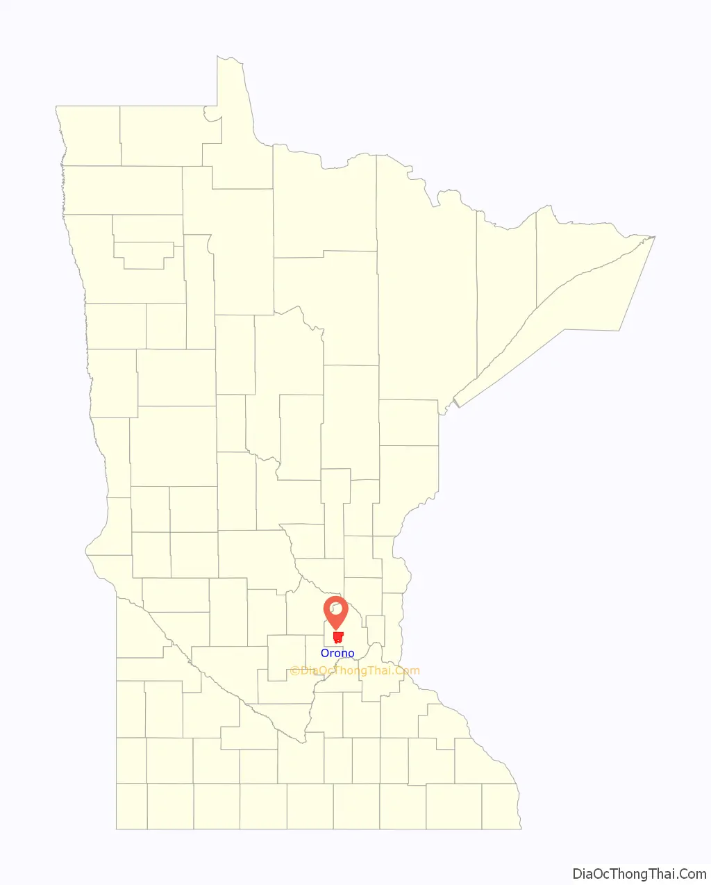
Orono (/ˈɒrəˌnoʊ/ ORR-ə-noh, /ˈɒrnoʊ/ ORR-noh) is city in Hennepin County, Minnesota, United States west of Minneapolis. Located on the north shore of Lake Minnetonka, Orono is one of the city’s most upscale and wealthiest neighborhoods and also known for its sparse suburban character and abundant wildlife.
The population was 7,437 at the 2010 census. Orono is in the Minneapolis-Saint Paul metropolitan area.
| Name: | Orono city |
|---|---|
| LSAD Code: | 25 |
| LSAD Description: | city (suffix) |
| State: | Minnesota |
| County: | Hennepin County |
| Founded: | 1889 |
| Incorporated: | 1955 |
| Elevation: | 935 ft (296 m) |
| Total Area: | 23.98 sq mi (62.12 km²) |
| Land Area: | 15.92 sq mi (41.22 km²) |
| Water Area: | 8.07 sq mi (20.90 km²) |
| Total Population: | 8,315 |
| Population Density: | 522.40/sq mi (201.70/km²) |
| ZIP code: | 55300, 55391, 55399, 55356 |
| Area code: | 952 |
| FIPS code: | 2748580 |
| GNISfeature ID: | 0648996 |
| Website: | www.ci.orono.mn.us |
Online Interactive Map
Click on ![]() to view map in "full screen" mode.
to view map in "full screen" mode.
Orono location map. Where is Orono city?
History
Orono was originally part of Excelsior Township. In 1868, it became part of Medina Township. Residents received permission from Hennepin County to form the independent town of Orono in 1889. It was incorporated as a city in 1955.
Orono is named after Orono, Maine, the hometown of early resident George A. Brackett.
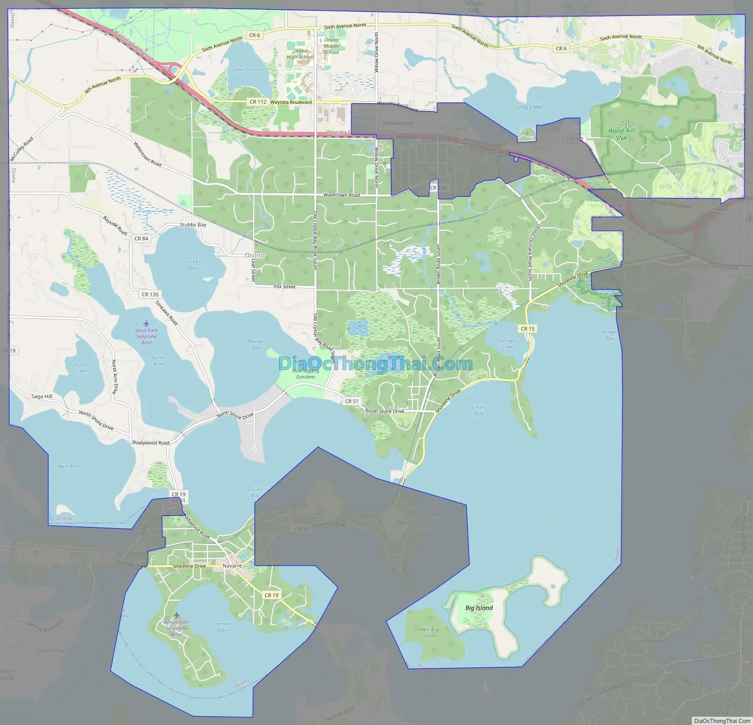
Orono Road Map
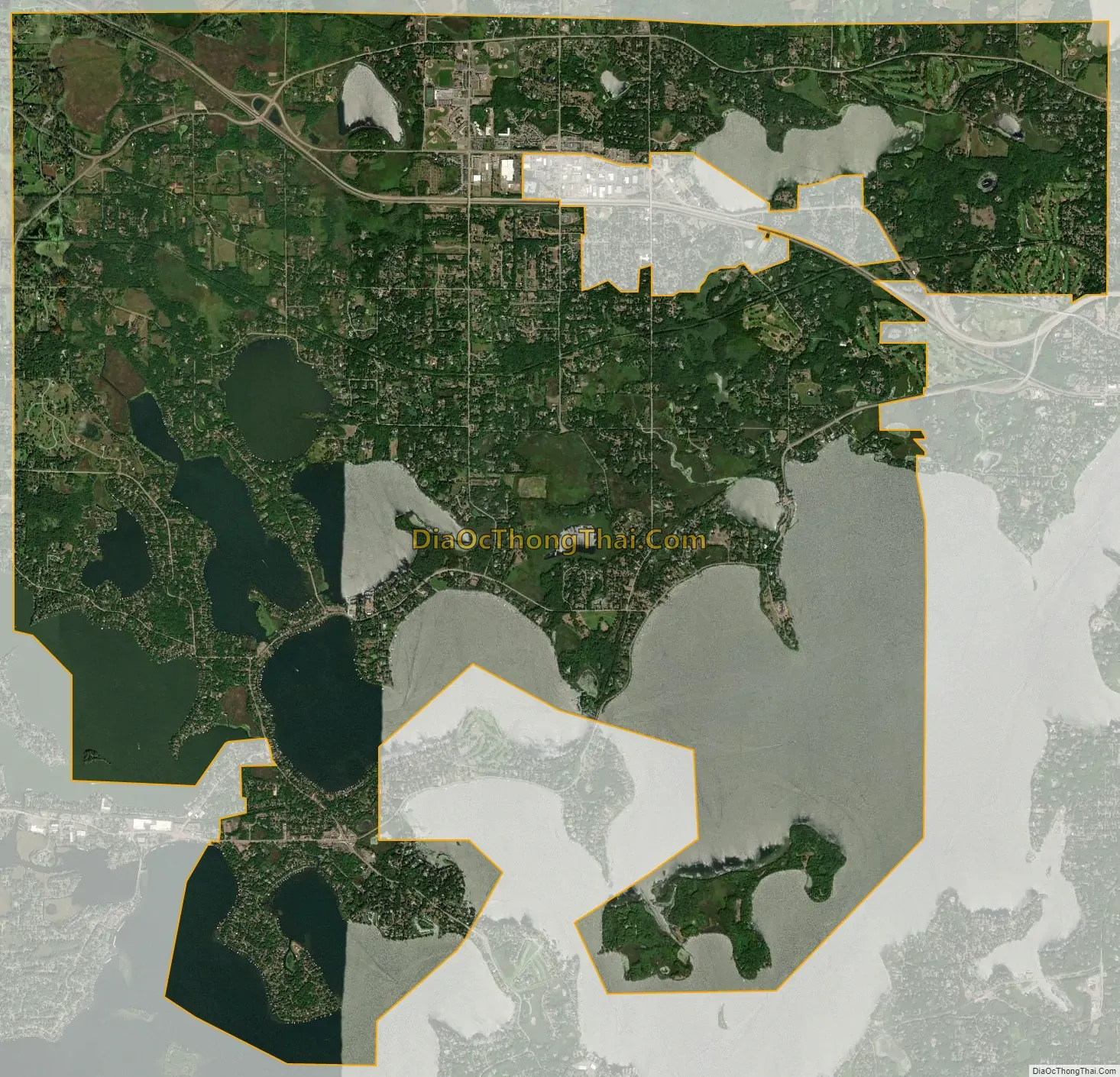
Orono city Satellite Map
Geography
According to the United States Census Bureau, the city has a total area of 25.15 square miles (65.14 km), of which 15.98 square miles (41.39 km) is land and 9.17 square miles (23.75 km) is water. U.S. Highway 12 serves as a main route.
See also
Map of Minnesota State and its subdivision:- Aitkin
- Anoka
- Becker
- Beltrami
- Benton
- Big Stone
- Blue Earth
- Brown
- Carlton
- Carver
- Cass
- Chippewa
- Chisago
- Clay
- Clearwater
- Cook
- Cottonwood
- Crow Wing
- Dakota
- Dodge
- Douglas
- Faribault
- Fillmore
- Freeborn
- Goodhue
- Grant
- Hennepin
- Houston
- Hubbard
- Isanti
- Itasca
- Jackson
- Kanabec
- Kandiyohi
- Kittson
- Koochiching
- Lac qui Parle
- Lake
- Lake of the Woods
- Lake Superior
- Le Sueur
- Lincoln
- Lyon
- Mahnomen
- Marshall
- Martin
- McLeod
- Meeker
- Mille Lacs
- Morrison
- Mower
- Murray
- Nicollet
- Nobles
- Norman
- Olmsted
- Otter Tail
- Pennington
- Pine
- Pipestone
- Polk
- Pope
- Ramsey
- Red Lake
- Redwood
- Renville
- Rice
- Rock
- Roseau
- Saint Louis
- Scott
- Sherburne
- Sibley
- Stearns
- Steele
- Stevens
- Swift
- Todd
- Traverse
- Wabasha
- Wadena
- Waseca
- Washington
- Watonwan
- Wilkin
- Winona
- Wright
- Yellow Medicine
- Alabama
- Alaska
- Arizona
- Arkansas
- California
- Colorado
- Connecticut
- Delaware
- District of Columbia
- Florida
- Georgia
- Hawaii
- Idaho
- Illinois
- Indiana
- Iowa
- Kansas
- Kentucky
- Louisiana
- Maine
- Maryland
- Massachusetts
- Michigan
- Minnesota
- Mississippi
- Missouri
- Montana
- Nebraska
- Nevada
- New Hampshire
- New Jersey
- New Mexico
- New York
- North Carolina
- North Dakota
- Ohio
- Oklahoma
- Oregon
- Pennsylvania
- Rhode Island
- South Carolina
- South Dakota
- Tennessee
- Texas
- Utah
- Vermont
- Virginia
- Washington
- West Virginia
- Wisconsin
- Wyoming


