Rothsay is a city in Otter Tail and Wilkin counties in the State of Minnesota. The population was 498 at the 2020 census. One of Rothsay’s major tourist attractions is the large prairie chicken statue near the northwest outskirts of the town.
The Otter Tail County portion of Rothsay is part of the Fergus Falls Micropolitan Statistical Area, while the Wilkin County portion is part of the Wahpeton, ND—MN Micropolitan Statistical Area.
| Name: | Rothsay city |
|---|---|
| LSAD Code: | 25 |
| LSAD Description: | city (suffix) |
| State: | Minnesota |
| County: | Otter Tail County, Wilkin County |
| Elevation: | 1,211 ft (369 m) |
| Total Area: | 0.86 sq mi (2.22 km²) |
| Land Area: | 0.86 sq mi (2.22 km²) |
| Water Area: | 0.00 sq mi (0.00 km²) |
| Total Population: | 498 |
| Population Density: | 580.42/sq mi (224.14/km²) |
| ZIP code: | 56579 |
| Area code: | 218 |
| FIPS code: | 2756014 |
| GNISfeature ID: | 0650315 |
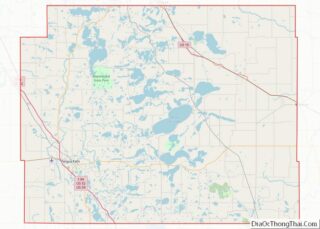
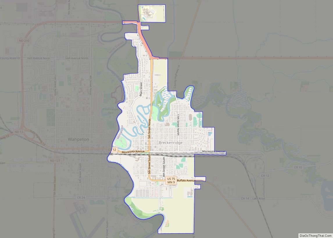
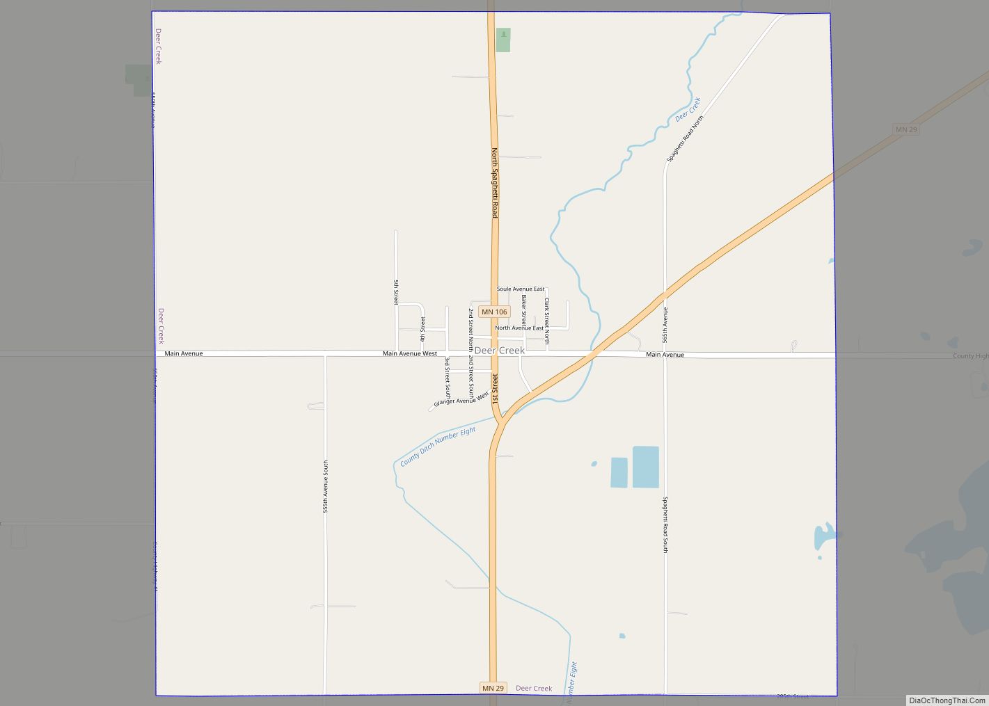
Online Interactive Map
Click on ![]() to view map in "full screen" mode.
to view map in "full screen" mode.
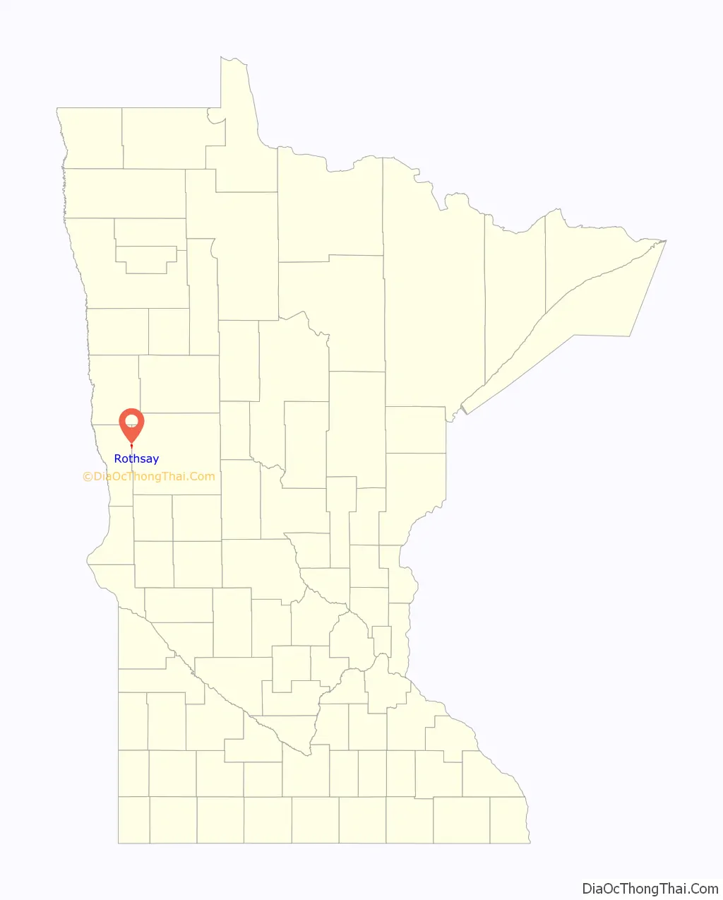
Rothsay location map. Where is Rothsay city?

History
A post office called Rothsay has been in operation since 1880. The city was named after Rothesay, in Scotland. Rothsay contains one property listed on the National Register of Historic Places, the 1903 J. A. Johnson Blacksmith Shop.
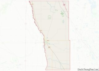
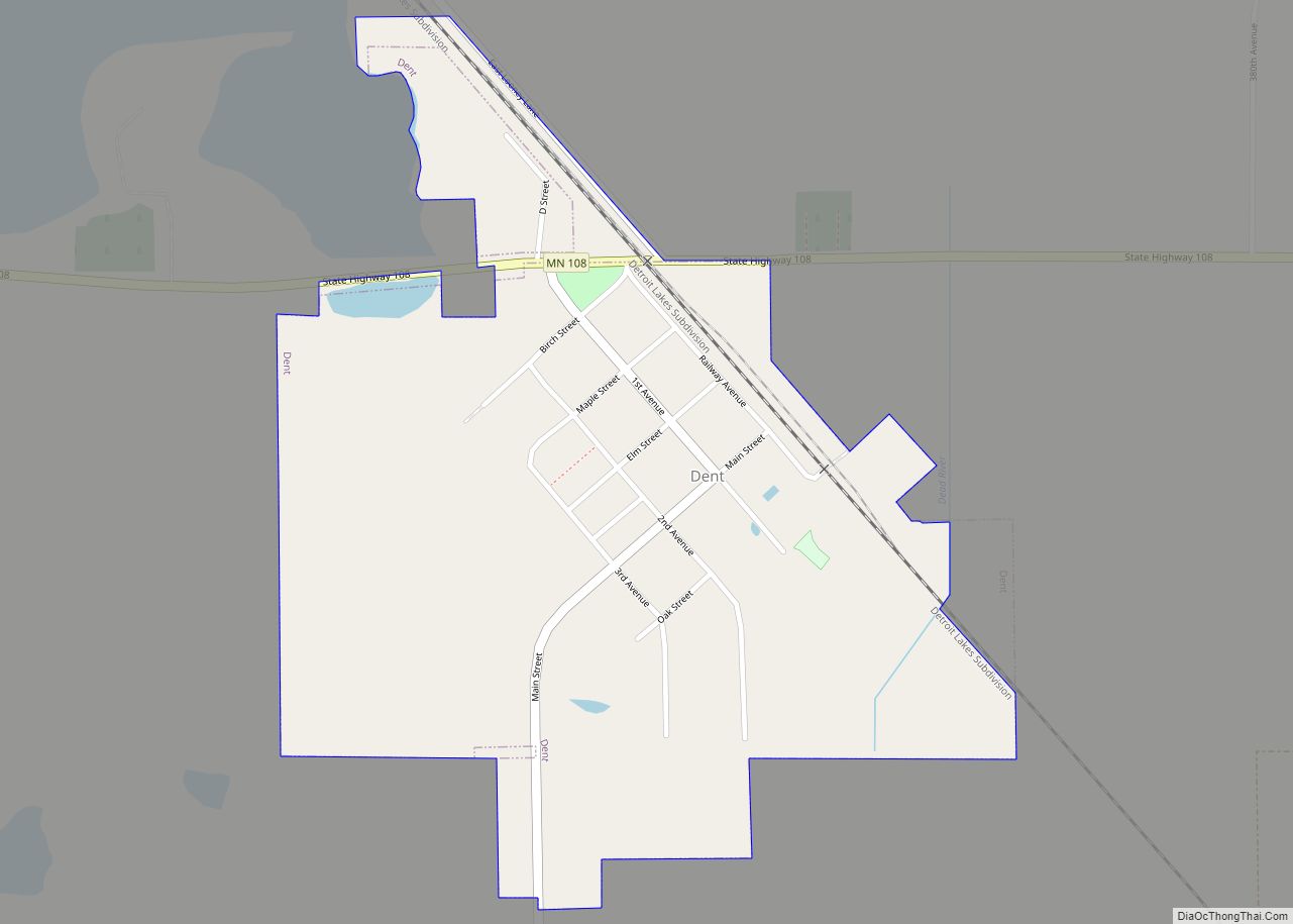
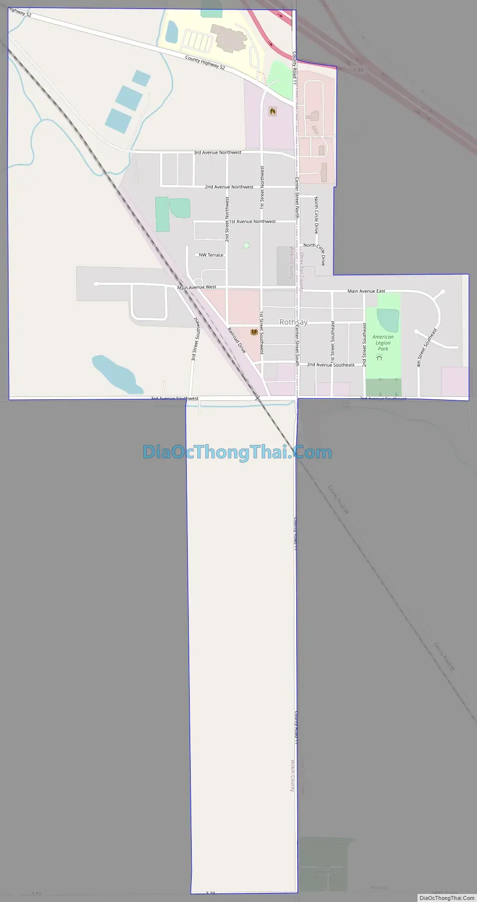
Rothsay Road Map
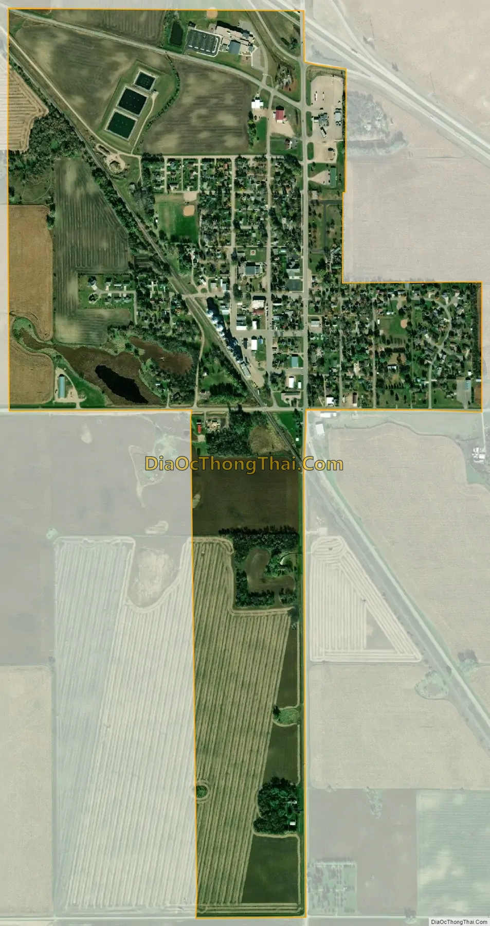
Rothsay city Satellite Map
Geography
According to the United States Census Bureau, the city has a total area of 0.88 square miles (2.28 km), all land.
Interstate Highway 94/US Highway 52, Center Street, and Main Avenue are three of the main routes in the community.
Climate
See also
Map of Minnesota State and its subdivision:- Aitkin
- Anoka
- Becker
- Beltrami
- Benton
- Big Stone
- Blue Earth
- Brown
- Carlton
- Carver
- Cass
- Chippewa
- Chisago
- Clay
- Clearwater
- Cook
- Cottonwood
- Crow Wing
- Dakota
- Dodge
- Douglas
- Faribault
- Fillmore
- Freeborn
- Goodhue
- Grant
- Hennepin
- Houston
- Hubbard
- Isanti
- Itasca
- Jackson
- Kanabec
- Kandiyohi
- Kittson
- Koochiching
- Lac qui Parle
- Lake
- Lake of the Woods
- Lake Superior
- Le Sueur
- Lincoln
- Lyon
- Mahnomen
- Marshall
- Martin
- McLeod
- Meeker
- Mille Lacs
- Morrison
- Mower
- Murray
- Nicollet
- Nobles
- Norman
- Olmsted
- Otter Tail
- Pennington
- Pine
- Pipestone
- Polk
- Pope
- Ramsey
- Red Lake
- Redwood
- Renville
- Rice
- Rock
- Roseau
- Saint Louis
- Scott
- Sherburne
- Sibley
- Stearns
- Steele
- Stevens
- Swift
- Todd
- Traverse
- Wabasha
- Wadena
- Waseca
- Washington
- Watonwan
- Wilkin
- Winona
- Wright
- Yellow Medicine
- Alabama
- Alaska
- Arizona
- Arkansas
- California
- Colorado
- Connecticut
- Delaware
- District of Columbia
- Florida
- Georgia
- Hawaii
- Idaho
- Illinois
- Indiana
- Iowa
- Kansas
- Kentucky
- Louisiana
- Maine
- Maryland
- Massachusetts
- Michigan
- Minnesota
- Mississippi
- Missouri
- Montana
- Nebraska
- Nevada
- New Hampshire
- New Jersey
- New Mexico
- New York
- North Carolina
- North Dakota
- Ohio
- Oklahoma
- Oregon
- Pennsylvania
- Rhode Island
- South Carolina
- South Dakota
- Tennessee
- Texas
- Utah
- Vermont
- Virginia
- Washington
- West Virginia
- Wisconsin
- Wyoming