Silver Bay is a city in Lake County, Minnesota, United States. The population was 1,857 at the time of the 2020 census. It is the largest population center in a natural tourism area which includes, Tettegouche State Park and the Split Rock Lighthouse. It is a port along Lake Superior for iron ore and has taconite mining facilities of its own.
The North Shore National Scenic Drive runs through town.
| Name: | Silver Bay city |
|---|---|
| LSAD Code: | 25 |
| LSAD Description: | city (suffix) |
| State: | Minnesota |
| County: | Lake County |
| Elevation: | 764 ft (233 m) |
| Total Area: | 8.06 sq mi (20.88 km²) |
| Land Area: | 7.63 sq mi (19.76 km²) |
| Water Area: | 0.43 sq mi (1.12 km²) |
| Total Population: | 1,857 |
| Population Density: | 243.45/sq mi (93.99/km²) |
| ZIP code: | 55614 |
| Area code: | 218 |
| FIPS code: | 2760250 |
| GNISfeature ID: | 0658258 |
| Website: | silverbay.com |
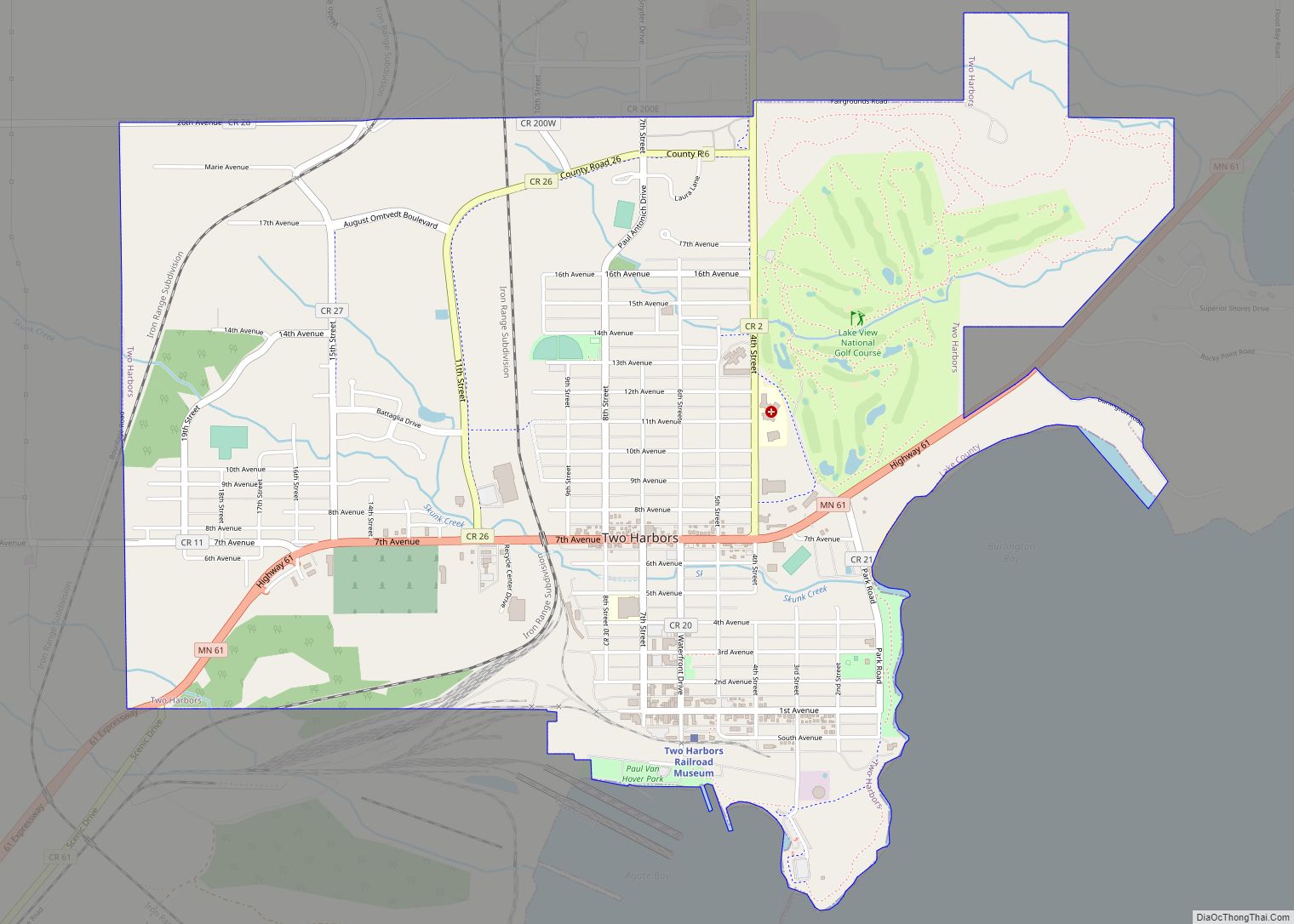
Online Interactive Map
Click on ![]() to view map in "full screen" mode.
to view map in "full screen" mode.
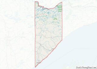
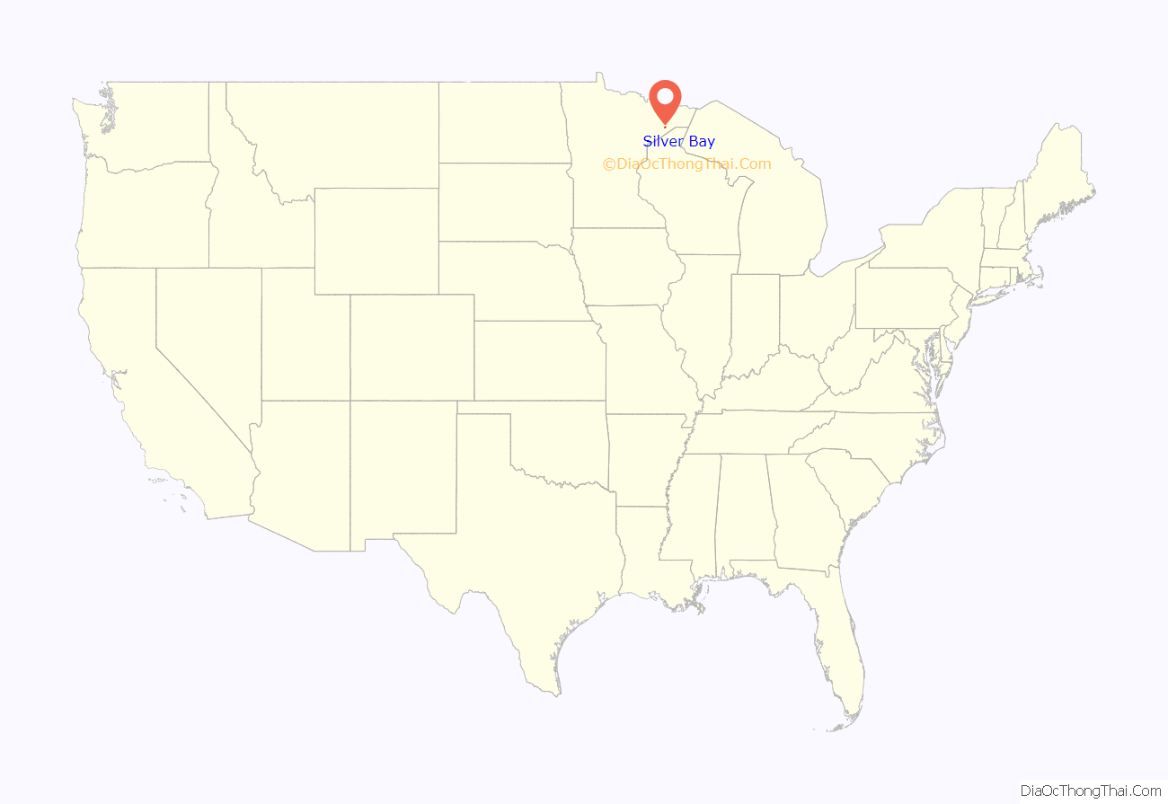
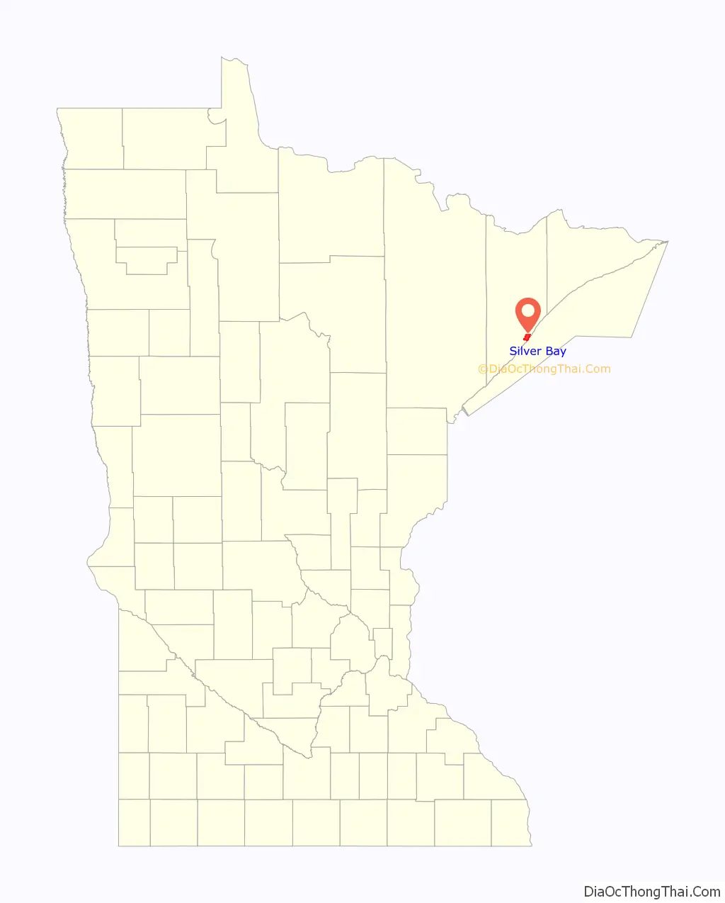
Silver Bay location map. Where is Silver Bay city?
History
The city of Silver Bay was founded on May 1, 1954 after previously being known as the Beaver Bay housing project. The company town was built to process taconite mined and shipped by train from Babbitt, Minnesota, sixty miles to the northwest.
Silver Bay attained widespread publicity in the 1960s when it was discovered that the Reserve Corporation was dumping taconite tailings into Lake Superior. In 1972 they were forced to stop and charged with violating the Rivers and Harbors Act of 1899, which prohibited the dumping of harmful materials into interstate waters. In 1977, after a long trial, a new waste-storage facility was built 7 miles inland. Often referred to as “Mile Post 7”
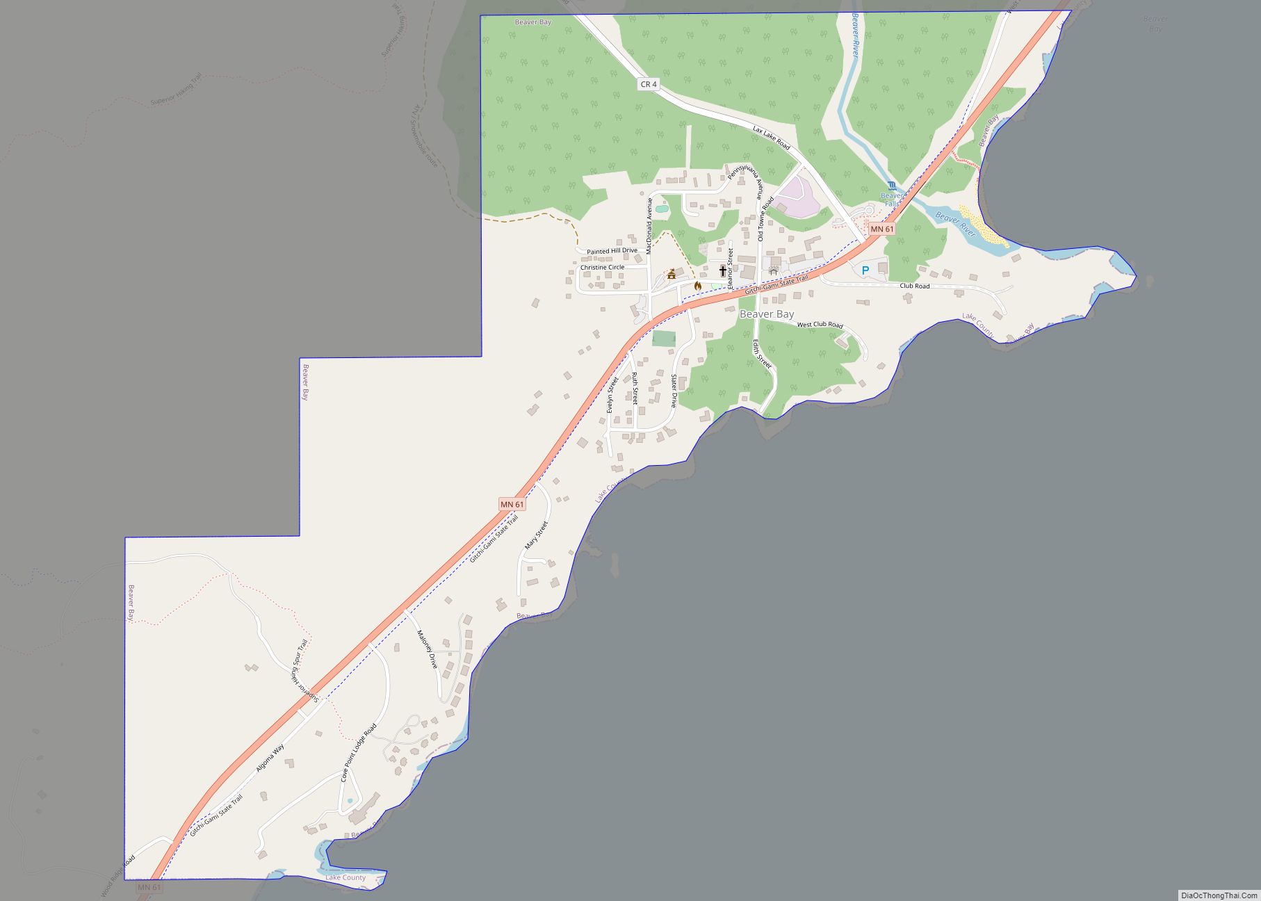
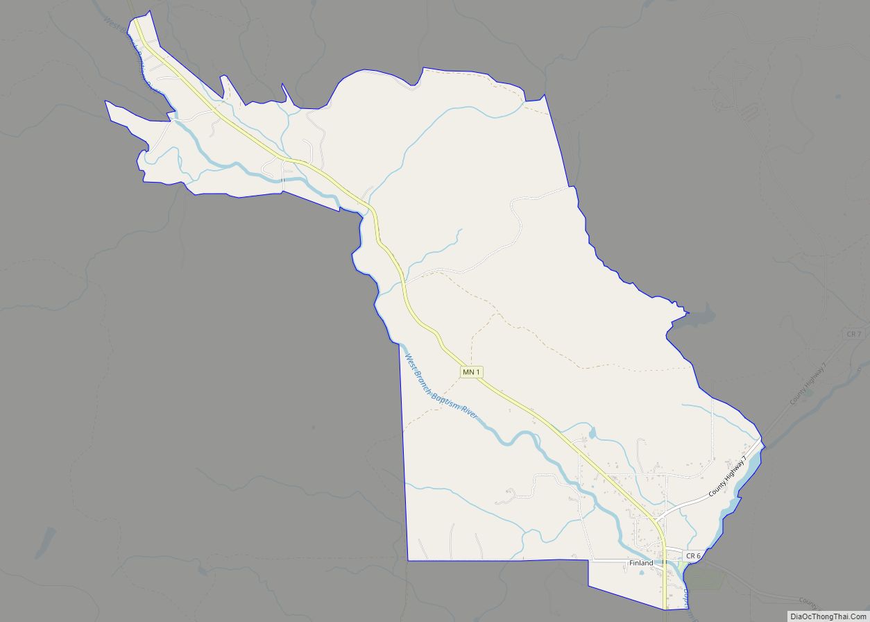
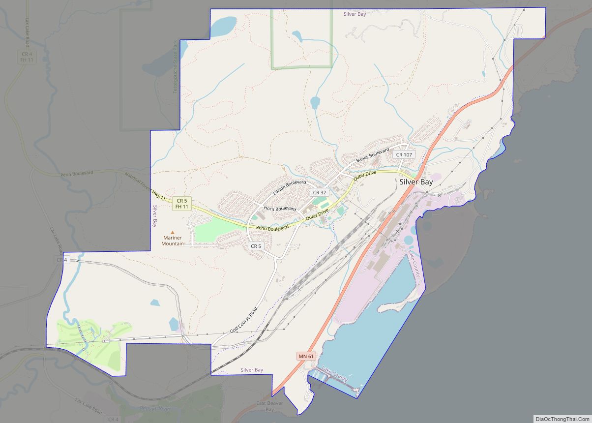
Silver Bay Road Map
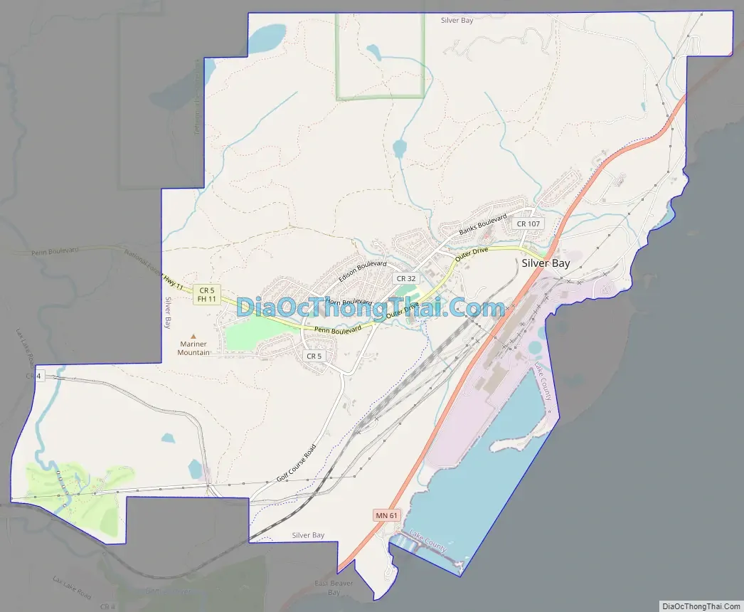
Silver Bay city Satellite Map

Geography
According to the United States Census Bureau, the city has a total area of 8.36 square miles (21.65 km), of which 7.89 square miles (20.44 km) is land and 0.47 square miles (1.22 km) is water.
Silver Bay is located 28 miles northeast of Two Harbors, 54 miles northeast of Duluth, 55 miles southwest of Grand Marais, and about 100 miles south of the Canadian border. It is about half way between Duluth and Grand Marais, along the North Shore of Lake Superior.
Tettegouche State Park, the Baptism River, and the Palisade Head rock formation are all nearby.
Summer hiking trails, winter cross country skiing, maintained snowmobile trails , multiple parks, a hockey arena, and 4 baseball/softball fields are located within Silver Bay.
See also
Map of Minnesota State and its subdivision:- Aitkin
- Anoka
- Becker
- Beltrami
- Benton
- Big Stone
- Blue Earth
- Brown
- Carlton
- Carver
- Cass
- Chippewa
- Chisago
- Clay
- Clearwater
- Cook
- Cottonwood
- Crow Wing
- Dakota
- Dodge
- Douglas
- Faribault
- Fillmore
- Freeborn
- Goodhue
- Grant
- Hennepin
- Houston
- Hubbard
- Isanti
- Itasca
- Jackson
- Kanabec
- Kandiyohi
- Kittson
- Koochiching
- Lac qui Parle
- Lake
- Lake of the Woods
- Lake Superior
- Le Sueur
- Lincoln
- Lyon
- Mahnomen
- Marshall
- Martin
- McLeod
- Meeker
- Mille Lacs
- Morrison
- Mower
- Murray
- Nicollet
- Nobles
- Norman
- Olmsted
- Otter Tail
- Pennington
- Pine
- Pipestone
- Polk
- Pope
- Ramsey
- Red Lake
- Redwood
- Renville
- Rice
- Rock
- Roseau
- Saint Louis
- Scott
- Sherburne
- Sibley
- Stearns
- Steele
- Stevens
- Swift
- Todd
- Traverse
- Wabasha
- Wadena
- Waseca
- Washington
- Watonwan
- Wilkin
- Winona
- Wright
- Yellow Medicine
- Alabama
- Alaska
- Arizona
- Arkansas
- California
- Colorado
- Connecticut
- Delaware
- District of Columbia
- Florida
- Georgia
- Hawaii
- Idaho
- Illinois
- Indiana
- Iowa
- Kansas
- Kentucky
- Louisiana
- Maine
- Maryland
- Massachusetts
- Michigan
- Minnesota
- Mississippi
- Missouri
- Montana
- Nebraska
- Nevada
- New Hampshire
- New Jersey
- New Mexico
- New York
- North Carolina
- North Dakota
- Ohio
- Oklahoma
- Oregon
- Pennsylvania
- Rhode Island
- South Carolina
- South Dakota
- Tennessee
- Texas
- Utah
- Vermont
- Virginia
- Washington
- West Virginia
- Wisconsin
- Wyoming