Saint Augusta, formerly named Ventura, is a city in Stearns County, Minnesota, United States, directly south of the city of St. Cloud. The population was 3,497 at the 2020 census.
St. Augusta is part of the Saint Cloud Metropolitan Statistical Area.
| Name: | St. Augusta city |
|---|---|
| LSAD Code: | 25 |
| LSAD Description: | city (suffix) |
| State: | Minnesota |
| County: | Stearns County |
| Incorporated: | May 2, 2000 |
| Elevation: | 1,017 ft (310 m) |
| Total Area: | 29.84 sq mi (77.28 km²) |
| Land Area: | 29.68 sq mi (76.88 km²) |
| Water Area: | 0.15 sq mi (0.40 km²) |
| Total Population: | 3,497 |
| Population Density: | 117.80/sq mi (45.48/km²) |
| ZIP code: | 56301 |
| Area code: | 320 |
| FIPS code: | 2756724 |
| Website: | staugustamn.com |
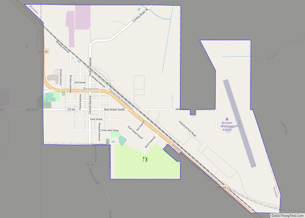
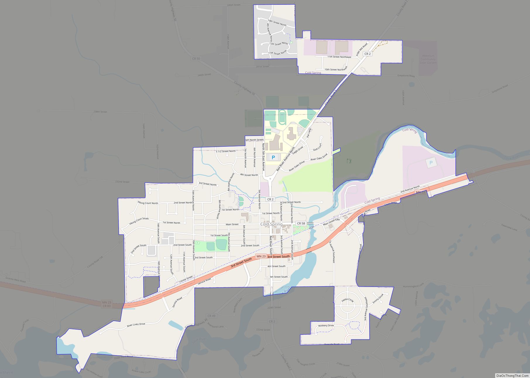
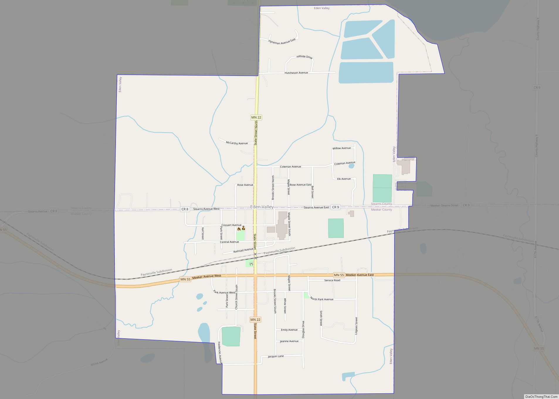
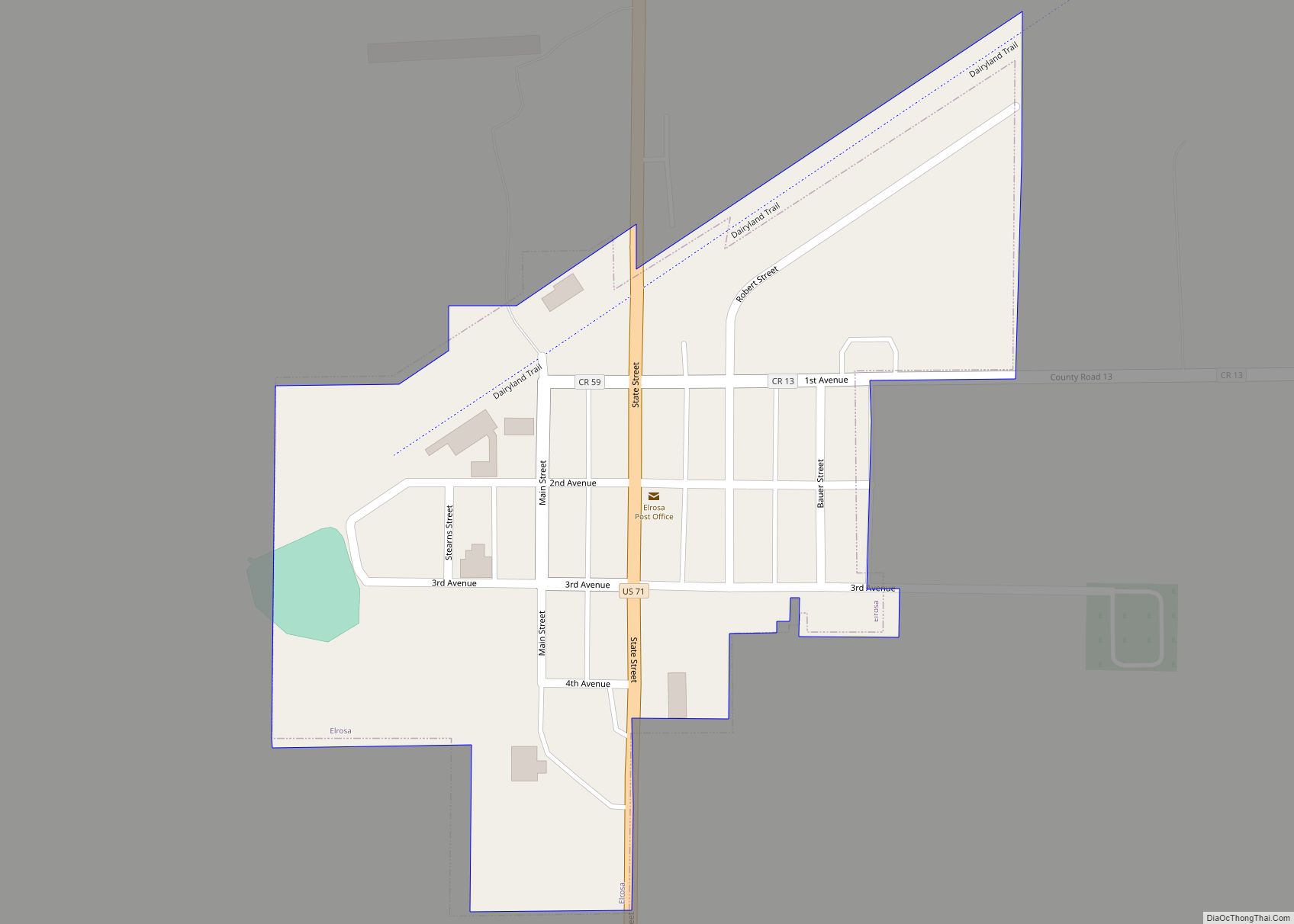
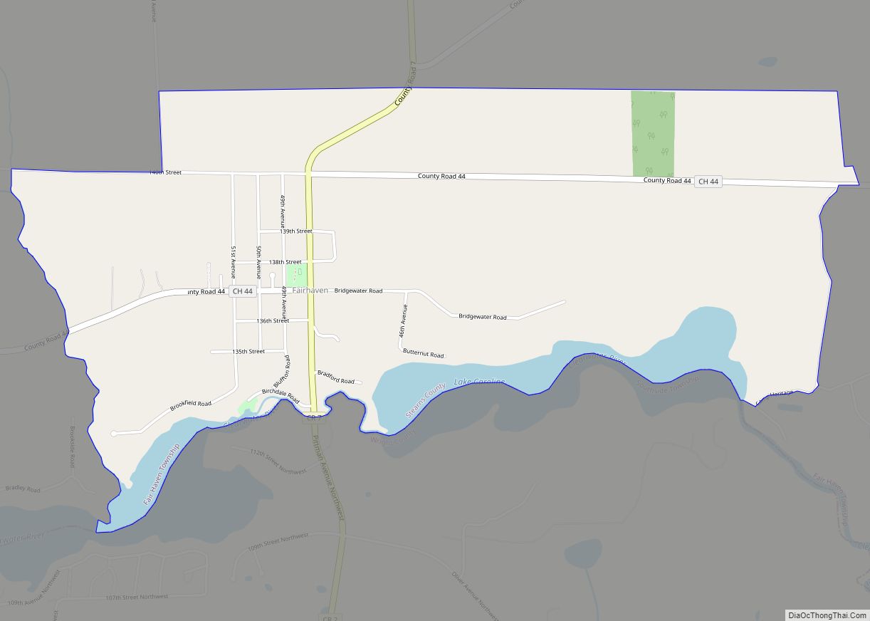
Online Interactive Map
Click on ![]() to view map in "full screen" mode.
to view map in "full screen" mode.
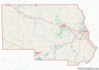
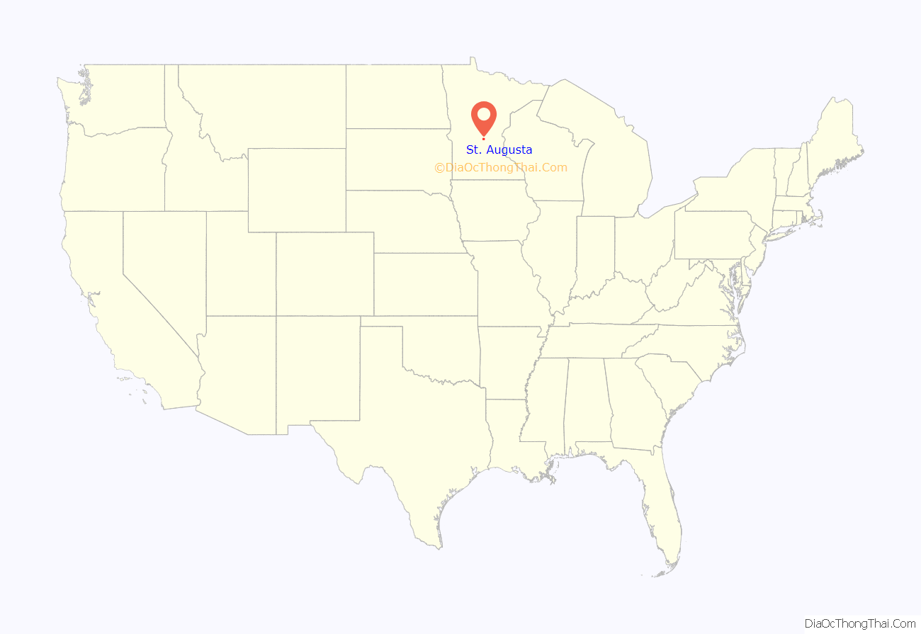
St. Augusta location map. Where is St. Augusta city?

History
Originally Saint Augusta Township, it incorporated as a city on May 2, 2000 in order to avoid annexation by the city of Saint Cloud. St. Augusta was named in the 1850s after a local church. The city contains one property listed on the National Register of Historic Places: the 1873 St. Mary Help of Christians Church and its 1890 rectory.
For a short time Saint Augusta was officially named Ventura in honor of then Governor Jesse Ventura, but voters decided on its current name months after incorporation, and the name was officially changed to Saint Augusta on November 7, 2000.
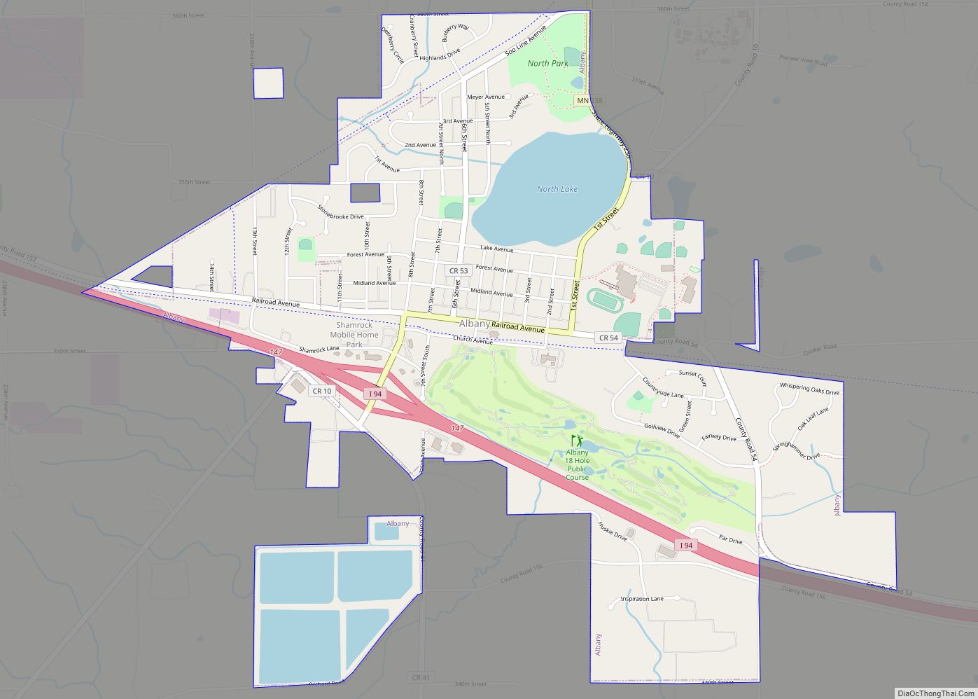
St. Augusta Road Map

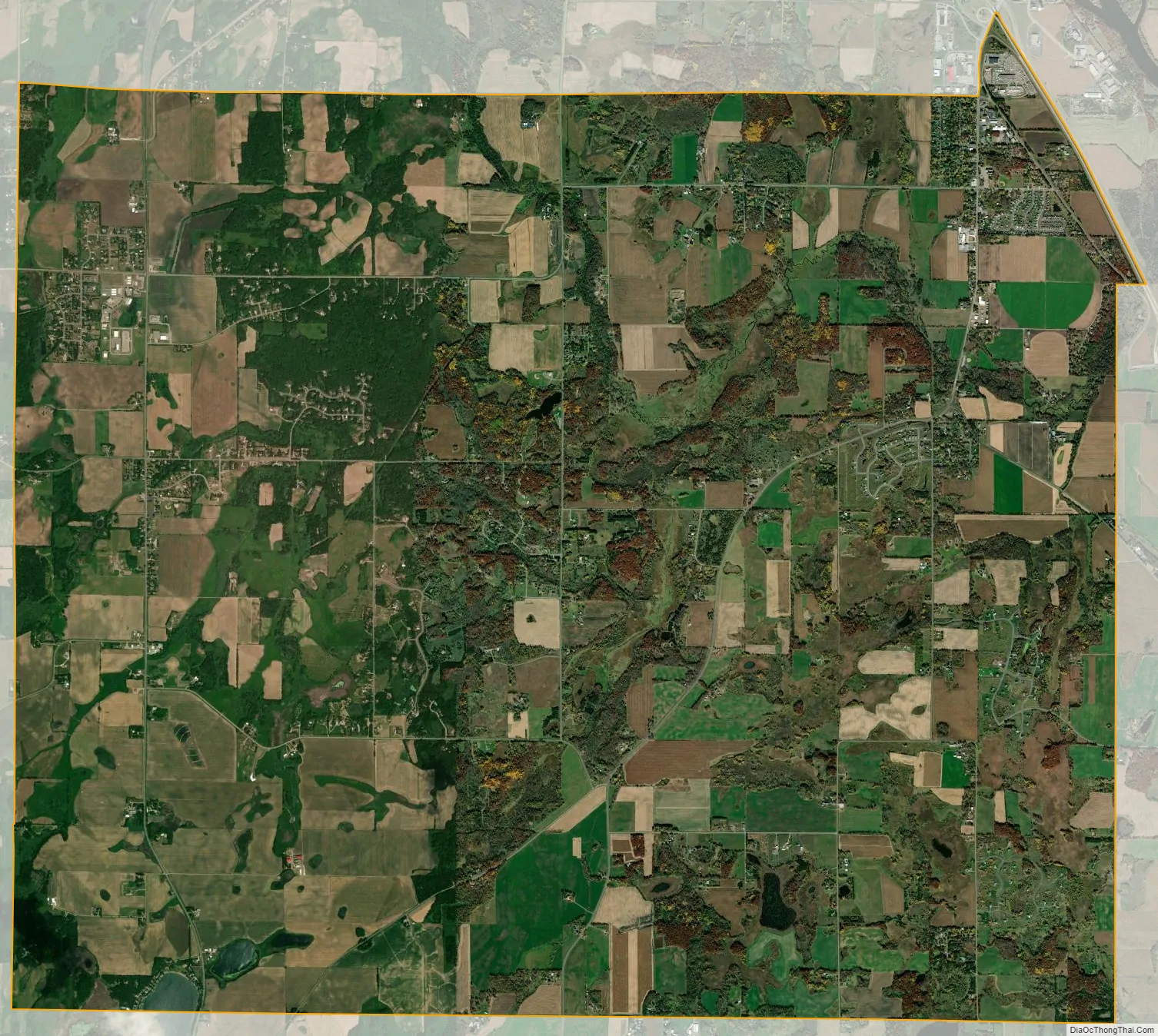
St. Augusta city Satellite Map
Geography
According to the United States Census Bureau, the city has a total area of 29.81 square miles (77.21 km); 29.66 square miles (76.82 km) is land and 0.15 square miles (0.39 km) is water.
Minnesota State Highway 15 and County Route 7 are two of the main routes in Saint Augusta. Interstate 94/U.S. Highway 52 and County Route 75 skirt the northeastern border of St. Augusta. The city of Saint Cloud is to the immediate north and northeast of Saint Augusta.
See also
Map of Minnesota State and its subdivision:- Aitkin
- Anoka
- Becker
- Beltrami
- Benton
- Big Stone
- Blue Earth
- Brown
- Carlton
- Carver
- Cass
- Chippewa
- Chisago
- Clay
- Clearwater
- Cook
- Cottonwood
- Crow Wing
- Dakota
- Dodge
- Douglas
- Faribault
- Fillmore
- Freeborn
- Goodhue
- Grant
- Hennepin
- Houston
- Hubbard
- Isanti
- Itasca
- Jackson
- Kanabec
- Kandiyohi
- Kittson
- Koochiching
- Lac qui Parle
- Lake
- Lake of the Woods
- Lake Superior
- Le Sueur
- Lincoln
- Lyon
- Mahnomen
- Marshall
- Martin
- McLeod
- Meeker
- Mille Lacs
- Morrison
- Mower
- Murray
- Nicollet
- Nobles
- Norman
- Olmsted
- Otter Tail
- Pennington
- Pine
- Pipestone
- Polk
- Pope
- Ramsey
- Red Lake
- Redwood
- Renville
- Rice
- Rock
- Roseau
- Saint Louis
- Scott
- Sherburne
- Sibley
- Stearns
- Steele
- Stevens
- Swift
- Todd
- Traverse
- Wabasha
- Wadena
- Waseca
- Washington
- Watonwan
- Wilkin
- Winona
- Wright
- Yellow Medicine
- Alabama
- Alaska
- Arizona
- Arkansas
- California
- Colorado
- Connecticut
- Delaware
- District of Columbia
- Florida
- Georgia
- Hawaii
- Idaho
- Illinois
- Indiana
- Iowa
- Kansas
- Kentucky
- Louisiana
- Maine
- Maryland
- Massachusetts
- Michigan
- Minnesota
- Mississippi
- Missouri
- Montana
- Nebraska
- Nevada
- New Hampshire
- New Jersey
- New Mexico
- New York
- North Carolina
- North Dakota
- Ohio
- Oklahoma
- Oregon
- Pennsylvania
- Rhode Island
- South Carolina
- South Dakota
- Tennessee
- Texas
- Utah
- Vermont
- Virginia
- Washington
- West Virginia
- Wisconsin
- Wyoming