Victoria is a city in Carver County, Minnesota, United States. The population was 10,546 at the 2020 census.
| Name: | Victoria city |
|---|---|
| LSAD Code: | 25 |
| LSAD Description: | city (suffix) |
| State: | Minnesota |
| County: | Carver County |
| Elevation: | 988 ft (329.3 m) |
| Total Area: | 10.69 sq mi (27.70 km²) |
| Land Area: | 8.71 sq mi (22.57 km²) |
| Water Area: | 1.98 sq mi (5.13 km²) |
| Total Population: | 10,546 |
| Population Density: | 1,210.38/sq mi (467.34/km²) |
| ZIP code: | 55386 |
| Area code: | 952 |
| FIPS code: | 2767036 |
| GNISfeature ID: | 0653650 |
| Website: | ci.victoria.mn.us |
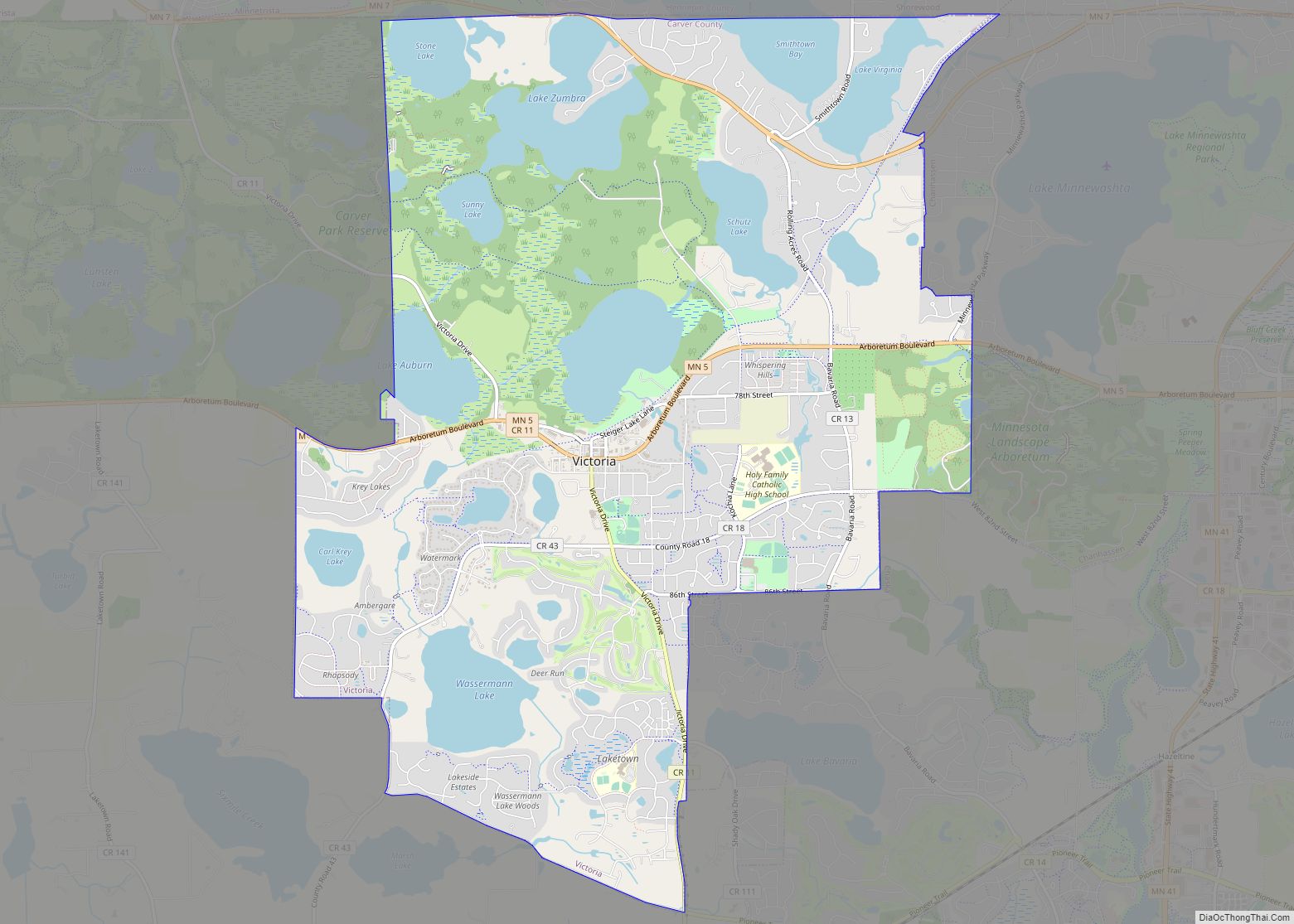
Online Interactive Map
Click on ![]() to view map in "full screen" mode.
to view map in "full screen" mode.
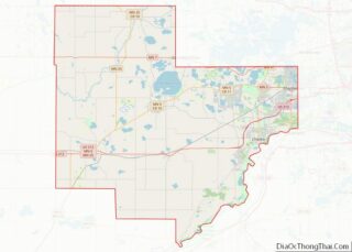
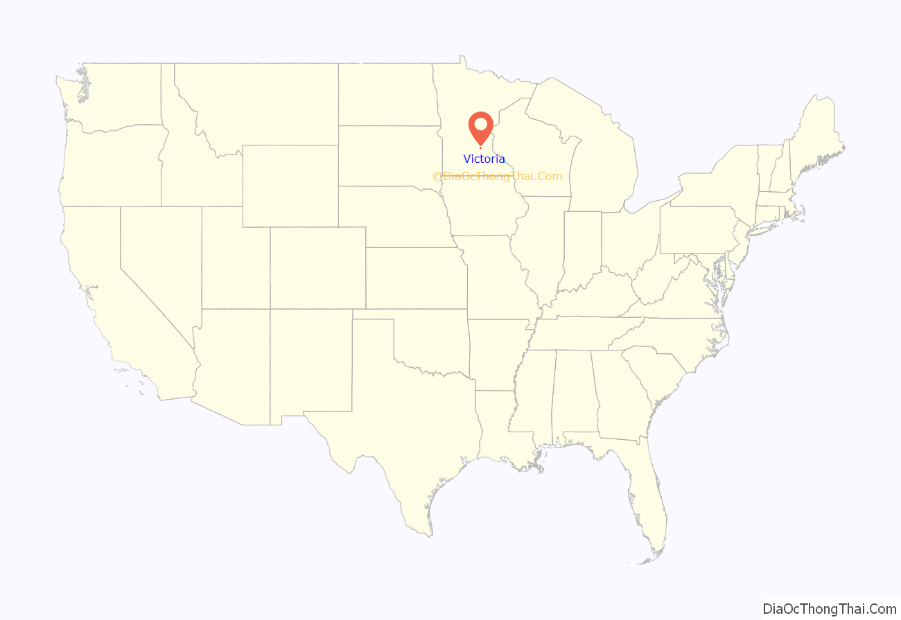
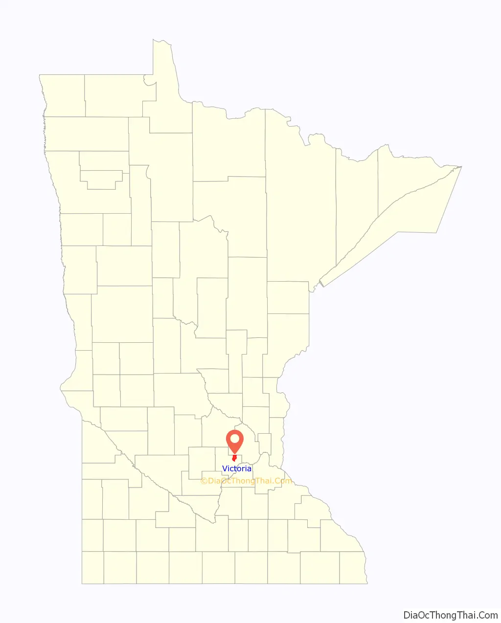
Victoria location map. Where is Victoria city?
History
Michael Diethelm is believed to be the first settler in Victoria after setting up a shelter for his wife and two children in 1851 near the present-day St. Victoria Church. The city itself is named after the church, built on 30 acres (120,000 m) of land just north of Lake Bavaria in 1857. A year later, steamboats from St. Paul began bringing in additional supplies for early settlers. The settlement continued to grow as the rich soil attracted farmers. Also in 1858, the Laketown Moravian Brethren’s Church was established and is now on the National Register of Historic Places. Eventually the steamboats to Chaska and the St. Paul railroad helped transform the area into a thriving community.
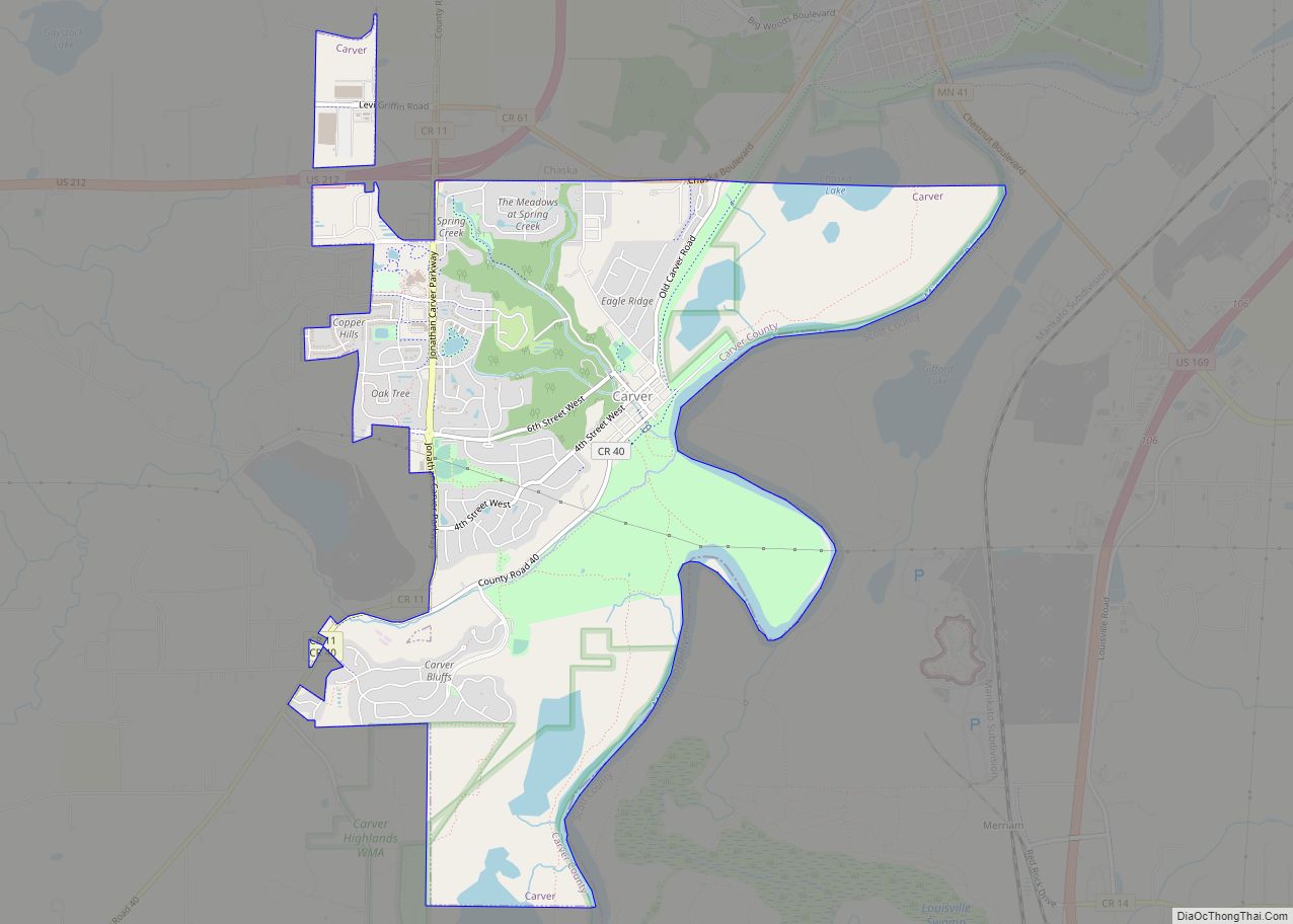
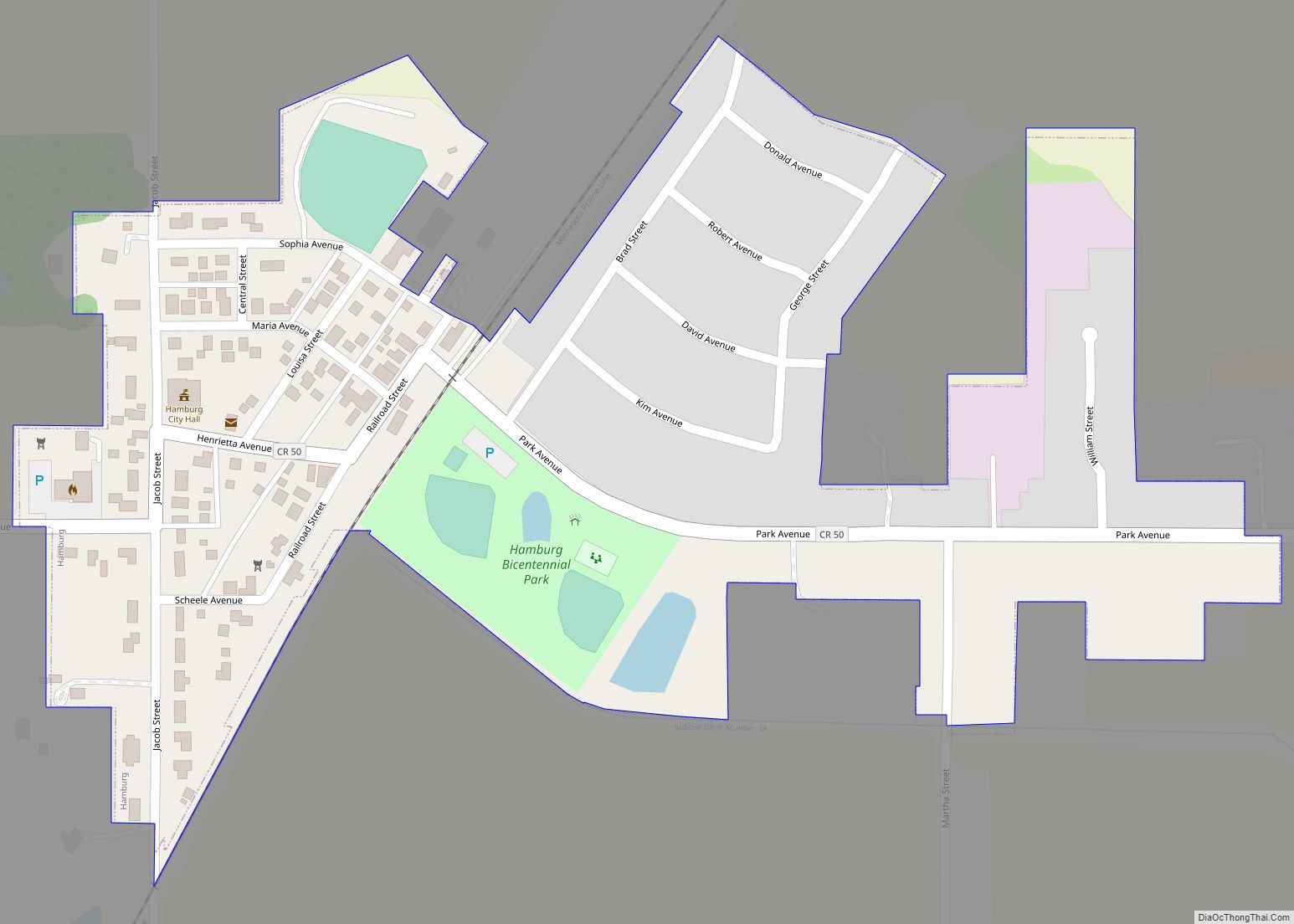
Victoria Road Map
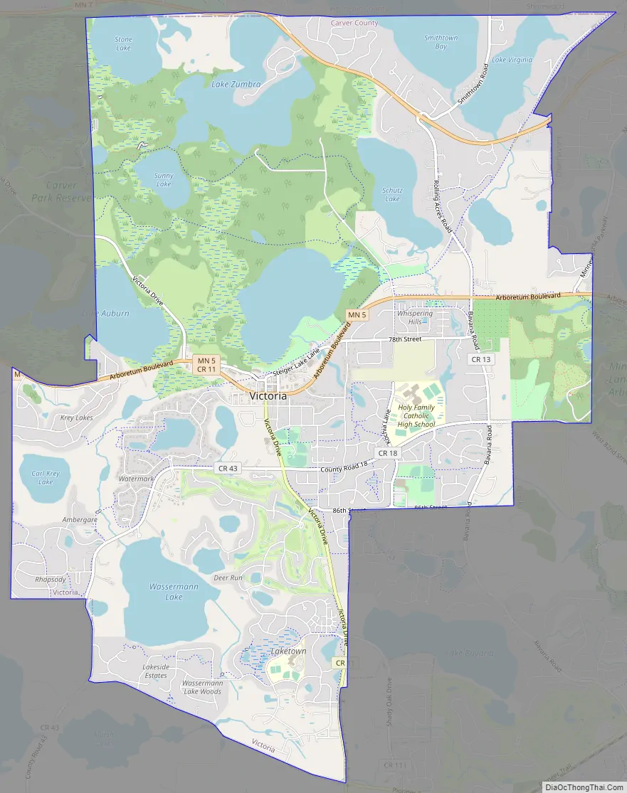
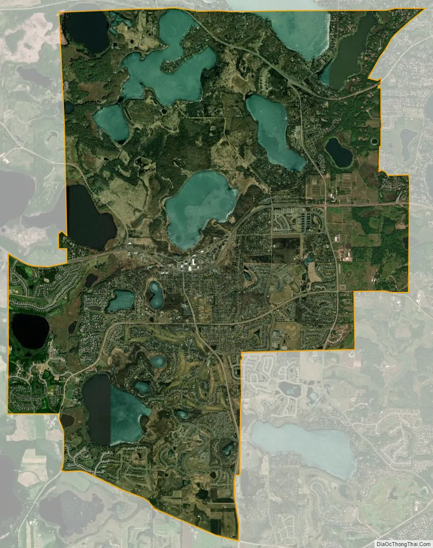
Victoria city Satellite Map
Geography
According to the United States Census Bureau, the city has an area of 9.79 square miles (25.36 km), of which 8.01 square miles (20.75 km) is land and 1.78 square miles (4.61 km) is water.
State Highways 5 and 7 are two of Victoria’s main routes.
Victoria has been nicknamed “The City of Lakes and Parks” because it has over 200 acres (0.81 km) of reserved land, 13 parks and nine lakes within its borders. Victoria is also home to the 1,800-acre (7.3 km) Carver Park Reserve.
In the 1850s, Victoria’s rich soil attracted many farmers from Germany, Switzerland, and the Netherlands.
See also
Map of Minnesota State and its subdivision:- Aitkin
- Anoka
- Becker
- Beltrami
- Benton
- Big Stone
- Blue Earth
- Brown
- Carlton
- Carver
- Cass
- Chippewa
- Chisago
- Clay
- Clearwater
- Cook
- Cottonwood
- Crow Wing
- Dakota
- Dodge
- Douglas
- Faribault
- Fillmore
- Freeborn
- Goodhue
- Grant
- Hennepin
- Houston
- Hubbard
- Isanti
- Itasca
- Jackson
- Kanabec
- Kandiyohi
- Kittson
- Koochiching
- Lac qui Parle
- Lake
- Lake of the Woods
- Lake Superior
- Le Sueur
- Lincoln
- Lyon
- Mahnomen
- Marshall
- Martin
- McLeod
- Meeker
- Mille Lacs
- Morrison
- Mower
- Murray
- Nicollet
- Nobles
- Norman
- Olmsted
- Otter Tail
- Pennington
- Pine
- Pipestone
- Polk
- Pope
- Ramsey
- Red Lake
- Redwood
- Renville
- Rice
- Rock
- Roseau
- Saint Louis
- Scott
- Sherburne
- Sibley
- Stearns
- Steele
- Stevens
- Swift
- Todd
- Traverse
- Wabasha
- Wadena
- Waseca
- Washington
- Watonwan
- Wilkin
- Winona
- Wright
- Yellow Medicine
- Alabama
- Alaska
- Arizona
- Arkansas
- California
- Colorado
- Connecticut
- Delaware
- District of Columbia
- Florida
- Georgia
- Hawaii
- Idaho
- Illinois
- Indiana
- Iowa
- Kansas
- Kentucky
- Louisiana
- Maine
- Maryland
- Massachusetts
- Michigan
- Minnesota
- Mississippi
- Missouri
- Montana
- Nebraska
- Nevada
- New Hampshire
- New Jersey
- New Mexico
- New York
- North Carolina
- North Dakota
- Ohio
- Oklahoma
- Oregon
- Pennsylvania
- Rhode Island
- South Carolina
- South Dakota
- Tennessee
- Texas
- Utah
- Vermont
- Virginia
- Washington
- West Virginia
- Wisconsin
- Wyoming