Waite Park is a city in Stearns County, Minnesota, United States. The population was 8,341 at the 2020 census. It is part of the St. Cloud Metropolitan Statistical Area.
| Name: | Waite Park city |
|---|---|
| LSAD Code: | 25 |
| LSAD Description: | city (suffix) |
| State: | Minnesota |
| County: | Stearns County |
| Incorporated: | 1893 |
| Elevation: | 1,070 ft (326 m) |
| Total Area: | 12.71 sq mi (32.92 km²) |
| Land Area: | 12.63 sq mi (32.71 km²) |
| Water Area: | 0.08 sq mi (0.22 km²) |
| Total Population: | 8,341 |
| Population Density: | 660.52/sq mi (255.02/km²) |
| ZIP code: | 56387, 56388 |
| Area code: | 320 |
| FIPS code: | 2767612 |
| GNISfeature ID: | 0653722 |
| Website: | ci.waitepark.mn.us |
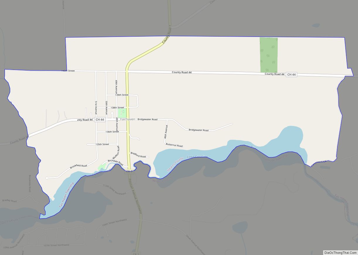
Online Interactive Map
Click on ![]() to view map in "full screen" mode.
to view map in "full screen" mode.
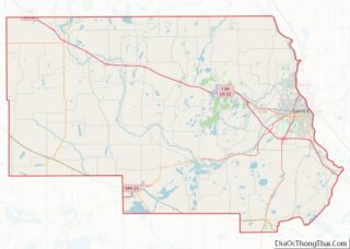
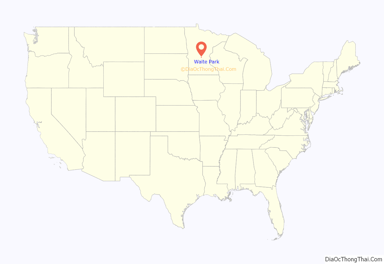
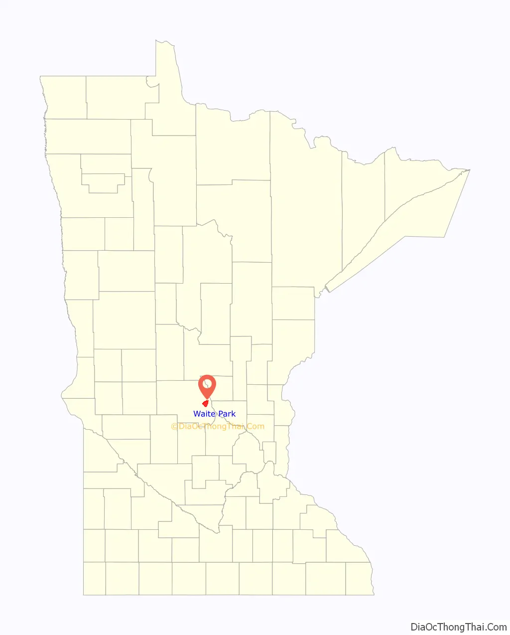
Waite Park location map. Where is Waite Park city?
History
Waite Park was incorporated in 1893. The city was named for Henry Chester Waite, a state legislator. A post office was established at Waite Park in 1897, and remained in operation until 1972.
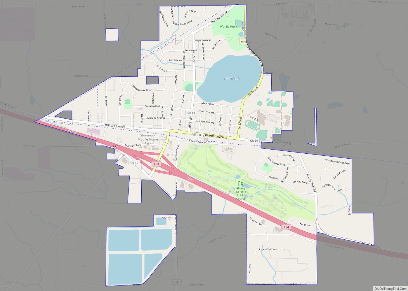
Waite Park Road Map

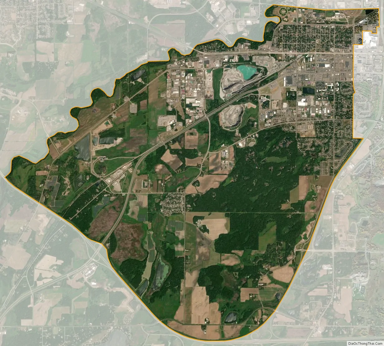
Waite Park city Satellite Map
Geography
According to the United States Census Bureau, the city has an area of 8.94 square miles (23.15 km); 8.90 square miles (23.05 km) is land and 0.04 square miles (0.10 km) is water.
Minnesota State Highway 23 and County 75 are two of Waite Park’s main routes.
Minnesota Highway 15 skirts Waite Park’s southeastern border. Interstate Highway 94 is immediately southwest of Waite Park.
Waite Park is immediately west of the city of St. Cloud.
See also
Map of Minnesota State and its subdivision:- Aitkin
- Anoka
- Becker
- Beltrami
- Benton
- Big Stone
- Blue Earth
- Brown
- Carlton
- Carver
- Cass
- Chippewa
- Chisago
- Clay
- Clearwater
- Cook
- Cottonwood
- Crow Wing
- Dakota
- Dodge
- Douglas
- Faribault
- Fillmore
- Freeborn
- Goodhue
- Grant
- Hennepin
- Houston
- Hubbard
- Isanti
- Itasca
- Jackson
- Kanabec
- Kandiyohi
- Kittson
- Koochiching
- Lac qui Parle
- Lake
- Lake of the Woods
- Lake Superior
- Le Sueur
- Lincoln
- Lyon
- Mahnomen
- Marshall
- Martin
- McLeod
- Meeker
- Mille Lacs
- Morrison
- Mower
- Murray
- Nicollet
- Nobles
- Norman
- Olmsted
- Otter Tail
- Pennington
- Pine
- Pipestone
- Polk
- Pope
- Ramsey
- Red Lake
- Redwood
- Renville
- Rice
- Rock
- Roseau
- Saint Louis
- Scott
- Sherburne
- Sibley
- Stearns
- Steele
- Stevens
- Swift
- Todd
- Traverse
- Wabasha
- Wadena
- Waseca
- Washington
- Watonwan
- Wilkin
- Winona
- Wright
- Yellow Medicine
- Alabama
- Alaska
- Arizona
- Arkansas
- California
- Colorado
- Connecticut
- Delaware
- District of Columbia
- Florida
- Georgia
- Hawaii
- Idaho
- Illinois
- Indiana
- Iowa
- Kansas
- Kentucky
- Louisiana
- Maine
- Maryland
- Massachusetts
- Michigan
- Minnesota
- Mississippi
- Missouri
- Montana
- Nebraska
- Nevada
- New Hampshire
- New Jersey
- New Mexico
- New York
- North Carolina
- North Dakota
- Ohio
- Oklahoma
- Oregon
- Pennsylvania
- Rhode Island
- South Carolina
- South Dakota
- Tennessee
- Texas
- Utah
- Vermont
- Virginia
- Washington
- West Virginia
- Wisconsin
- Wyoming