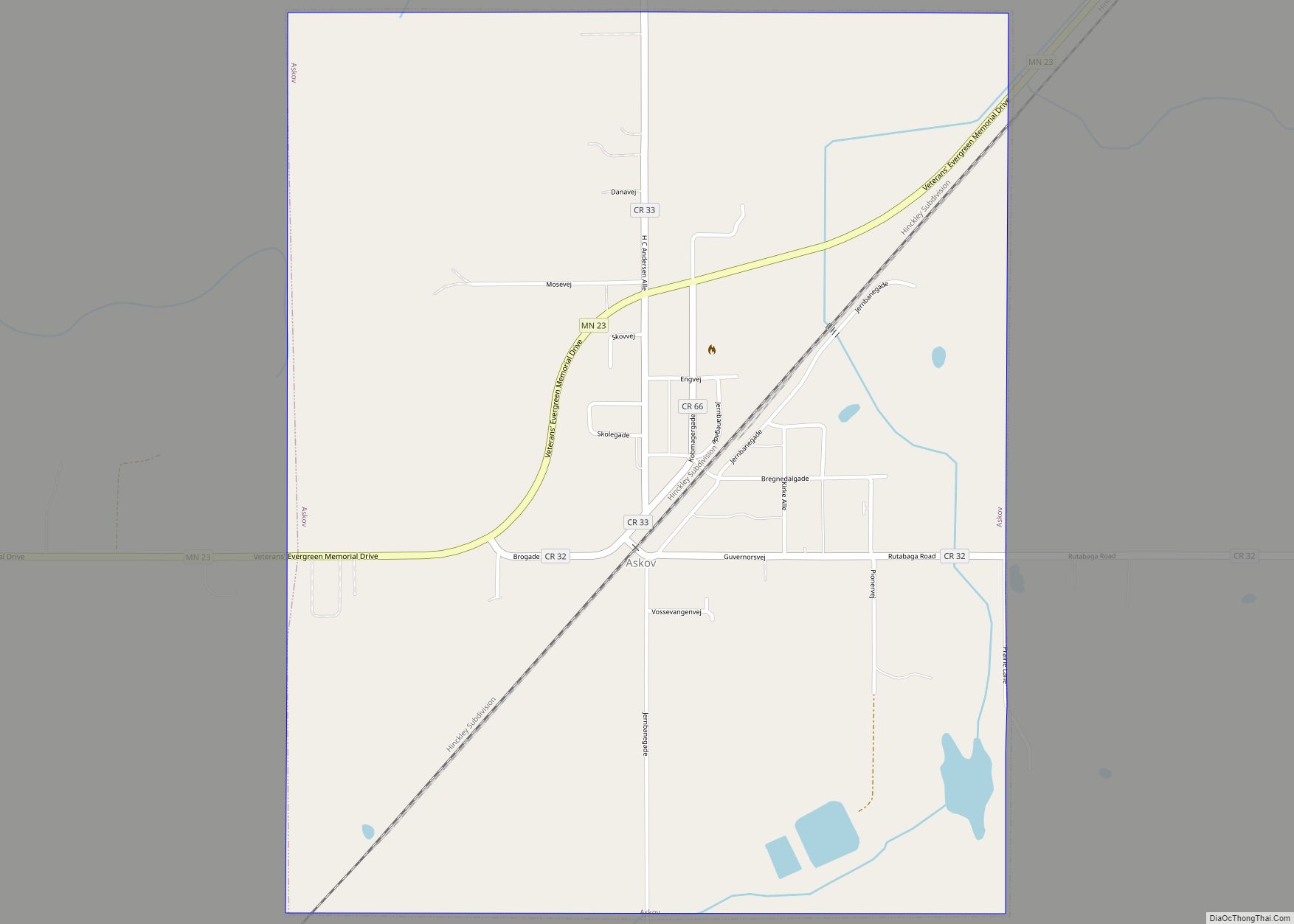
Willow River is a city in Pine County, Minnesota, United States, at the confluence of the Kettle and Willow Rivers. The population was 415 at the 2010 census.
Interstate 35, County Road 43, and County 61 (Cross Street) are three of the main routes in the community.
| Name: | Willow River city |
|---|---|
| LSAD Code: | 25 |
| LSAD Description: | city (suffix) |
| State: | Minnesota |
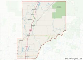
| County: | Pine County |
| Incorporated: | November 7, 1891 |
| Elevation: | 1,047 ft (319 m) |
| Total Area: | 1.90 sq mi (4.92 km²) |
| Land Area: | 1.75 sq mi (4.54 km²) |
| Water Area: | 0.15 sq mi (0.38 km²) |
| Total Population: | 384 |
| Population Density: | 219.05/sq mi (84.57/km²) |
| ZIP code: | 55795 |
| Area code: | 218 |
| FIPS code: | 2770492 |
| GNISfeature ID: | 2397324 |
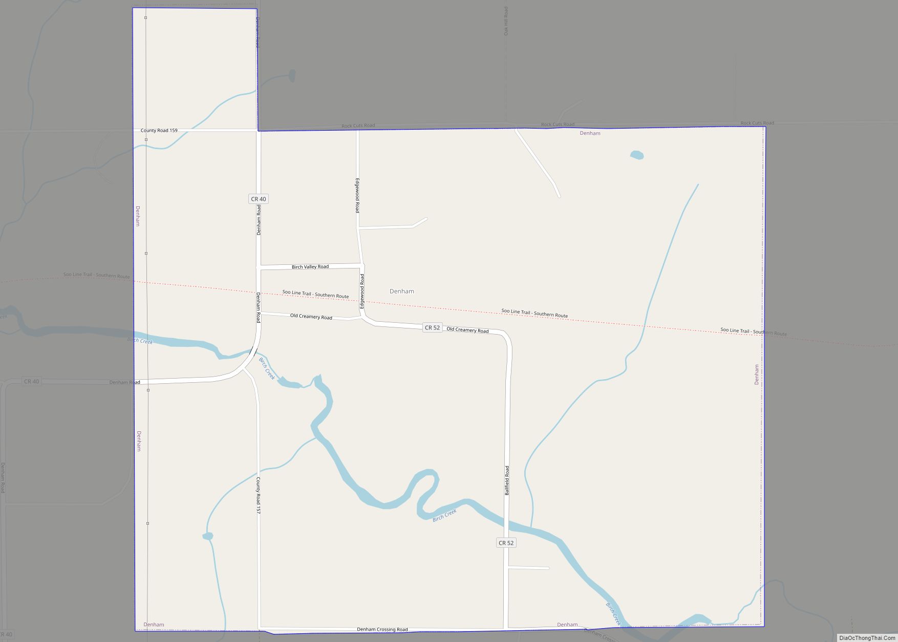
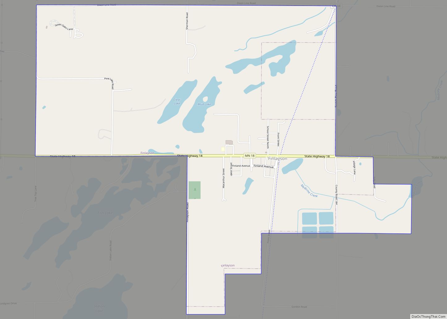
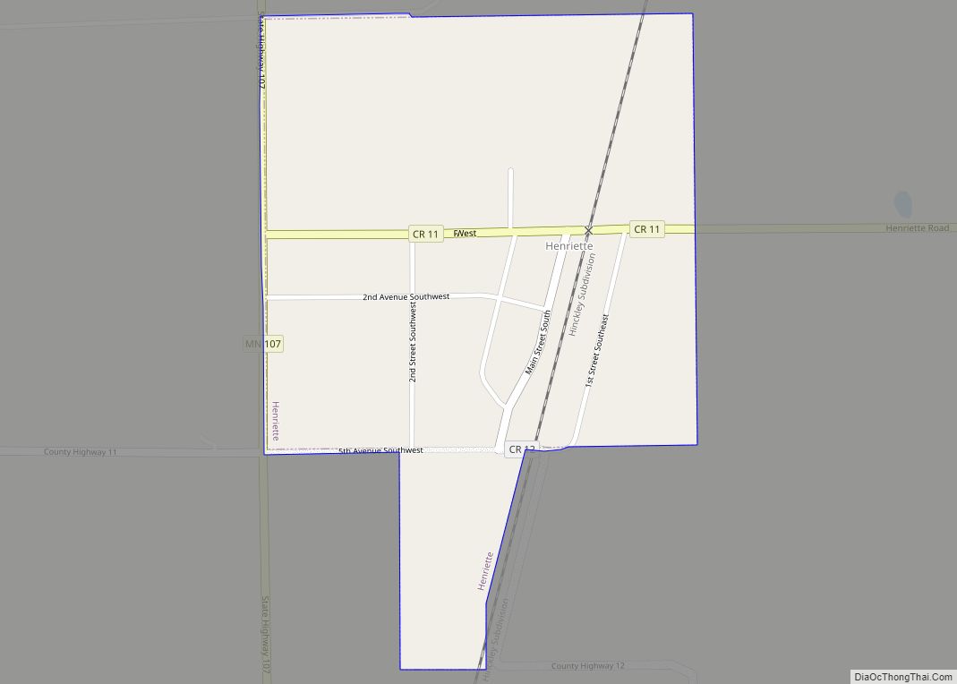
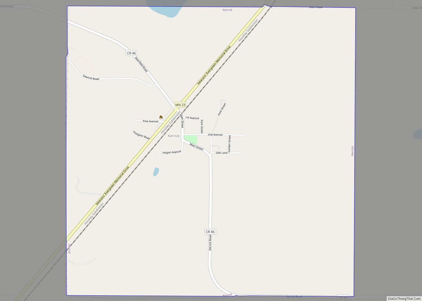
Online Interactive Map
Click on ![]() to view map in "full screen" mode.
to view map in "full screen" mode.
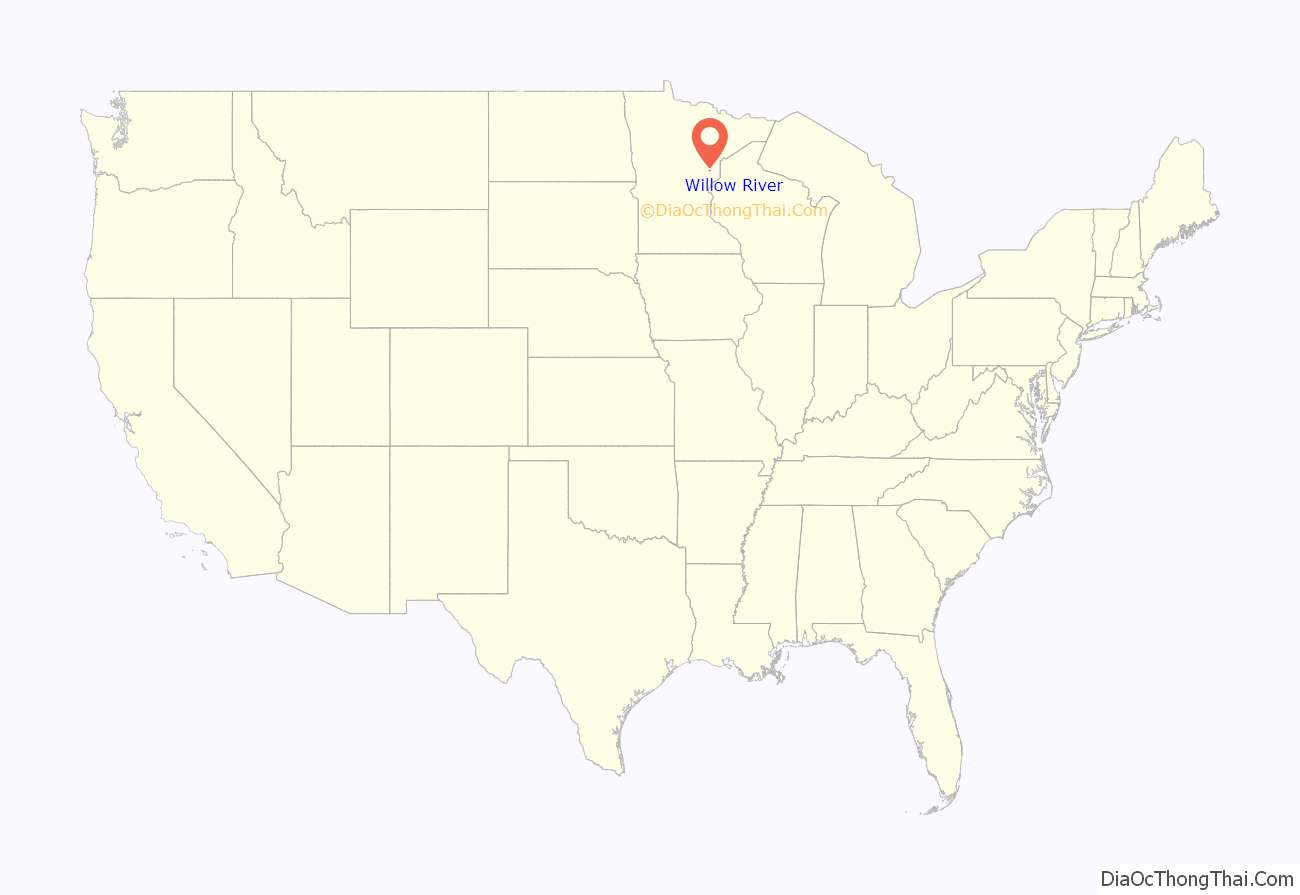
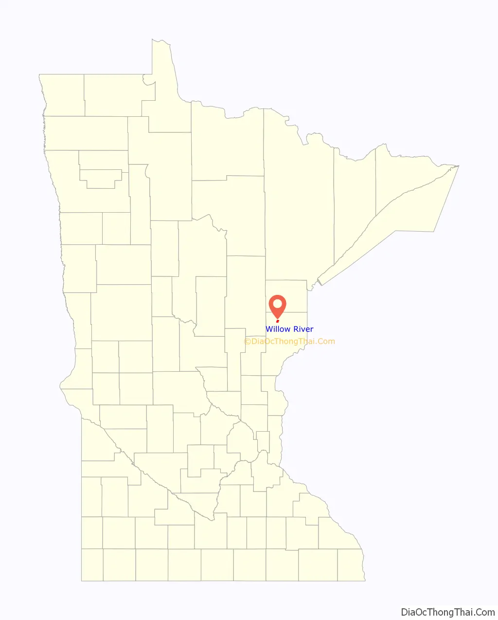
Willow River location map. Where is Willow River city?
History
The first known settlement in what was to become the Village of Willow River, at the junctions of the Willow and Kettle Rivers, was an encampment of Indigenous Ojibwe peoples.
In July 1850, a roadway connecting the upper Mississippi River and the Lake Superior country, named the Point Douglas to St. Louis River Road, and more commonly known as the government military road, went from just south of St. Paul to Duluth. Willow River was chosen as a changing station for the coach horses.
In 1861 the Lake Superior and Mississippi Railroad was organized with the financial help of Jay Cooke. It was only in August 1879 that the completed line from St. Paul to Duluth was opened. The railroad helped settle and promote living in the northern part of Minnesota. The railroad also promoted the lumber industry. Many towns and villages, including Willow River, were organized once a lumber company set up shop.
In March 1874, the Kettle River Township was organized and Willow River at this time consisted of a railroad depot, water tank, wood yard, and two section houses built for the railroad hands.
Pine County records show that the three sections of land that would eventually make up the village of Willow River were homesteaded by Edward Clough, Albert Kinney, Peter Jarvis, Joseph Nebula, and Richard Abbott. In 1886, Abbott sold his section of land to the Fox-Wisdom Lumber Company. In 1888, Jarvis sold his section to Fox-Wisdom. In the spring of 1890, Warren D. Fox and John Wisdom opened the Fox-Wisdom Lumber Company in Willow River. The company then platted the land to build their business and offer lots for employees. By 1895, Kinney had leased his land to Fox-Wisdom, and Clough had sold all but 80 acres of his section in the northern part of the village. Joseph Nebula’s section was past the lake and likely unusable to the company.
The Fox-Wisdom Lumber Company sawmill was constructed and opened in March 1890. It was located on the south side of the present day Willow River dam. To ease the flow of logs, dams were built along the river to store water. There were as least three built and maintained by Fox-Wisdom. They were known as the “Mile and a Half,” the “Willow Lake,” and the “Oak Lake” dams. Sawmill operations began in the early spring and continued until the freeze-up of the mill pond. The mill produced lumber, lath, and shingles employing about 125 men. The mill cut 125,000 feet of lumber per day during their peak season. Many who worked in the logging camps during the winter came to the mill to work in the spring.
On May 8, 1891, the village plat was filed in Pine County. The Fox-Wisdom Lumber Company and its employees made up the majority of property owners. Willow River, like many other villages in northern Minnesota, owed its existence to the lumber industry. In November 1891, Willow River was incorporated as a village by a vote of 37 to 18 in the upstairs hall of the Fox-Wisdom Company store.
Willow River Road Map
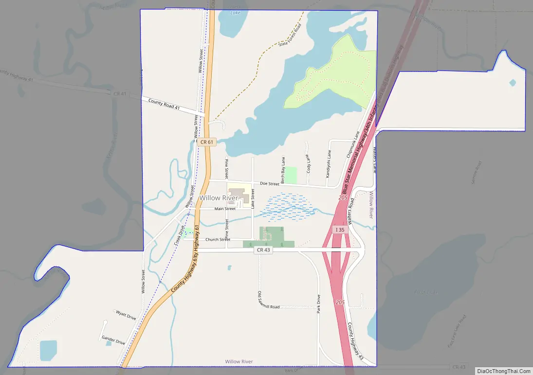
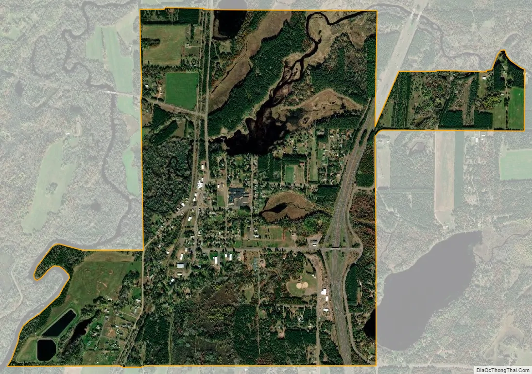
Willow River city Satellite Map
Geography
According to the United States Census Bureau, the city has a total area of 1.86 square miles (4.82 km), of which 1.71 square miles (4.43 km) is land and 0.15 square miles (0.39 km) is water.
See also
Map of Minnesota State and its subdivision:- Aitkin
- Anoka
- Becker
- Beltrami
- Benton
- Big Stone
- Blue Earth
- Brown
- Carlton
- Carver
- Cass
- Chippewa
- Chisago
- Clay
- Clearwater
- Cook
- Cottonwood
- Crow Wing
- Dakota
- Dodge
- Douglas
- Faribault
- Fillmore
- Freeborn
- Goodhue
- Grant
- Hennepin
- Houston
- Hubbard
- Isanti
- Itasca
- Jackson
- Kanabec
- Kandiyohi
- Kittson
- Koochiching
- Lac qui Parle
- Lake
- Lake of the Woods
- Lake Superior
- Le Sueur
- Lincoln
- Lyon
- Mahnomen
- Marshall
- Martin
- McLeod
- Meeker
- Mille Lacs
- Morrison
- Mower
- Murray
- Nicollet
- Nobles
- Norman
- Olmsted
- Otter Tail
- Pennington
- Pine
- Pipestone
- Polk
- Pope
- Ramsey
- Red Lake
- Redwood
- Renville
- Rice
- Rock
- Roseau
- Saint Louis
- Scott
- Sherburne
- Sibley
- Stearns
- Steele
- Stevens
- Swift
- Todd
- Traverse
- Wabasha
- Wadena
- Waseca
- Washington
- Watonwan
- Wilkin
- Winona
- Wright
- Yellow Medicine
- Alabama
- Alaska
- Arizona
- Arkansas
- California
- Colorado
- Connecticut
- Delaware
- District of Columbia
- Florida
- Georgia
- Hawaii
- Idaho
- Illinois
- Indiana
- Iowa
- Kansas
- Kentucky
- Louisiana
- Maine
- Maryland
- Massachusetts
- Michigan
- Minnesota
- Mississippi
- Missouri
- Montana
- Nebraska
- Nevada
- New Hampshire
- New Jersey
- New Mexico
- New York
- North Carolina
- North Dakota
- Ohio
- Oklahoma
- Oregon
- Pennsylvania
- Rhode Island
- South Carolina
- South Dakota
- Tennessee
- Texas
- Utah
- Vermont
- Virginia
- Washington
- West Virginia
- Wisconsin
- Wyoming