Zimmerman is a city in Sherburne County, Minnesota, United States. The population was 5,228 at the 2010 census.
Zimmerman is a predominantly rural community. U.S. Highway 169 serves as a main route in the area. The community is 42 miles north-northwest of Minneapolis and 33 miles east-southeast of St. Cloud.
| Name: | Zimmerman city |
|---|---|
| LSAD Code: | 25 |
| LSAD Description: | city (suffix) |
| State: | Minnesota |
| County: | Sherburne County |
| Total Area: | 3.62 sq mi (9.37 km²) |
| Land Area: | 3.47 sq mi (8.98 km²) |
| Water Area: | 0.15 sq mi (0.39 km²) |
| Total Population: | 6,189 |
| Population Density: | 1,785.63/sq mi (689.43/km²) |
| ZIP code: | 55398 |
| Area code: | 763 |
| FIPS code: | 2772238 |
| Website: | zimmerman.govoffice.com |
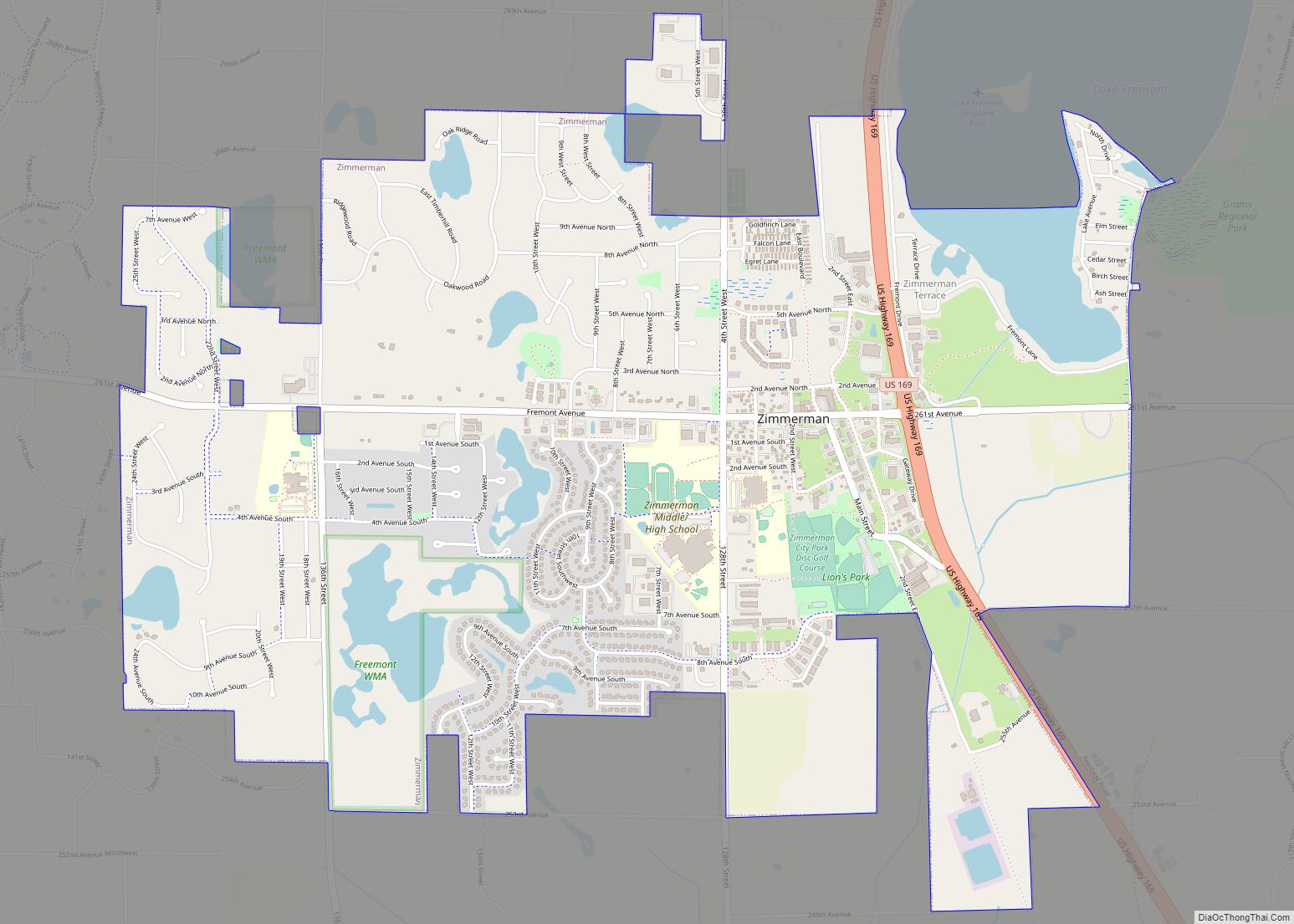
Online Interactive Map
Click on ![]() to view map in "full screen" mode.
to view map in "full screen" mode.
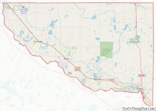
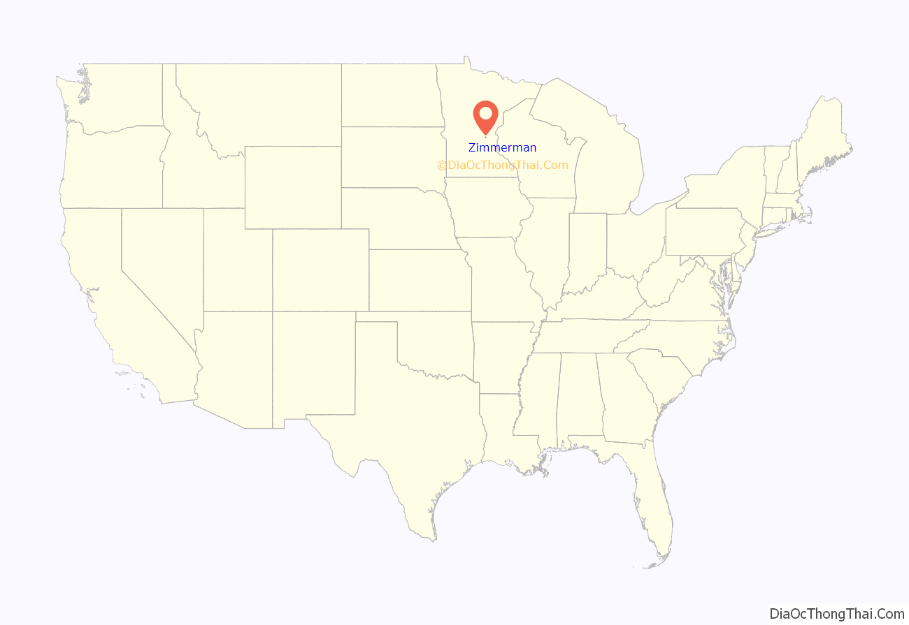
Zimmerman location map. Where is Zimmerman city?

History
The Village of Lake Fremont was incorporated in 1910. In 1967, the town was renamed the City of Zimmerman. Lake Fremont was named for the western explorer, John C. Frémont, and the name Zimmerman derives from Moses Zimmerman, a local farmer who was influential in promoting the idea of the Great Northern Railway coming through the area.
Zimmerman Road Map
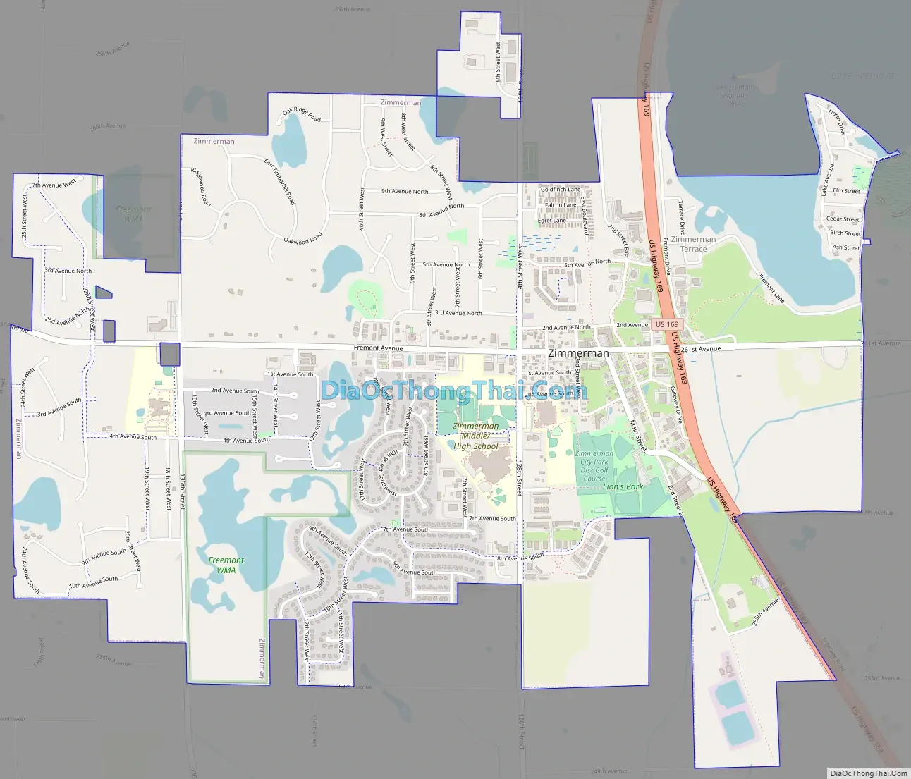
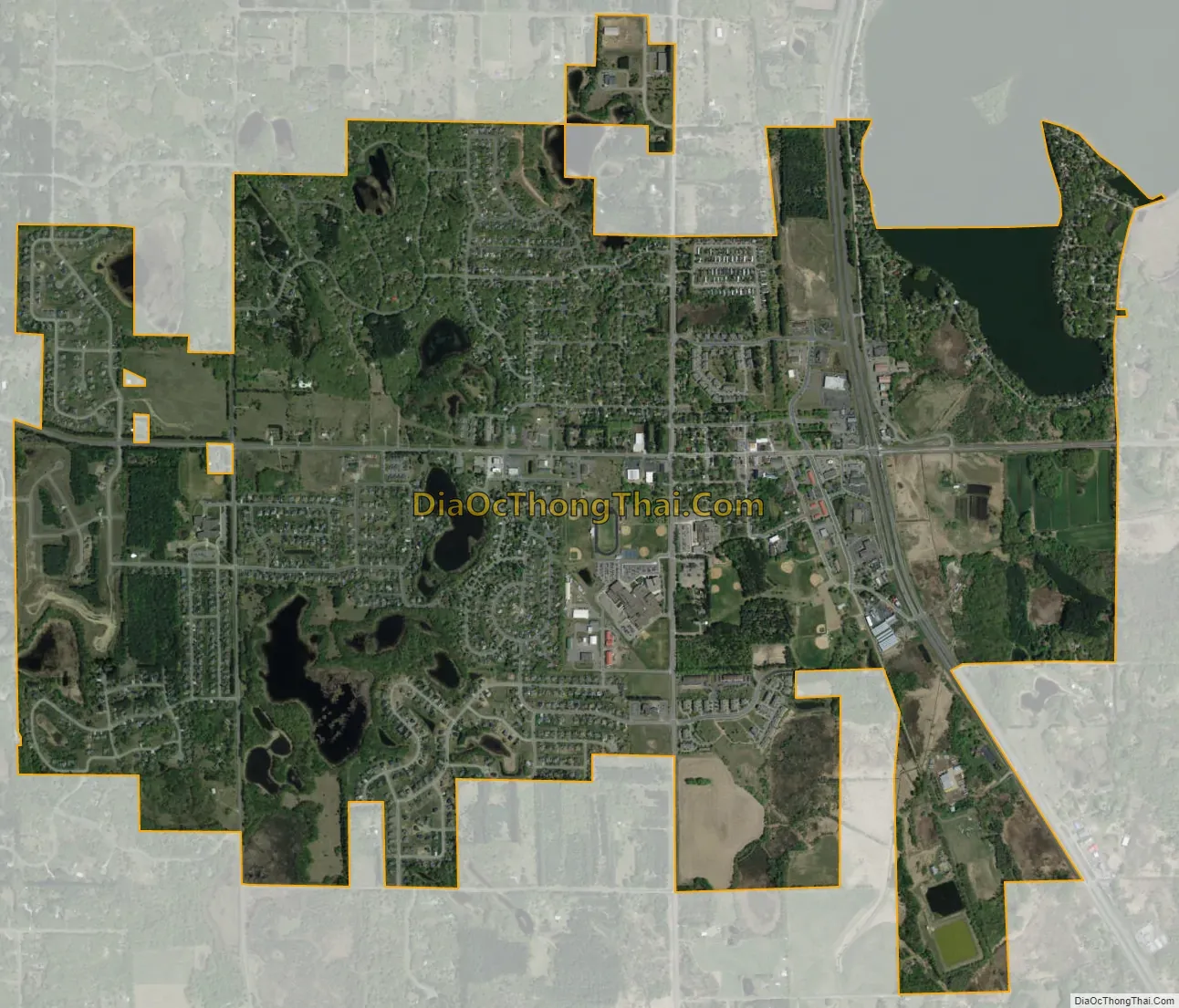
Zimmerman city Satellite Map
Geography
According to the United States Census Bureau, the city has a total area of 3.56 square miles (9.22 km); 3.42 square miles (8.86 km) is land and 0.14 square miles (0.36 km) is water.
Major highway
- U.S. Highway 169
See also
Map of Minnesota State and its subdivision:- Aitkin
- Anoka
- Becker
- Beltrami
- Benton
- Big Stone
- Blue Earth
- Brown
- Carlton
- Carver
- Cass
- Chippewa
- Chisago
- Clay
- Clearwater
- Cook
- Cottonwood
- Crow Wing
- Dakota
- Dodge
- Douglas
- Faribault
- Fillmore
- Freeborn
- Goodhue
- Grant
- Hennepin
- Houston
- Hubbard
- Isanti
- Itasca
- Jackson
- Kanabec
- Kandiyohi
- Kittson
- Koochiching
- Lac qui Parle
- Lake
- Lake of the Woods
- Lake Superior
- Le Sueur
- Lincoln
- Lyon
- Mahnomen
- Marshall
- Martin
- McLeod
- Meeker
- Mille Lacs
- Morrison
- Mower
- Murray
- Nicollet
- Nobles
- Norman
- Olmsted
- Otter Tail
- Pennington
- Pine
- Pipestone
- Polk
- Pope
- Ramsey
- Red Lake
- Redwood
- Renville
- Rice
- Rock
- Roseau
- Saint Louis
- Scott
- Sherburne
- Sibley
- Stearns
- Steele
- Stevens
- Swift
- Todd
- Traverse
- Wabasha
- Wadena
- Waseca
- Washington
- Watonwan
- Wilkin
- Winona
- Wright
- Yellow Medicine
- Alabama
- Alaska
- Arizona
- Arkansas
- California
- Colorado
- Connecticut
- Delaware
- District of Columbia
- Florida
- Georgia
- Hawaii
- Idaho
- Illinois
- Indiana
- Iowa
- Kansas
- Kentucky
- Louisiana
- Maine
- Maryland
- Massachusetts
- Michigan
- Minnesota
- Mississippi
- Missouri
- Montana
- Nebraska
- Nevada
- New Hampshire
- New Jersey
- New Mexico
- New York
- North Carolina
- North Dakota
- Ohio
- Oklahoma
- Oregon
- Pennsylvania
- Rhode Island
- South Carolina
- South Dakota
- Tennessee
- Texas
- Utah
- Vermont
- Virginia
- Washington
- West Virginia
- Wisconsin
- Wyoming